
USGS research focused on land change, natural hazards, and ecology using GIS and remote sensing. Tweets do not = endorsement.
- Tweets 680
- Following 292
- Followers 911
- Likes 607


ALT Dr. Teluguntla holds the award certificate he received for his team while standing in front of an American Society of Photogrammetry and Remote Sensing banner.
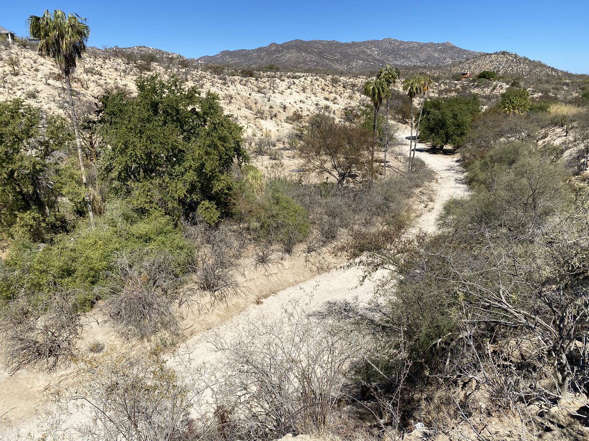
ALT Dry desert wash in Baja California Sur, Mexico lined with scattered shrubs and a few tall trees against distant rocky hills (credit: Natalie Wilson).
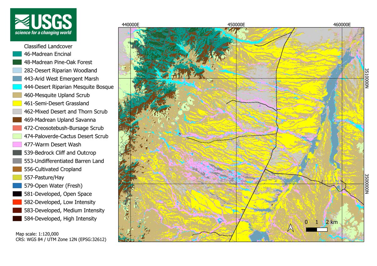
ALT Vegetation and land use/land cover of the Altar Valley, AZ.
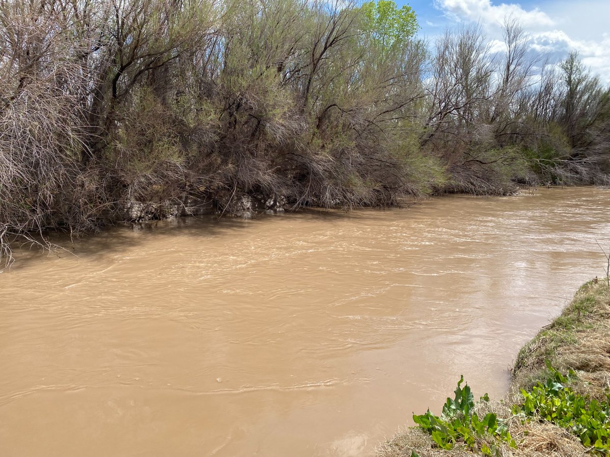
ALT A river flows strongly, tamarisk is on the far bank, annuals on the near bank.
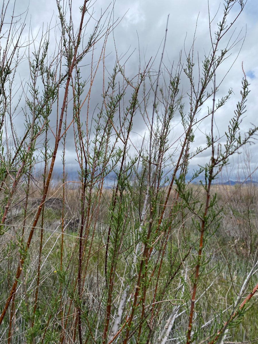
ALT Tamarisk branches with fresh leaves in front of cloudy aridland background.
ALT A scientist sits, smiling, while she slowly lowers the tape of a water level sounder into a well.
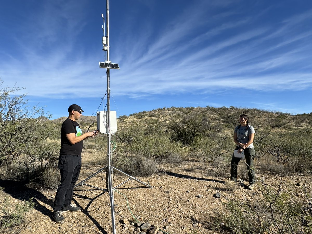
ALT USGS scientists B. Smith and R. Huang stand next to and adjust a system to measure evapotranspiration in an arid land stream channel, surrounded by mesquite shrubs and grassland.
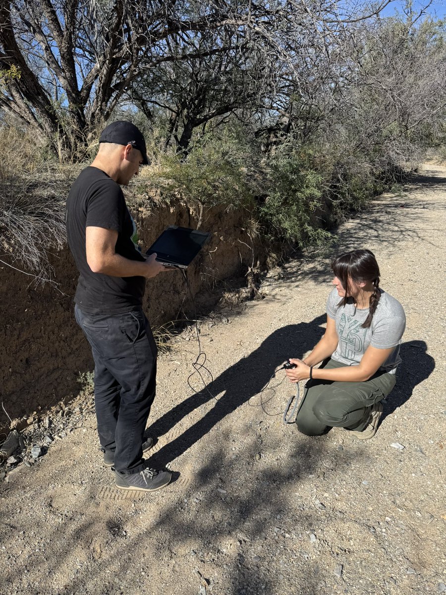
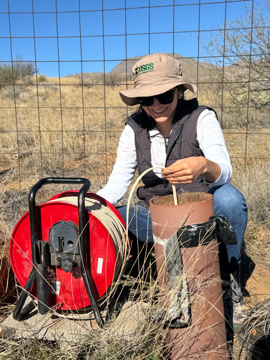
ALT USGS scientists B. Smith and R. Huang collect data from a soil moisture sensor that is located within an incised arid land stream channel with a sandy streambed.

ALT USGS scientist B. Smith collects data from an evapotranspiration sensor surrounded by mesquite shrubs and grassland.

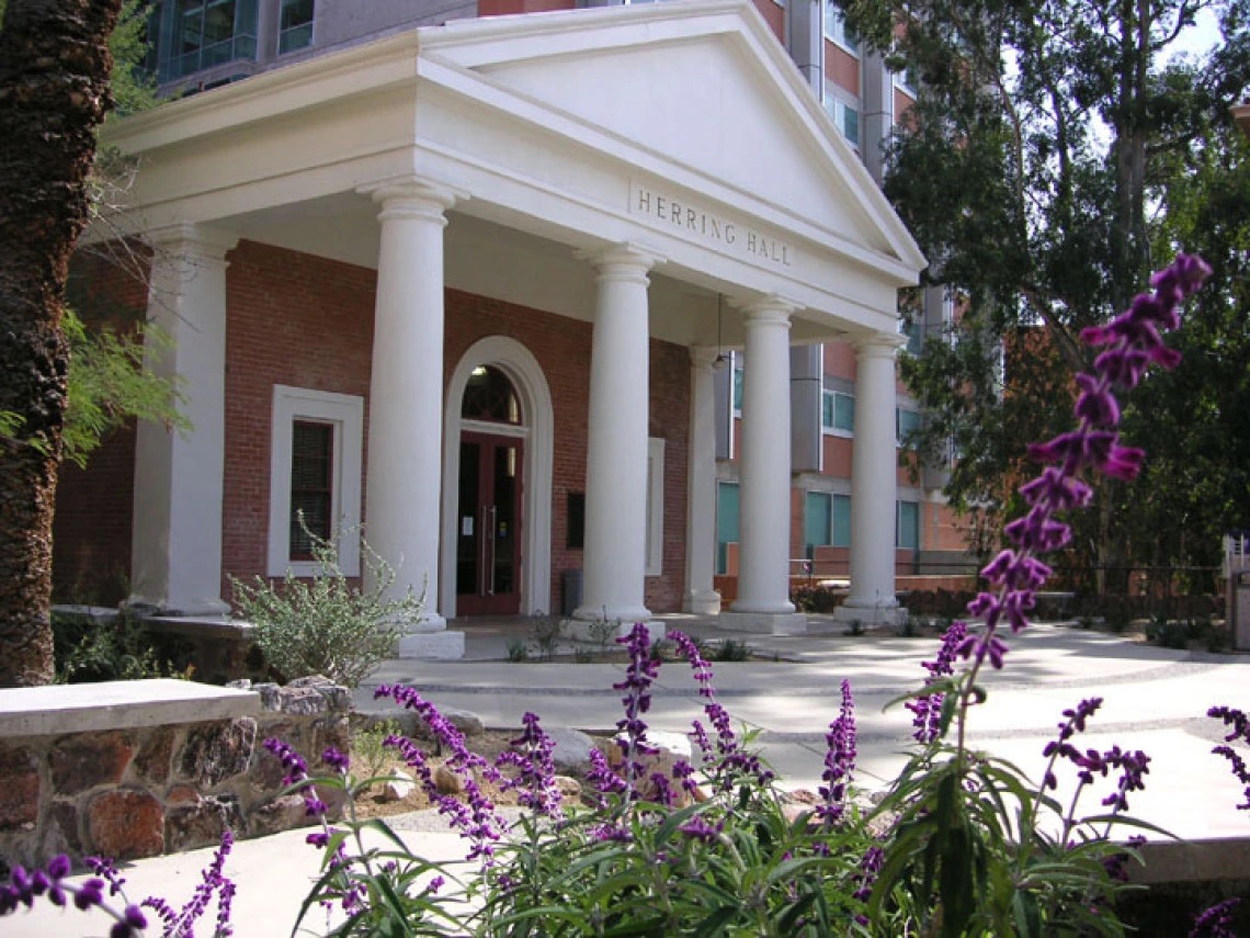
ALT Herring Hall. A small Roman Revival building with a prostyle portico and arched entrance with purple flowers in the foreground.
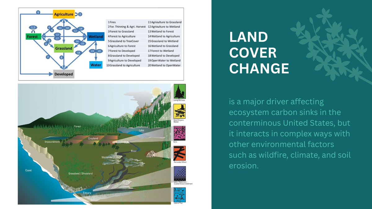
ALT The figure on top shows the land cover type and land change processes considered in the study. The processes of wildfire, tree partial cut, and crop harvest are also included. The bottom figure shows the major ecosystem carbon pools.
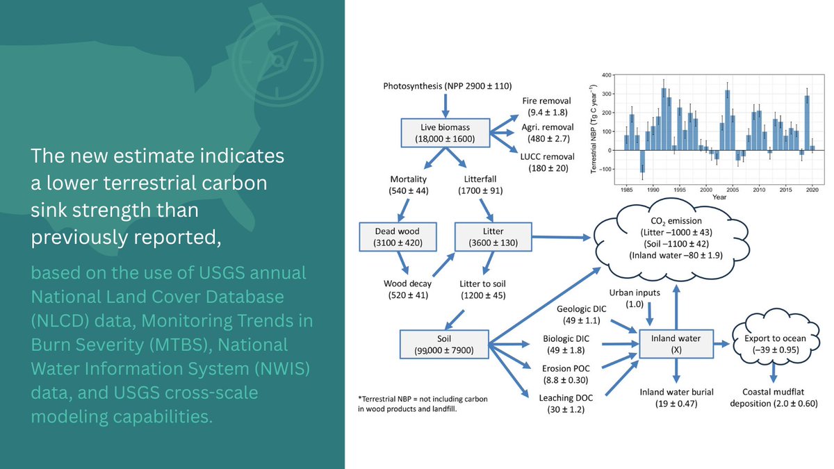
ALT This figure shows the ecosystem carbon stocks and fluxes of the conterminous U.S. from 1985 to 2020. (1) Values in the flowchart represent the 1985–2020 annual mean carbon stock or flux with uncertainty ranges (units in Tg C and Tg C/yr). The carbon stock of inland waters is unknown but assumed to be constant. NPP: net primary productivity; NBP: net biome productivity; DIC: dissolved inorganic carbon; DOC: dissolved organic carbon; POC: particulate organic carbon. (2) The inset graph shows the temporal trends of CONUS-scale terrestrial NBP, with uncertainty range (1.96 x STDEV) based on Monte Carlo simulations. A positive value indicates net carbon gain, while negative value indicates net carbon loss.
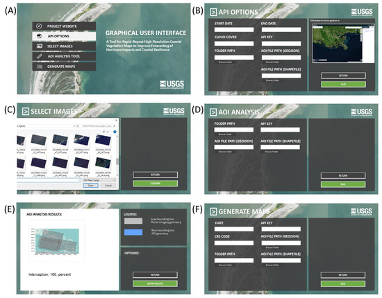
ALT The RUSH tool Graphical User Interface (GUI).
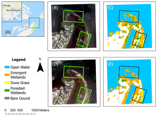
ALT Pre- and post-hurricane conditions in Grand Isle State Park, LA.
ALT A photo of USGS scientist Roy Petrakis.
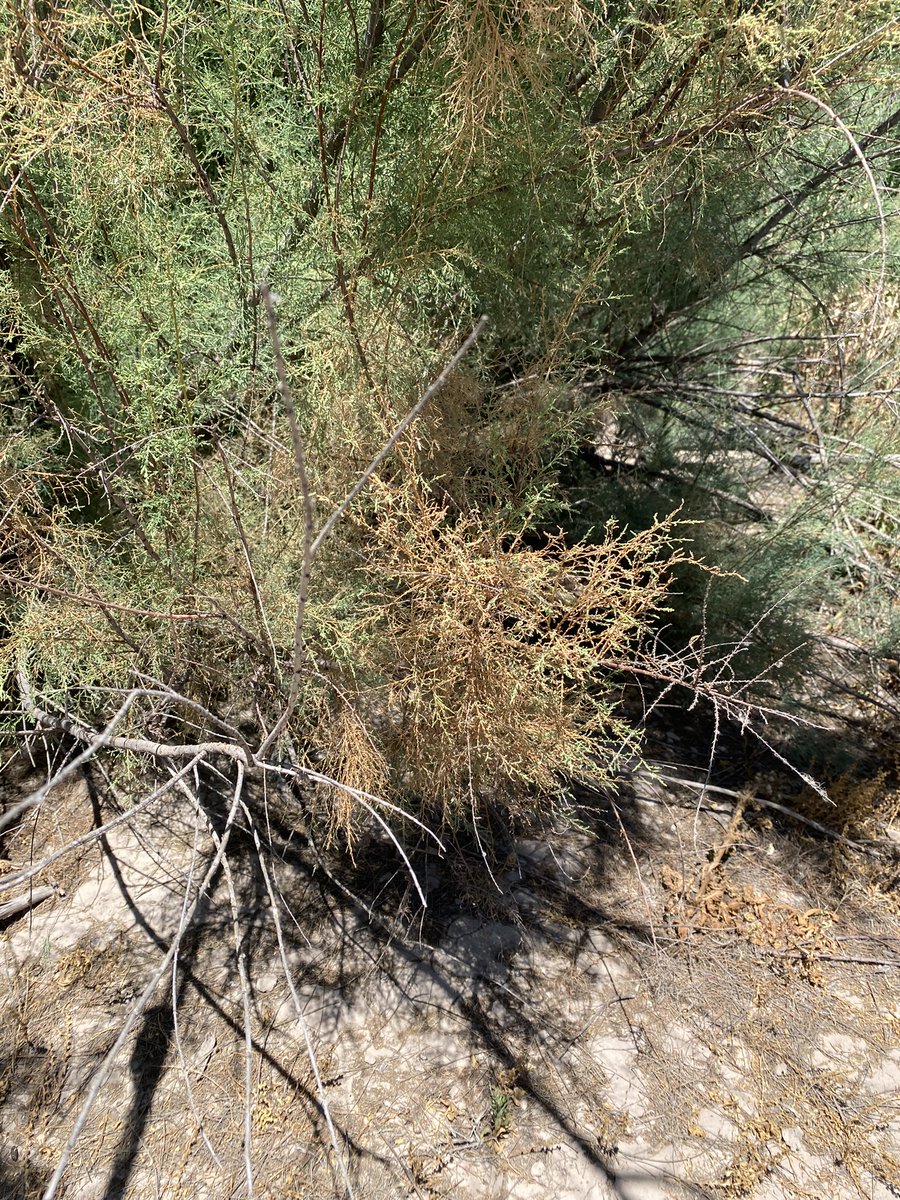
ALT A photo of some defoliated tamarisk.
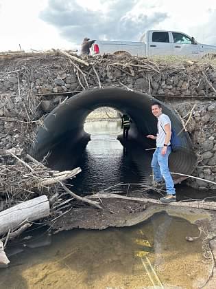
ALT Close-up of a drainage pipe.

ALT A Tamarisk beetle training session with the Tribe, June 2024.
ALT Wide view of a scenic desert canyon with a bare tree in Moab, Utah's beautiful arid landscape.
ALT USGS scientists stand next to a newly installed stream gage system in an arid land stream channel.
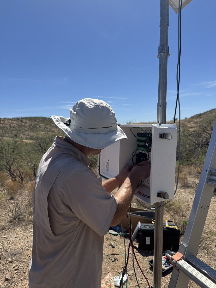
ALT USGS scientist B. Smith is connecting wires inside the electrical housing on the evapotranspiration tower.
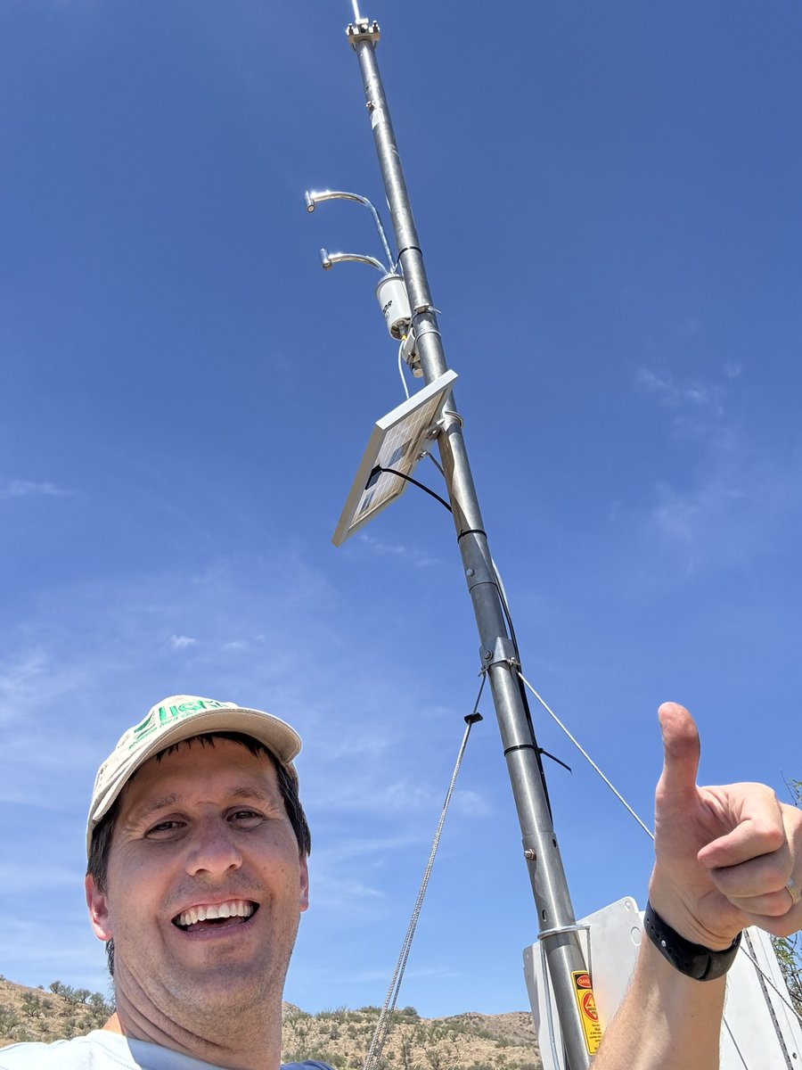
ALT USGS scientist R. Petrakis gives a thumbs up and smiles taking a selfie with the evapotranspiration tower’s solar panel and LI-710 Evapotranspiration Sensor behind him.
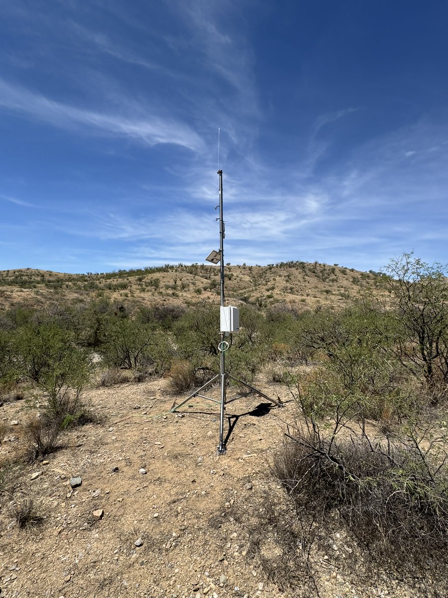
ALT The completed evapotranspiration tower, surrounded by mesquite shrubs and grassland.
