
Map Curator at University of Manchester Library. Interested in maps, art, and the great outdoors.
- Tweets 231
- Following 87
- Followers 202
- Likes 350


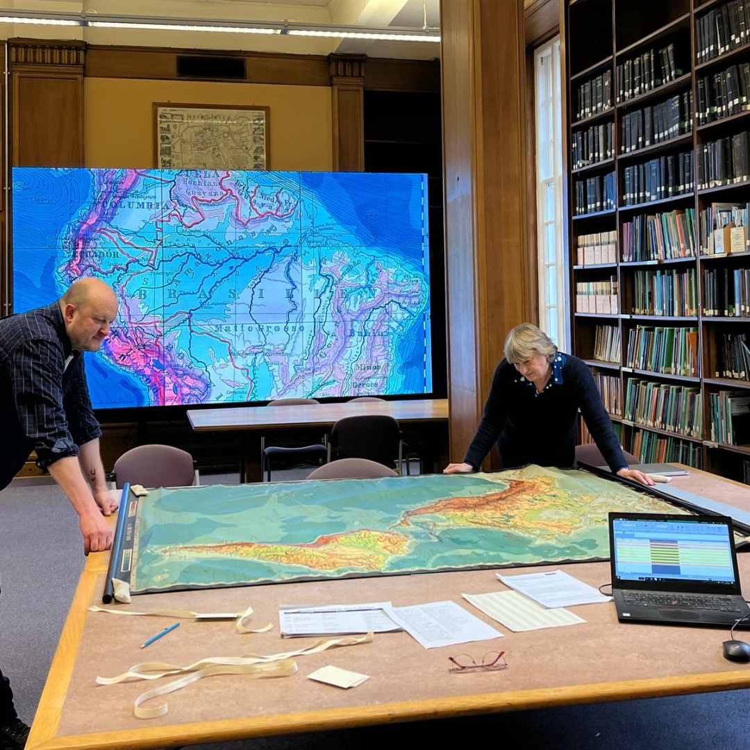
ALT Lise Hopwood and Peter Moody in the map room of the Main Library. In the foreground they are looking at a map on a large table. The map is shown on a large screen in the background.


ALT placename Jinglejoys on historic Ordnance Survey 25-inch to the mile map


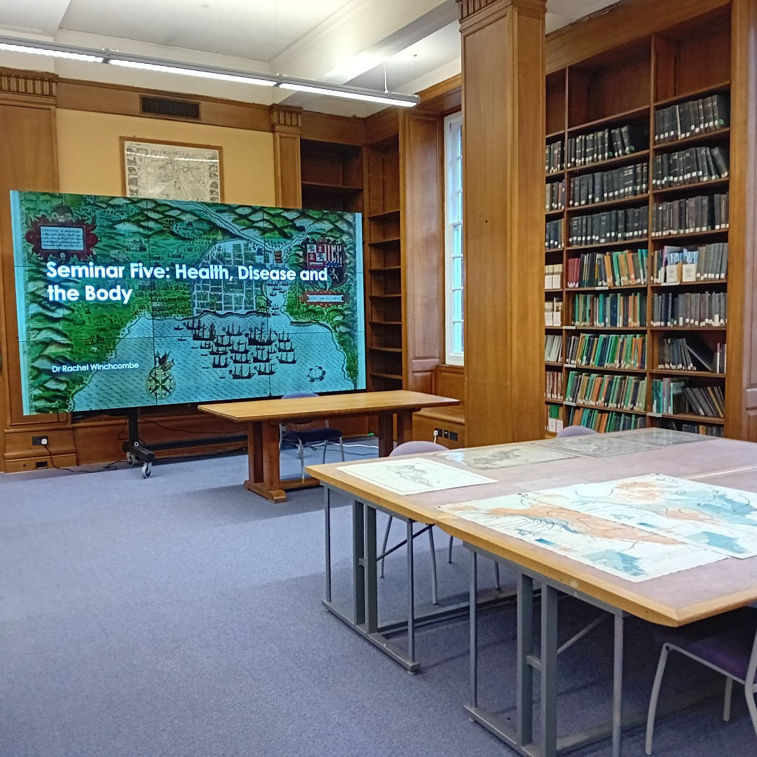
ALT Photo of map room, Main Library. Historic maps are laid out on the large table in the foreground. Shelves of folded maps in the middle distance. A large screen showing a presentation, 'Health, Disease and the Body' by Dr Rachel Winchcombe in the background.
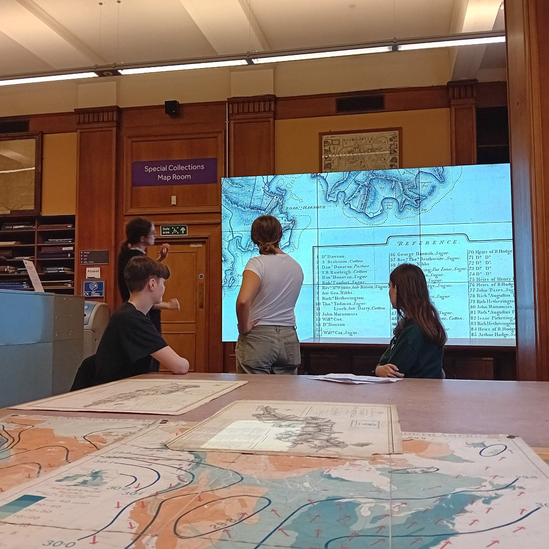
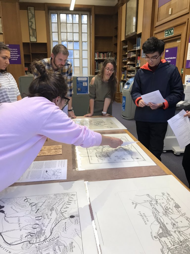
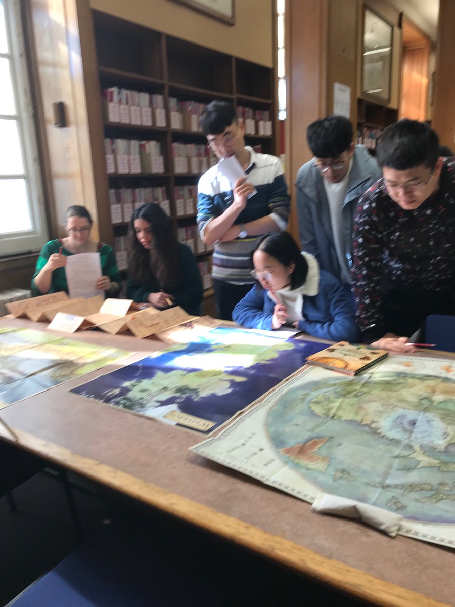
ALT Photo of map room, Main Library. Historic maps are laid out on the large table in the foreground. Four students are examining one of the maps on the large screen in the background.

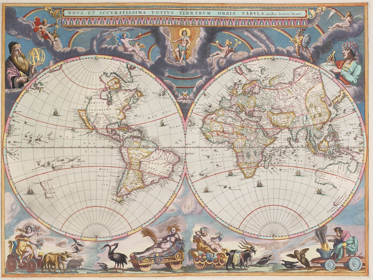
ALT Blaeu's Double Hemisphere Map, Joan Blaeu, 1662 Hand-coloured engraving on paper with representations of the four seasons along the bottom: from left to right are Spring, Summer, Autumn and Winter. Portraits of Galileo, and Tycho Brahe (Joan Blaeu's father's teacher) adorn the corners, with several Classical deities appearing on clouds in between. California is shown as an island off the west coast of North America but the outline for the western portion of Australia is very accurate.

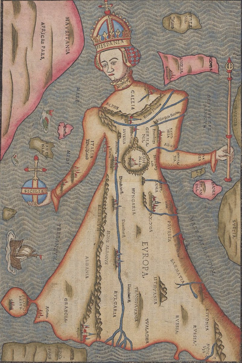
ALT Colourful illustration of a map in the shape of a standing queen wearing a crown.
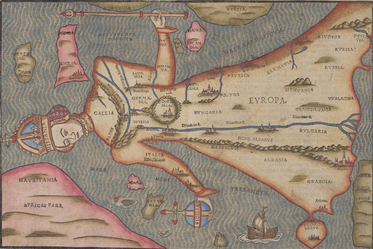
ALT Map in the shape of a queen. Rotated 90 degrees so country names are visible and shape more closely refereneces the outline of Europe.
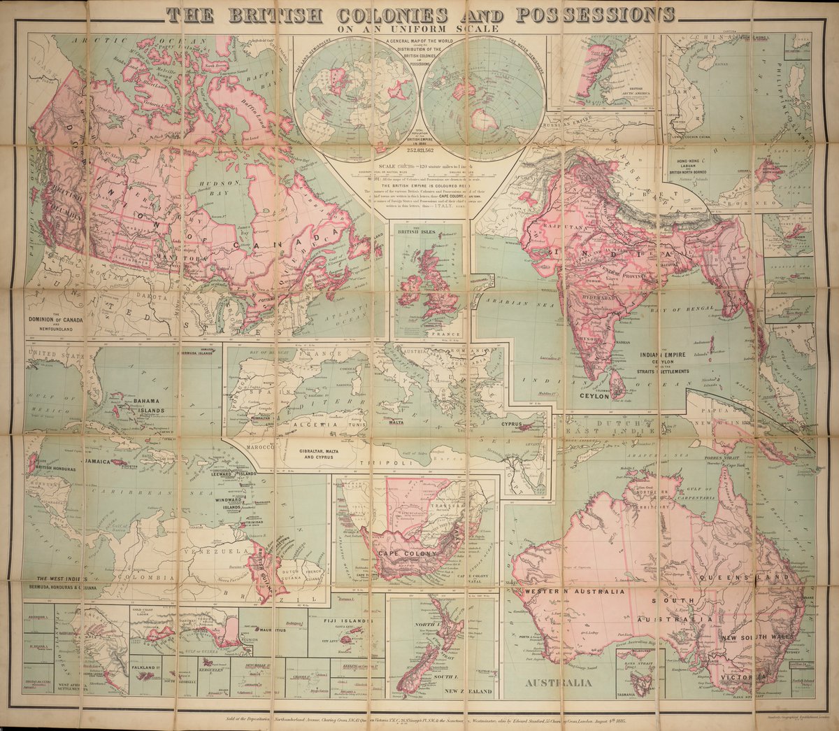
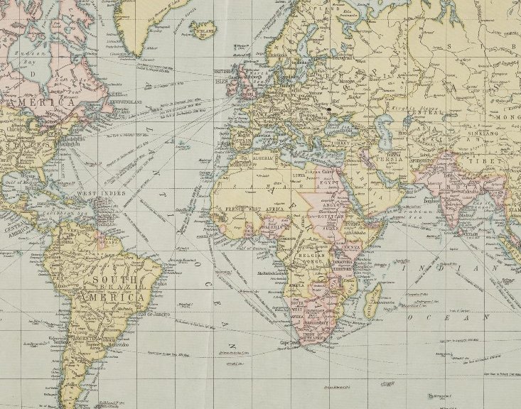
ALT A general map of the world showing the distribution of the British colonies and possessions, 1885


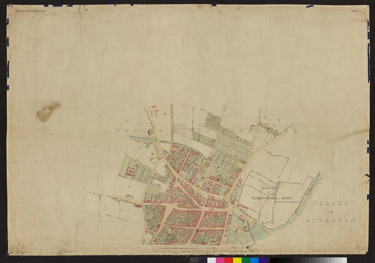
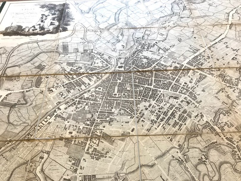
ALT A colourised street plan, taken from the Map of Stratford-upon-Avon, produced by the Ordnance Survey for the Board of Health 1851. Collection reference BRT7/9