
Tweets from the Map Room, National Library of Scotland. News, views and interesting finds for map lovers.
- Tweets 9,422
- Following 1,027
- Followers 13,903
- Likes 17,317


ALT National Library of Scotland logo

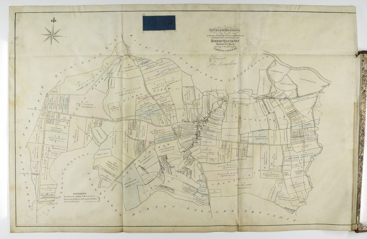
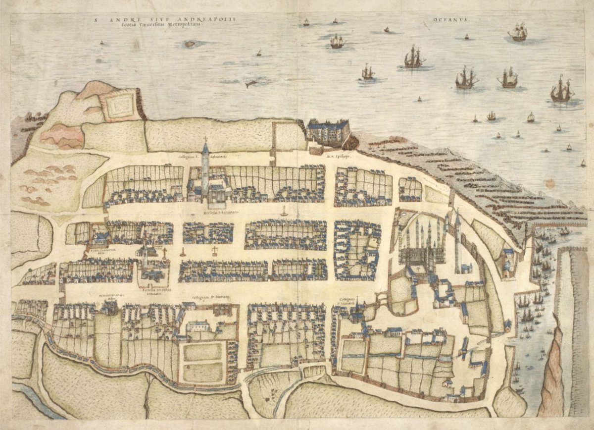
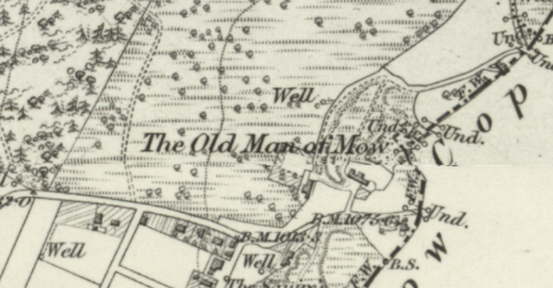
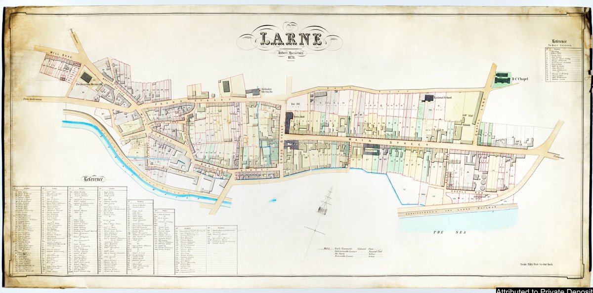
ALT Scan of historic map


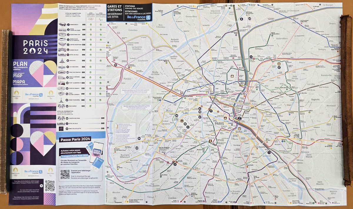
ALT A collection of colorful books arranged horizontally with one open book on an orange background.
ALT Ordnance Survey quarter inch to the mile map of the Northern Hebrides . 1923
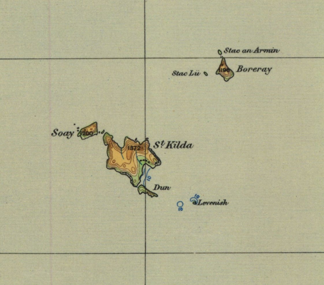
ALT detail of St Kilda from Ordnance Survey quarter inch to the mile map of the Northern Hebrides published 1923

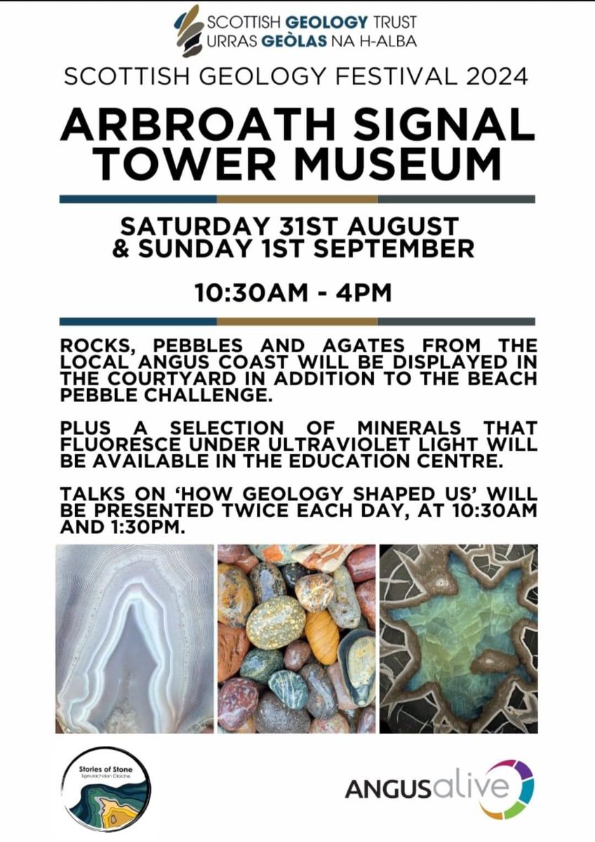
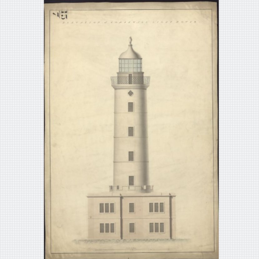
ALT Poster for the event with following text: SCOTTISH GEOLOGY FESTIVAL 2024 ARBROATH SIGNAL TOWER MUSEUM SATURDAY 31ST AUGUST & SUNDAY 1ST SEPTEMBER 10:30AM - 4PM ROCKS ANGUS COAST WILL BE DISPLAYED HE THE COURTYARD IN ADDITION TO THE BEACH PEBBLE CHALLENGE. PLUS A SELECTION OF MINERALS THAT FLUORESCE UNDER ULTRAVIOLET LIGHT WILL BE AVAILABLE IN THE EDUCATION CENTRE. TALKS ON HOW GEOLOGY SHAPED US' WILL BE PRESENTED TWICE EACH DAY, AT 10:30AM AND 1:30PM.


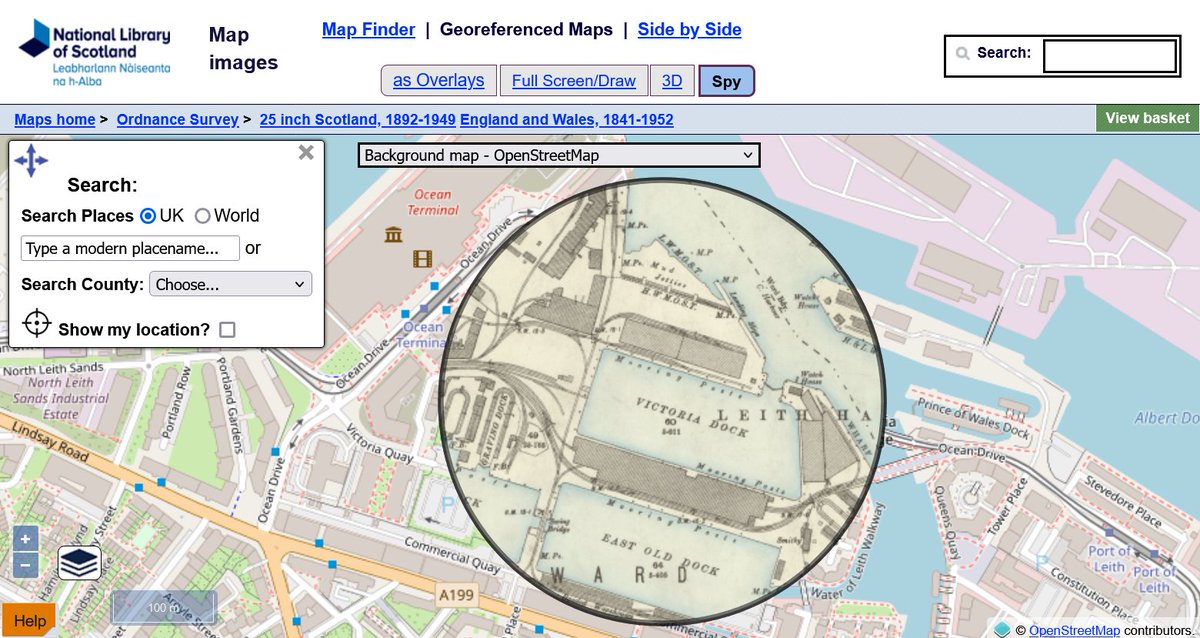
ALT screenshot from National Library of Scotland map images website demonstrating the spyglass viewer

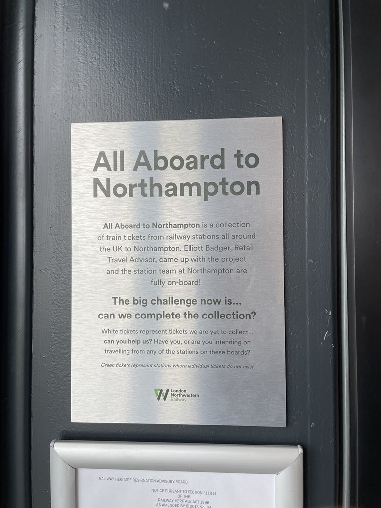
ALT A plaque that reads, “All Aboard to Northampton All Aboard to Northampton is a collection of train tickets from railway stations all around the UK to Northampton. Elliott Badger, Retail Travel Advisor, came up with the project and the station team at Northampton are fully on-board! The big challenge now is... can we complete the collection? White tickets represent tickets we are yet to collect... can you help us? Have you, or are you intending on travelling from any of the stations on these boards? Green tickets represent stations where individual tickets do not exist.”
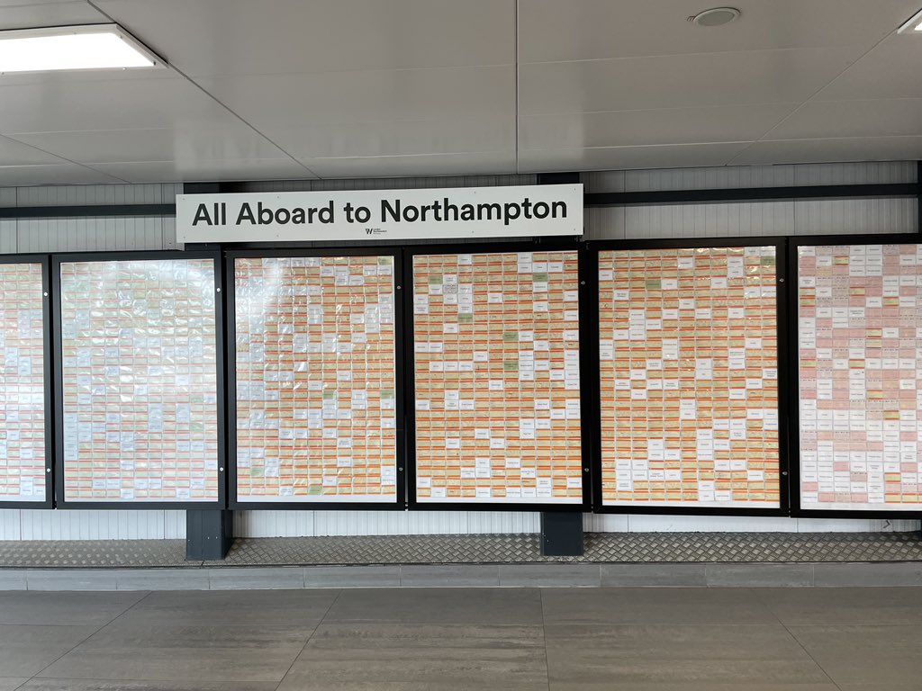
ALT A wall that says “All aboard a to Northampton” with lots of tickets in cases but spaces between them with missing tickets.

ALT A wall that says “All aboard a to Northampton” with lots of tickets in cases but spaces between them with missing tickets.
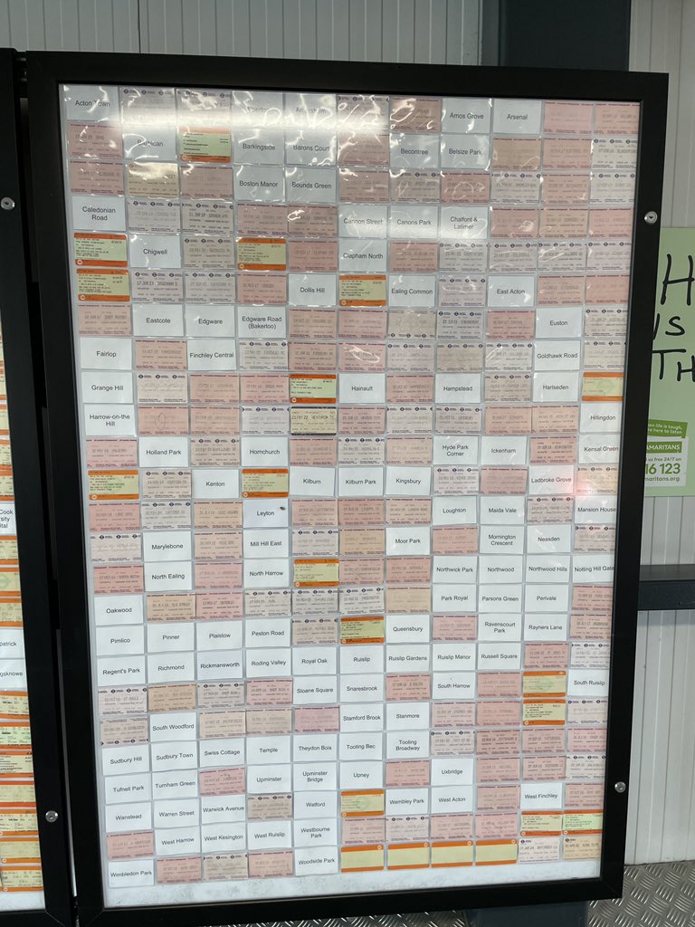
ALT The London Underground case on the board with only tube stations.

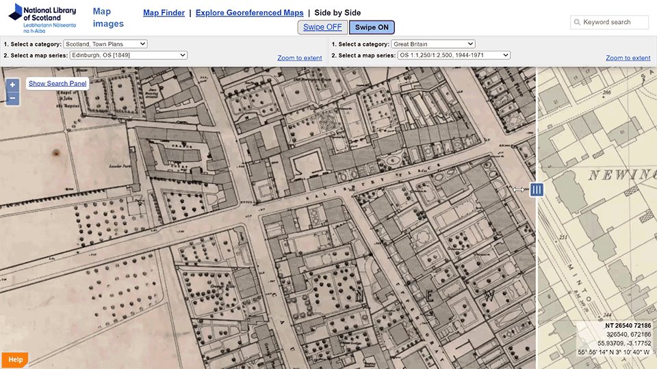
ALT screenshot of Georeferenced maps viewer from National Library of Scotland


ALT GL campaign welcomes new partners text, logos - glc, conul, national librar of scotland, rluk. Image background is of an empty office

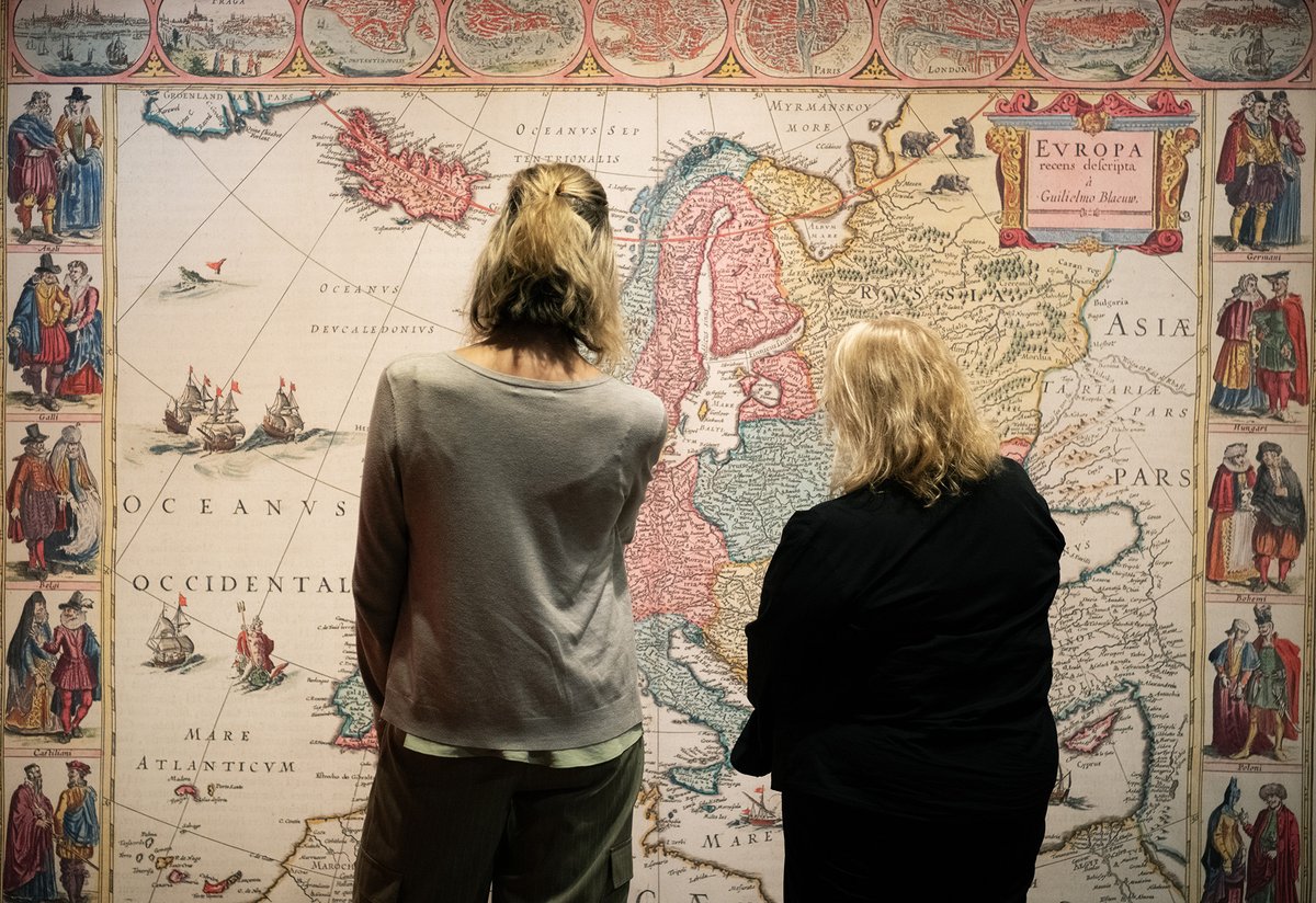
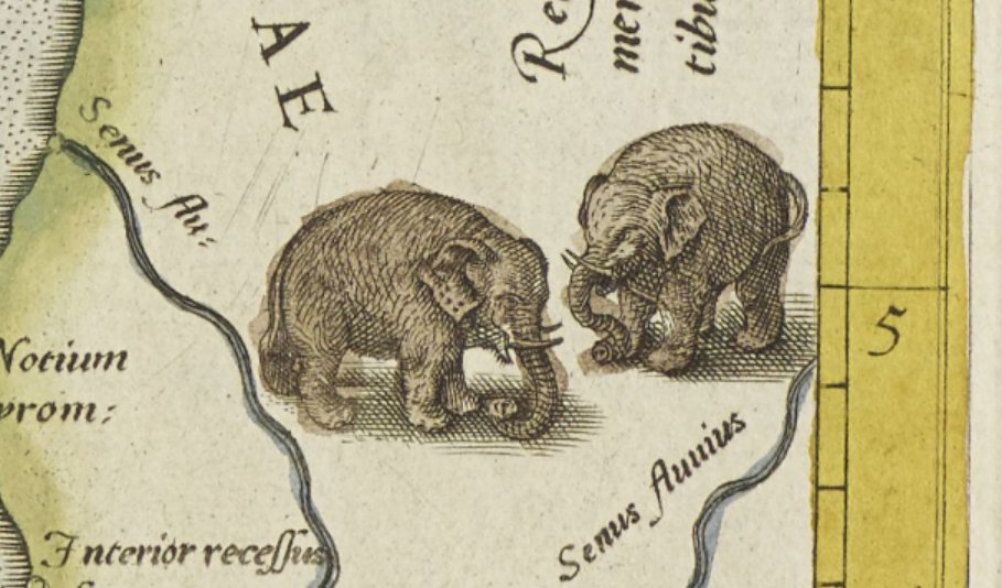
ALT Two people stand in front of a wall-sized map of Europe from the Renaissance period. They are facing away from the camera, appearing to ponder the wall.

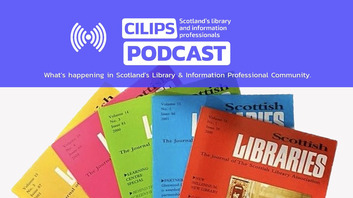
ALT CILIPS Podcast, what's happening in the library and information professional community, white text on a blue backdrop. Images of multicoloured scottish libraries magazines fanned out on the bottom of the image.

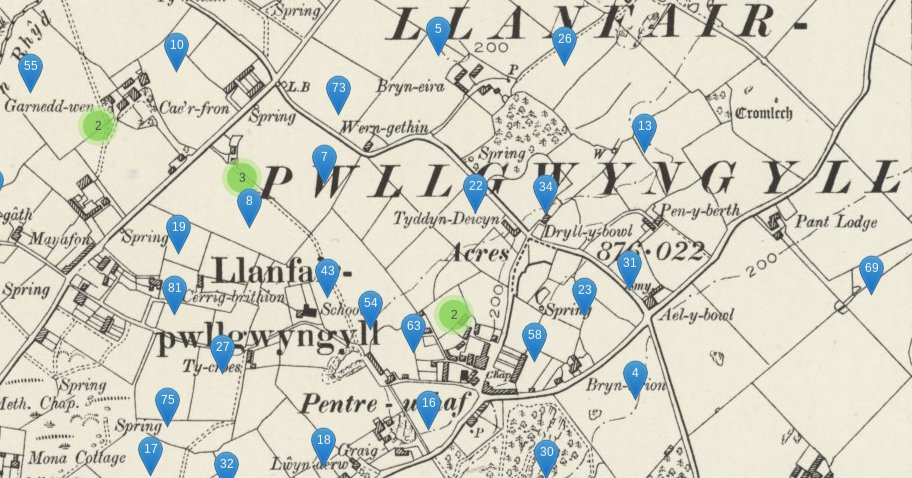
ALT Tithe Maps of Wales


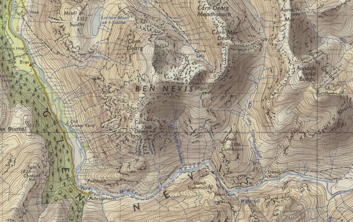
ALT Ordnance survey. Lorn and Lochaber Tourst Map A edition published 1959. Detail showing Ben Nevis.
