
229 Photos and videos


Sanjay retweeted

Mohandas lacks credibility and expertise in this. A follower not leader of trends, he is saying this too late and fought AGAINST this strategy for many years. The same could have been achieved for a fraction of the cost, but then folks like him were obsessed with filling pockets by selling cheap labor at huge personal profit.
11
40
204
5,064
Sanjay retweeted

Indian billionaires are excellent at rent seeking, gate keeping, regulatory capture, labor arbitrage, mercantile trading and motivational speeches. Innovation etc. are out of syllabus.
133
1,063
5,499
80,497
Sanjay retweeted

19h
Watch: Visal Sikka @vsikka on why India should build its own foundation AI models. @Gen_RajShukla @TVMohandasPai @svembu @PMOIndia @narendramodi @AshwiniVaishnaw @harshmadhusudan @sgurumurthy @samirsaran
9
54
220
12,674

India - the final market in 21st century
Jun 12

Kodansha to print manga in India in first for major Japan publisher s.nikkei.com/4vGjJHe
10
Sanjay retweeted

Jun 13
We have a Fable 5 in India.
It's called Panchatantra.
44
132
1,671
52,527
The same story is being used by one of the greatest anime @Eiichiro_Staff @OPcom_info .
Water level rising and what not

While Europe was under ice, someone in Ratnagiri carved a 14-metre map of India.
It's an elephant. Head west to the Konkan, tail east.
Inside it: a tiger in the east, a langur in the north, a boar in Madhya Pradesh, a pangolin in the south. Each animal where it actually lives.
Seven mountains. The Mahabharata also names seven. It was carved 10,000 years before the Mahabharata.
Now the part that should end the argument.
The map's width-to-height ratio is 1.167. Modern India is 1.04. Doesn't match.
Because they weren't mapping modern India.
Reverse-solve 1.167 against the coastline of 12,000 BCE — when the sea was 120m lower and the Sunda Shelf was dry land — and the eastern edge lands at ~100.9°E.
The eastern shore of the Malay Peninsula. The exact limit of the world you could walk to from India at the time.
A decorative outline doesn't do that. A map does.
The oldest known map is supposed to be Çatalhöyük, ~6,200 BCE. This predates it by 6,000 years.
It's on an open plateau. People play cricket near these carvings. The monsoon is erasing it.
Full paper, free, permanent:
DOI: 10.5281/zenodo.20516459
#Ratnagiri #Archaeology #History

10
X algo wont show you this side of India
Jun 13

#Repost @rewa_riyasat_
Monsoon Magic in Rewa!
Known as the land of white tigers, Rewa transforms into a lush green paradise during the monsoon. From the breathtaking heights of Purva Waterfall and Chachai Waterfall to the serene paths of Gopal Baag, Rewa looks its most beautiful when the rains arrive.
This monsoon, let the heart of Madhya Pradesh captivate your soul.
13
It's something you didn't learn in school.
100 MILLION Hindus Indians were killed in just 40 years by britsh European

Here's something you probably didn't learn in school.
It's estimated that around 2 to 5 MILLION Europeans were captured as slaves by the Ottomans.
White women were captured and taken into harems and r*ped.
Yet you never hear anything about this horrific slave trade.
Why?
21
hollywood wont show you this.
Jun 13

International media won’t show you this, but the quick response from Kullu administration, local rescuers, IAF and PGI doctors helped save Deadpool & Wolverine cinematographer George Richmond after a serious paragliding accident in Himachal Pradesh.
Richmond suffered multiple fractures after crashing in a remote area near Kullu. He was rescued, airlifted by the IAF and given timely treatment at PGI Chandigarh.

20
日本の皆さんへ 🇯🇵
これが、世界が皆さんに見せたくないインド 🇮🇳 の姿です。
Jun 12

This is the India, that the world doesn't want you to see
Reposts so the world sees !
7
Dear Europe 🇪🇺,
This is India 🇮🇳 that the world doesn’t want you to see.
Jun 12
This is the India, that the world doesn't want you to see
Reposts so the world sees !
6
this is the reason no Elon Musk will be born out of India.
if we keep this mentality
Jun 12

I think this should be the tax system for rich people.
Mukesh Ambani: 70%
Gautam Adani: 70%
Savitri Jindal: 65%
Shiv Nadar: 65%
Dilip Shanghvi: 65%
Cyrus Poonawalla: 65%
Kumar Mangalam Birla: 60%
Lakshmi Mittal: 60%
Radhakishan Damani: 55%
Sunil Bharti Mittal: 55%
Azim Premji: 50%
Nandan Nilekani: 50%
Harsh Mariwala: 50%
Kiran Mazumdar-Shaw: 50%
The richer people are, the more tax they should pay because they have a much greater ability to contribute without affecting their quality of life. They benefit significantly from public infrastructure, legal systems, educated workers, and economic opportunities that help create and protect their wealth.
1
28
Jun 11

The Modi government @narendramodi has repeatedly failed to protect the lives of Indians who are working as sailors and operating in international waters. This is the very first duty of the Indian government. It is sad and distressing that the prime minister has time for celebrations but not for condemning the US military for killing Indians.
1
1
85
blackpilling male and female accounts wont understand this

1
1
5
482
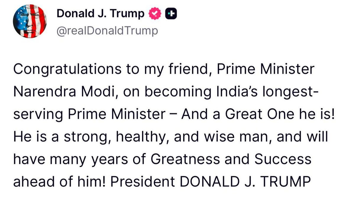
The fact that Elon Musk bought Twitter for $44 billion, so that USA great President wish him in his own Social Media and that post being used here by the Prime Minister of India.
Tells you a lot about this Social Media.
Jun 10

Thank you, President Trump, for your warm wishes.
I look forward to working with you to further advance the India-US Comprehensive Global Strategic Partnership, for the benefit of both our nations and the world.
@POTUS
@realDonaldTrump
531

8
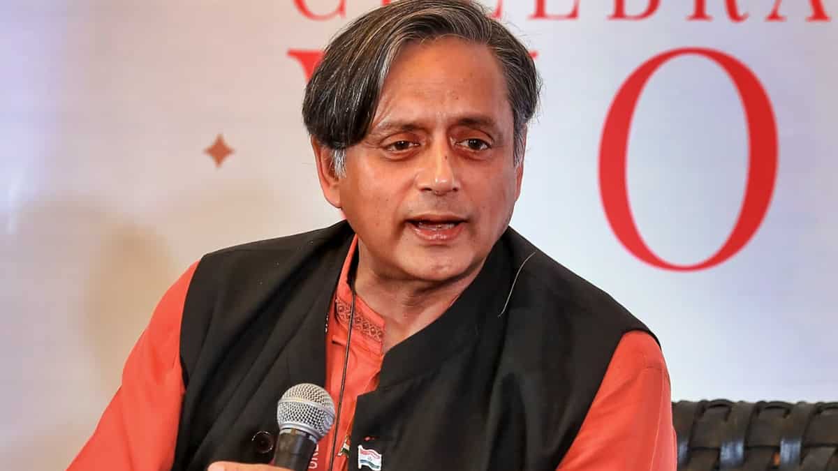
lets not pretend why one type of tourists go to thai or other south east asian countries

🚨Bangkok gets more tourists in one month than the whole of India gets in one year. Thailand is much cheaper to visit than India, which is ironic since Thailand's per capita income is higher than India's: Shashi Tharoor
20
Shri @narendramodi ji, Great work for the last 30 years and being the longest running PM in Indian current history.
Please reply.
7