


ALT The Supernova engagement programme by e-GEOS headed to the Thales Alenia Space Assembly, Integration and Testing (AIT) Centre in Rome

ALT The Supernova engagement programme by e-GEOS headed to the Thales Alenia Space Assembly, Integration and Testing (AIT) Centre in Rome
ALT New EARSC Board of Directors' election
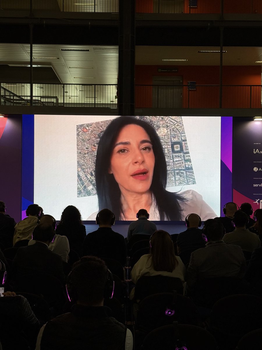
ALT Gabriele Murchio, Product Manager Digital Twin Solutions / Reality Mapping at e-GEOS, part of Leonardo Space, joined the Esri Italia Conference 2026
ALT Copernicus SESA Technical Workshop
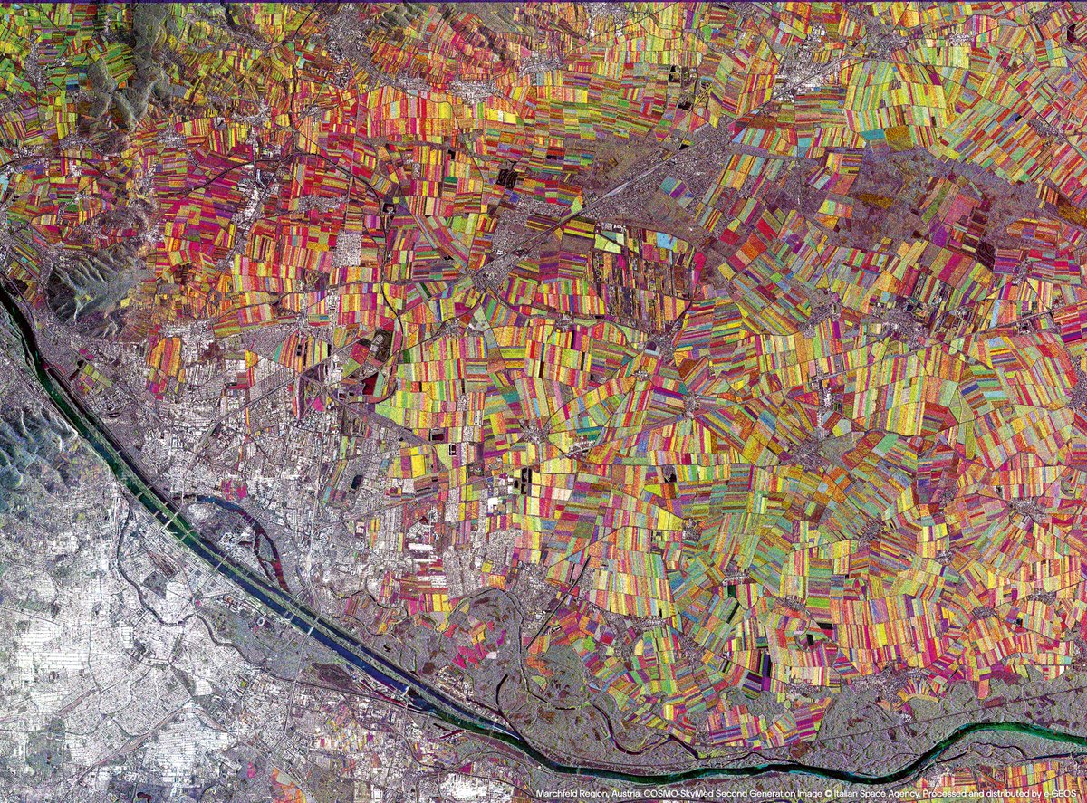
ALT Marchfeld Region, Austria. COSMO-SkyMed Second Generation Image © Italian Space Agency. Processed and distributed by e-GEOS
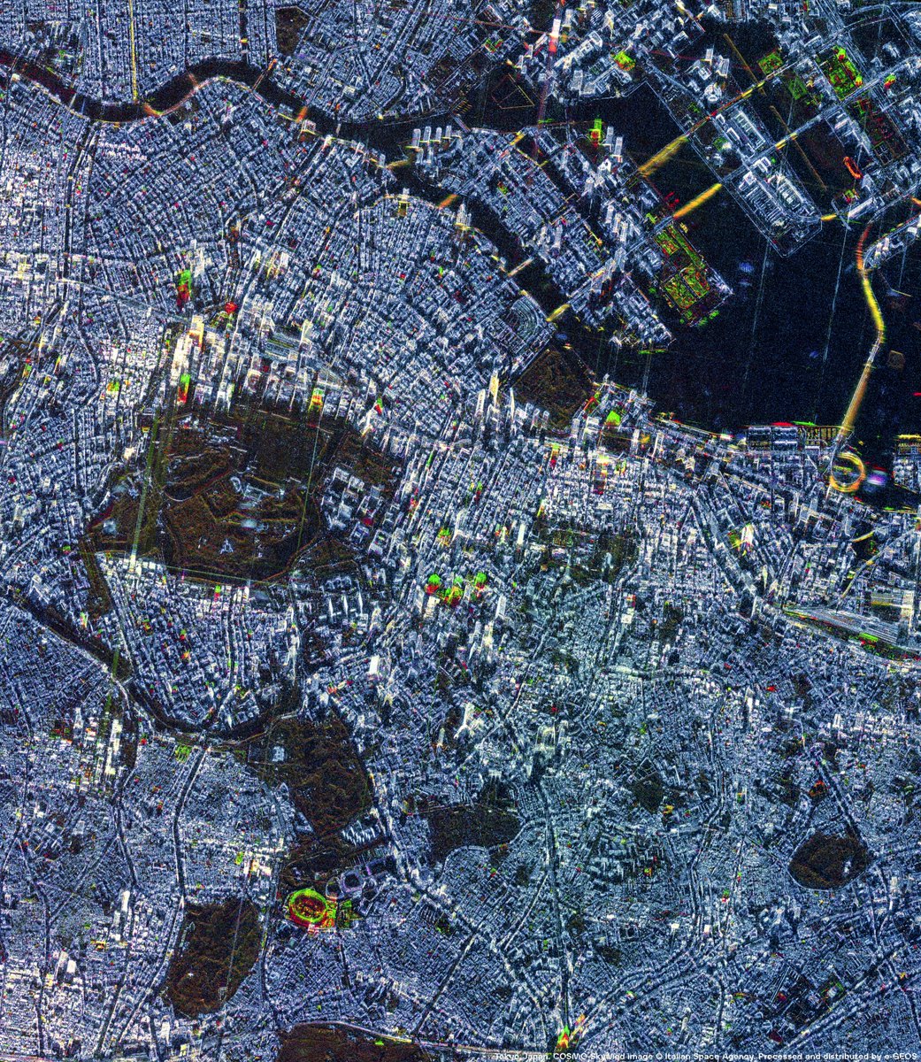
ALT Tokyo, Japan. COSMO-SkyMed image © Italian Space Agency. Processed and distributed by e-GEOS.

ALT Rome, Italy. StriX image © Synspective Inc.
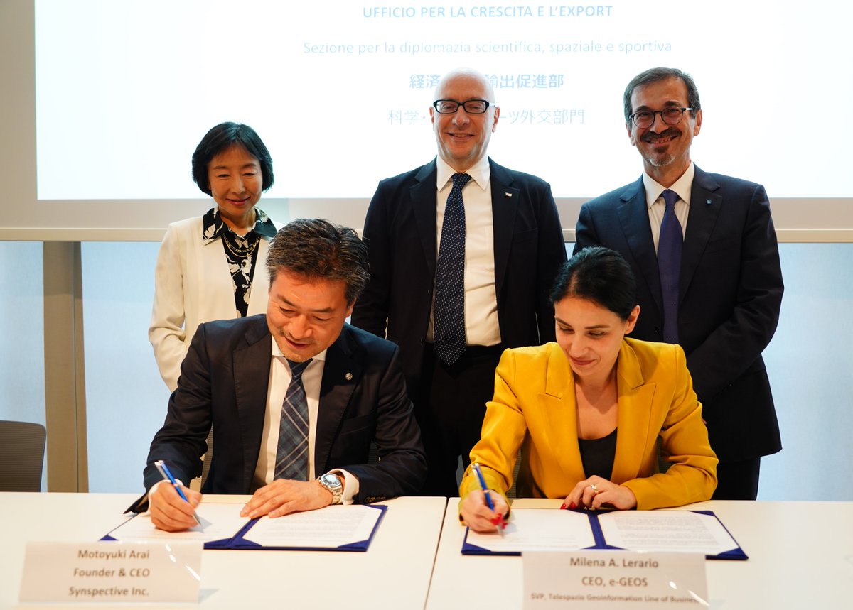
ALT Signing ceremony of the strategic partnership agreement between e-GEOS and Synspective at the Embassy of Italy in Tokyo. Pictured: H.E. Mario Andrea Vattani, Ambassador of Italy to Japan; H.E. Hikariko Ono, Ambassador of Japan to Italy; Milena A. Lerario, CEO of e-GEOS; Motoyuki Arai, Founder and CEO of Synspective; and Marco Brancati, SVP, Technology, Innovation & Systems Architecture of Leonardo Space.


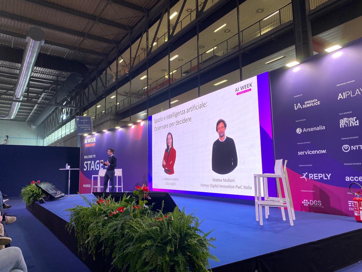
ALT AI Week 2026 - e-GEOS and PwC Italy Session photos
ALT AI Week 2026 - e-GEOS and PwC Italy Session photos
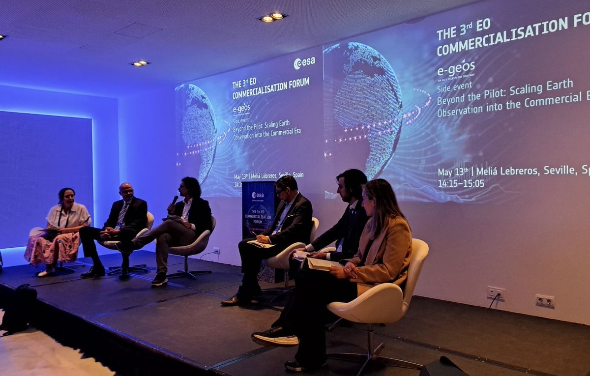
ALT e-GEOS side event in Seville as part of the 3rd EO Commercialisation Forum
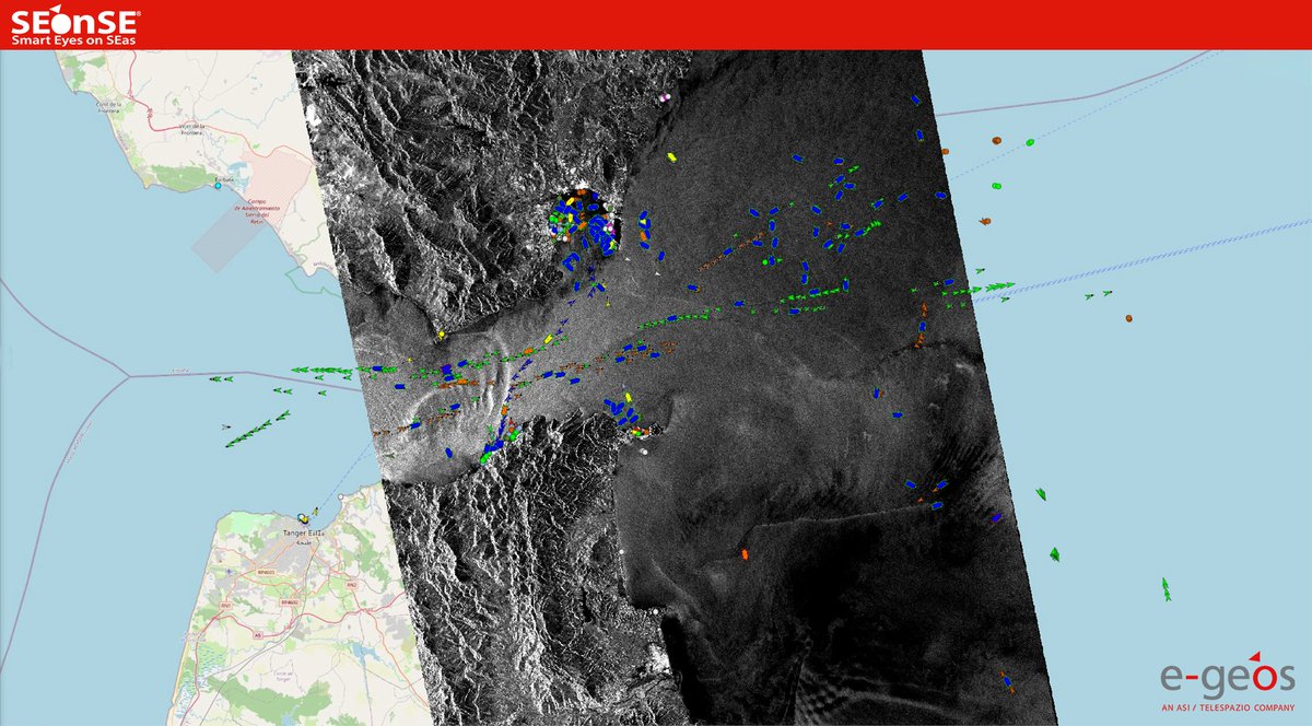
ALT One of the Sentinel-1D data used for the validation of the AIS payload onboard the satellite, acquired on 18th January 2026 over the Strait of Gibraltar
ALT e-GEOS side event in Seville as part of the 3rd EO Commercialisation Forum
ALT e-GEOS side event in Seville as part of the 3rd EO Commercialisation Forum
ALT Convegno “Tecnologia dallo Spazio per proteggere e sorvegliare: la missione duale COSMO-SkyMed” - Sessione Alessandro Flamini e-GEOS
ALT Doñana National Park, Spain. COSMO-SkyMed Image © Italian Space Agency. Processed and distributed by e-GEOS
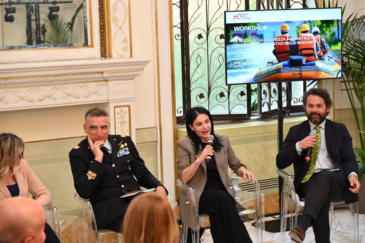
ALT Milena Lerario at the workshop “The Challenge of Environmental Security and Climate Change in the Euro-Mediterranean Region”, hosted by Med-Or Italian Foundation
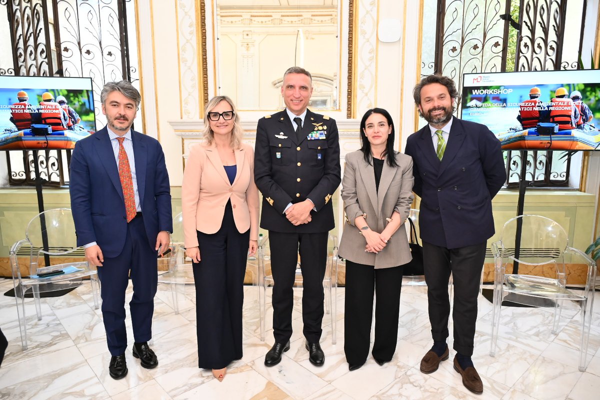
ALT Milena Lerario at the workshop “The Challenge of Environmental Security and Climate Change in the Euro-Mediterranean Region”, hosted by Med-Or Italian Foundation
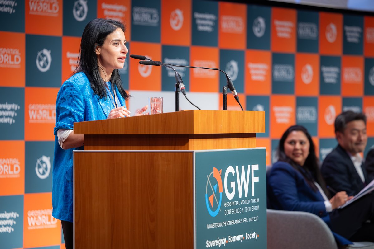
ALT C. Milena A. Lerario, CEO of e-GEOS, at Geospatial World Forum 2026
ALT C. Milena A. Lerario, CEO of e-GEOS, at Geospatial World Forum 2026
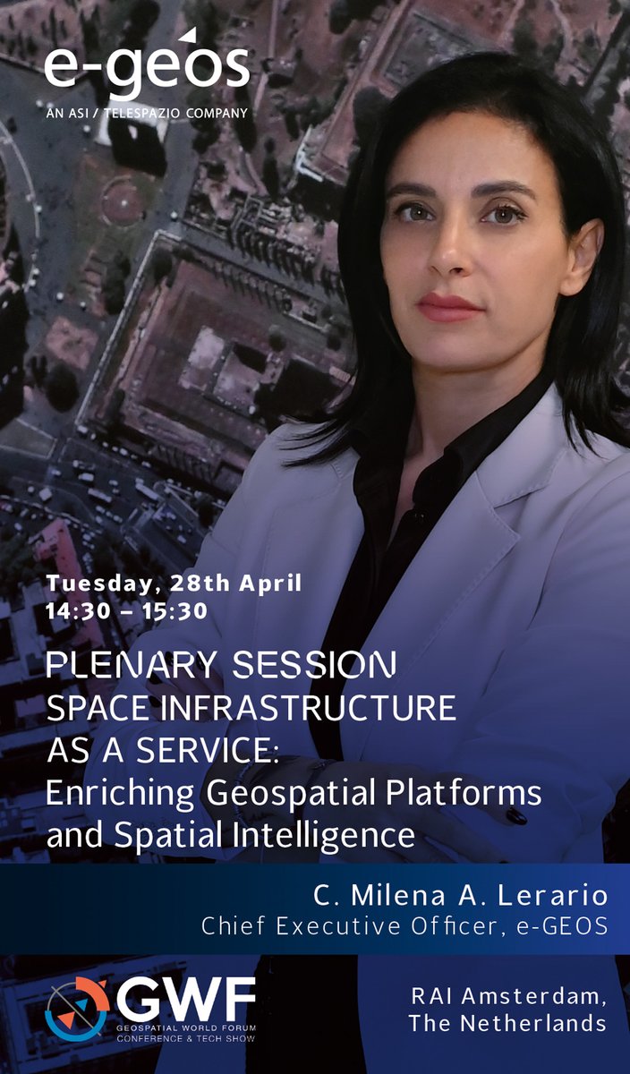
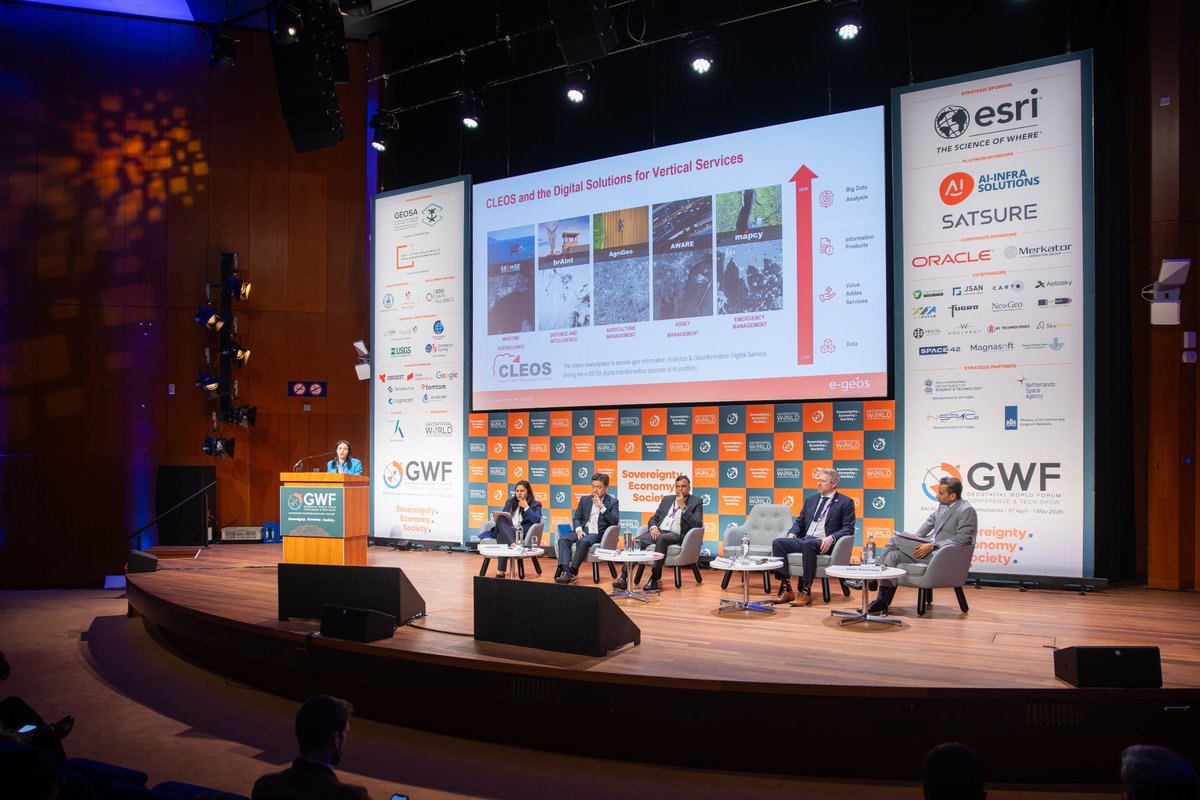
ALT Session “Space Infrastructure as a Service: Enriching Geospatial Platforms and Spatial Intelligence” at Geospatial World Forum 2026 - Milena Lerario