
EOSDA is an AI-powered satellite intelligence provider that transforms raw multi-sensor data into trusted outcomes.
Joined November 2015
- Tweets 2,429
- Following 444
- Followers 2,645
- Likes 1,276
1,416 Photos and videos


Jun 12
Technology is now essential for agribusiness development — especially when it comes to monitoring large areas of land efficiently.
✉️ Book a meeting with our team at Agro Ukraine Week to learn more about how our solutions can help protect your yields: sales@eosda.com
55
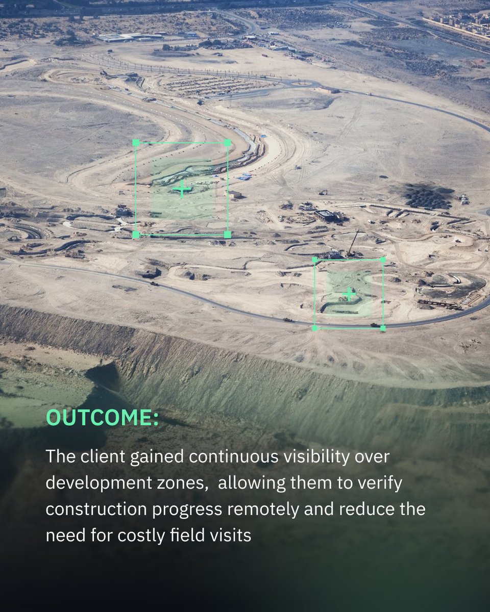
A local industrial development authority in the UAE was struggling to stay up to date across its sites using periodic ground inspections. We built a satellite monitoring workflow that gave them a plot-level view of active development areas.
Read more: eos.com/blog/eosda-tracks-co…


1
186
May 29
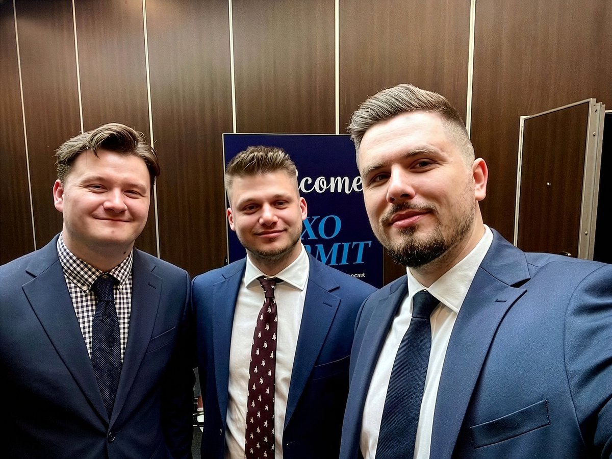
#SmallSat Europe is over! Sharing a few final moments from the conference with Artem Berehovyi, CBDO at EOSDA, and our colleagues from @dragonfly_space 🛰️
#EarthObservation #SpaceTech #SatelliteData
1
229
May 27
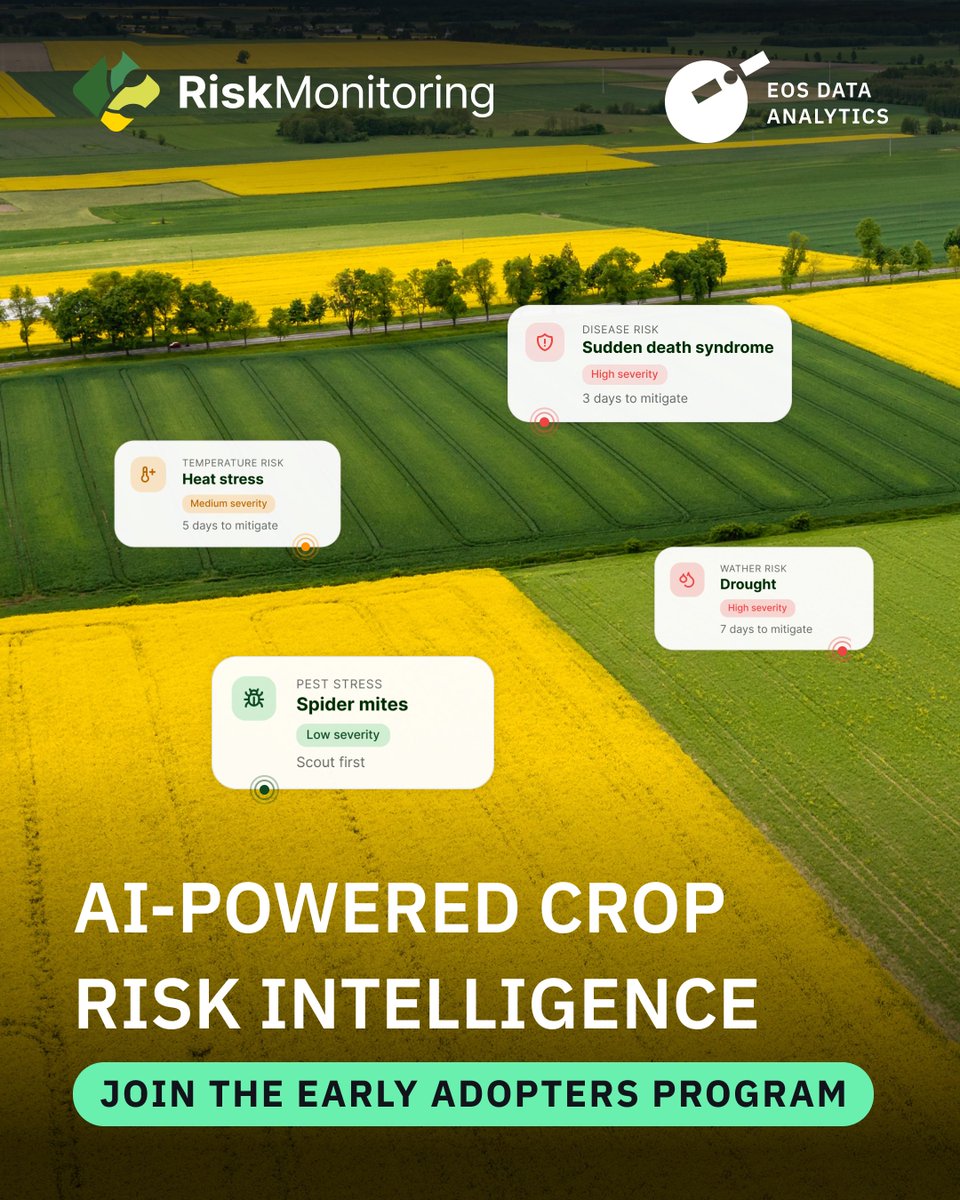
We’re launching a Risk Monitoring platform to help you detect field risks early, before they become losses.
Be among the first to try the platform: risk-monitoring.eos.com
#DigitalFarming #AgTech
2
175
May 25
Introducing Crop Yield Intelligence — a platform that turns raw data into clear insights for your fields.
🔗 Learn more about our solutions for agriculture and land use management:eos.com/industries/agricultu…
#AgTwitter #DigitalFarming #AgTech
2
211
May 22
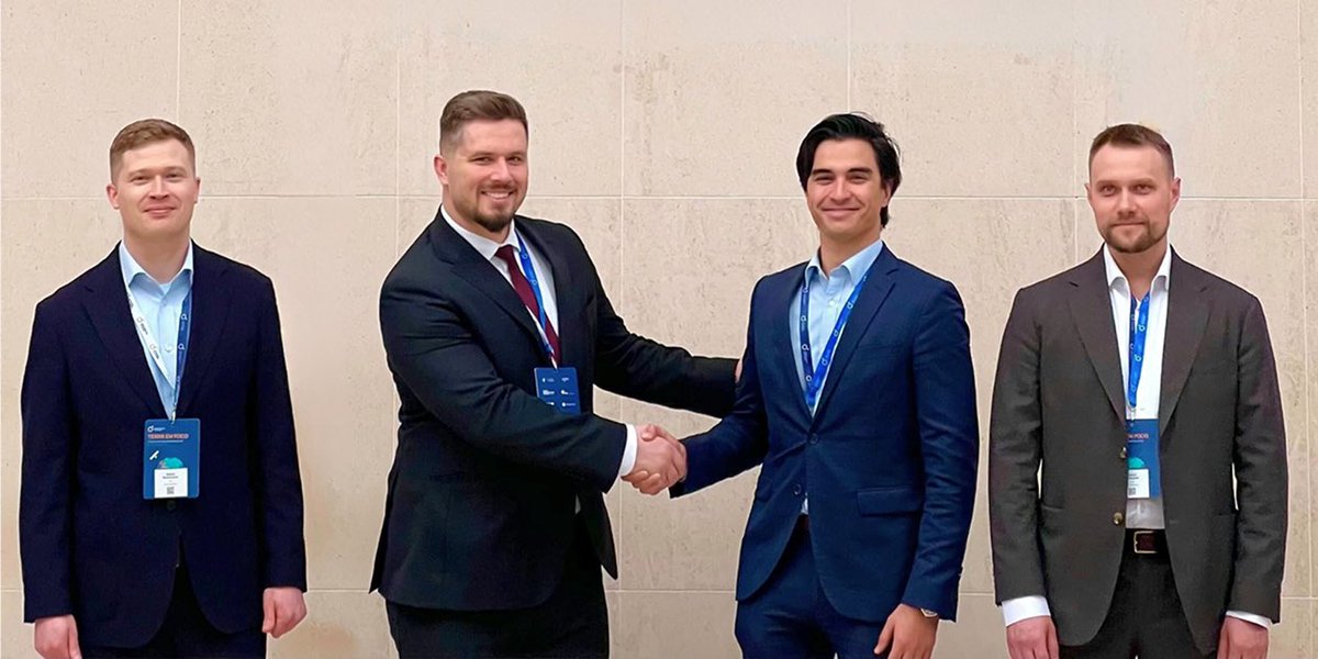
EOSDA and @dragonfly_space will jointly present optical and SAR payloads to the market at SmallSat Europe 2026 in Amsterdam.
If you want to discuss partnership opportunities, book a meeting with Artem Berehovyi, CBDO at EOSDA: sales@eosda.com.
@SatNewsEvents @SpaceNews_Inc
3
145
May 13
Satellite data is no longer a niche capability — it's becoming part of how industries operate at scale.
Our team shared their key takeaways from the Geospatial World Forum. Read them on our blog: eos.com/events/gwf-2026-movi…

3
198
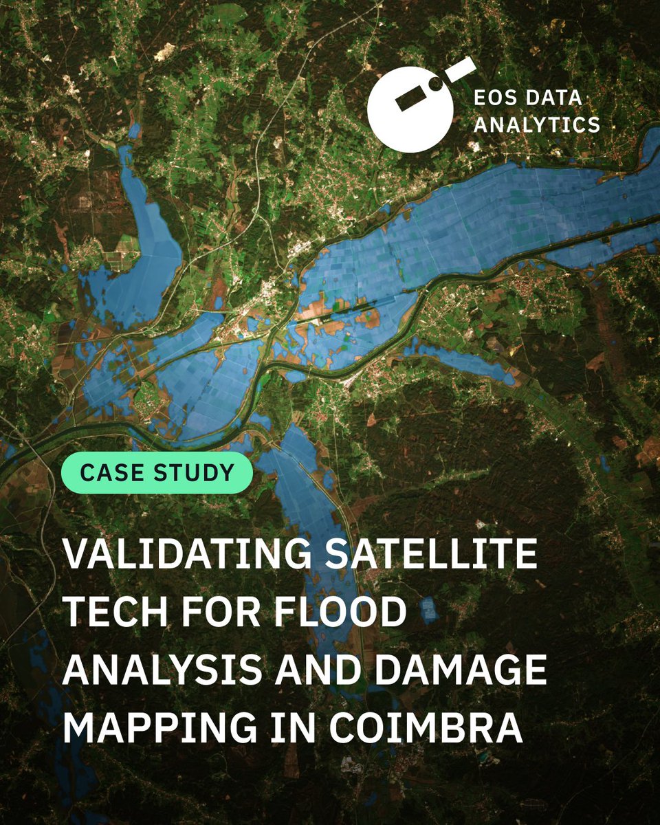
How can satellite data help assess flood damage?
In our new case study, we used SAR and optical imagery to analyze the #Coimbra floods from the #Mondego River overflow to specific building damage.
🔗 Read the full case study eos.com/blog/validating-sate…
#portugal
2
252
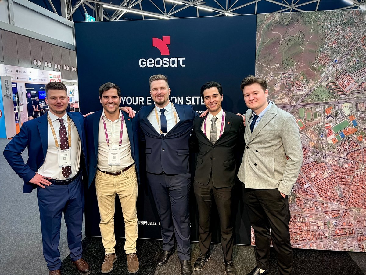
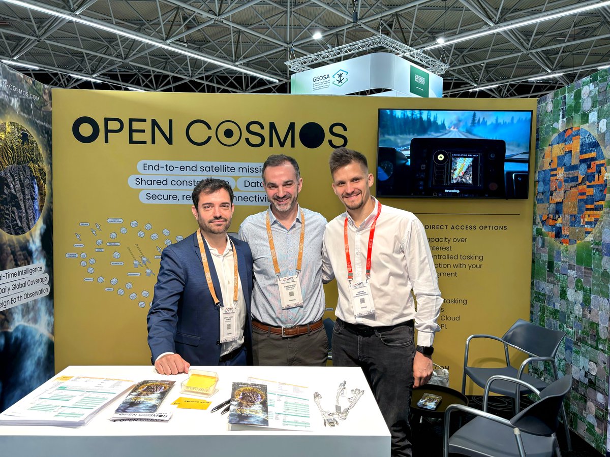
We attended Geospatial World Forum 2026! Five days of networking, partner meetings, and insightful sessions with experts in satellite and geospatial technology went by quickly.
Here are a few moments we’re glad to share 🛰️
@geospatialworld #gwf26
1
185
EOS Data Analytics is among the technology providers featured in the @EU_Commission “Study on the automatic delineation of parcels,” prepared by @PwC.
🔗 Explore the case study: op.europa.eu/en/publication-…
3
192
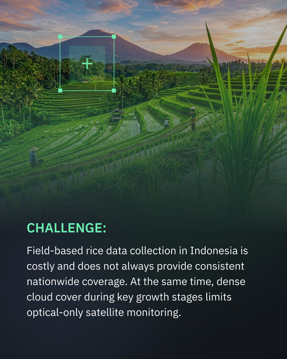
🇮🇩 Rice monitoring in #Indonesia is often limited by cloud cover and gaps in field data. We combine #SAR and optical data to ensure consistent rice field detection across the season.
➡️ Swipe to see how it works and read more: bit.ly/4dGulAl


4
412
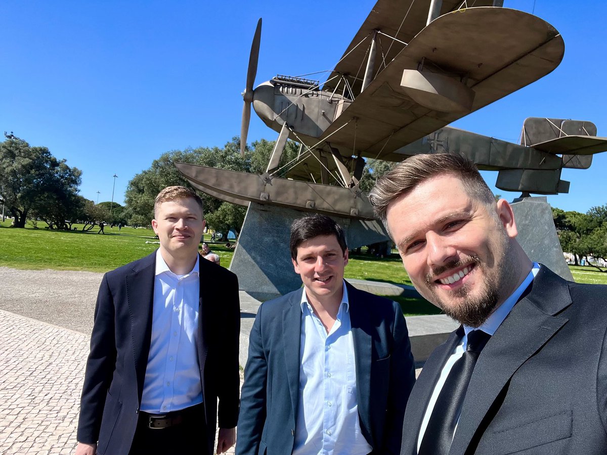
The use of satellite data for real-world decision-making is accelerating. Our team attended the Terra em Foco conference in Coimbra. Our wildfire project under ESA #InCubed uses #EOSSAT1 data to assess risks and support recovery. Thanks @portugalspace
bit.ly/47NKbFs
1
5
266
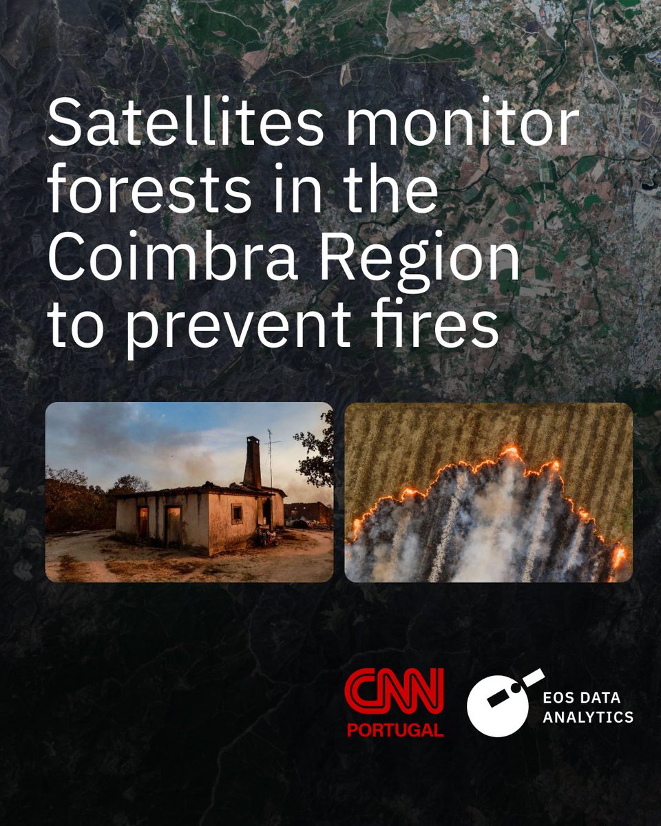
Satellite technology can support Portugal in addressing climate change impacts, especially during wildfire seasons. In the Coimbra Region, we turn data into tools for risk assessment, prevention, and recovery. Thank you, @cnnportugal, for covering this: bit.ly/4bOiA9A
3
184
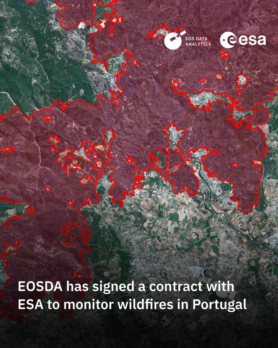
EOSDA joins @ESA_EO #InCubed to tackle wildfires in Portugal. Now we’re deploying satellite monitoring using #EOSSAT1 data to map risks, track damage, support recovery. Implemented together with @portugalspace and CIM Região de Coimbra. Thank you!
More: bit.ly/4sOpv8O
2
10
406
Feb 11
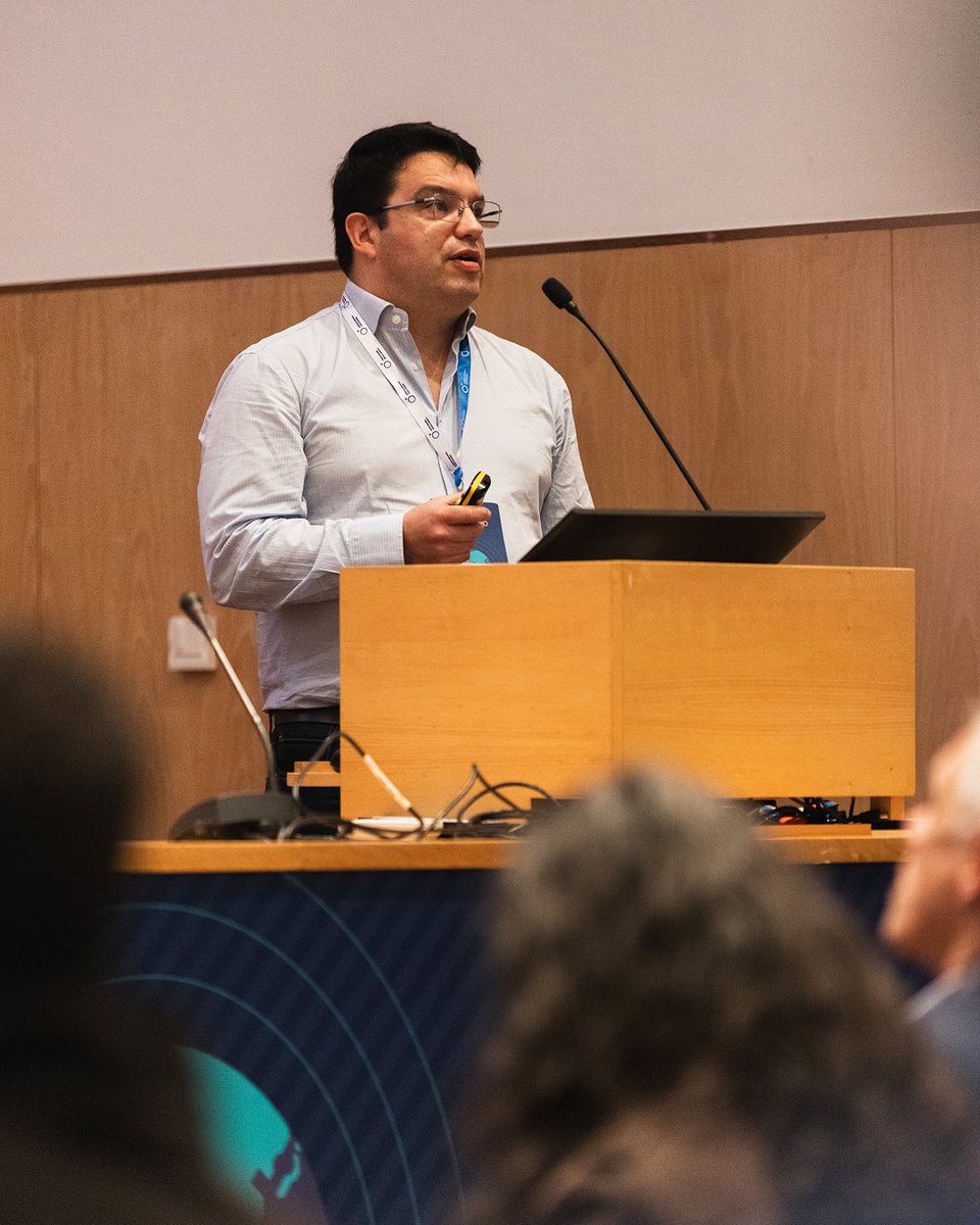
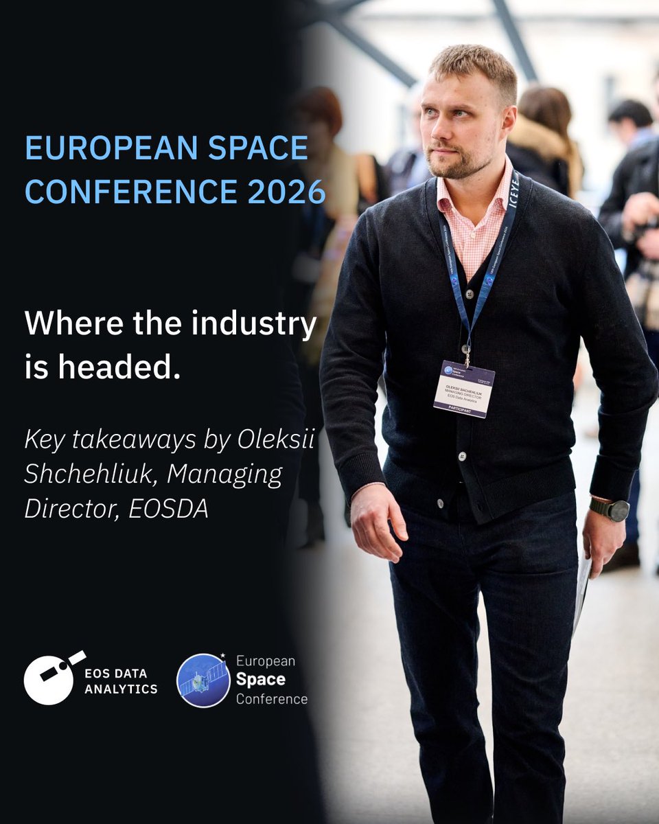
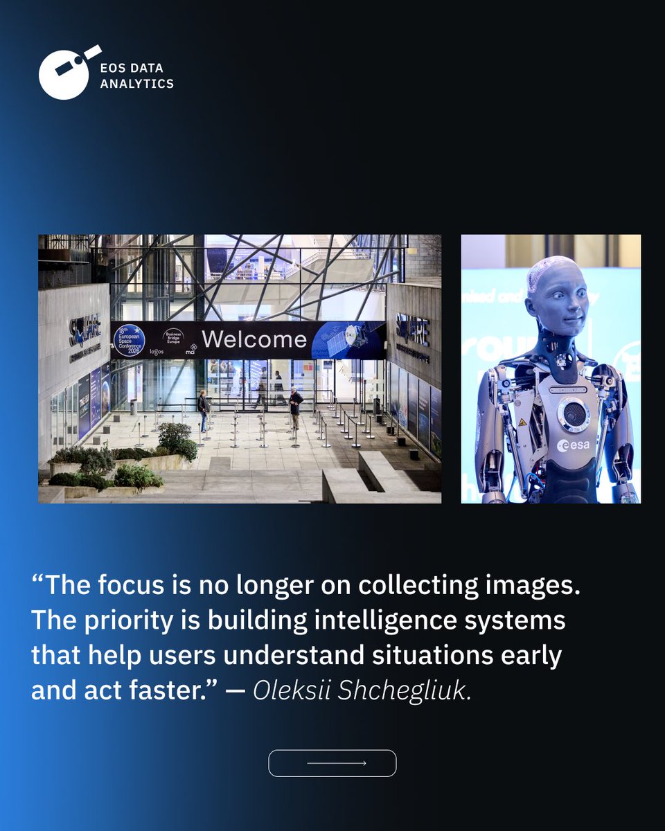
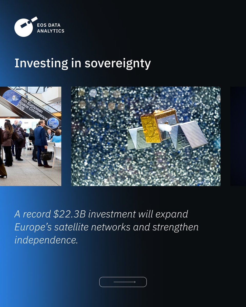
How is a record $22.3B budget reshaping European space?
EOSDA’s Managing Director Oleksii Shchegliuk breaks down the top insights from the 18th European Space Conference — from AI-driven intelligence to industry consolidation: eos.com/events/european-spac…

1
4
868
EOS Data Analytics retweeted

15 Dec 2025
🔔Jingle bells, jingle bells, jingle all the way to unlimited satellite imagery! Yes, we just made satellite monitoring festive. Someone had to 💪
15% off a Monthly subscription or 2 free months with an Annual subscription. Valid until January 4: bit.ly/EOSDALandViewer

2
1
3
1,364
EOS Data Analytics retweeted
5 Dec 2025
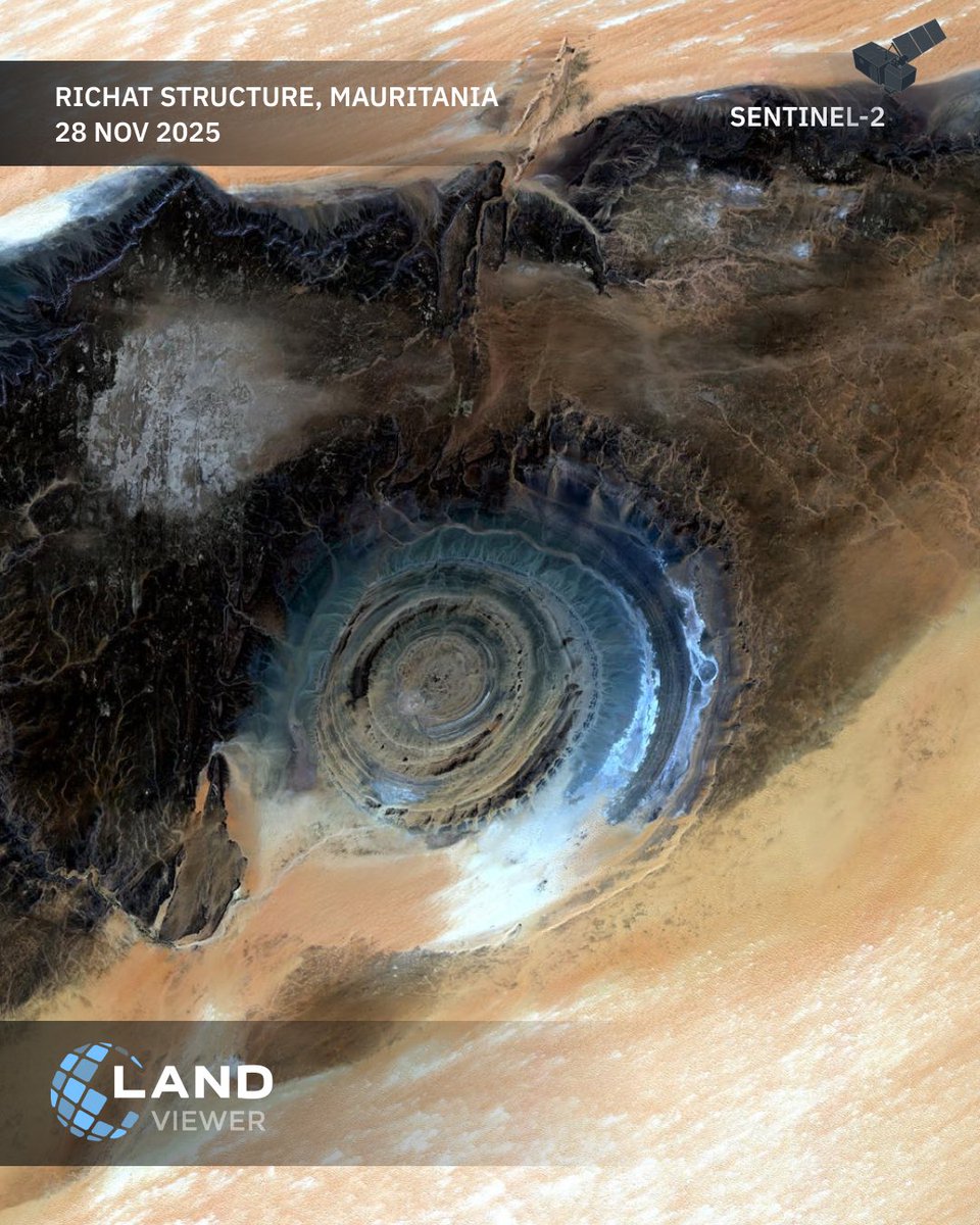
This #Sentinel‑2 scene captures the #Richat Structure in striking detail — concentric rock rings, subtle elevation changes, and surrounding dune fields all in one frame. Med-res imagery like this is ideal for regional geology: bit.ly/3KyvTQD
1
1
4
1,007
EOS Data Analytics retweeted

4 Dec 2025
Today, on World Soil Day, we're making the invisible visible.
HORIZON lets you see your soil carbon changing - paddock by paddock, as a map.
Built with @eos_da. Validated against 20,000 Australian soil samples.
See your soil like never before 👇
ap1.hubs.ly/y0rbGp0
1
1
1
526
EOS Data Analytics retweeted

25 Nov 2025
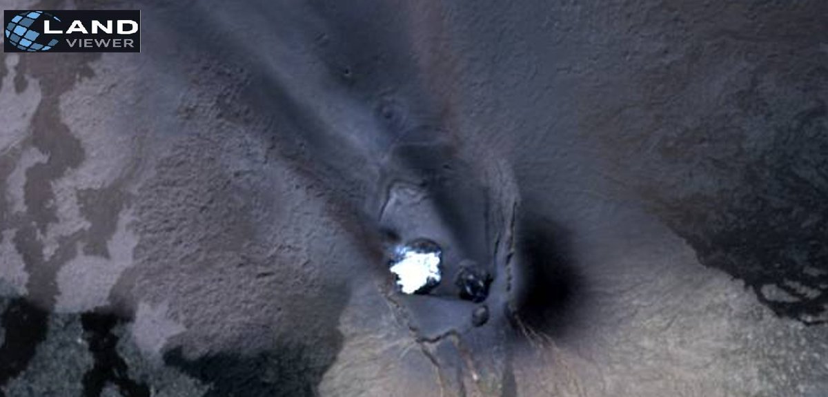
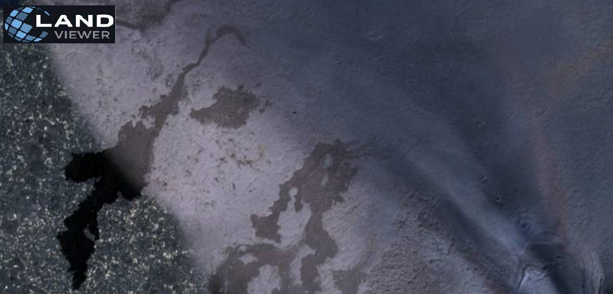
The smooth gradient from dense dark ash to pale thin layers highlights plume height and wind influence. Muted ground tones and fading vegetation traces show how ash loading reshaped the landscape and stressed the region’s ecosystem after the eruption. 2/2
@eos_da
@EOSDALandViewer
2
3
5
721