
Joined January 2010
- Tweets 2,761
- Following 544
- Followers 449
- Likes 1,697
201 Photos and videos


Fernando Cladera retweeted

8 Jul 2025
Introducing Muscle v0 -- infinite degrees of freedom, from @DaxoRobotics. A different mountain to climb - with a far more beautiful peak.
We built this from the ground up:
- Ultra-dexterous
- Built for machine learning
- Durable and robust
More below (1/n)
34
89
549
273,349

8 Jul 2025
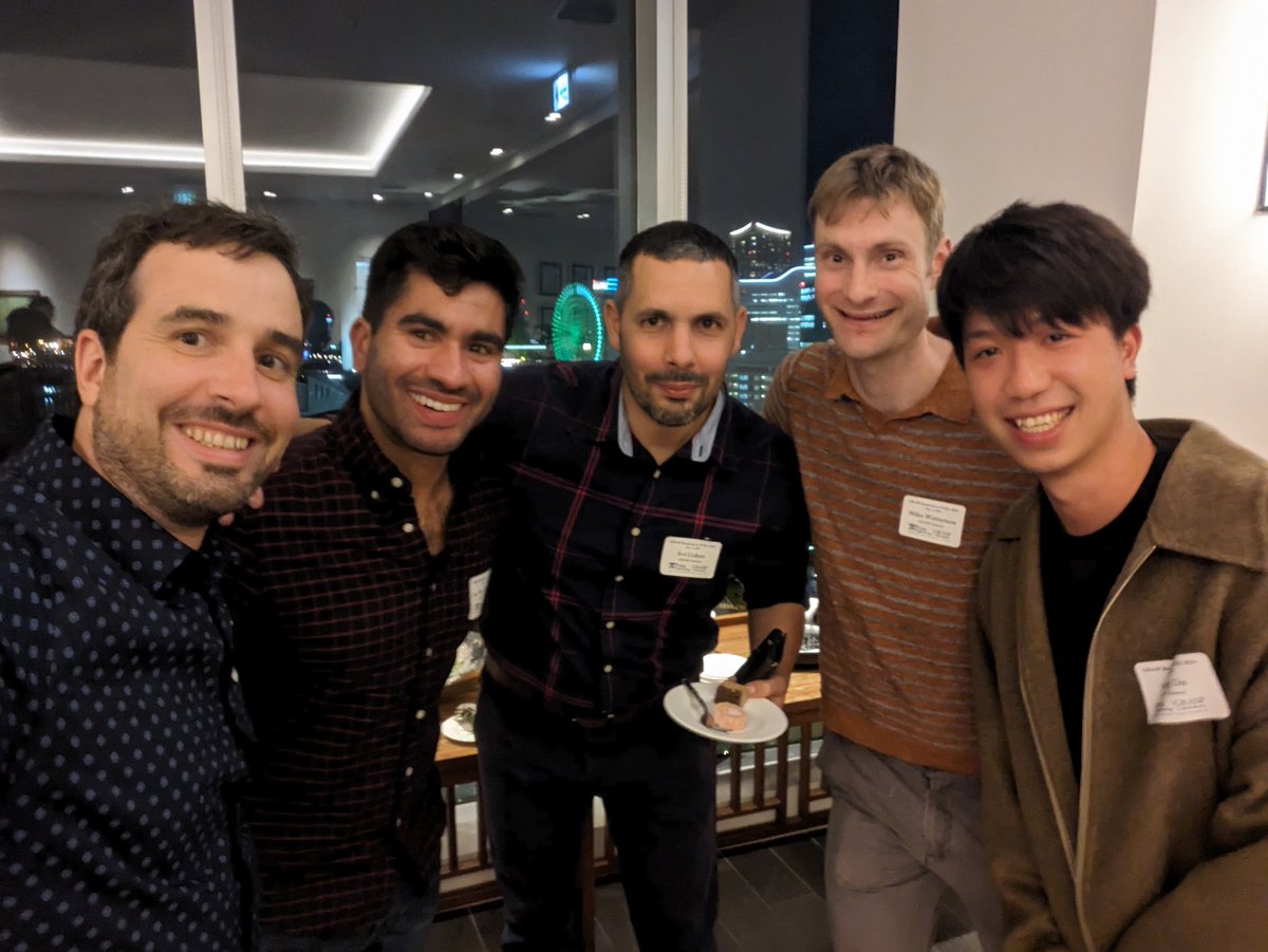
The PX4 meetup presentation recording is out! Thanks @MikePehel, @mrpollo and @Dronecode for this amazing opportunity to meet other folks working on open source robotics. I hope we can do it again soon!
youtube.com/watch?v=sSEBcnGI…
1
1
5
332
8 Jul 2025
This is really impressive, in line with everything that @tom_jiahao makes!
7 Jul 2025

We at @DaxoRobotics found a new (and better) way to build towards true robot dexterity.
This dexterous robotic hand is something I’ve been working on since graduating from @GRASPlab.
Below is just a teaser. Enjoy the spin. The full story drops tomorrow.
1
1
178
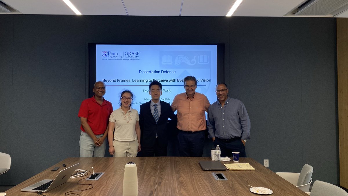
20 Jun 2025
Outstanding presentation @ZiyunClaudeWang !!
20 Jun 2025

Congratulations Prof.Dr. Wang @ZiyunClaudeWang for the exceptional defense presentation! @JohnsHopkins ECE is so fortunate to win you! Thank you Pratik, Lingjie, CH and Davide!
1
108
12 Jun 2025
Wanna see how we recorded the 2024 total solar eclipse using event cameras? I will present 🌑 "Looking into the Shadow" at the #CVPR2025 Workshop on Event-based Vision!
Website: eclipse-event.cam
@smartereveryday @KostasPenn @KenIsNotARobot @vijay_r_kumar @guillermogb
1
3
519
Fernando Cladera retweeted

10 Jun 2025
I'm excited to share that I will join Johns Hopkins ECE (@JHUECE, @HopkinsEngineer, @HopkinsDSAI ) as an Assistant Professor in Fall 2025. My lab will focus on embodied AI, emphasizing efficient, adaptive, and robust robotic systems using neuromorphic technologies.
10
7
101
10,655
20 May 2025
I will present my work on high-altitude orthomapping with event cameras in a few minutes. Join me in room 305A!
evmapper.fcladera.com/
1
63
Fernando Cladera retweeted

19 May 2025
We (authors and editors) worked very hard to finalize Part III of the SLAM Handbook before #ICRA2025. It is available for public comment, link below. Please keep flagging issues coming as we work towards finalizing the draft for the Cambridge UP print version. #SLAMHandbook
3
17
113
10,938
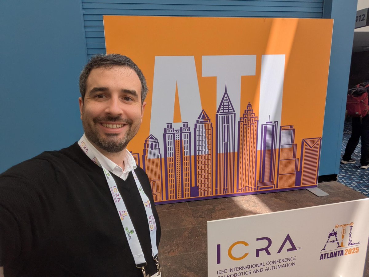
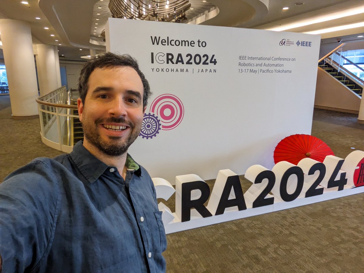
19 May 2025
Hello Atlanta!
I am excited to be at #ICRA2025, meet old and new colleagues, and present some of our recent work.
Are you around? Get in touch!
3
166
4 Mar 2025
We are releasing the M3ED SLAM Challenge for the CVPR 2025 Workshop on Event-based Vision! 🚀 The goal of this challenge is to leverage the high temporal and spatial resolution of HD event cameras for SLAM and pose estimation applications.
m3ed.io/slam_challenge/
1
2
4
391
4 Mar 2025
We are hosting two tracks:
- Event ( IMU): if you obtain your pose using a single or a pair of event cameras, w/wo IMU.
- Event Mono ( IMU): if you obtain your pose using a single or a pair of event cameras fused with monocular global shutter cameras, w/wo IMU.
1
1
98
4 Mar 2025
You have until June 2 to send your submissions on Codabench!
#CVPR2025
@KenIsNotARobot @ZiyunClaudeWang @AnthonyBisulco @ChrisKorpela @KostasPenn @vijay_r_kumar @guillermogb @PennEngineers @GRASPlab
1
2
556
22 Feb 2025
Dear friends and colleagues, we are excited to invite you to our workshop "Novel Approaches for Precision Agriculture and Forestry with Autonomous Robots" ag-tech-icra2025.com/ at ICRA 2025!
1
1
81
22 Feb 2025
This workshop will bridge industry and academia to discuss how to close the gap towards autonomous robots in agricultural and field robotics settings.
1
58
22 Feb 2025
We have an exciting line of confirmed speakers on our website. The Call for Papers is also available, with a deadline of April 15. We will release a tree diameter estimation challenge soon as part of the workshop. Stay tuned!
58
Fernando Cladera retweeted

20 Feb 2025
KiCad Version 9.0.0 Release
The KiCad project is proud to announce the latest major version stable release. See the blog post on the KiCad website for more information about this release.
kicad.org/blog/2025/02/Versi…
13
198
538
43,396
20 Feb 2025
Excited to have all the Dronecode folks in Philly! It is going to be a lot of fun!!
linkedin.com/posts/px4_excit…
1
5
138

Data collection for forestry, timber, and agriculture currently relies on manual techniques which are labor-intensive and time-consuming.
TreeScope is the first semantically segmented lidar dataset collected with robotic systems in agricultural environments. It provides lidar data and ground-truth data for semantic segmentation and diameter estimation from agricultural environments to address the counting and mapping of trees in forestry and orchards.
This example visualizes data from their custom sensor platform, including sensor data from lidar, IMU, GPS, RGBD and thermal cameras, along with ground-truth data with over 1,800 manually annotated semantic labels for the tree stems and field measurements of tree diameters.
Check out their Github repo for an overview on how to use the data and benchmark scripts to evaluate the performance of diameter estimation and semantic segmentation algorithms, along with their website for more info.
buff.ly/4cqZ94o
The Treescope dataset has been provided by the research of Vijay Kumar, Dean of Penn Engineering and Kumar Robotics, Derek Cheng, Fernando Cladera, Ankit Prabhu, Xu Liu, Alan Zhu, Patrick Corey Green, Reza Ehsani, and Pratik Chaudhari.
3
2
738
Fernando Cladera retweeted

23 Sep 2024
🎉 PX4 v1.15 Stable Release is here. 🎉
This release comes packed with tons of features:
✅ Improved ROS 2 Integration and Gazebo Support
✅ Expanded hardware support
✅ Enhanced navigation capabilities.
✅ new Throw Mode
Check out the top features -> hubs.la/Q02QMyWN0

13
27
3,471