Computer Scientist working as Python Data Engineer. Using lean, agile & open source tools to make great data products and people happier (aka tío) Eng Work&Tech
- Tweets 1,673
- Following 800
- Followers 458
- Likes 6,405


ALT Screenshot with the text: Aeronautical engineer Lorena Barba at George Washington University in Washington DC agrees that few, if any, fields are exempt from the issue. “I’m confident stating that scientific machine learning in the physical sciences is presenting widespread problems,” she says. “And this is not about lots of poor-quality or low-impact papers,” she adds. “I have read many articles in prestigious journals and conferences that compare with weak baselines, exaggerate claims, fail to report full computational costs, completely ignore limitations of the work, or otherwise fail to provide sufficient information, data or code to reproduce the results.”

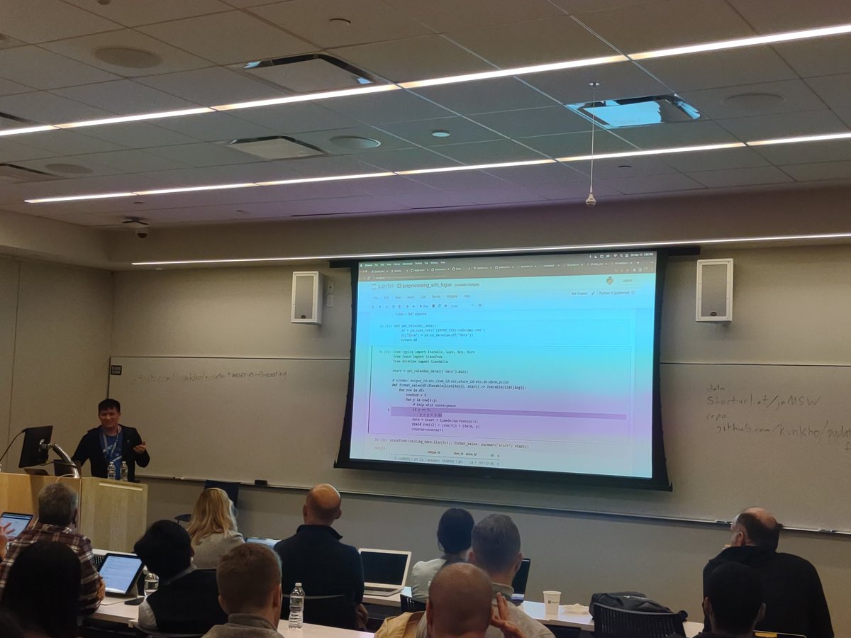
ALT Matthias abriendo las manos y diciendo "nos vamo a calmá".


