
27 Aug 2025
A topographic survey is more than picking!
Most topos are ordered by architects and engineers to be used as a critical ingredient for design. Every time you pick and plot topographic details, you have to think like a design Engineer! Here are a few tips to help in field data collection and topographic design for presentation:
In the field
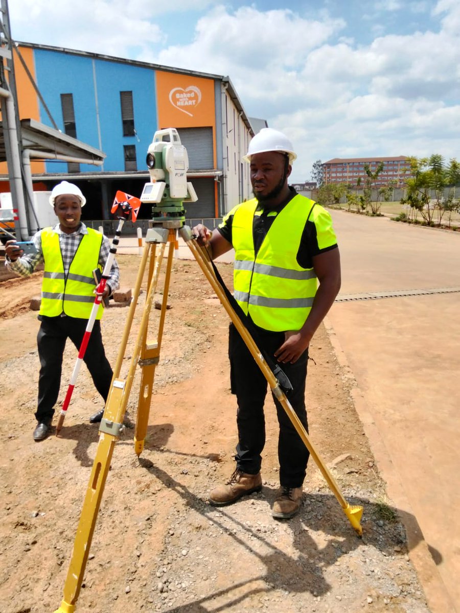
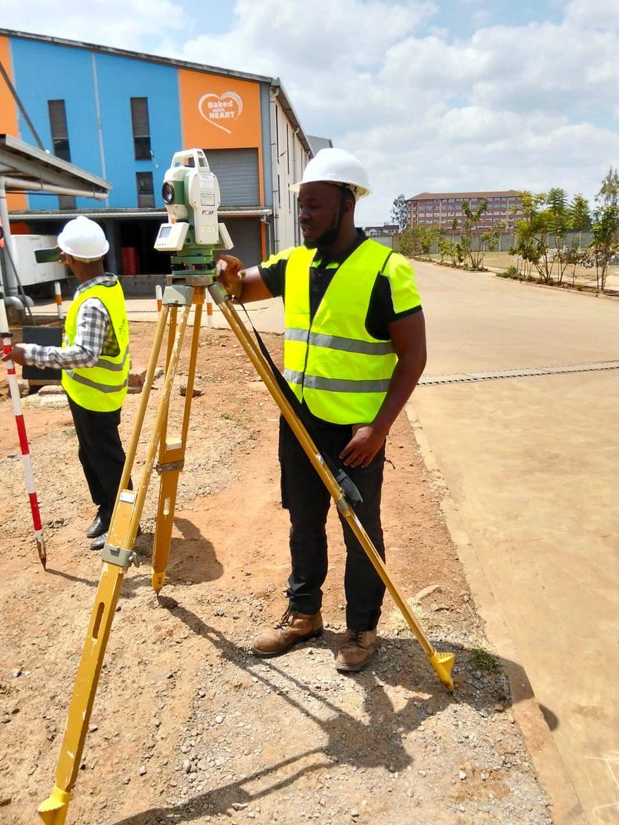
1️⃣ Establish a stable control network – Always create a robust control network that defines a reliable height datum. Concrete the benchmarks so they outlive the project. Remember, the controls set during picking will also be used during setting out, earthworks, monitoring, and as-built. They can only be densified and extended, not replaced. Position them away from obvious disturbances and ensure intervisibility—at least three visible at any setup when using optical instruments like a Total Station.
2️⃣ Record instrument heights and prism constants (TS) – Topos are primarily about depicting feature elevations, so instrument heights and prism constants must be carefully measured and included in your instrument configuration. Without this, your evaluations will be unreliable.
3️⃣ Input the correct coordinate reference system – Always key in the right CRS depending on project location. We are moving away from older, locally defined datums such as ARC 1960 to globally accepted ones like WGS 84. Remember: ARC 1960 / UTM Zone 37S is not the same as WGS 84 / UTM Zone 37N.
4️⃣ Pick ALL details and uphold the principle of data completeness – Never leave gaps in your dataset. Open manhole covers and pick inverts. Take additional spot heights where sudden elevation changes occur. Extend your coverage slightly beyond the area of interest to avoid edge gaps. Capture culvert inverts and drains—they are essential in modeling flow directions. Think of every omitted point as a potential design problem later.
5️⃣ Supplement survey data with metadata and context – A topo drawing only tells part of the story. Record field notes on soil type, ground cover, obstructions, and surface conditions. Photograph critical features like utilities, retaining walls, or poorly visible drainage lines. Sketch complex areas where geometry may be misinterpreted in CAD. This metadata ensures designers interpret your survey correctly and minimizes costly miscommunication.
#TopographicSurvey #Surveying #FieldData #EngineeringDesign #CivilEngineering #SurveyingTips #GIS #Geospatial #TotalStation #LandSurveying #ControlNetwork #WGS84 #SurveyDesign #ConstructionPlanning #DataAccuracy #LandDevelopment

2
27
96
5,393

18 Feb 2023
2
12
2,197


14 Jul 2021
In June, Erin from our #Marketing team headed out with @tritechsurveys for a day. On site she helped to install a #controlnetwork, getting hands on #experience with lots of different pieces of #equipment! Read all about it in or latest blog: getkidsintosurvey.com/blog/m…
3

21 May 2020
出勤しながら #とんねるず の曲を聴く
#夢をあきらめないわ も #CONTROLNETWORK も歌詞を見ると「なんじゃそりゃ」とぶっ飛ぶ曲なのに…
なんで こんなにカッコ良く歌えるの⁉️
とんねるずは やっぱり天才❗
も思ったら 二人が並んで歌ってる生の姿が見たくて 何か泣けてきた😢
8

2 Apr 2019
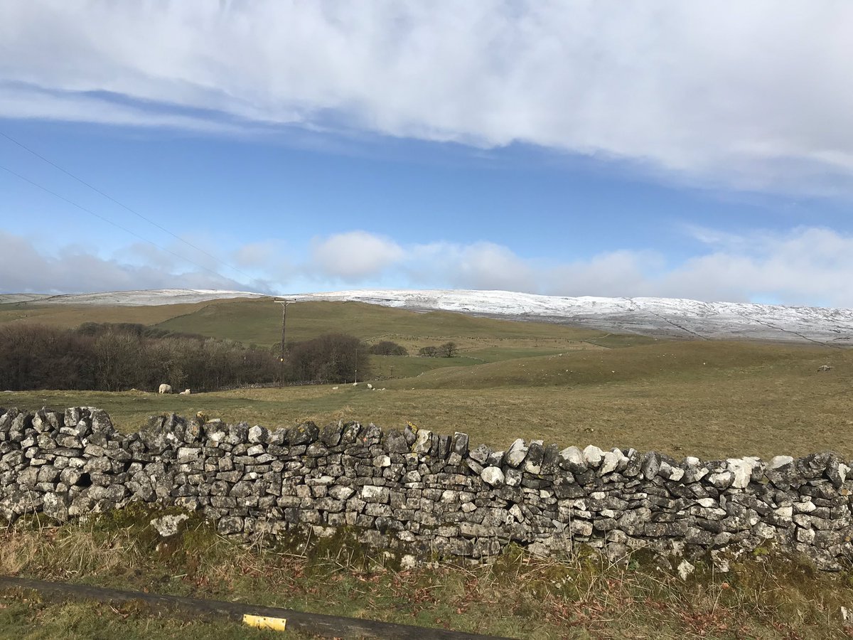
Second year field course up and running. Day 1 #highwaycurve day 2 #controlnetwork @UniofHerts @MalhamTarnFSC @civ_uh #scenery #surveying #civileng #cold


1
4

19 Oct 2018
今日はアルバムのとんねるずの曲聴きまくった~
ヘッドライトが泣いてる
夜におちてBIue
Boy海賊になれるかい
テレビジョンが僕達をダメにした
バリケードのない荒野
LASTDANCEにはまだはやい
8月のコニーアイランド
CONTROLNETWORK
デクノゾウ
1978年の金網の向こうに
男の羽根
KATSUAGE
やさぐれ

2
1
19

29 Jun 2018
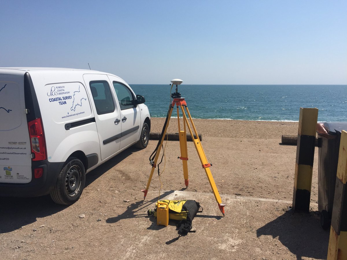
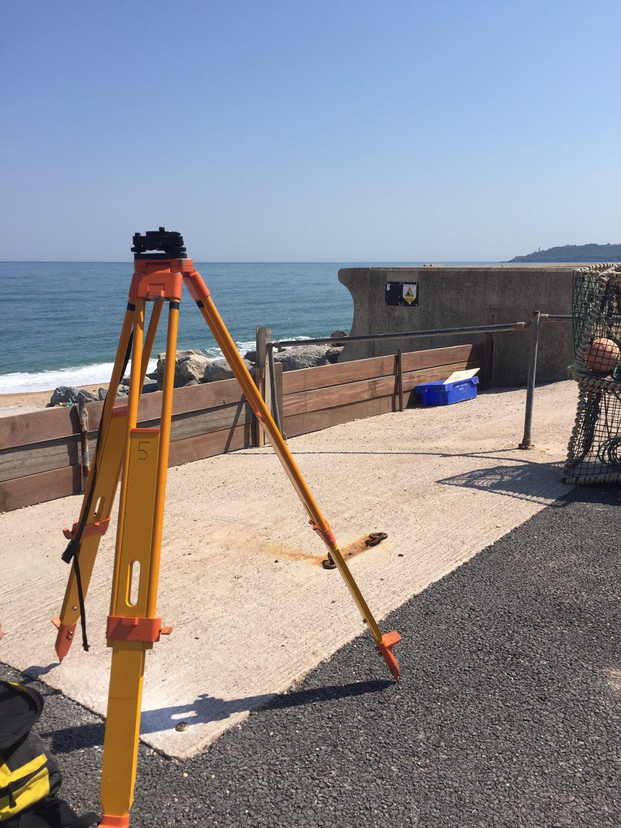
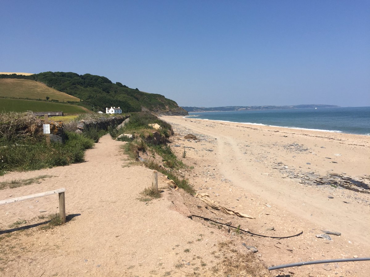
PCO are in Start Bay today installing new control points at Beesands and Slapton Sands 🌞 @SouthHams_DC @FSCSlaptonLey #GPS #controlnetwork #trimble #surveying #coastalmonitoring
2
8

13 Mar 2017
Creating a control network! Old methods vs new! #MobileApps #AppsforSurveyors #SurveyApps #ControlNetwork ow.ly/jVFy309Qre1

2
2