
14 Oct 2021
#RedFlagWarning #CriticalFireWeather #MultipleCounties #CA #USA #TODAY
Details in map. Wind picking up now at scene of #AlisalFire.
PLEASE BE CAREFUL.

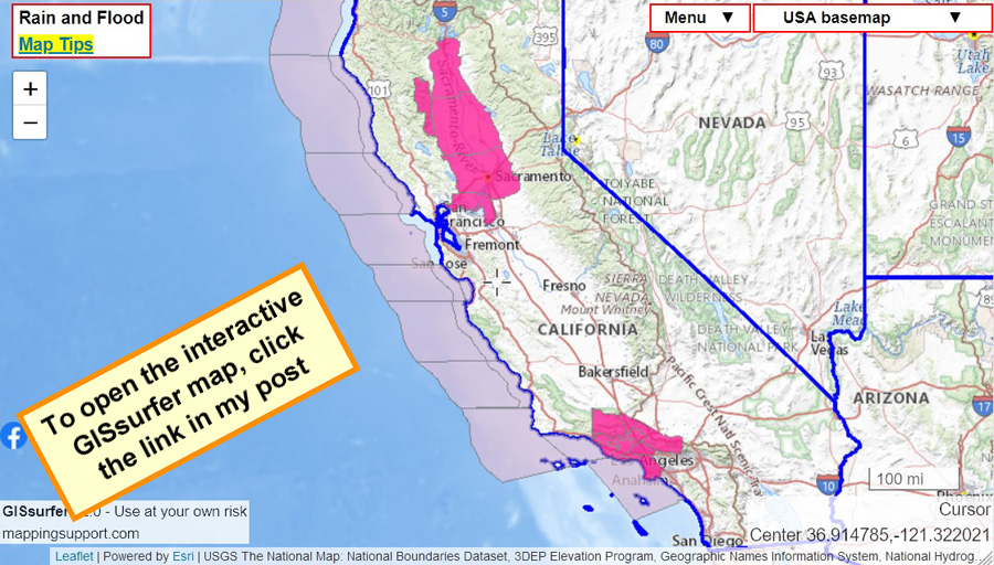
October 14th. #RedFlagWarning. Open map, zoom in, click map, follow link for official NOAA details regarding timing, wind speed, etc.
Open #GISsurfer map: bit.ly/3AOnptS
1
2 Sep 2021
#DixieFire #RiverFire #MultipleCounties #CA #USA #FederalAssistance #UnderInsured #Uninsured #Information

Federal assistance may be available for uninsured or underinsured individuals affected by the #DixieFire and #RiverFire in Lassen, Nevada, Placer, and Plumas counties.
Learn more here: wp.me/pd8T7h-6CL
1
1
31 Aug 2021
#CaldorFire #CA #NV #MultipleCounties #LakeTahoe Region #CA #USA #Firemap #Interactive #VIIRS #MODIS
Note caveats & instructions. @JosephEfelt has other terrific-helpful information on maps in his feed.
TY to him & to @ai6yrham for their devoted and reliable coverage always.
2
29 Aug 2021
#CaldorFire #MultipleCounties #LakeTahoe #CA #NV #USA #FireWeather #FireMapping
Hoping all remaining in affected areas have firm #EvacuationPlans
readyforwildfire.org/prepare…
29 Aug 2021

Gotta say, the outlook for the #CaldorFire is not good. With fire established on both sides of 50 east of #Strawberry and crescendoing SW winds for the next 48 hrs (including at night) it is hard to imagine scenarios in which it doesn't make a run toward Hwy 89 south of #Meyers.

3
29 Aug 2021
#CaldorFire #MultipleCounties #CA #NV #SierraNevada #TahoeBasin #Update #FirePhotography #Staging #New
Be sure to follow entire 🧵, attachments.
Note new Staging at Sierra at Tahoe Resort in SLT.
29 Aug 2021

New thread today for the #CaldorFire:
The fire is now 156,515 acres and 19% contained.
— 471 single residences, 11 commercial properties, and 170 other minor structures destroyed
— 18,347 structures threatened
— Three FFs and two civilians injured
1