

29 Jul 2022
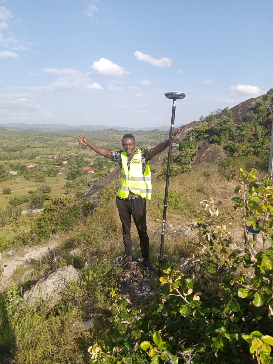
Here is a great shot of over marking your lines using sub-inch accurate RTK GPS. No fussing w Tri-pods, turn on the unit and go to work! #sportstraq #sportsturf #networkrtk @turfwerksinc @BakerVehicle @LawnandGolf
1
6

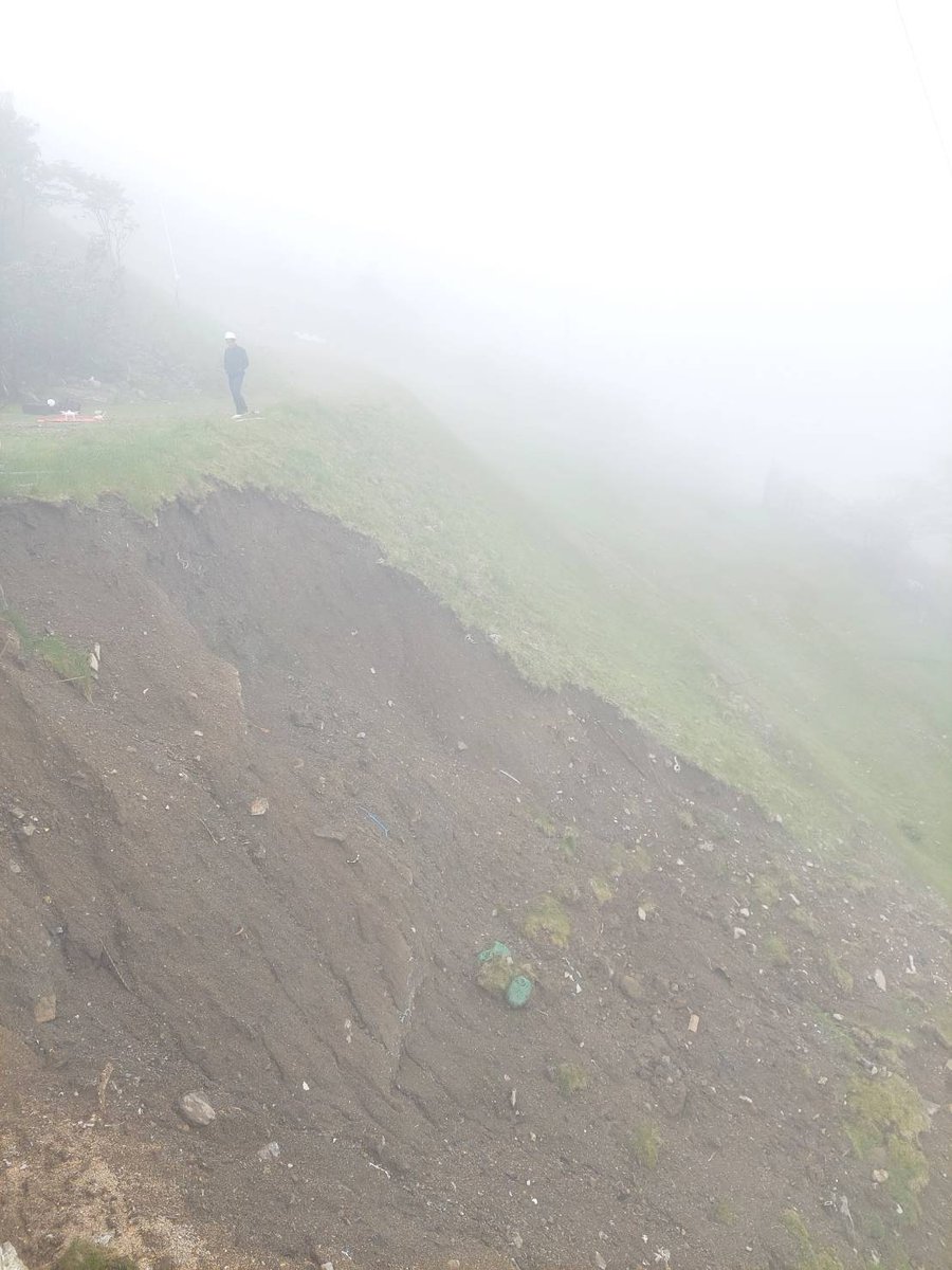
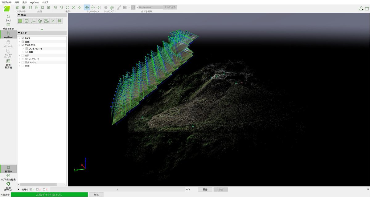
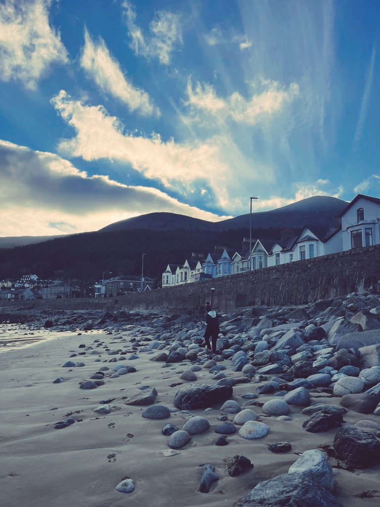
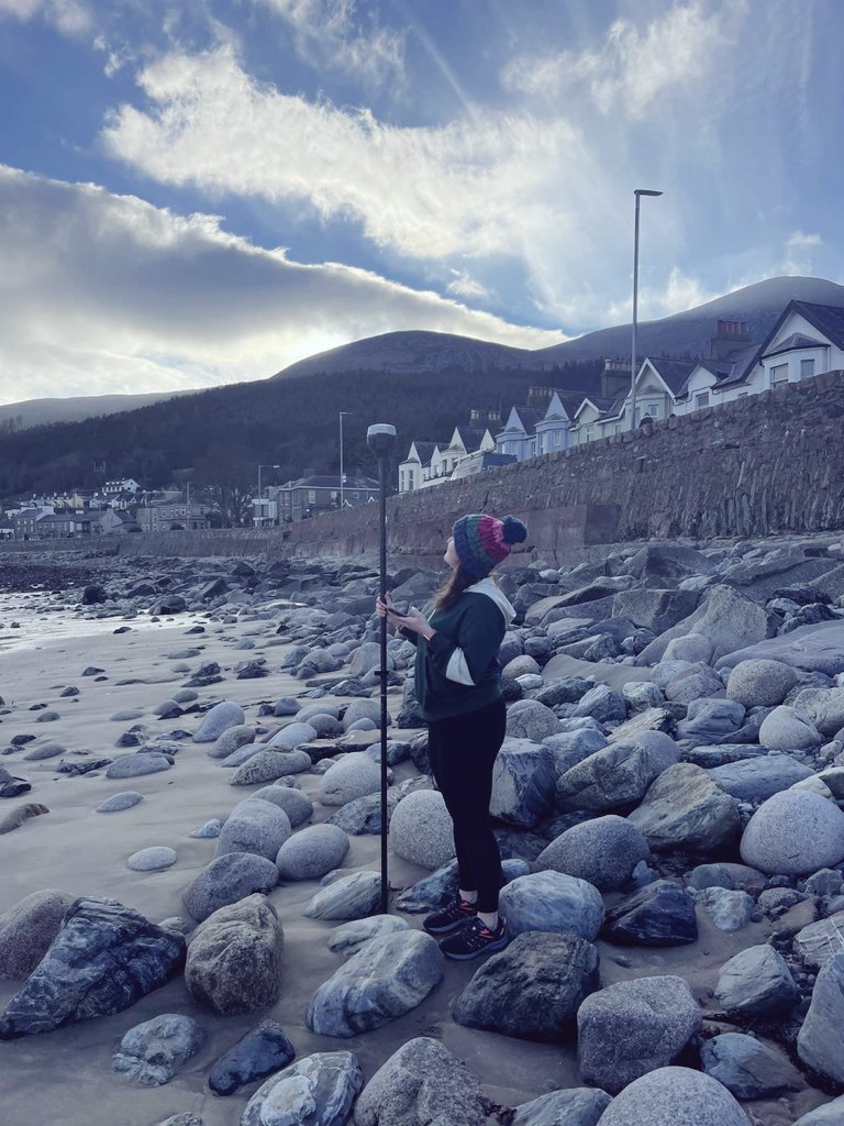
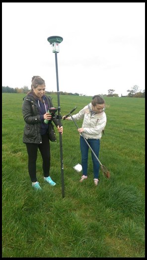
@QUBGeography UG student Aine is using NetworkRTK GNSS survey techniques to map & measure elevations of coastal defenses in Newcastle Co.Down. Aine's research will study resilience of current town defenses to projected SLR due to climate change. #Geomatics #Fieldwork #GIS 🛰️🌊🌍

1
1
6

#GNSS #NetworkRTK #RTK What's this? Introducing our #OpenRTK project @QUBelfast #Geography. Check out our new GIS@QUB blog post on creating a public positioning correction for #Belfast blogs.qub.ac.uk/gis/2018/11/… @QUBEngagement @QUBNBE @opendatani @emlid #GeoScience #Geomatics 🛰️🗺️🌐
2
7