
27 Jun 2025
This week we announced the release of Sentry, a first-of-its-kind persistent monitoring solution.
The article by @payloadspace breaks down how Sentry uses multi-sensor orchestration, AI analytics & our 250 PB imagery archive to deliver predictive intelligence—at global scale.
Read the full story: payloadspace.com/maxar-unvei…
#SentryByMaxar #GEOINT #AI #ISR #PersistentMonitoring

1
15
39
12,869
25 Jun 2025
Today we're launching Sentry—the first-of- its-kind persistent monitoring solution that can simultaneously monitor activity across hundreds of sites to deliver predictive intelligence at global scale.
Sentry brings together three powerful capabilities:
✔️ Seamlessly integrate tasking feasibility and scheduling across multiple satellite constellations
✔️ Automatically fuse data from diverse sensors into a fully co-registered dataset for large-scale analysis
✔️ AI/ML models compare new data to Maxar’s 250 PB archive to detect anomalous patterns and potential threats
The world moves fast. Our intelligence moves faster. See it before it happens, everywhere it matters.
➡️ go.maxar.com/sentry-04
#SentryByMaxar #GEOINT #PersistentMonitoring #AI #ISR
2
9
37
11,468

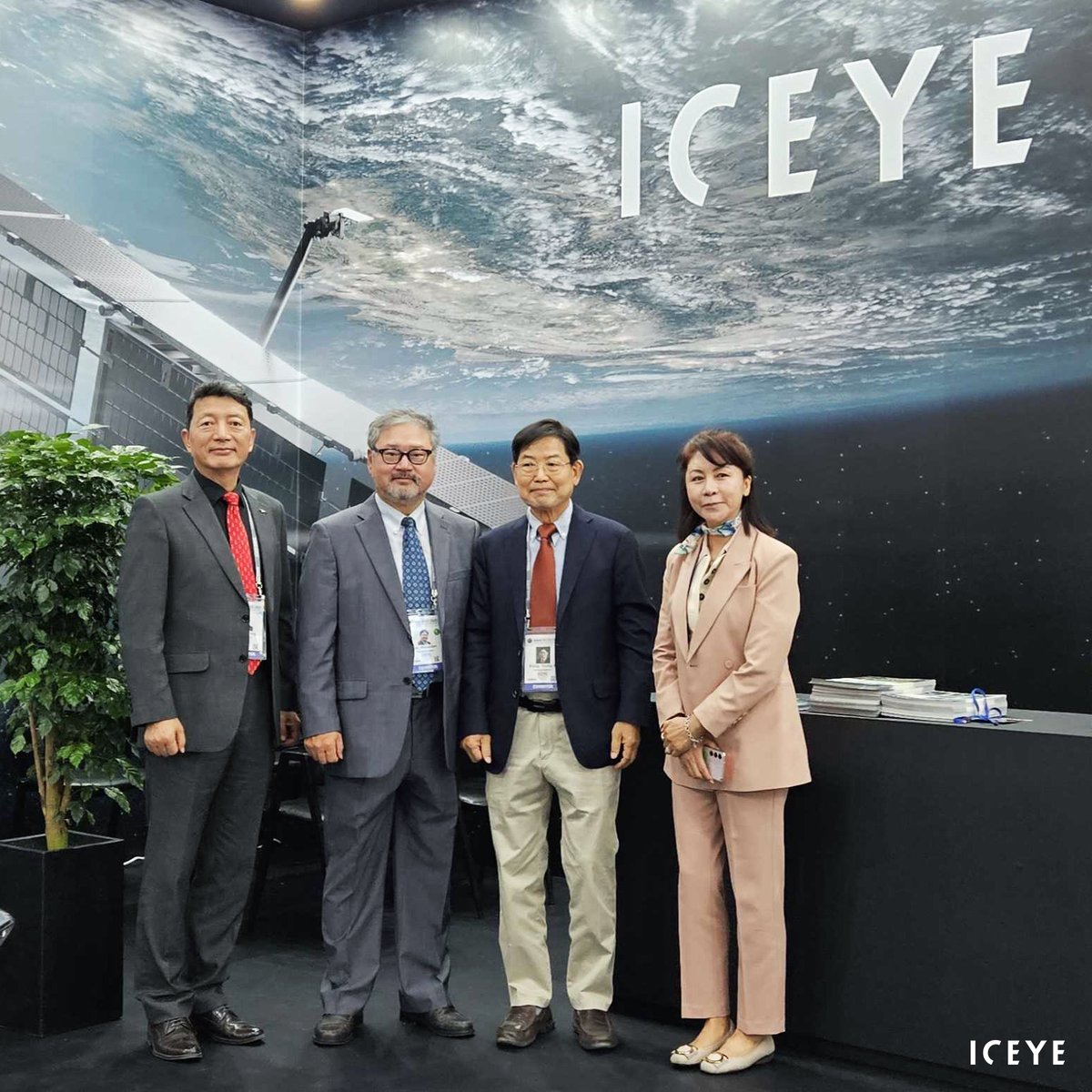
17 Oct 2023
Hello Seoul #ADEX2023 visitors!
Come and meet ICEYE's dedicated team at booth C566 – we are happy to talk about your satellite missions and what we can do for you with the world’s largest #SAR satellite fleet.
#persistentmonitoring #earthobservation
1
9
1,675
29 Aug 2023
🚢 Monitor any port, every day.
With #SAR satellite data from ICEYE, you can detect and classify vessels, track changes in port infrastructure, and more. Download our application study for details: hubs.li/Q020wcZL0
#SAR #earthobservation #persistentmonitoring
6
1,688
5 Jun 2023
🛰️ What exactly is Synthetic Aperture Radar (SAR) and how does it give you information unlike any other technology?
Learn the basics of SAR in our beginner-friendly video with renowned expert Tom Ager: hubs.li/Q01Sc_zg0
#SAR #ValueOfSAR #persistentmonitoring #EO
1
10
1,691
5 May 2023
Finding a needle in a haystack is easy – try finding an oil spill in a massive body of water. Yet there’s a game-changing way to do it: ICEYE’s #SAR satellite monitoring.
Learn more in our blog post: hubs.li/Q01NQ1lj0.
#earthobservation #persistentmonitoring #surveillance
2
9
1,479
13 Mar 2023
🌎 New space, new era. For truly effective change detection, you need radar satellite data. ICEYE’s high-performance #SAR satellites are now available to own – watch our video to learn more
👉 hubs.li/Q01Gy_0P0.
#earthobservation #persistentmonitoring #surveillance
2
12
1,721
4 Mar 2023
Take a look at this stunning SAR image of the Island of Elba in Italy, taken with one of our satellites. ICEYE’s unique #SAR satellite data helps advance European security.
Learn more: hubs.li/Q01FbF320.
#Copernicus #PersistentMonitoring #security #bordermonitoring

1
7
34
4,809
28 Feb 2023
👋 Hello to #DGI2023 visitors! Come and meet the ICEYE team at booth 27.
#SAR #persistentmonitoring #security #bordermonitoring #earthobservation
3
18
2,393
22 Feb 2023
Your perfect solution for monitoring oil spills: radar satellite data from ICEYE.
Detect and respond to oil spills around the globe, day and night, in any weather.
Download our application study to learn more 👉 hubs.li/Q01CZfxN0
#earthobservation #persistentmonitoring
1
2
1,762
15 Feb 2023
Detect marine oil spills anywhere, around the clock, through clouds and darkness.
Respond more effectively – see how SAR satellite monitoring makes it possible 👉 hubs.li/Q01C2T5B0
#SAR #marine #earthobservation #persistentmonitoring #surveillance
3
28
2,395
13 Feb 2023
🛰️ Planning to visit the DGI conference in London? Come and meet ICEYE to find out how our unique SAR satellites help the Defence and Intelligence sector. See you at booth 27.
#DGI2023 #SAR #geoint #persistentmonitoring #security

4
2,419
20 Jan 2023
To stop illegal deforestation, you need to know exactly where and when it’s taking place. #SAR satellite monitoring gives you the timely and reliable data you need.
Watch our new video to learn more: hubs.li/Q01yKMmt0
#earthobservation #persistentmonitoring #surveillance

1
2
7
1,560
16 Jan 2023
🌳 Spot illegal deforestation and take rapid action against it. ICEYE’s #SAR satellite imagery is perfect for daily forest monitoring, through clouds, fog and darkness.
Download our new case study for details 👉 hubs.li/Q01y6FTg0.
#earthobservation #persistentmonitoring
1
7
1,397
10 Jan 2023
Detect forest destruction with the world’s most reliable data.
🛰️ SAR satellite technology from ICEYE helps you monitor forest assets and respond to illegal activities. Learn more: hubs.li/Q01xv7Zh0.
#SAR #earthobservation #persistentmonitoring
4
31
132
15,046
15 Dec 2022
Monitor any strategic site for potential threats – more efficiently and cost-effectively. #SAR satellite technology makes standard methods obsolete. See our full video for details. hubs.li/Q01vXBxl0
#PersistentMonitoring
1
2
8
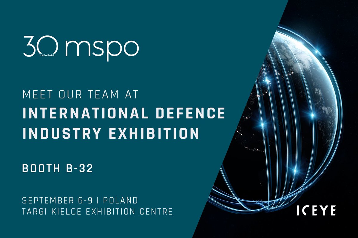
29 Aug 2022
Meet our team at #MSPO22, the International Defence Industry Exhibition! We are waiting for you at Booth B-32 to discuss our leading #SAR satellites and #PersistentMonitoring capabilities.
Learn more about the event at bit.ly/3dXMjBk.
1
4
15 Jul 2022
Watch the film with ICEYE’s co-founders @rmodrzewski and @pekkalaurila who talk about the company’s vision and how we enable #PersistentMonitoring. hubs.li/Q01gRmCw0.
1
2
6 Jul 2022
In our third episode of 'The Value Of SAR' talk series, Tom Ager talked about ICEYE SAR imagery, our unique change detection and #PersistentMonitoring capabilities.
If you couldn’t attend, watch the recording here: bit.ly/3nFiaIG.
#ValueOfSAR 🛰️
1
5
29 Jun 2022
One of ICEYE's core missions is to enable our customers to make better decisions — faster and with a higher level of confidence. Our #PersistentMonitoring allows them to react to changes in near real-time, providing daily data of any location on Earth🛰️🌎 hubs.li/Q01dG9-n0
3
4