
Here to study the sky | Meteorologist Cornell ‘26 |🌪️ 2
Joined June 2022
- Tweets 670
- Following 193
- Followers 335
- Likes 2,162
158 Photos and videos


Pinned Tweet

May 28
Officially a meteorologist!! So lucky to spend the first degreed days on a storm chase this week!

9
55
2,911


Jun 12
Several strong wedge tornadoes occurred yesterday in IL and IN. What went right with yesterday's tornado outbreak?
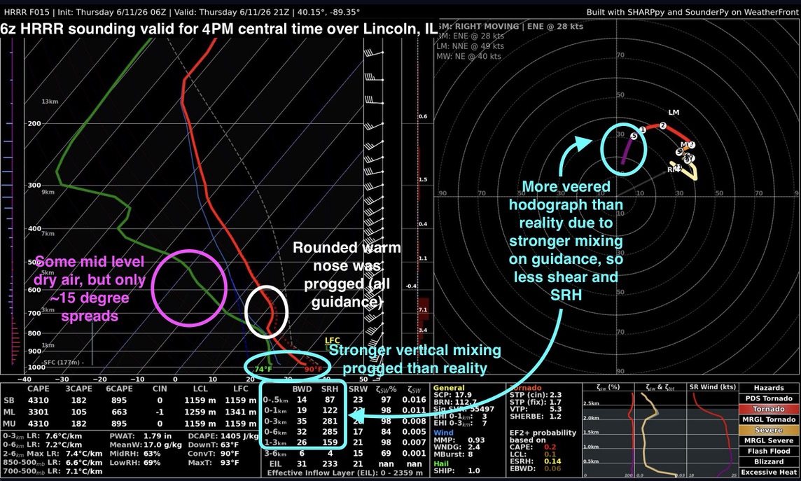
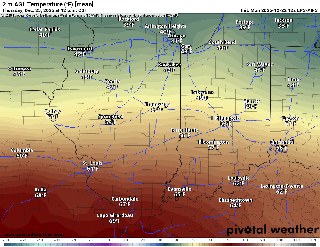
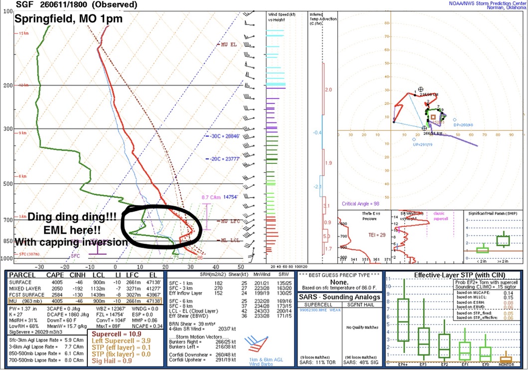
To me, the biggest synoptic driver was the nature of the elevated mixed layer of air, or EML. Models yesterday morning (HRRR, RRFS, NAM) progged this layer of air to be cold and moist throughout peak heating later in the day. This would lead to a large layer of poor lapse rates between 850mb and 650mb and feature a "warm nose". A warm nose like this with high deep-layer moisture content is a hallmark for struggling updrafts and destructive mergers in a sloppy storm mode- in my opinion, the biggest failmode for yesterday.
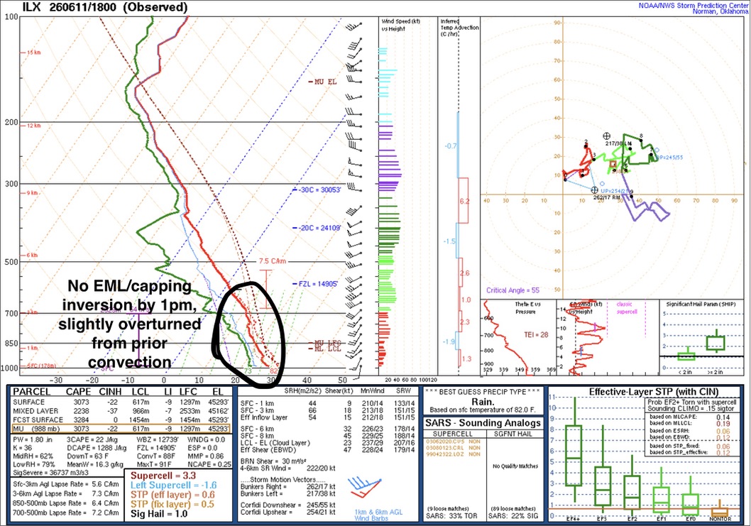
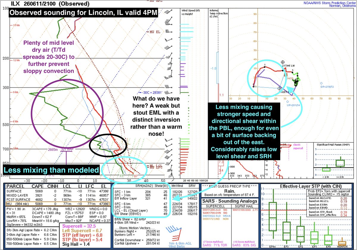
While forecasting, I noticed that a much more stout and classic EML was modeled to be present by mid-afternoon back into Missouri and points south and west. However, guidance did not indicate this would fully and cleanly advect into the favored area for lift and shear (and thus storms). However, observations told a different story. The 1pm Lincoln, IL sounding showed this warm nose profile with weak low level lapse rates and a moist mid-level profile (ignore upper levels- anvil debris from prior storms). However, by 4pm, another Lincoln, IL sounding suddenly showed a loaded gun, a stout capping inversion and somewhat decent EML atop with drier air aloft than modeled. This prevented the warm sector from producing messy meager updrafts along the strong confluence boundaries present and instead fostered more explosive updrafts once weak storm-modified environments broke through this capping inversion (and as the main trough forcing increased later in the day along with diurnal heating).
So in essence, the nature of the EML being a true capping inversion rather than a warm nose cleaned up the warm sector substantially from a messy mode to a more semi-discrete to discrete dominant mode, seen pretty clearly in the HRRR to MRMS comparison.
One other driver to point out was the *benefit* of the midday line of storms being stronger/further south than anticipated. This placed a stronger boundary further south, which was still allowed to modify under the June afternoon recovery. While perhaps some better dynamics and shear was present further north into Iowa and Wisconsin, that capping inversion had no chance of advecting that far north, so it was guaranteed to be a messy mode with competing updrafts. Instead, stronger mesoscale dynamics induced by the outflow left behind by the midday round and reduced vertical mixing from the midday round allowed hodographs to retain stronger low level curvature and shear, and consequentially sweep higher SRH. This was exacerbated so much that winds were actually backed out of the east at the surface in reality when the stronger mixing that was modeled veered hodographs out of the SW, substantially increasing low level directional shear too.
With these changes in mind, the mesoscale came together with interactions between just the right amount of surface confluence well out ahead of the cold front balanced with the capping inversion and the effect and motion of the remnant outflow boundary set by the midday round of storms on 0-1km SRH and stretching potential. And born from this were multiple (likely) significant tornadoes. Definitely verified the SPC forecast, albeit a bit SE of initial expectations.
(see replies for additional graphics)
2
2
24
1,530
Jun 12
This allowed those Peoria cells to take root in an unstable yet clean environment way far ahead of the cold front.
1
4
133
Jun 12
Not sure why x decided to delete my graphics from the original post but here they are again
5
89
Packie Young retweeted

Jun 11
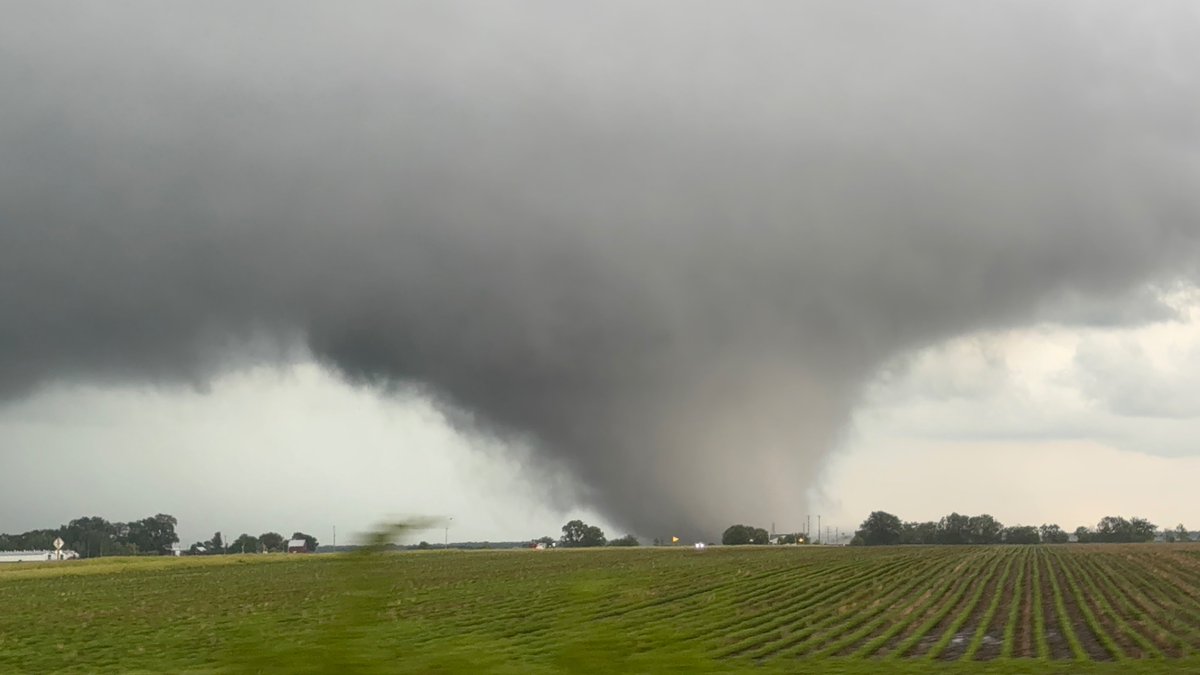
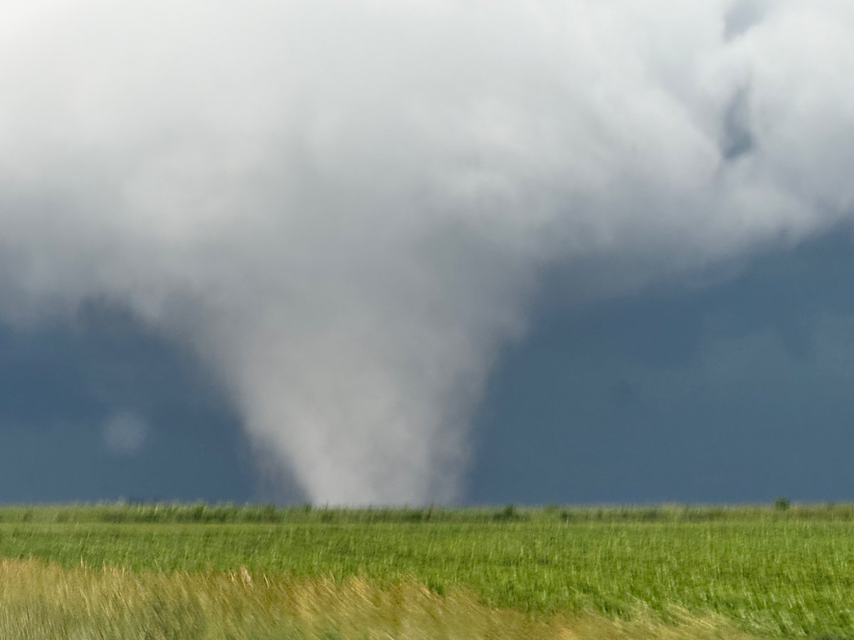
Twin tornadoes near Ransom, IL moments ago
24
428
3,446
104,214

Packie Young retweeted

Jun 11
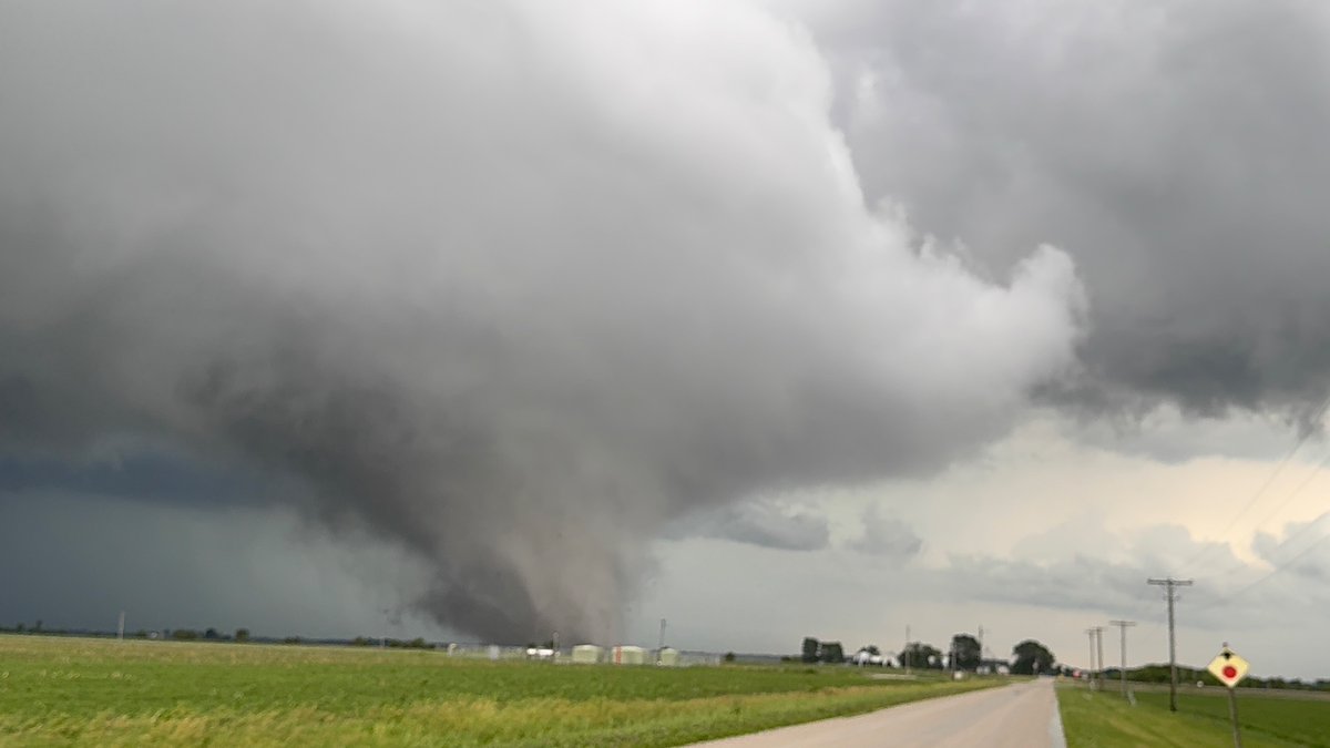
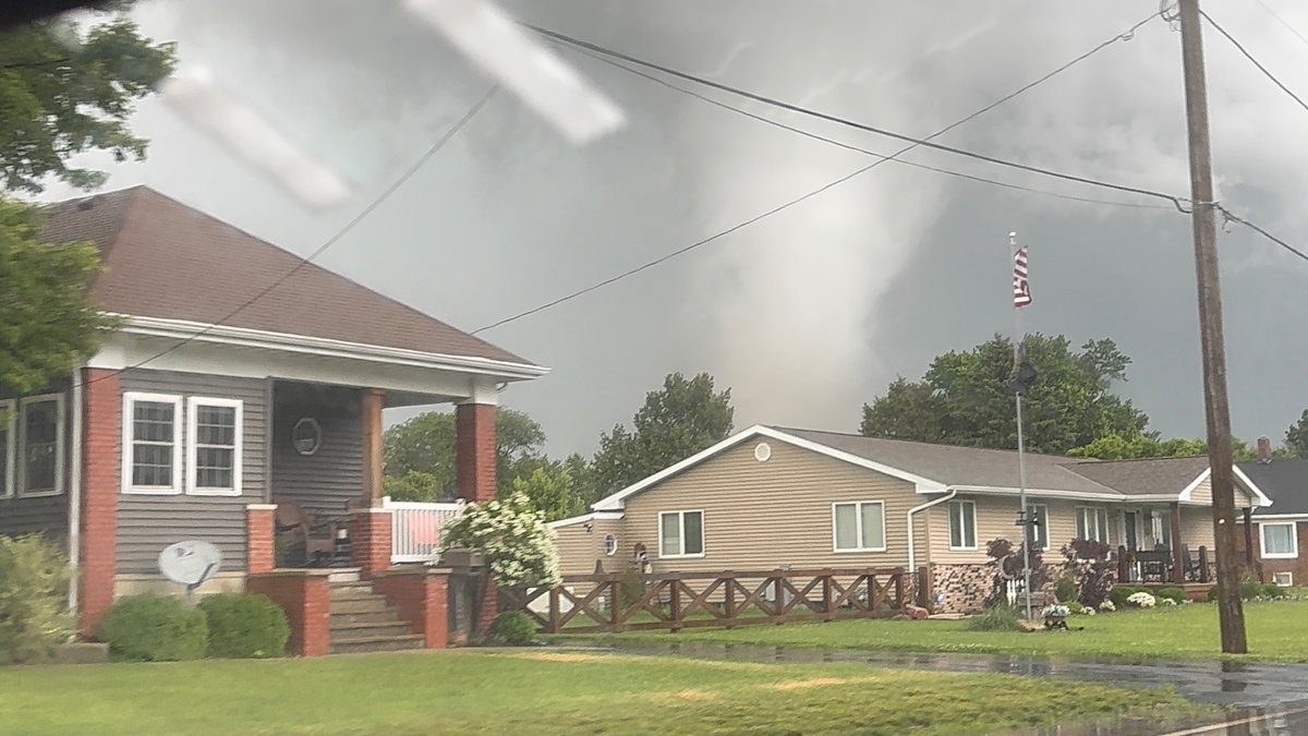
Sorry for radio silence, nonstop, filming tornadoes with my jaw on the floor in North Central Illinois.
49
467
3,134
186,546
Packie Young retweeted

Jun 11
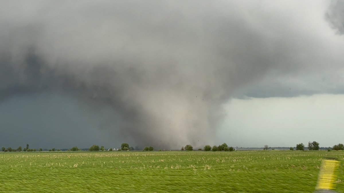
TORNADO ON The ground south of Washburn, Illinois! #ILwx

69
505
2,836
187,110
Packie Young retweeted

Timelapse sequence of last night's tornado near Oxbow, Saskatchewan #skstorm
63
462
2,494
165,620
Packie Young retweeted
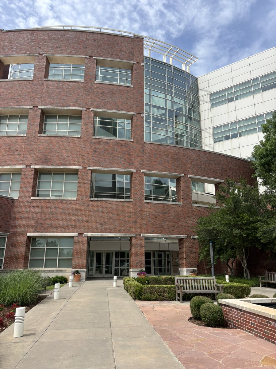
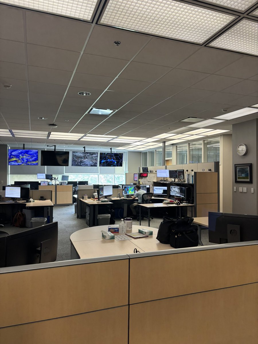
Now that it’s June, excited to share that I’ll be spending the summer in Norman at the Storm Prediction Center! My Lapenta internship project will focus on building a new gridded fire index as well as shadowing fire & severe mets on Ops floor.
6
2
38
2,327
Packie Young retweeted

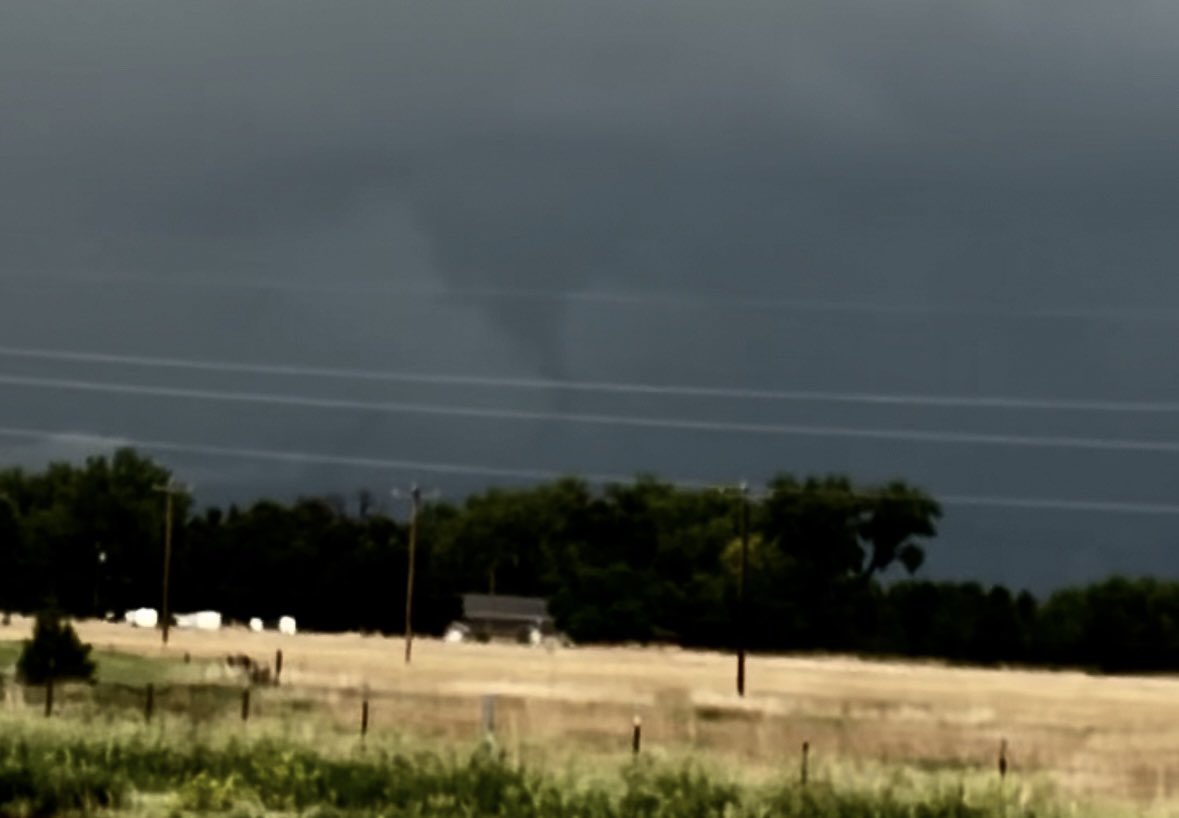
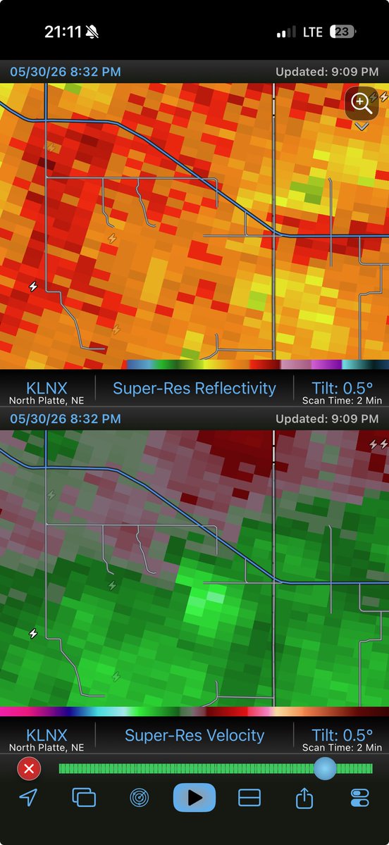
May 31
Skeptical of this, but potentially worth reviewing. Around 8:30-8:38pm looking from North Platte north (between Ringgold and Stapleton). Would think scud but it held a funnel-like shape the entire time. @NWSNorthPlatte @packie7b
1
3
15
855
Packie Young retweeted

May 30
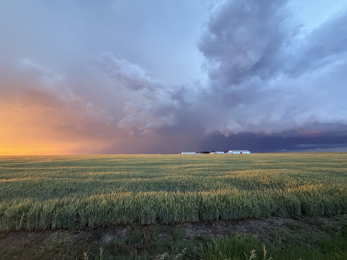
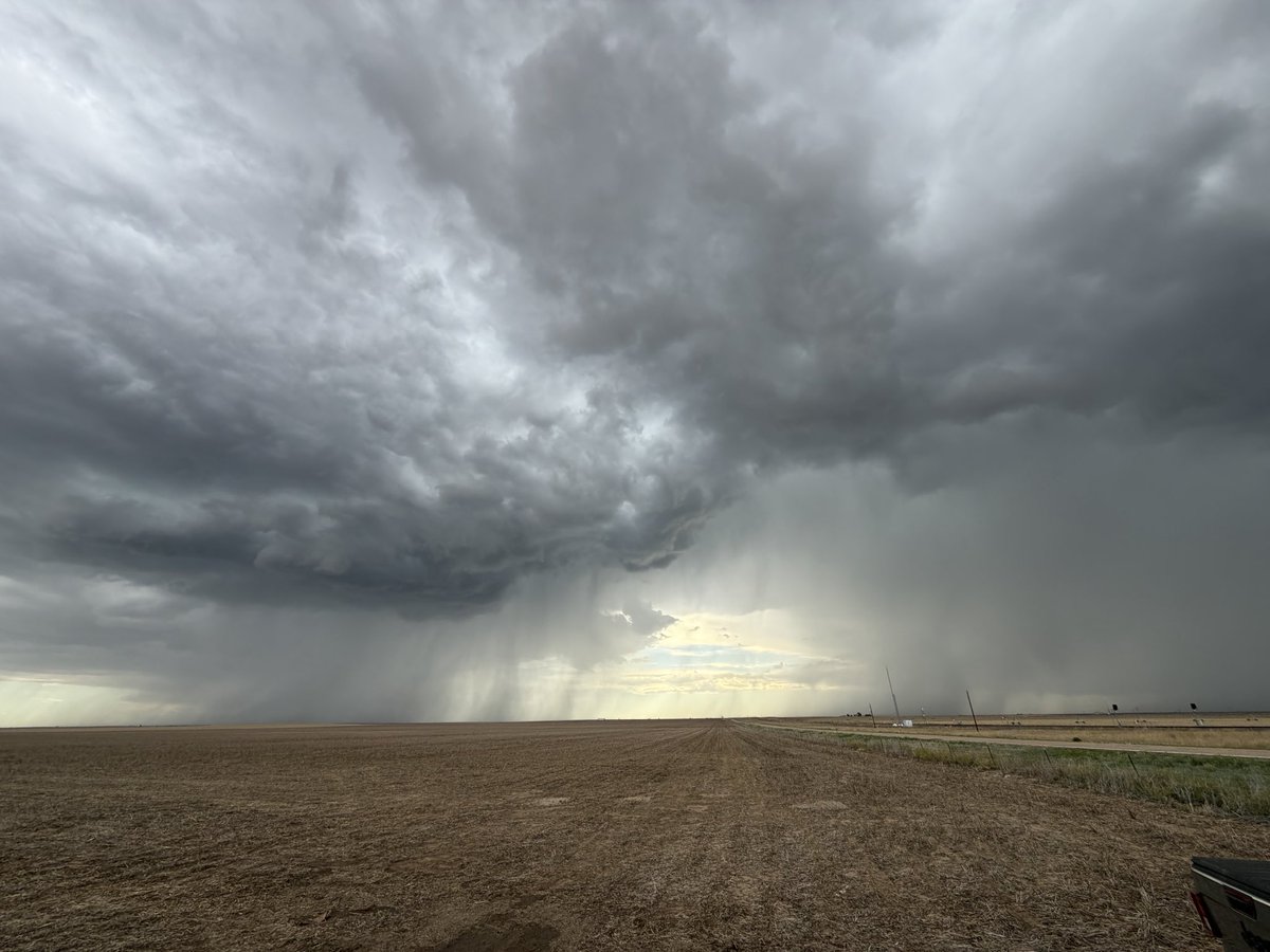
Today, newly-graduated meteorologist @willcanowx chased cells across the barren terrain of western Kansas and eastern Colorado.
The most impressive part? Perhaps the mighty rain shafts dancing across expansive dirt fields. Or maybe the creamsicle sunset fused with a purple lightning show to the east.
Success in storm chasing is not solely defined by catching a tornado. It’s measured through many different modes — occasionally, by straight simplicity.

1
7
34
2,108
Packie Young retweeted

May 22
I’m honored to announce that I’ll be joining the Alabama Weather Network team in early June as a full-time meteorologist in Birmingham! Working alongside James Spann and such an innovative team is truly surreal. Thank you to everyone who has supported me along the way!! #alabama

33
19
565
16,995
Packie Young retweeted

Here’s a tornadogenesis time lapse of the St. Libory, #Nebraska #tornado.
@NWSHastings @NWSOmaha @StormHour #newx
1
34
203
6,873
Packie Young retweeted

May 10
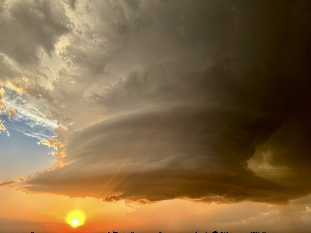
Beautiful sunset supercell near Carter, Oklahoma.
15
125
817
21,924
Packie Young retweeted

Apr 27
A tornado watch has been issued for parts of Arkansas, Illinois, Indiana, Kentucky, Missouri and Tennessee until 11 PM CDT
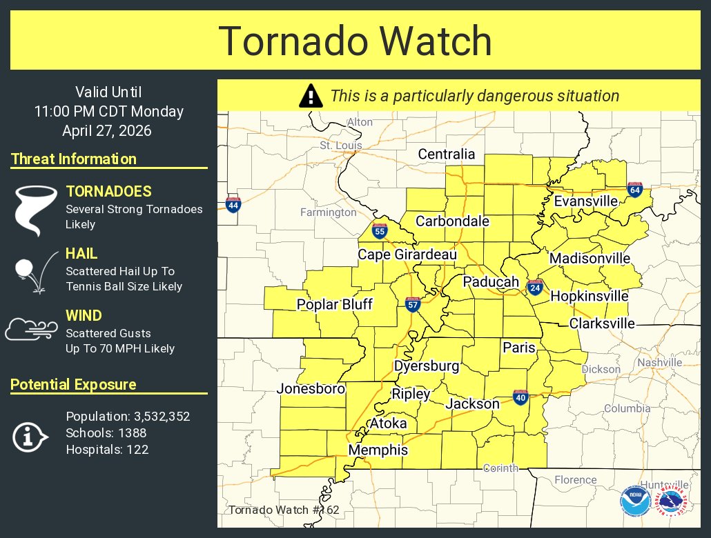
ALT This graphic displays Tornado Watch watch number 162 plotted on a map. The watch is in effect until 11:00 PM CDT. The watch includes parts of Arkansas, Illinois, Indiana, Kentucky, Missouri and Tennessee. The threats associated with this watch are several strong tornadoes likely, scattered hail up to tennis ball size likely and scattered gusts up to 70 mph likely. There are 3,532,352 people in the watch along with 1388 schools and 122 hospitals.
50
399
1,112
325,451
Packie Young retweeted

Apr 16
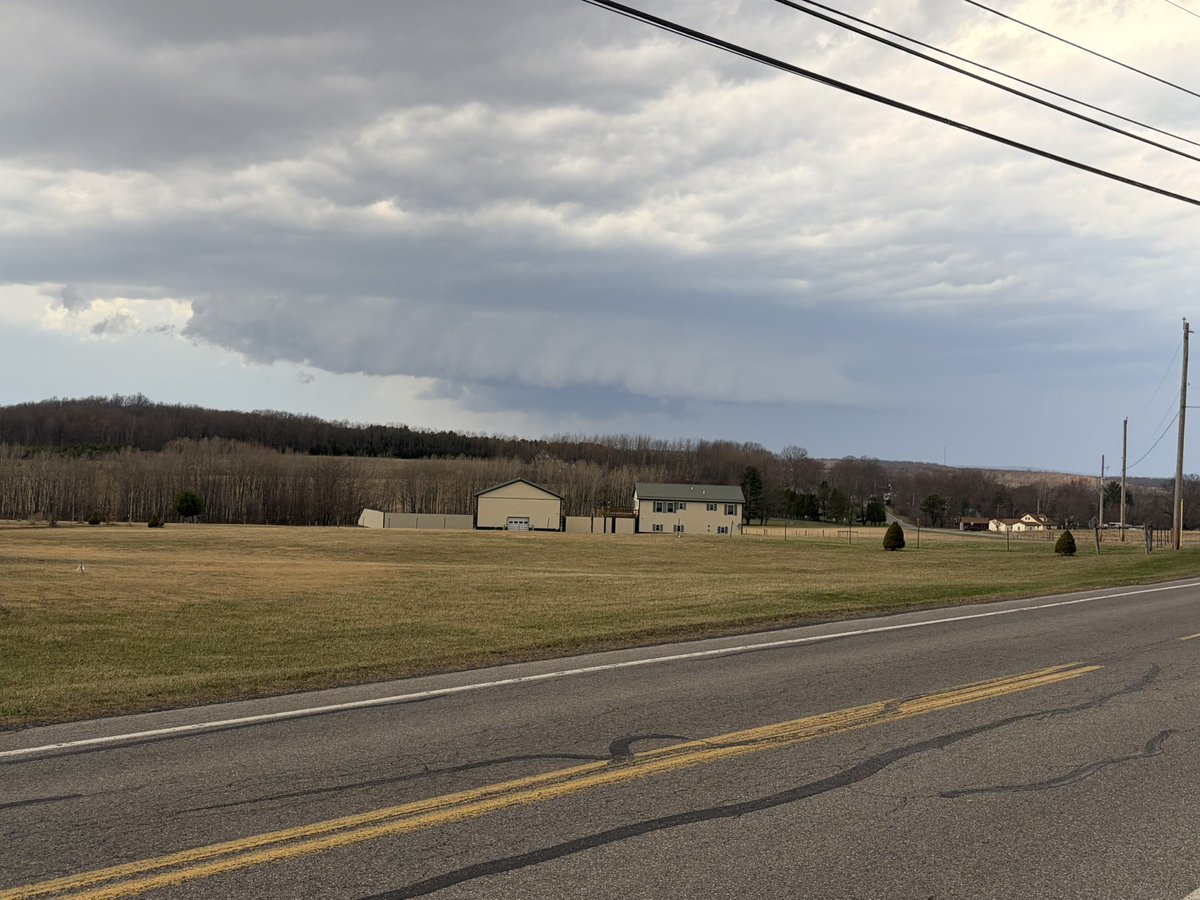
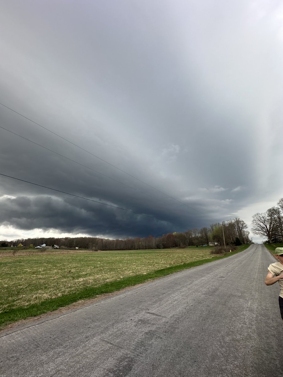
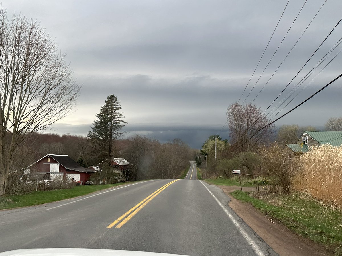
Nice view of the cell near Hastings, New York! #nywx #upstatenywx

1
4
26
895
Packie Young retweeted

Apr 14
Worlds FIRST 360 camera flown inside a tornado (Wyoming, IA)

91
744
4,675
260,131