Professor of Geology
- Tweets 1,715
- Following 1,209
- Followers 1,950
- Likes 44,208


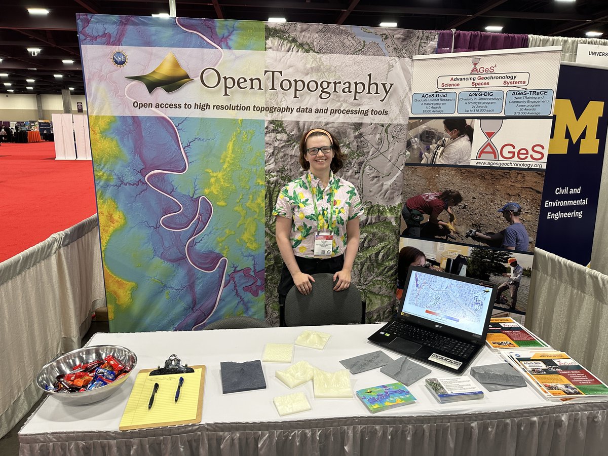
ALT OpenTopography exhibit hall booth at the SACNAS NDiSTEM conference.

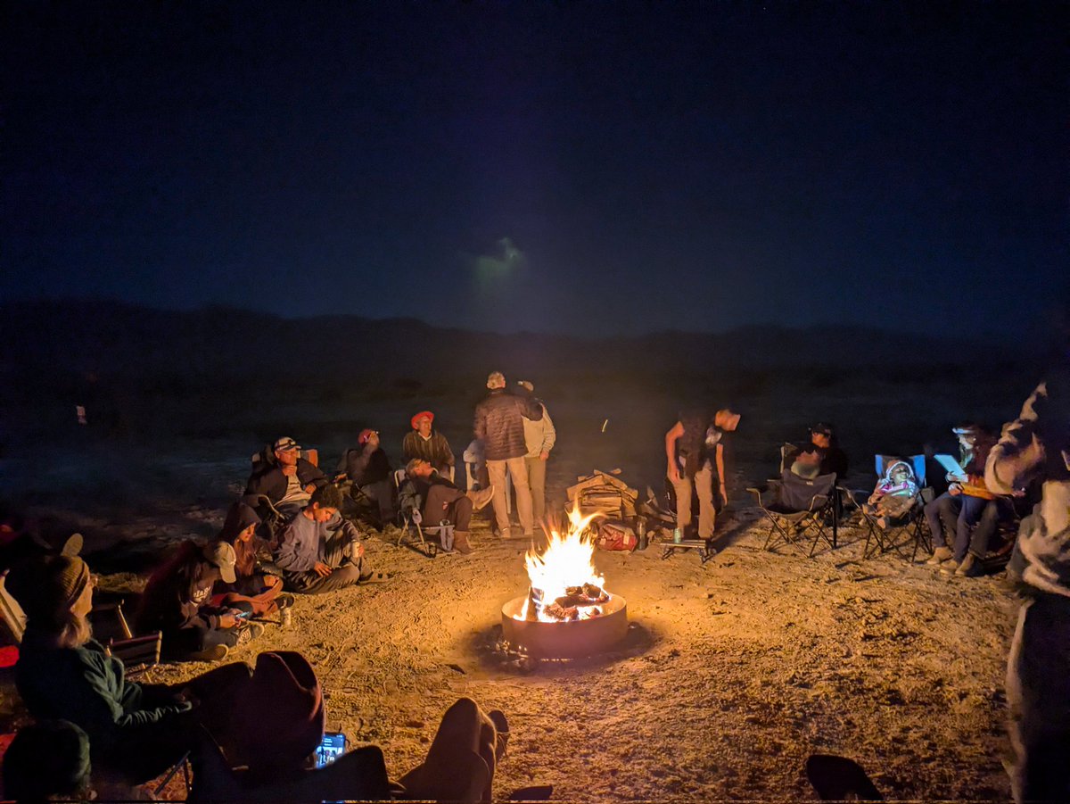
ALT A campfire in the desert with people around
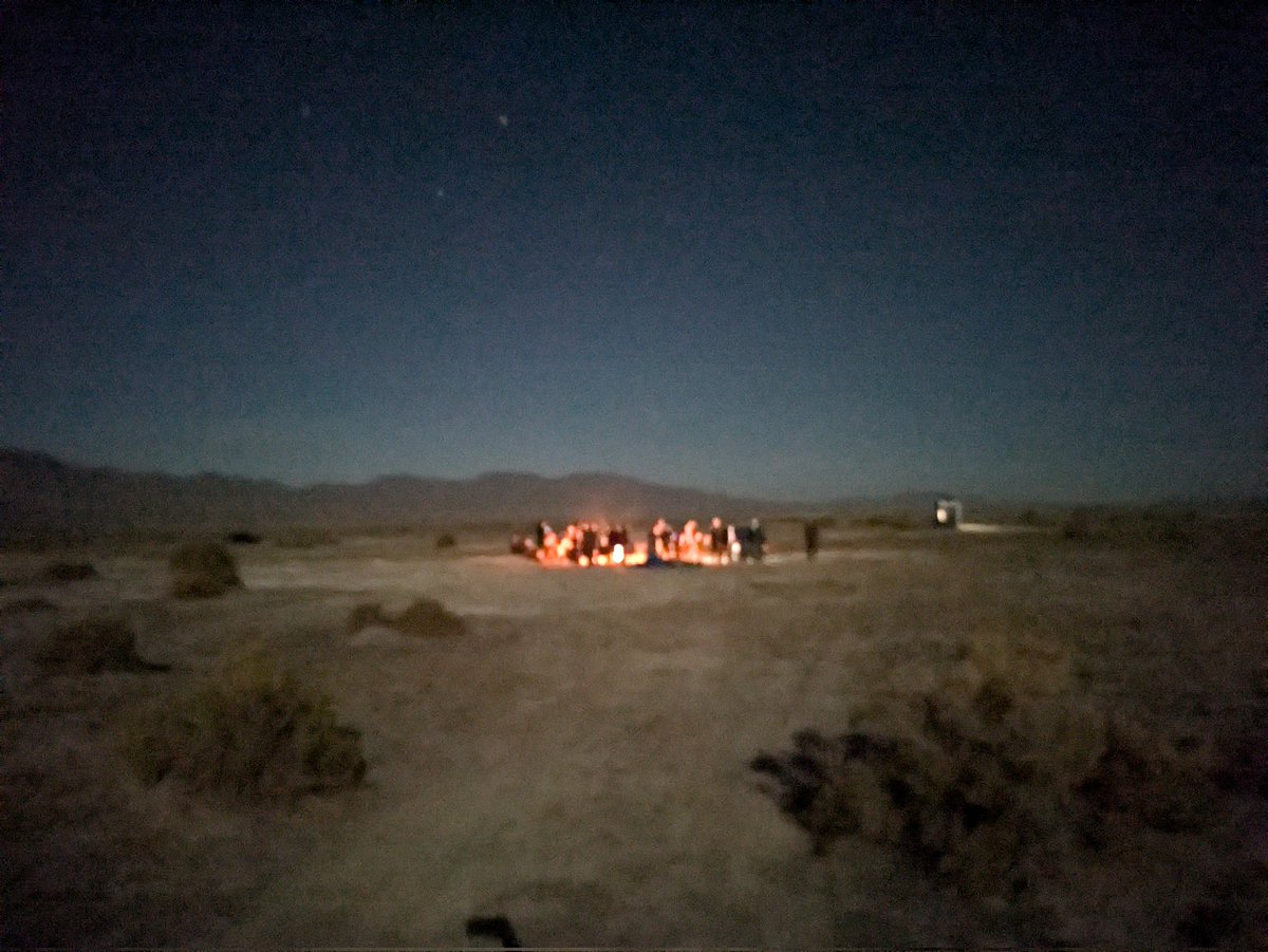
ALT A campfire in the desert
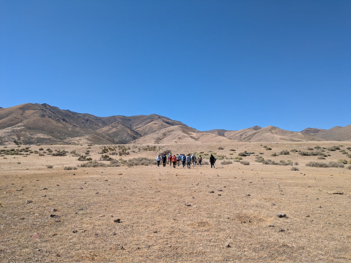
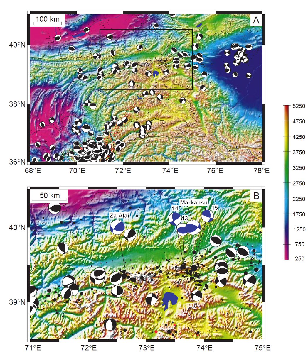
ALT A group of geologists approaching a fault scarp in the desert
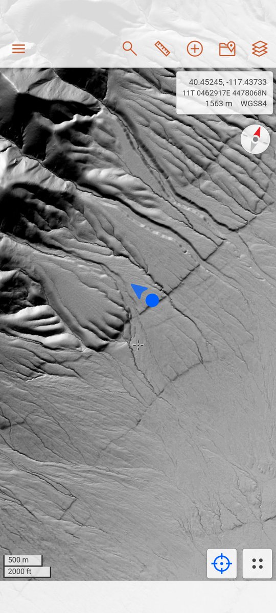
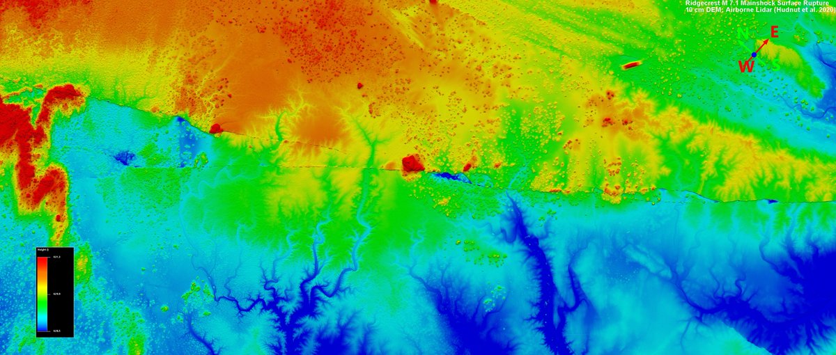
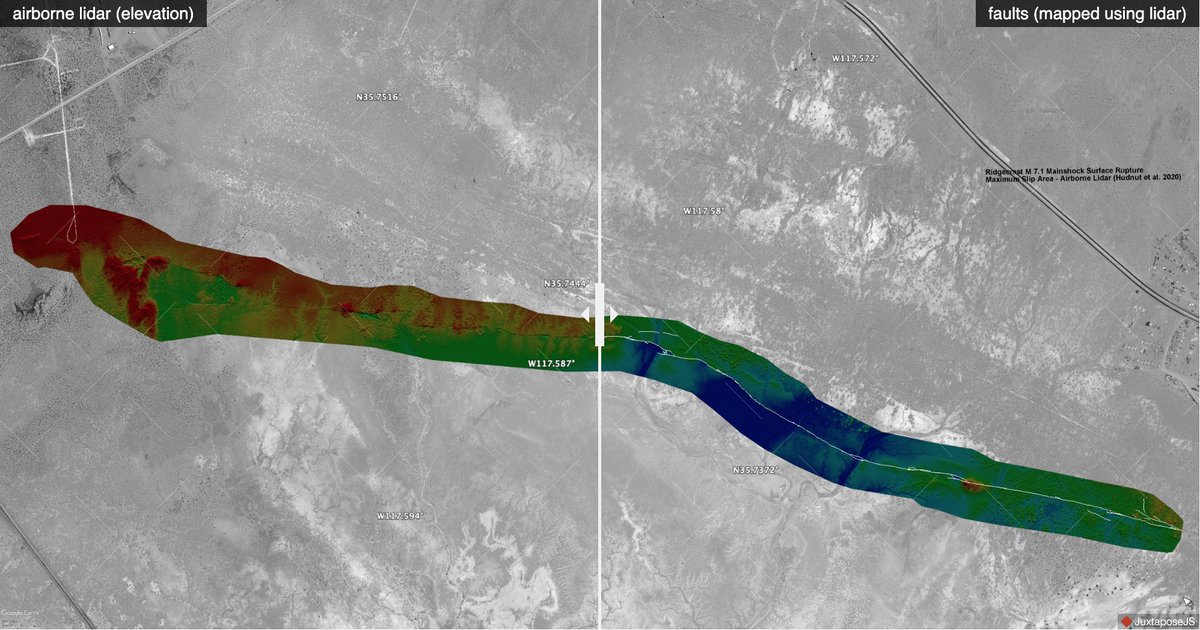
ALT Fault scarp in a digital elevation model

ALT Nine geologists in front of a poster

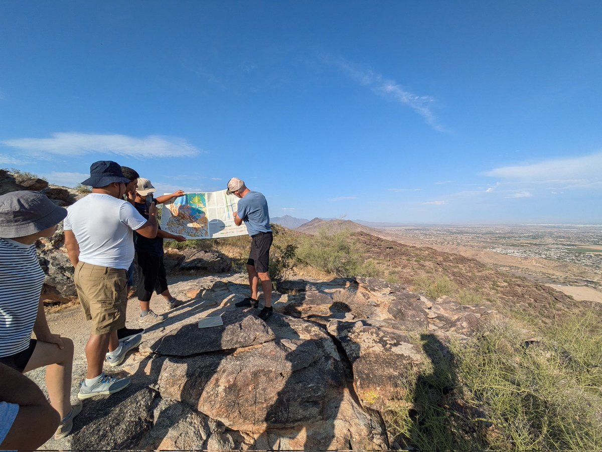
ALT Geologists looking at a geological map on top of a mountain


ALT Seven researchers in front of the university entrance
ALT White Sands, NM map of topographic change from two airborne lidar datasets.

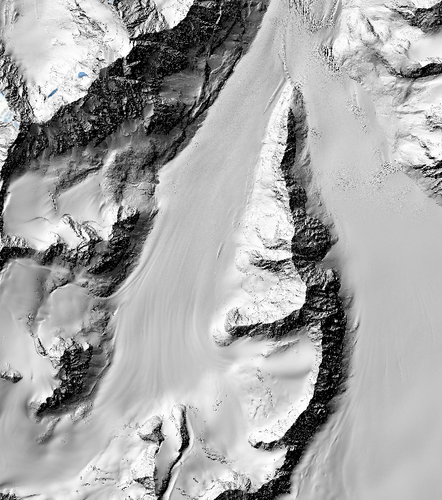
ALT Hillshade of a portion of the Eklutna Glacier.
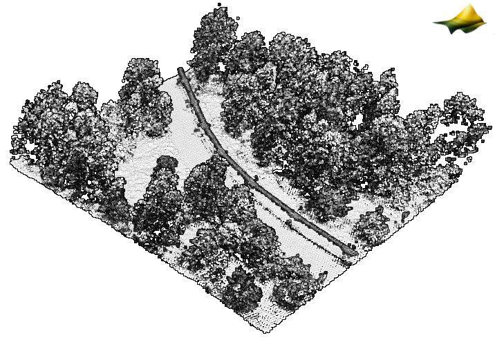
ALT 3D point cloud colored by intensity of the Trans-Alaska pipeline.
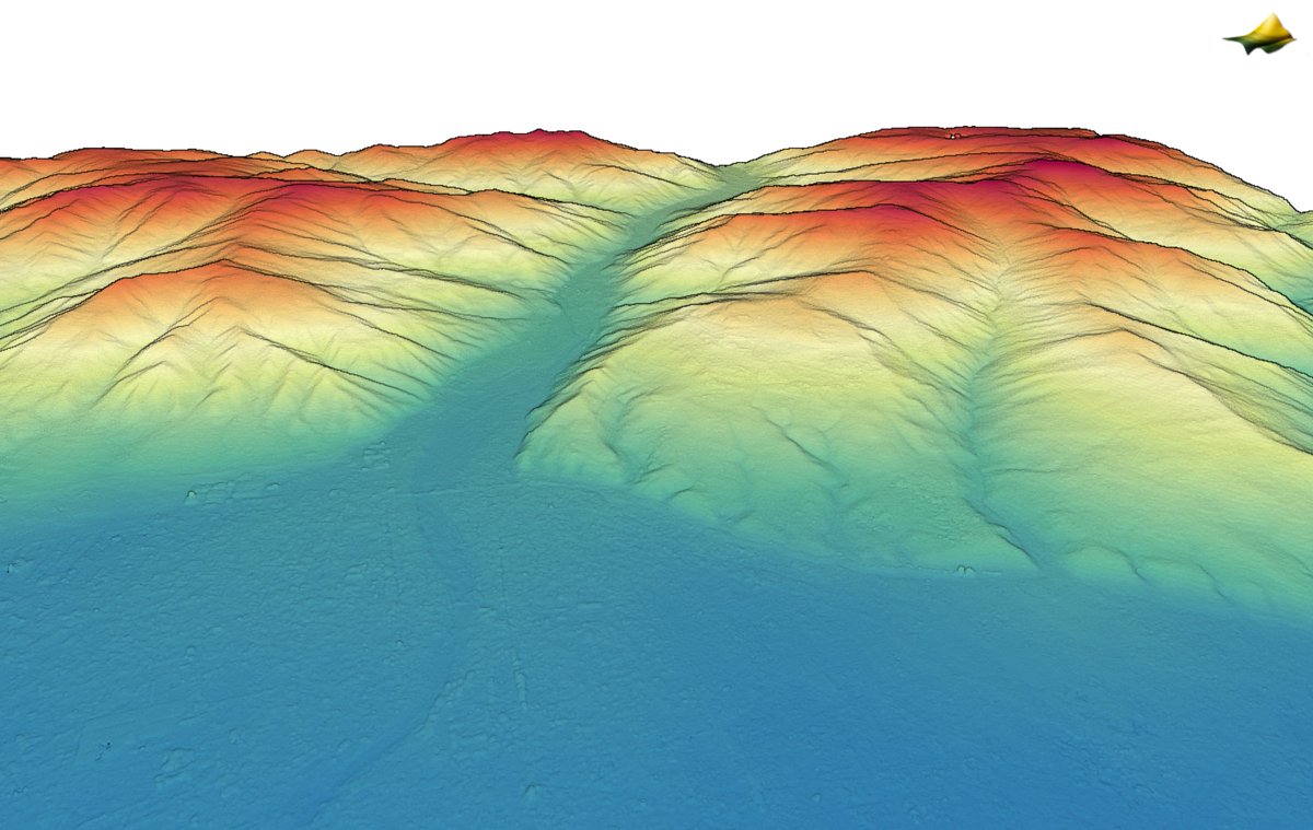
ALT Point cloud colored by elevation over Agsu, Azerbaijan
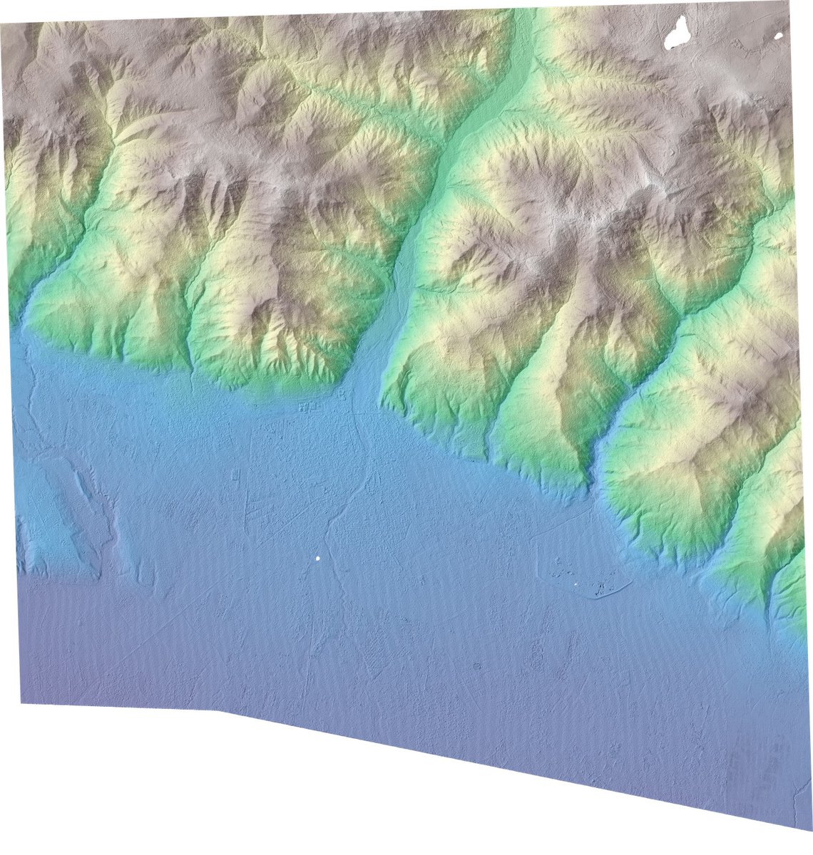
ALT 1m digital surface model hillshade over Agsu, Azerbaijan colored by elevation.

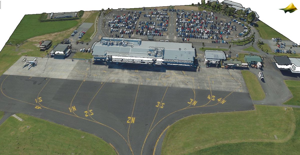
ALT 3D point cloud colored by aerial imagery RGB values of the Hamilton, New Zealand airport (HLZ).
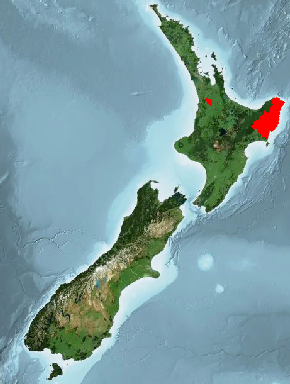
ALT Spatial coverage of new LINZ datasets highlighted in red.
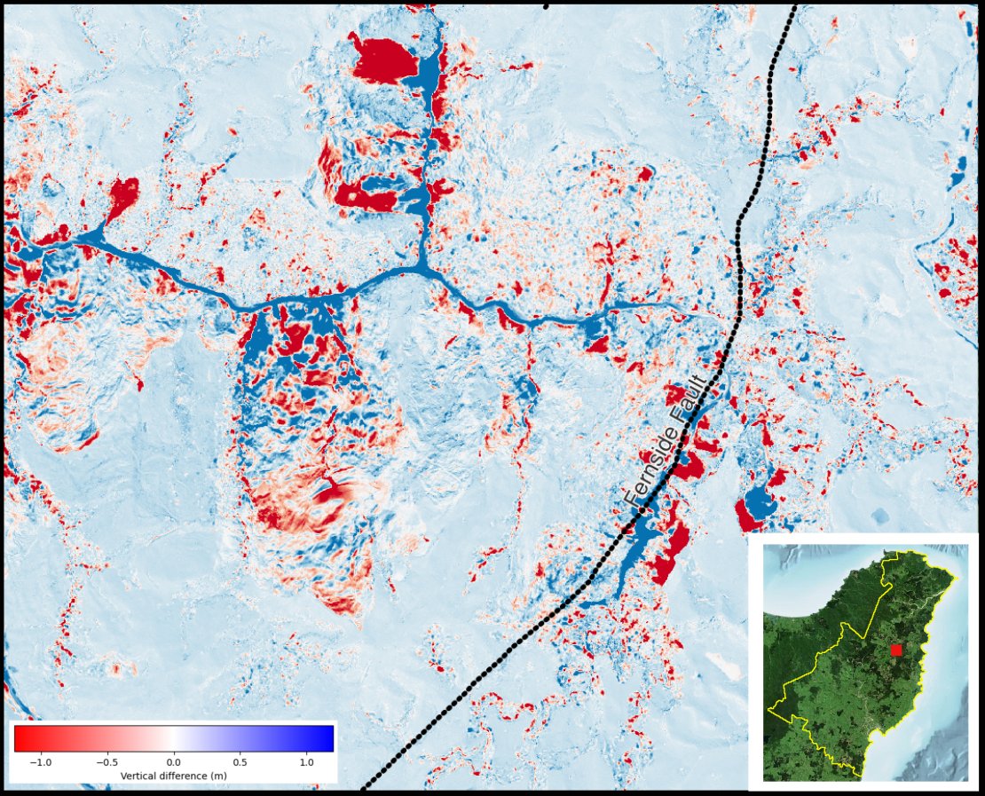
ALT Difference map between the ground surface in Gisborne, New Zealand 2023 and Gisborne, New Zealand 2018-2020 near the Fernside Fault. Differences range from -1 m (dark red ) to 1m (dark blue). Note the large landslide / mass movement events in the upper part of the image.