
Tweeting about diffuse reflectance spectroscopy for soil science and updates from USDA NIFA FACT CIN Soil Spectroscopy for the Global Good project
Joined December 2020
- Tweets 355
- Following 52
- Followers 825
- Likes 143
4 Photos and videos

It is great to see the OSSL being used in so many applications.
Selecting the right samples rather than more samples: A new spectral–e... sciencedirect.com/science/ar…
3
107
1
93
More evaluation of low‐cost Vis–NIR spectrometers - combination of two sensors works nearly as well as lab-grade instruments...
bsssjournals.onlinelibrary.w…
2
135
Neat paper emulating various low cost sensors using the LUCAS VisNIR spectral database - conclusion: sensors that cover the later part of the NIR range are much better than those that only cover the lower wavelengths
bsssjournals.onlinelibrary.w…
1
1
3
119
Application of calibration transfer techniques between different mid‐infrared spectrometers/modules to improve accuracy in estimating soil properties in @sssajournal
acsess.onlinelibrary.wiley.c…
1
123
Combining digital microscopy with VNIR spectroscopy to estimate aggregation
sciencedirect.com/science/ar…
78
Soil Organic Carbon Prediction Using an Efficient Channel Attention‐Enhanced CNN‐LSTM Model With LUCAS Spectral Library
bsssjournals.onlinelibrary.w…
4
179
MIR spectroscopy was used as a diagnostic tool to better understand what each Pyrogenic Carbon method was actually isolating.
9 Sep 2025

Interested in fire-derived carbon in soils? Interested in how to quantify this pyrogenic carbon? Read on...
sciencedirect.com/science/ar…
7
365
Nice paper by a great team working across multiple soil spectral libraries to produce quality predictions from field measurements - good harmonization & standardization methods are the key
sciencedirect.com/science/ar…
1
7
189
Effective spectral pre-processing methods enhance accuracy of soil property prediction by NIR spectroscopy
link.springer.com/article/10…
1
3
185
soilspec retweeted

20 Jul 2025
workforcenow.adp.com/mascsr/…
We're looking for a talented data/code wrangler to join our rangeland carbon research program to understand the climate benefits of regenerative grazing practices across millions of acres of grasslands.
5
16
759
Proficiency tests for soil analysis services via proximal sensing
sciencedirect.com/science/ar…
1
8
169
A must read by Wadoux & Ramirez-Lopez. Uncertainty of predictions in absorption spectroscopy sciencedirect.com/science/ar…
5
110
Exploring Generative Artificial Intelligence and Data Augmentation Techniques for Spectroscopy Analysis | Chemical Reviews pubs.acs.org/doi/full/10.102…
1
2
131
soilspec retweeted

24 Jun 2025
After almost 3 years of data preparation, testing, optimization, we have finished the v1 of the 30 m resolution global #soilcarbon density, soil carbon content, pH, texture fractions, bulk density and soil types (USDA subgroups). Soil carbon and soil pH are mapped as dynamic soil variables for 5-year intervals; soil texture fractions, bulk density and soil types as static vars. The preprint of the paper is at: doi.org/10.5194/essd-2025-33…
Maps are available under CC-BY license #OpenData as COGs from: github.com/openlandmap/soild… (almost 6TB of data).
Our results show that #landdegradation & intensive urbanization leads to losses in SOC; in some places these losses are significant. Although the uncertainty of the predictions is still relatively limited, we believe that investing in processing #Landsat archive and investing in harmonizing soil laboratory data was worth the effort.
But this is just a start! We plan to update predictions and build a community of users and developers (compatible with the Open Soil Spectral Library @soilspec and similar initiatives) around this initiative. If you spot an issue or artifacts please report using Github link. If you are curator of the soil laboratory data and soil observations, please share your data with us, so we can make even more accurate #worldsoildata for everyone.
PS: If you are at #LPS25 please find us for a demo of the predictions and data use tutorial.
2
21
83
3,421
More deep learning applied to the LUCAS spectral database... GhostNet and soil pH
journals.plos.org/plosone/ar…
1
139
soilspec retweeted
13 Jun 2025
From the editorial board at @JBiogeochem "As global citizen scientists, we must therefore continue to advocate for the value of science" link.springer.com/article/10…
1
5
10
769
Pedological features affecting carbon accumulation in submerged-soils using VNIR spectroscopy...
sciencedirect.com/science/ar…
2
82
Fantastic free resource from the @FAO Global Soil Partnership led by Alexandre Wadoux et al. - A course on applied data analytics for soil analysis with infrared spectroscopy
openknowledge.fao.org/handle…
9
21
711
soilspec retweeted
9 Apr 2025
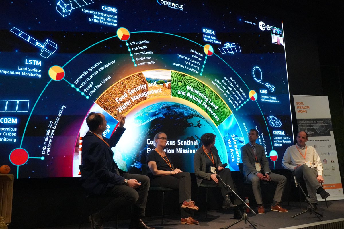
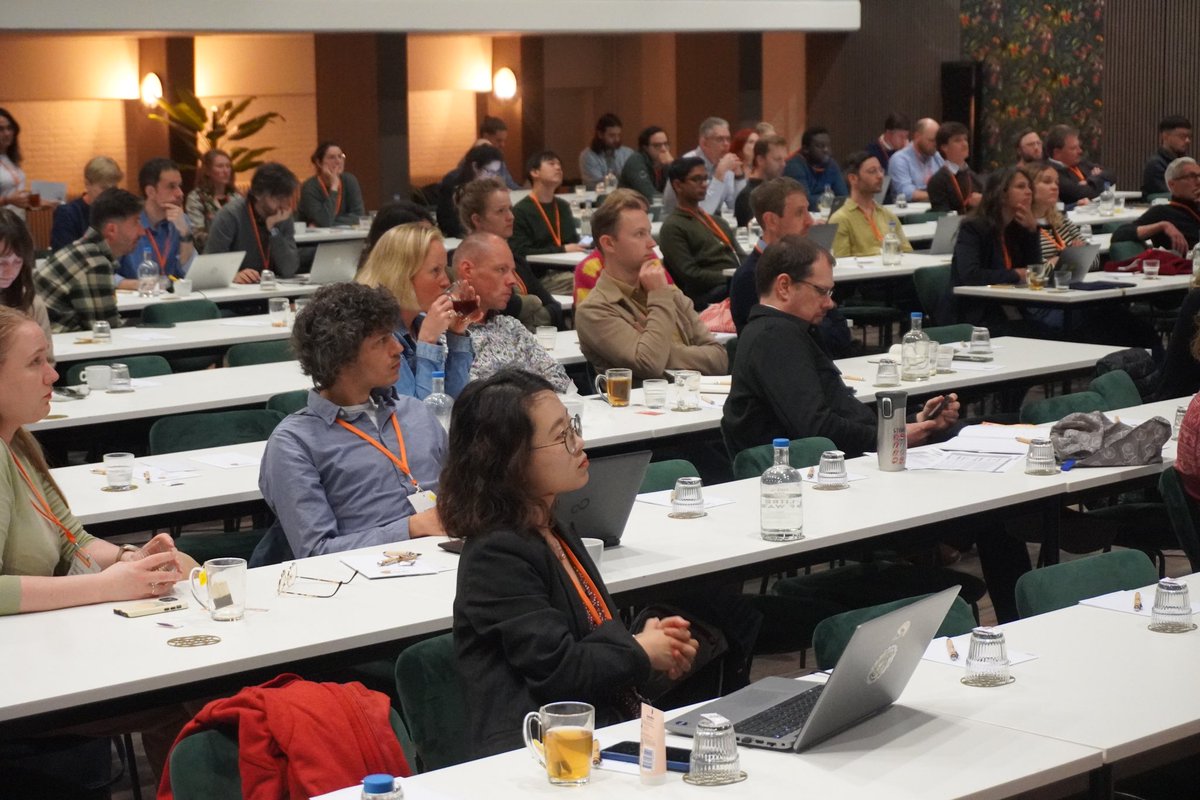
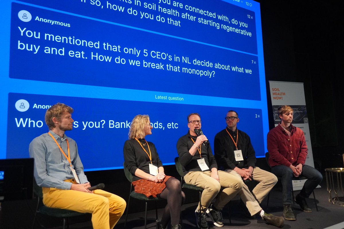
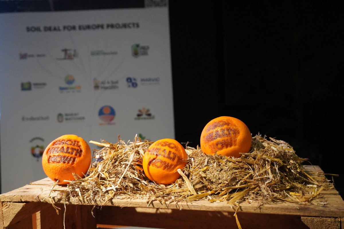
🟠Day 2 Wrap-Up from the #SoilHealthNow! Conference: A Deep Dive into Europe's Innovation Paradox 🌍💡
🌾During yesterday’s panel on The Soil Data Revolution: How Earth Observation, Spectroscopy, and AI are Changing Soil Use Forever, experts showcased how cutting-edge technologies are transforming soil management, providing more accurate and real-time data, helping land managers make informed decisions and revolutionizing our approach to sustainable agriculture.
🌳The second day of the event took a compelling turn as we tackled an important discussion: Why is Europe so poor at startups, especially in the field of soil health and sustainability?
As we look toward the final day of this conference, the conversation around soil health and innovation continues to evolve. The insights gained today will undoubtedly fuel future discussions on how Europe can better support startups, particularly in the critical field of sustainable land management.
📹Stay tuned for the video-recordings of the sessions!
🌐 Discover the conference lnkd.in/edaGR_E9
🍊Thanks to all the speakers and attendees for another fantastic day of learning, sharing, and challenging the status quo through theoretical and practical sessions!
@AI4SoilHealth @prepsoil @Health2022Soil @SoilValues @InBestSoil1 @DeliSoilEU @Waste4Soil @SoilWiseproject @DigitSoil @aberdeenuni @planet
2
12
785