Morning all. This account is now hibernating, indefinitely. You can find me in other places, should you wish. I hope to return, should better days come.
Meanwhile, thank you for everything. All the best!
'Liable to Floods'. Farmland in the 1840s, #PenningtonFlash now, caused by mining subsidence. The inundated land included "Urmston's in the Meadows" moated farmhouse, abandoned in about 1910. #Leigh#Lowton#Lancashire#MapMonday
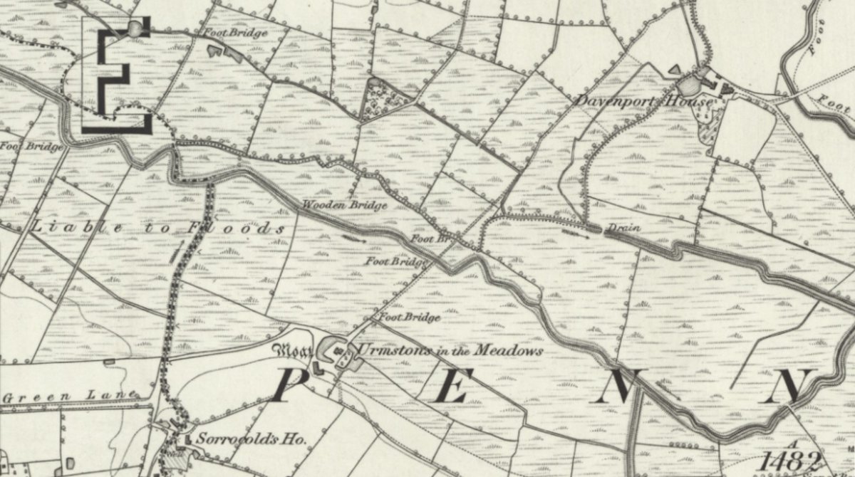
ALT A detail from a black and white map showing farmland 'Liable to Floods'. Ordnance Survey Lancashire sheet 102, surveyed 1845-7. National Library of Scotland.
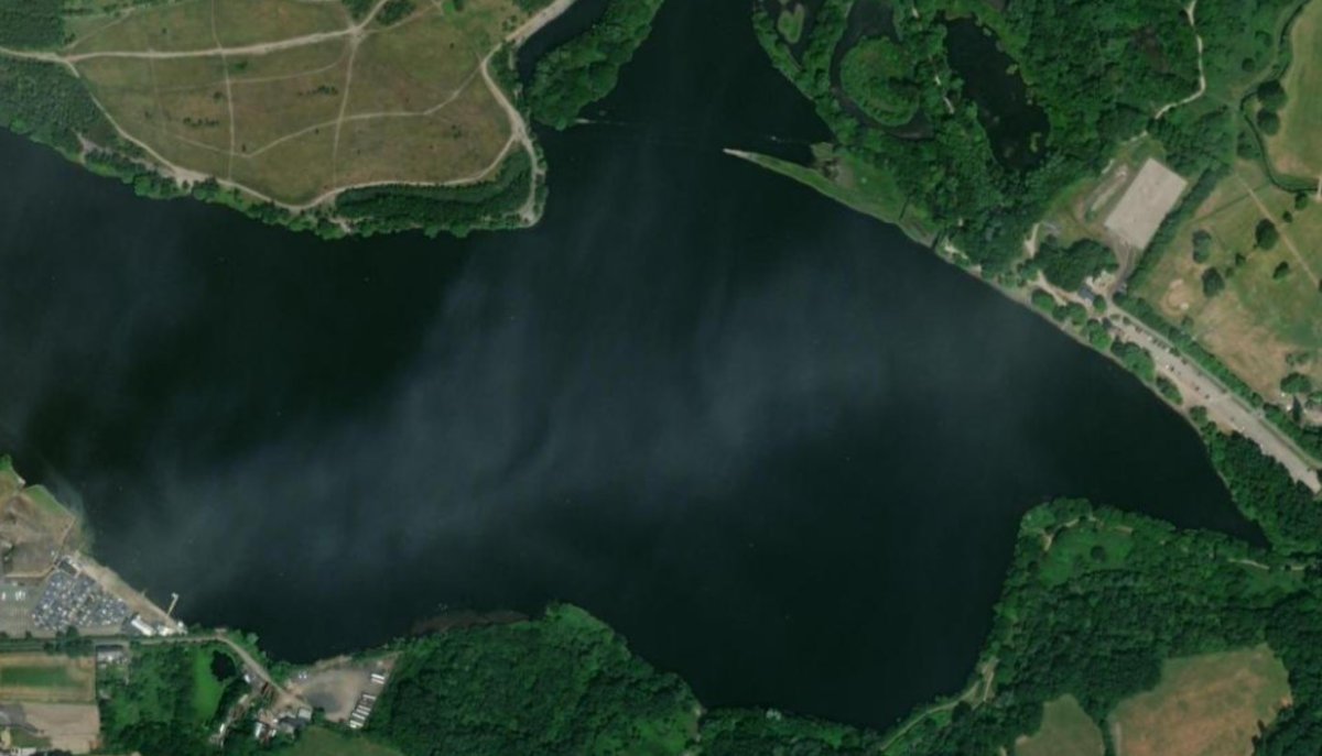
ALT Satellite image of Pennington Flash, via National Library of Scotland.
St. Andrew's Church, #Southport, photographed from Yellow House Lane in 1965...and the same view in 2020. The church was demolished in the mid 1970s, having stood 100 years. #SteepleSaturday#Lancashire#ThenAndNow
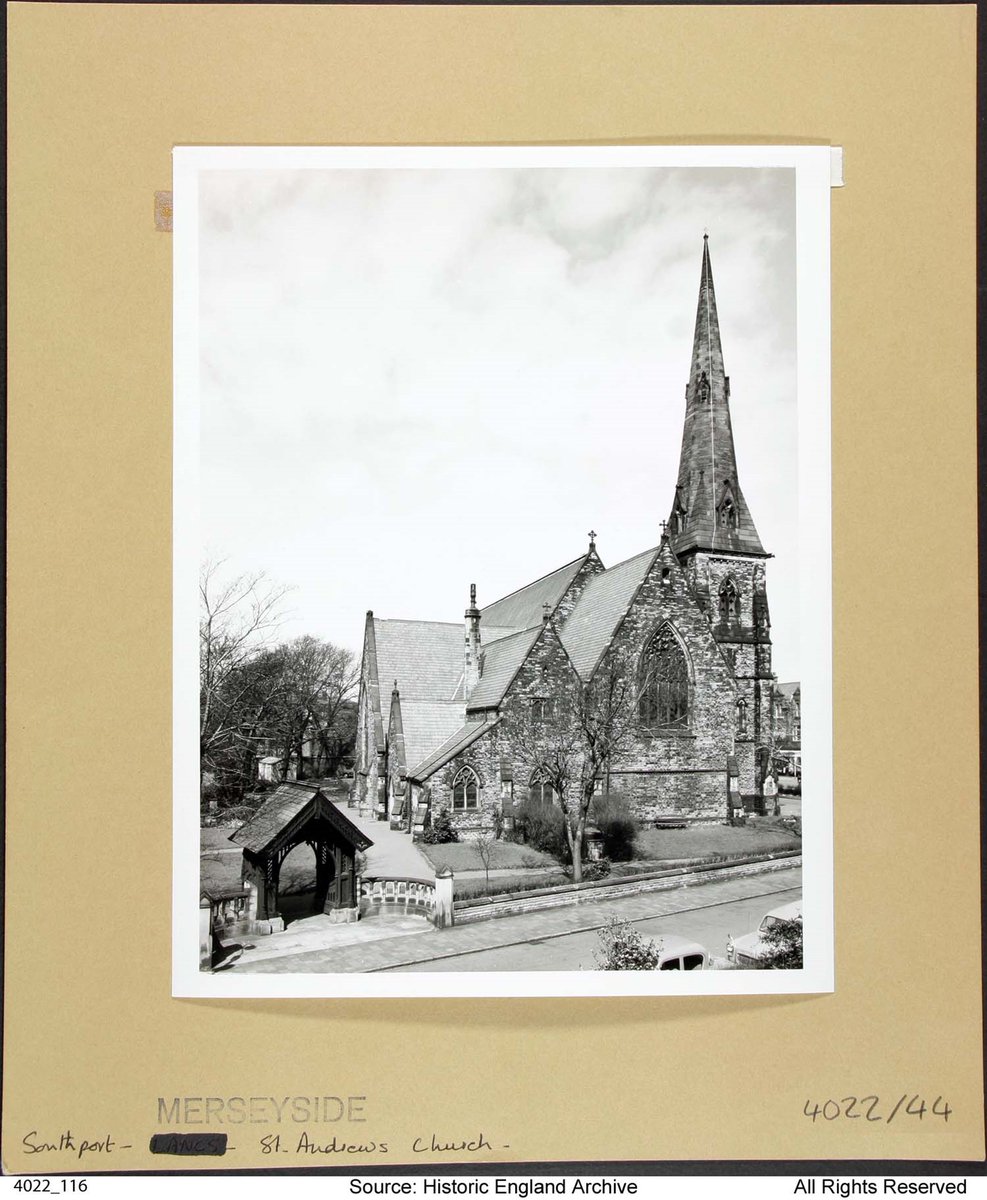
ALT A black and white photograph of a medium sized Victorian church with a prominent steeple. Historic England Archive 4022_116, from the England's Places collection.
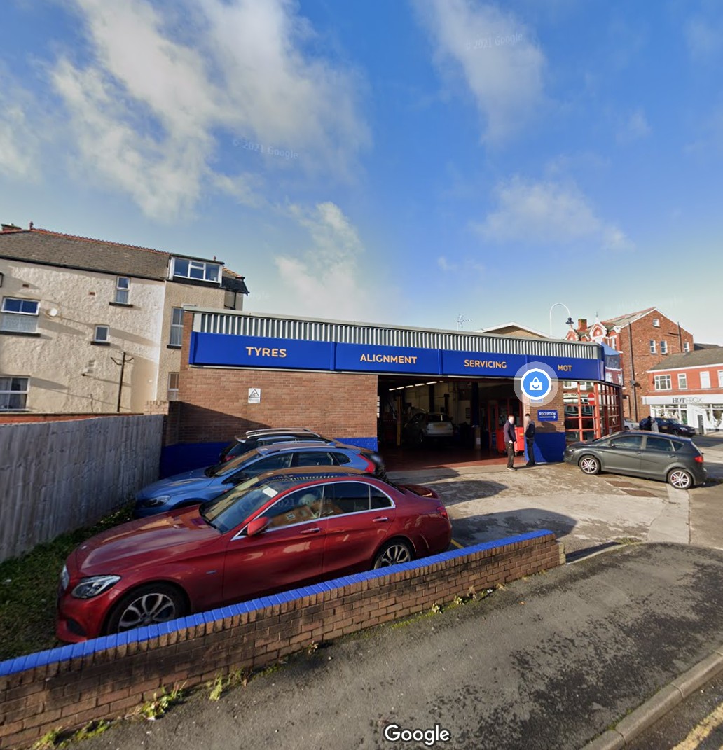
ALT A colour photograph of the side of a Kwik Fit garage. Google Street view, November 2020.
The Horseshoe Inn, facing the village green at #Levisham, on the #NorthYorkshire Moors. It's a quality pub & makes a great halfway house for a loop walk across the moors & back through the Hole of Horcum. Sometimes cut off during snow. #PubFrontFriday
📷 My own.
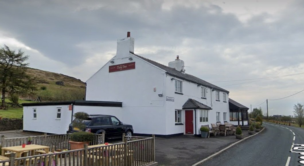
ALT A low, detached, two storey building with a red tiled roof. 'The Horseshoe Inn' is written on the upper storey, in the middle.
The C13 font @pborocathedral, made from Alwalton marble. Thrown out at some point (perhaps during the Civil War) & rediscovered in a nearby garden in the 1820s. The Cathedral announced this week it is in financial crisis, needing £300k urgently. #FontsOnFriday#Peterborough
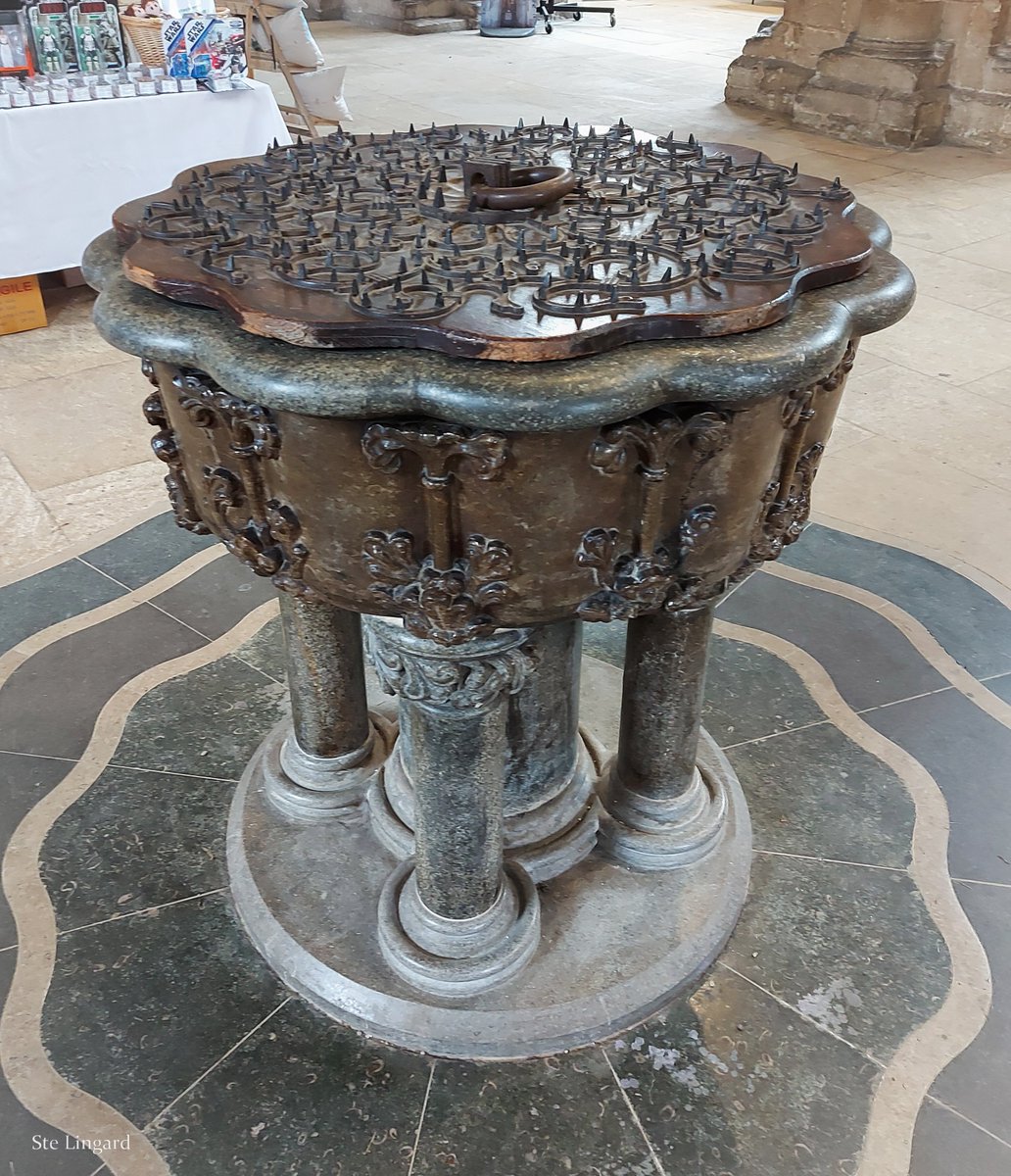
ALT A colour photograph of an ornate font, set on a marble floor. For information about the floor, see: https://www.stwhitesstone.co.uk/peterborough-cathedral-font/
For more on the financial crisis, see: https://www.peterborough-diocese.org.uk/aboutus/news/cathedralincrisis.php
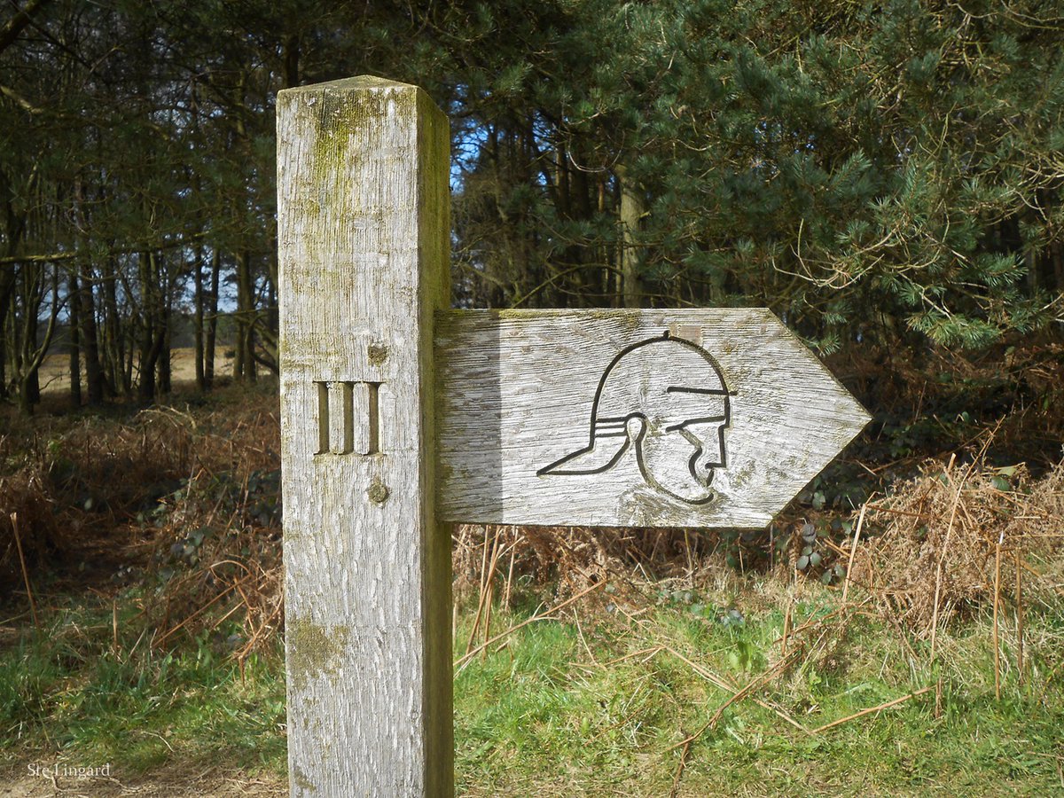
ALT A photo of a wooden fingerpost, with 'III' marked on the post and an icon of a Roman soldier's head on it's sole finger, which points to the right.
A slice of simple Georgian elegance in the heart of #Sheffield: main entrance to 14 Paradise Square, one of a terrace of five houses (now offices) from circa 1736. Grade II* listed. Pic my own, from a gloomy day in 2013. #Yorkshire#AdoorableThursday
ALT An elegant blue door in a Georgian doorcase, with a lamp hanging above. A sign reads 'Paradise Square' above it and too the right.
Thank you to @jpwarchaeology for a fascinating talk in #StHelens last eve, & being an all-round trouper. Thanks also to everyone who joined us, & especially @bob_bellis for his help. A big cheers to Katie, Mark & Aston @TheWorldofGlass, too, for all that they did. #Archaeology
A huge thanks to @stelingard for arranging last night's shindig in St Helens - absolutely perfect way to start off the 2025 tour. Big thanks to the staff @TheWorldofGlass too for a great venue and the after hours tour of Tank House No. 9.
Now, onwards to Chester...
Looking forward to speaking @TheWorldofGlass in St Helens tomorrow as part of a Mythbusting book tour event organised by @stelingard Part of the talk will look at burn marks... often assumed to be accidental but now thought to ward off evil
Tickets:
eventbrite.co.uk/e/historic-…
The church of St. Mary, #Lastingham, #NorthYorkshire Moors. Founded 1078 on the site of a 7thC monastery that had been destroyed by the Danes. Bede wrote: "among some remote hills...more suitable for the dens of robbers & haunts of wild beasts than for human habitation".
📷 Mine.
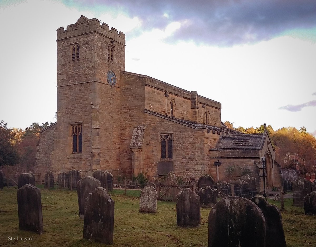
ALT An old church building set in a graveyard, with a gloomy sky beyond.
The solid and dependable Hare & Hounds, Longshaw, #Billinge, right on the #Wigan / #StHelens Borough borders. A welcome sight when walking 10 mile loops through the countryside between the two. #PubFrontFriday#Lancashire
📷 My own, 2024.
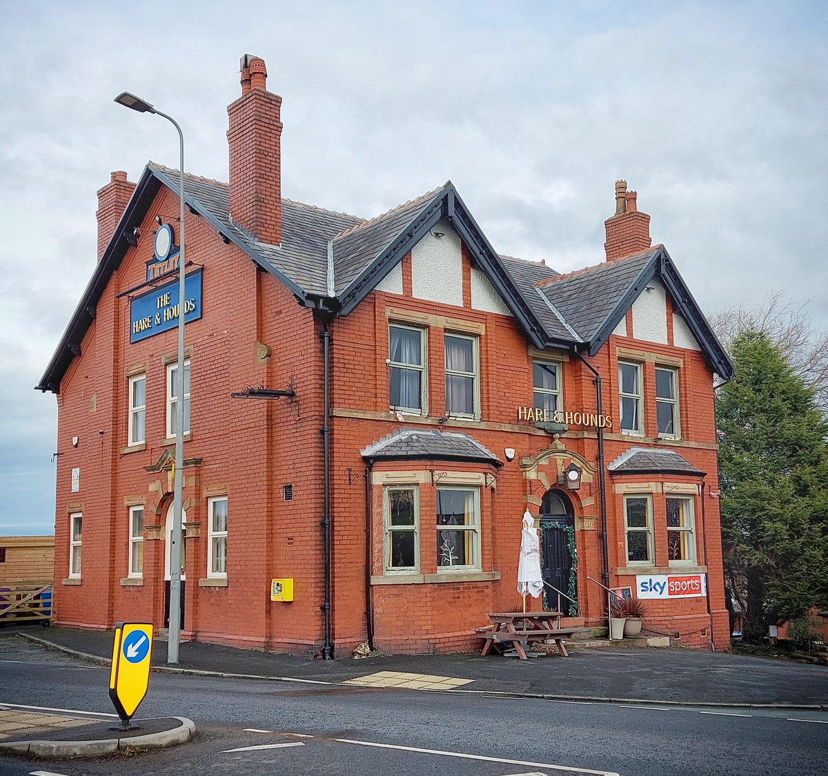
ALT A colour photo of a large, detached redbrick pub, with 'Hare & Hounds' above the door, and 'Thwaites...The Hare & Hounds' on the side.
Startham Hall once stood here, above Carr Mill Dam. It was demolished in the middle of the last century. Just some rubble & a shape in the lane remains. The arrows on the modern aerial & circa 1900 OS map show the location. Photo my own, from yesterday. #StHelens#Lancashire
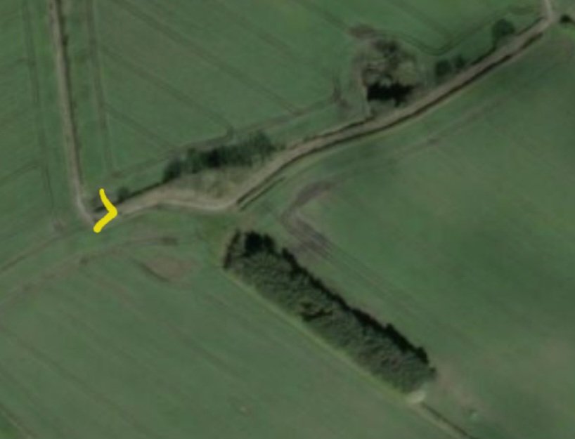
ALT Satellite view via National Library of Scotland.
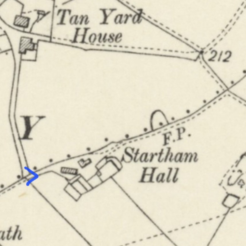
ALT Detail from OS map from the turn of the 19th / 20th century, via National Library of Scotland.
"The stone marking the boundary of the two parishes [Holy Cross & St. Giles, Abbey Foregate & St. Julian #Shrewsbury] which formerly stood on the Old English or Stone Bridge demolished in 1774." Now on a plinth on the town side of the new bridge. #Shropshire#Boundaries
📷 My own
ALT A large boulder on a plinth, with a plaque on the front. There is a fence and some wheelie bins in the background. Photo from August 2024.
Caste Steads promontory fort, overlooking the #RiverIrwell, just north of #Bury, as mapped by the OS in 1850. Excavation has produced evidence of occupation from the 5th century BCE to the 2nd CE. Subsequent OS maps don't show it. #HillfortsWednesday#Lancashire
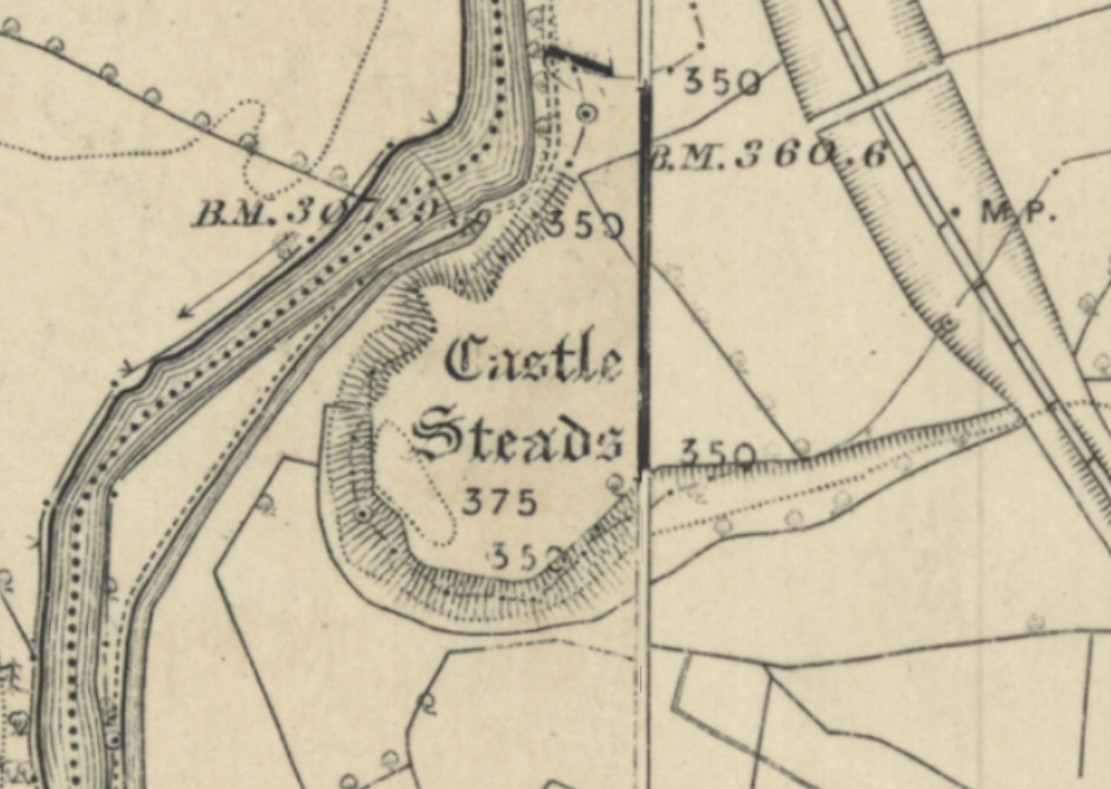
ALT Detail from OS Lancashire sheets 87 and 88, surveyed 1844-47 and published in 1850/51, via National Library of Scotland. For more detail on the site, see: https://lancashirepast.com/2021/01/09/castlesteads-iron-age-fort-bury/
Detail from one of a series of epic wall mosaics in the nave's north aisle @ChesterCath, this one depicting Moses - armed to the teeth with Commandments. Designed by JR Clayton, made by Burke & Co., 1883-6. #MosaicMonday#Cathedrals#Cheshire#Chester
📷 My own.