
Geological Survey Ireland, Groundwater flooding, Climate Change, Earth Observation, Opinions are my own.
Joined June 2011
- Tweets 16
- Following 169
- Followers 58
- Likes 44
Photos and videos
Ted McCormack retweeted

29 Sep 2022
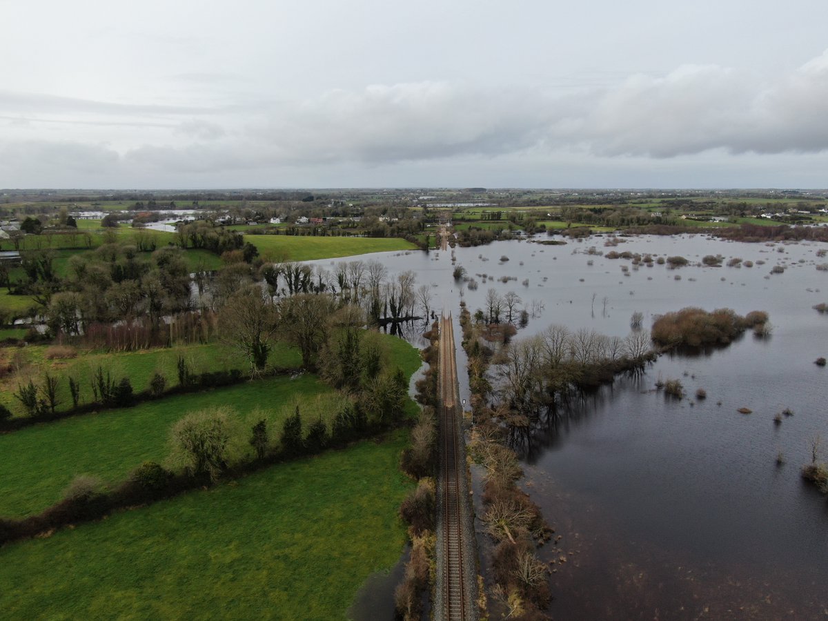
New research by @GeolSurvIE and @SETUIreland Ireland just released. We used @CopernicusEU Satellite Imagery to map annual maximum flood extents at a national scale. Access the research paper here: authors.elsevier.com/a/1fq8e… (1/3)
1
5
18
Ted McCormack retweeted
Check out this small spring bubbling up and slowly filling Castlehacket Turlough in County Galway. The video was taken during last weeks heavy rain @GeolSurvIE #GWClimate
8
42
Ted McCormack retweeted

15 Jul 2020
Geological Survey Ireland @Dept_CCAE releases groundwater flooding maps and live turlough data service. Better understanding of groundwater flooding in midlands and west should lead to better planning.
gsi.ie/en-ie/events-and-news…
30
54
Ted McCormack retweeted
28 Apr 2020
Check out our #EGU2020 presentation on remote sensing for monitoring and mapping #groundwaterflooding in Ireland @GeolSurvIE @Dept_CCAE #Sentinel1
👉meetingorganizer.copernicus.…
🎬 Groundwater flood depths and levels in Ireland during 2015-16 flooding event
17
34


24 Jan 2012
@CatHatesPeople @philkuda. Well if Twitter would allow more than 140 bleeding letters I would have perfect grammer. #Twitterisdung
24 Jan 2012
@CatHatesPeople @philkuda. Your both jealous. Just cause I could navigate myself out of a labyrinth, backwards. Blindfolded and with no legs
1