


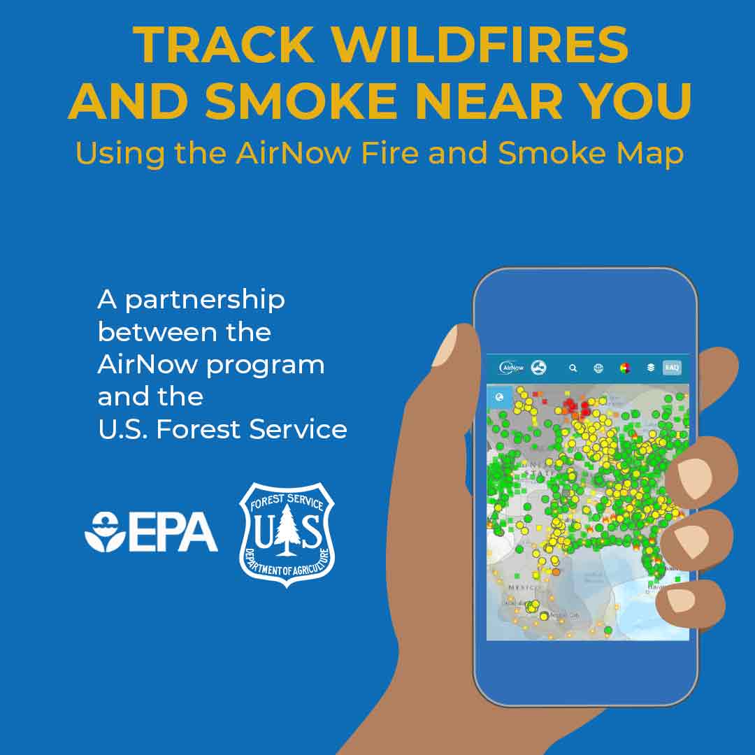
ALT "Track Wildfires and Smoke Near You Using the AirNow Fire and Smoke Map. A partnership program between the AirNow program and the U.S. Forest Service." A hand holding a smartphone using the AirNow app with the Fire and Smoke Map on the screen. EPA logo and U.S. Forest Service logo.

ALT Chequee los incendios y el humo cerca de usted usando el Mapa de Incendios y Humo de AirNow. Una asociación entre AirNow y el Servicio Forestal de EE. UU.” Una mano sosteniendo un teléfono inteligente utilizando la aplicación de AirNow con el Mapa de Incendios y Humo en la pantalla. El logotipo de la EPA y el logotipo del Servicio Forestal de EE. UU.


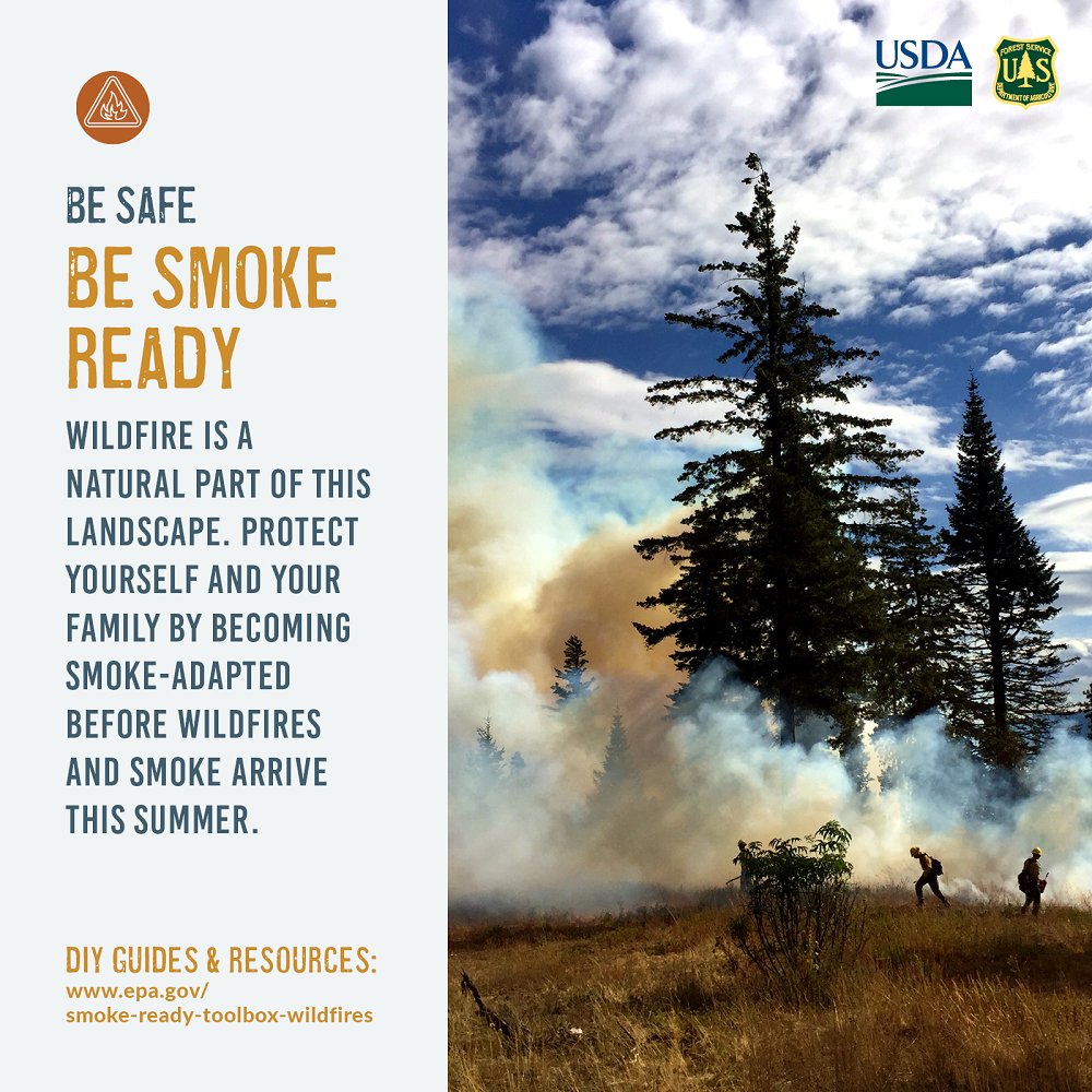
ALT Infographic showing a wildfire burning among pine trees with smoke billowing into the sky and firefighters working on the fire line. "Be safe. Be smoke ready. Wildfire is a natural part of this landscape. Protect yourself and your family by becoming smoke-adapted before wildfires and smoke arrive this summer." DIY guides and resources. www.epa.gov/smoke-ready-toolbox-wildfires. USDA and USFS logos.


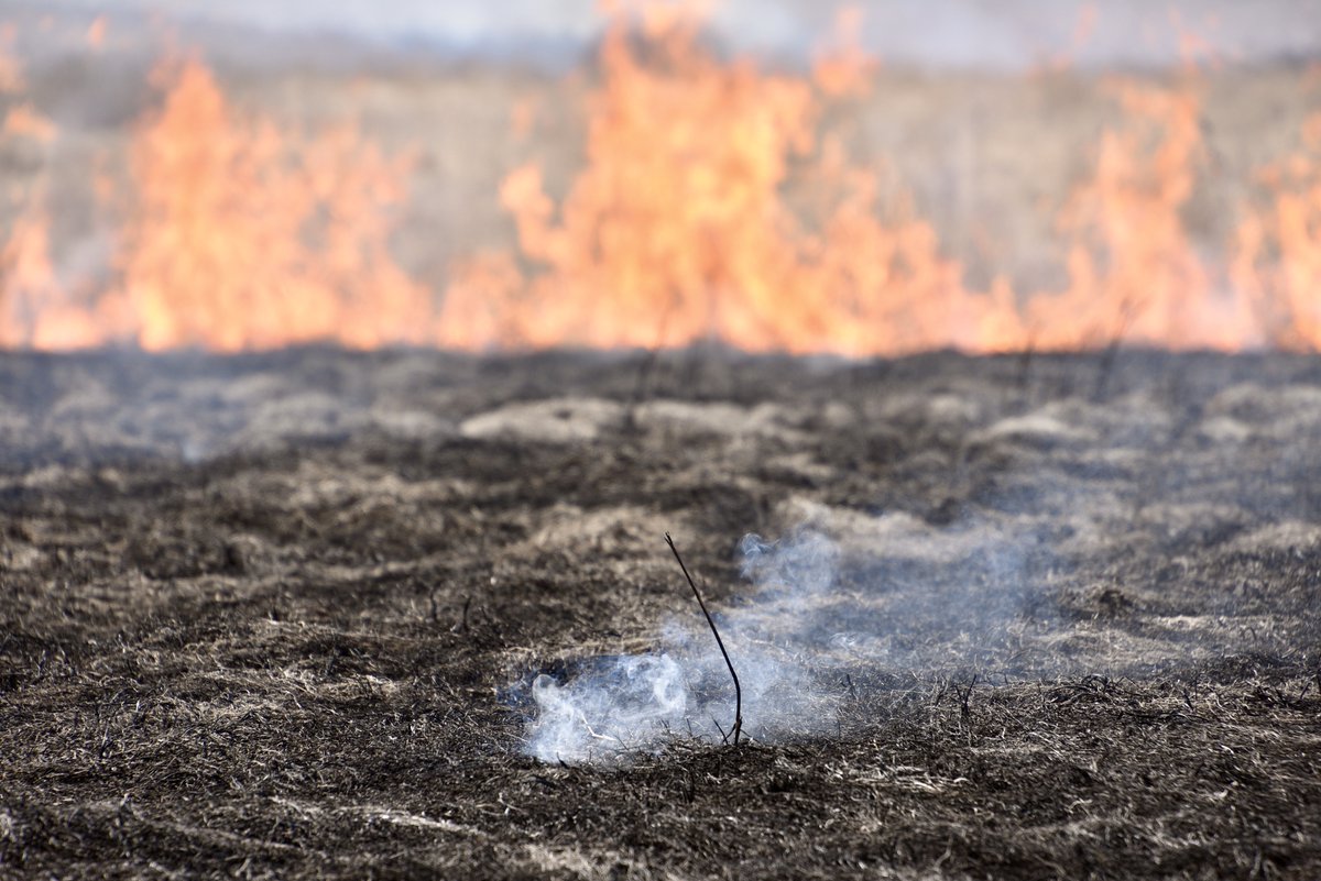
ALT A photo of a smoldering field that was burned as part of a controlled fire.

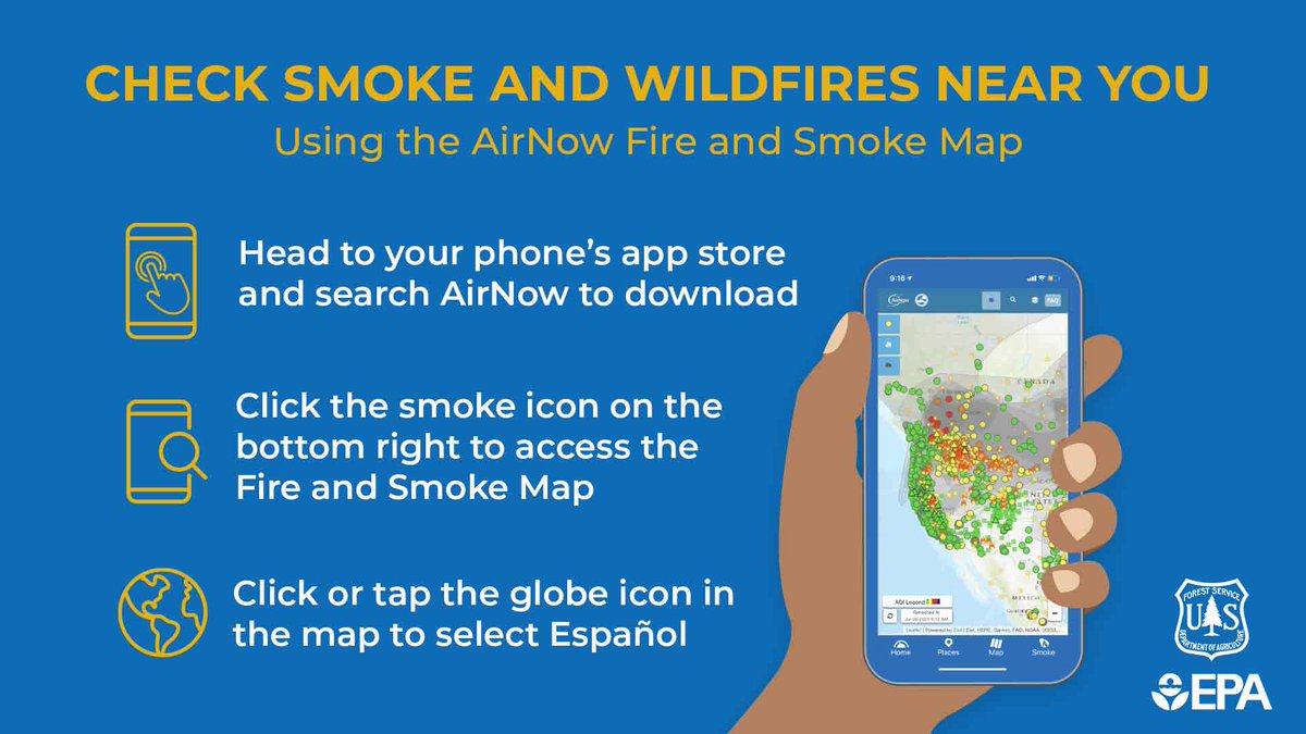
ALT Instructions for downloading the airnow app on your mobile device. Smartphone icon: "Head to your phone's app store and search AirNow to download. Fire icon: "click the smoke icon on the bottom right of the app." Smartphone and magnifying glass icon: "zoom in or search for your city or zip code for smoke and fire information near you." Globe icon: "click or tap the globe icon in the top bar to select español". AirNow logo. Interagency Wildland Fire Air Quality Response Program logo.
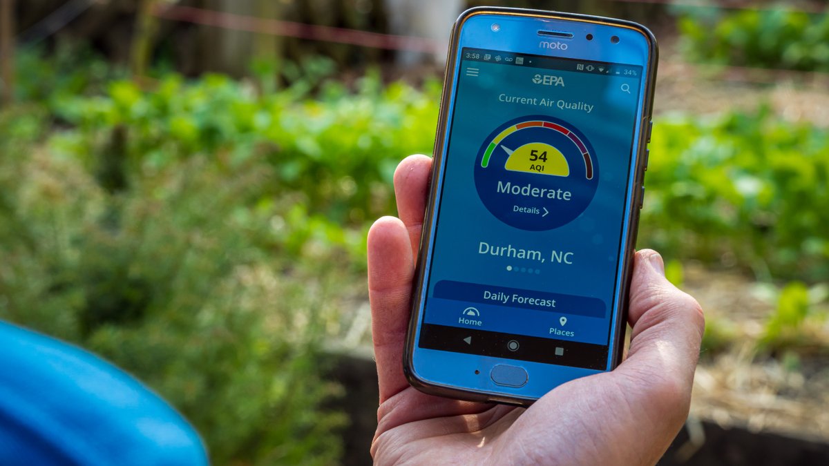
ALT a person holding their phone and looking at current air quality in Durham, NC
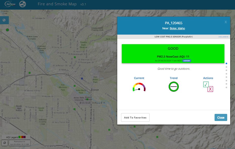
ALT A screen shot of a topographical map overlaid with a blue and white text box that displays air quality conditions, with a green color bar showing good air quality conditions.
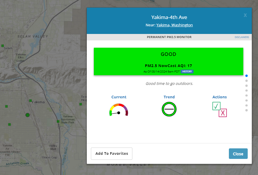
ALT Image of AirNow Fire and Smoke Map with local conditions in Yakima, Washington. The AQI is good (Code Green). Three icons on the inset display the AQI dial, trends, and actions you can take to reduce exposure.
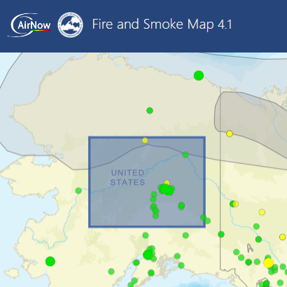
ALT A screenshot of a smoke outlook in Alaska on AirNow's Fire and Smoke Map at approximately noon EST on June 27, 2025. The blue box is the smoke outlook and within its bounds, monitors display codes green and yellow.
ALT "Track Wildfires and Smoke Near You Using the AirNow Fire and Smoke Map. A partnership program between the AirNow program and the U.S. Forest Service." A person uses the Fire and Smoke Map in the AirNow app. EPA and U.S. Forest Service logos.

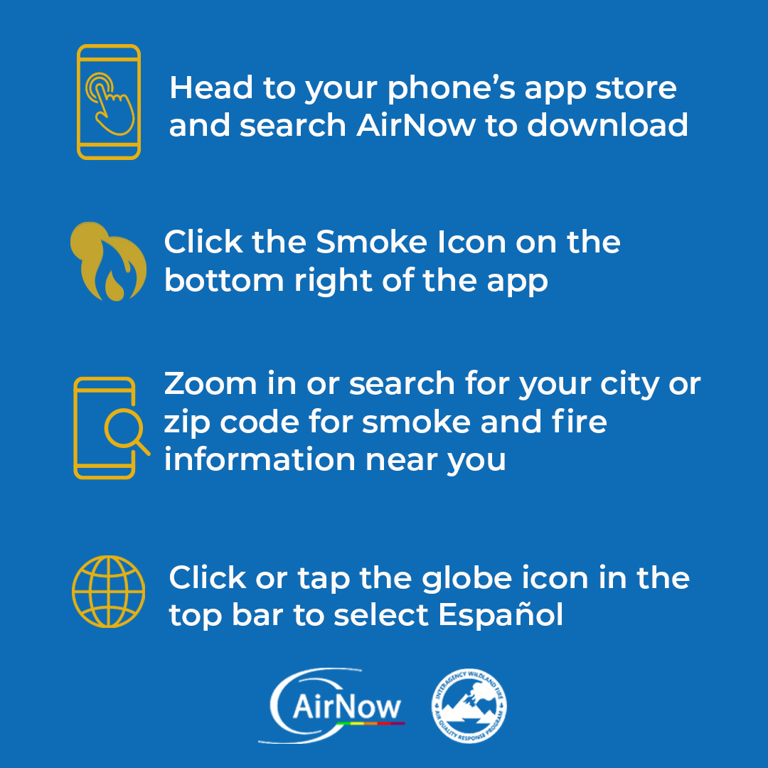
ALT Alt Text: Check Smoke and Wildfires Near You Using the AirNow Fire and Smoke Map. A Hand holding a smartphone using the AirNow app with the AirNow Fire and Smoke Map on the screen. Smartphone with a finger icon. "Head to your phone's app store and search AirNow to download." Smartphone icon with magnifying glass "Click the smoke icon on the bottom right to access the Fire and Smoke Map" Globe icon "Click or tap the globe icon in the map to select Español". EPA and U.S. Forest Service logo in the bottom right.


ALT How to protect yourself & family during a wildfire.
ALT AirNow Fire and Smoke Map at 8:45 a.m. EST on June 11, 2025. Code Purples and Red in Montana and North Dakota, surrounded by code oranges and yellows in the upper Midwest and northern great plains.
ALT "Track Wildfires and Smoke Near You Using the AirNow Fire and Smoke Map. A partnership program between the AirNow program and the U.S. Forest Service." A hand holds a smartphone using the AirNow app with the Fire and Smoke Map on the screen. EPA logo and U.S. Forest Service logo.


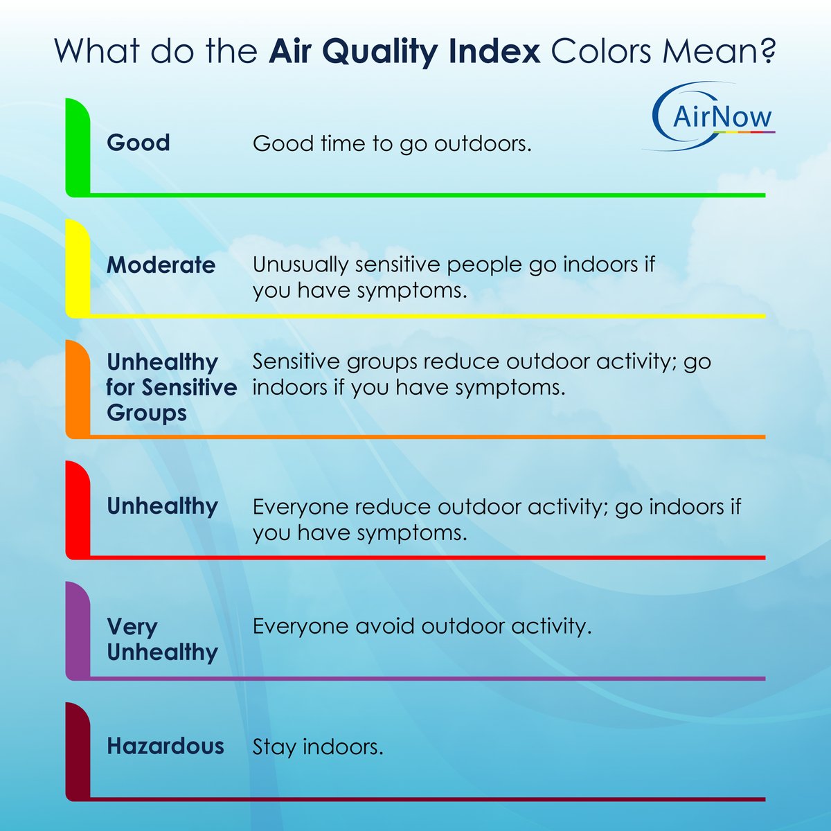
ALT Air Quality Index Graphic with AirNow logo in the top right. "What do the Air Quality Index Colors Mean?" Table of AQI colors and health language, going from Green, Yellow, Orange, Red, Purple, and Maroon. "Good: Good time to go outdoors." "Moderate: Unusually sensitive people go indoors if you have symptoms." "Unhealthy For Sensitive Groups: Sensitive groups reduce outdoor activity; go indoors if you have symptoms." "Unhealthy: Everyone reduce outdoor activity; go indoors if you have symptoms." "Very Unhealthy: Everyone avoid outdoor activity" "Hazardous, Stay Indoors."
ALT A person checking the current air quality in Durham, NC on the AirNow app.
ALT Instructions for downloading the AirNow app on your mobile device. Smartphone icon: "Head to your phone's app store and search AirNow to download. Fire icon: "click the smoke icon on the bottom right of the app." Smartphone and magnifying glass icon: "zoom in or search for your city or ZIP code for smoke and fire information near you." Globe icon: "click or tap the globe icon in the top bar to select español." AirNow logo. Interagency Wildland Fire Air Quality Response Program logo.
ALT "Track Wildfires and Smoke Near You Using the AirNow Fire and Smoke Map. A partnership program between the AirNow program and the U.S. Forest Service" A hand holding a smartphone using the AirNow app with the Fire and Smoke Map on the screen. EPA logo and U.S. Forest Service logo.