
@irishresearch @ahrcpress joint funded. Digitally Remapping Ireland's Ordnance Survey Heritage. @UL @QUBelfast @ULGeog @QUBGeography @irelandmapped.bsky.social
Joined August 2021
- Tweets 1,082
- Following 197
- Followers 1,151
- Likes 2,228
84 Photos and videos


Pinned Tweet

14 Nov 2024
We're gradually migrating to the other platform. If you're going too, please follow us: irelandmapped.bsky.social
3
154
13 Nov 2024
“I have caught a very severe cold, the consequence of my sudden transition from the foggy air of Dublin to the thin and cold air of the Cuailgnian Mountains. If however tomorrow will prove a fine day… I shall venture home..." (JOD, 25th Feb 1836) #OS200
We feel you, John!
3
10
768
13 Nov 2024
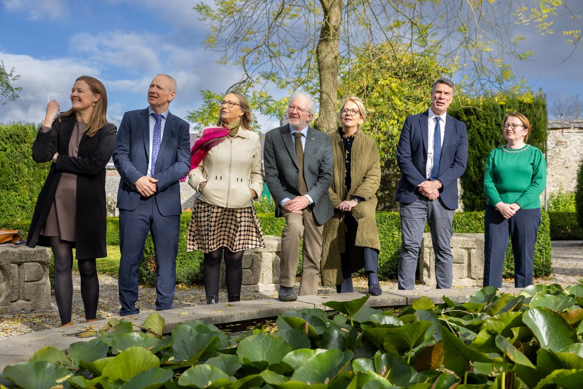
The #OS200 collaborative events continue! Our exhibition will open @PRONI_DFC on 21st Nov with a series of in-person talks in cooperation with @RGS_IBG, @osni_maps and #HERoNI. Get your tickets here: shorturl.at/gC3ru and here: shorturl.at/x4uRW
2
9
435
12 Nov 2024
Did you miss our talk @PRONI_DFC in October? Don't fret, you can now watch it online and learn more about what the project team has been up to: youtube.com/watch?v=1TUaWoVt… @UL @QUBelfast
6
12
774
30 Oct 2024
Wonderful news!
29 Oct 2024

Some really exciting news today! All local authorities are set to employ archivists, archaeologists and architectural conservation officers by 2026. A gamechanger for heritage protection in Ireland @CCMALocalGov @noonan_malcolm
Read more here: bit.ly/3NGDIlh
1
10
465
OS200 retweeted

24 Oct 2024
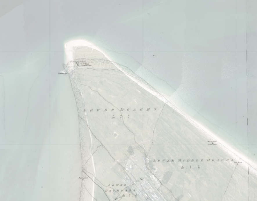
Spotted this Ordnance Survey benchmark in #Thurles today at St Bridget's Grave Yard (extract from 25-inch historic map via @TailteEireann on GeoHive Map Viewer).
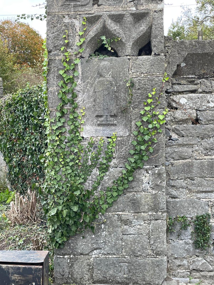
ALT Pillar outside St Bridget's churchyard, Thurles, Co. Tipperary
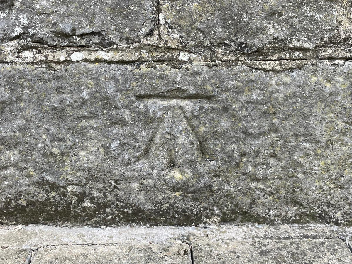
ALT Benchmark outside St Bridget's graveyard, Thurles.
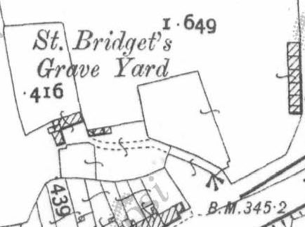
ALT Extract of Ordnance Survey 25-inch historic map showing St Bridget's Grave Yard, Thurles.
3
3
30
1,890
OS200 retweeted

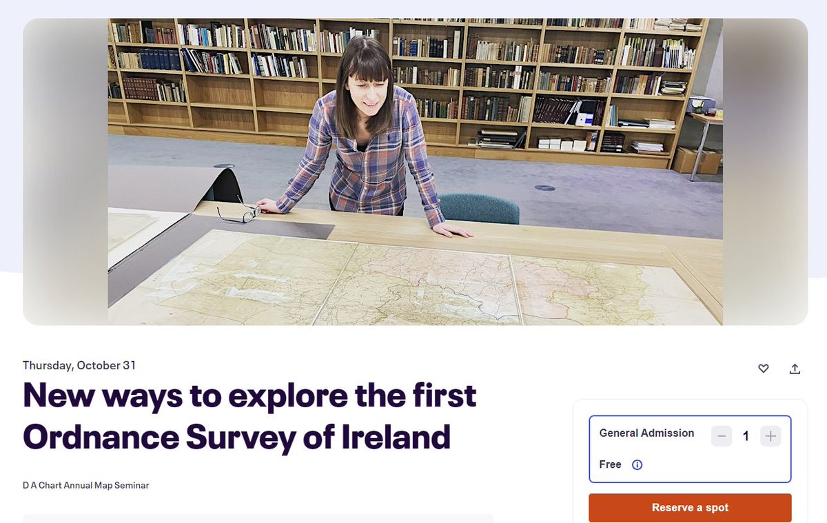
16 Oct 2024
I'm honoured to be asked to deliver this year's D A Chart Annual Map Seminar @PRONI_DFC on 31st Oct. when I'll be talking all things #OS200 @Irelandmapped.
It's online and free to attend, but you must register through EventBrite #LoveIrishResearch
shorturl.at/eqg9p
12
26
2,130
OS200 retweeted

16 Oct 2024
Made some new maps ahead of a talk looking at 19th century Ordnance Survey work in Cavan this Thursday at @CavanLibrary. Anyone have a guess what they might show? @IrelandMapped @cavancoco


2
3
14
601
OS200 retweeted

27 Sep 2024
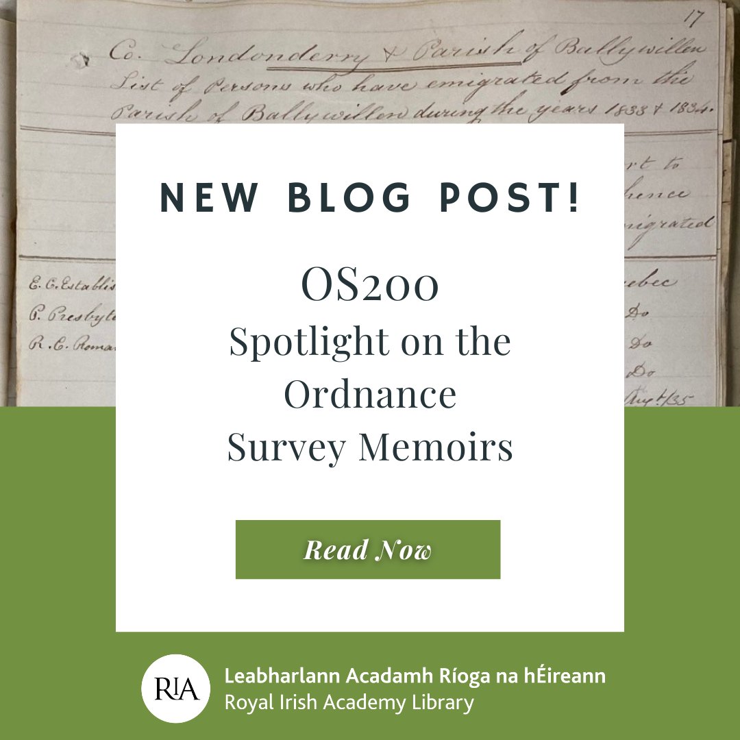
📢 NEW BLOG POST 📢
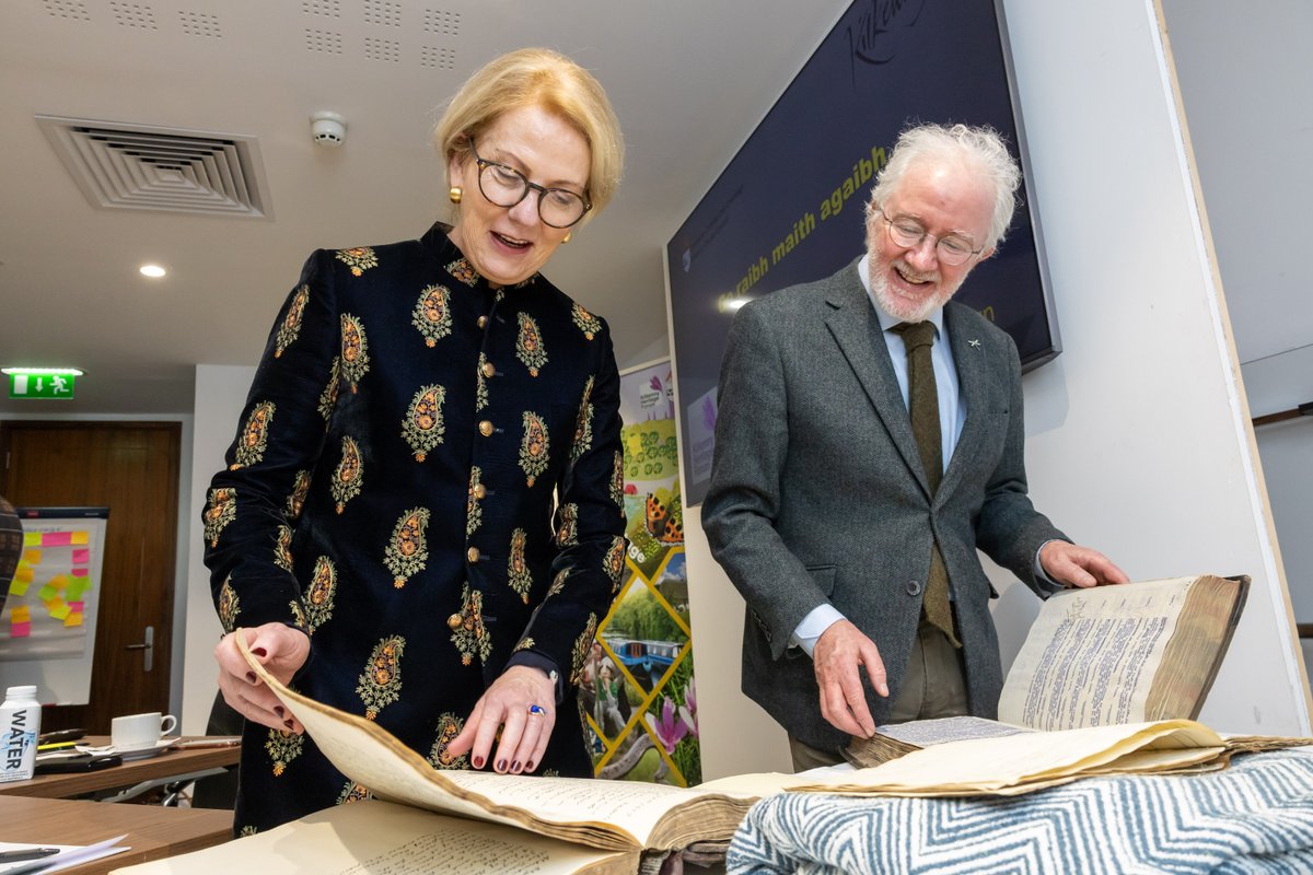
Read the last blog post in our Ordnance Survey series, celebrating 200 years since the first survey of Ireland. The focus on the Memoirs, held here in the Library. Read Meadhbh Murphy's fascinating blog about emigration & crime notes! ria.ie/blog/os200-spotlight-…
1
4
5
493
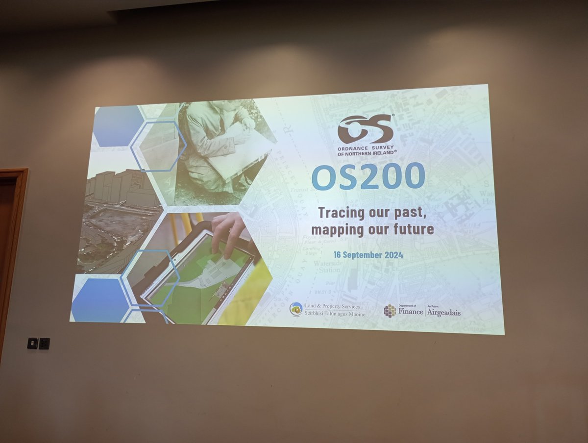
16 Sep 2024
Environment and landscape change witnessed through the OS Maps and Memoirs. 'Its [the parish] contents are rapidly decreasing by the action of the ocean and Lough Foyle', Rev John Graham on Parish of Magilligan, OS Memoirs (1833) @osni_maps @TailteEireann #OS200
1
3
4
578
OS200 retweeted

9 Sep 2024
The J.B. Harley Research Fellowships in the History of Cartography is a funding opportunity for anyone who wishes to work with historical map collections in the UK.
Deadline for applications is 1 November maphistory.info/harley.html
1
28
18
4,104
OS200 retweeted
28 Aug 2024
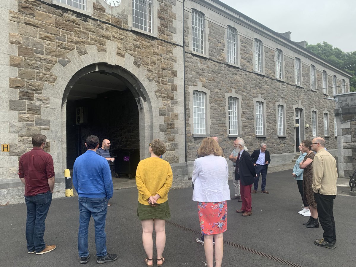
Only managed to get one image from @IrelandMapped session at @igc2024dub because I got too into the papers! #os200
3
16
540
OS200 retweeted

27 Aug 2024
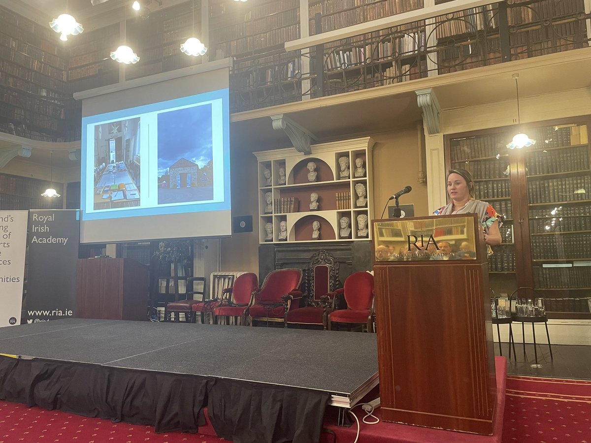
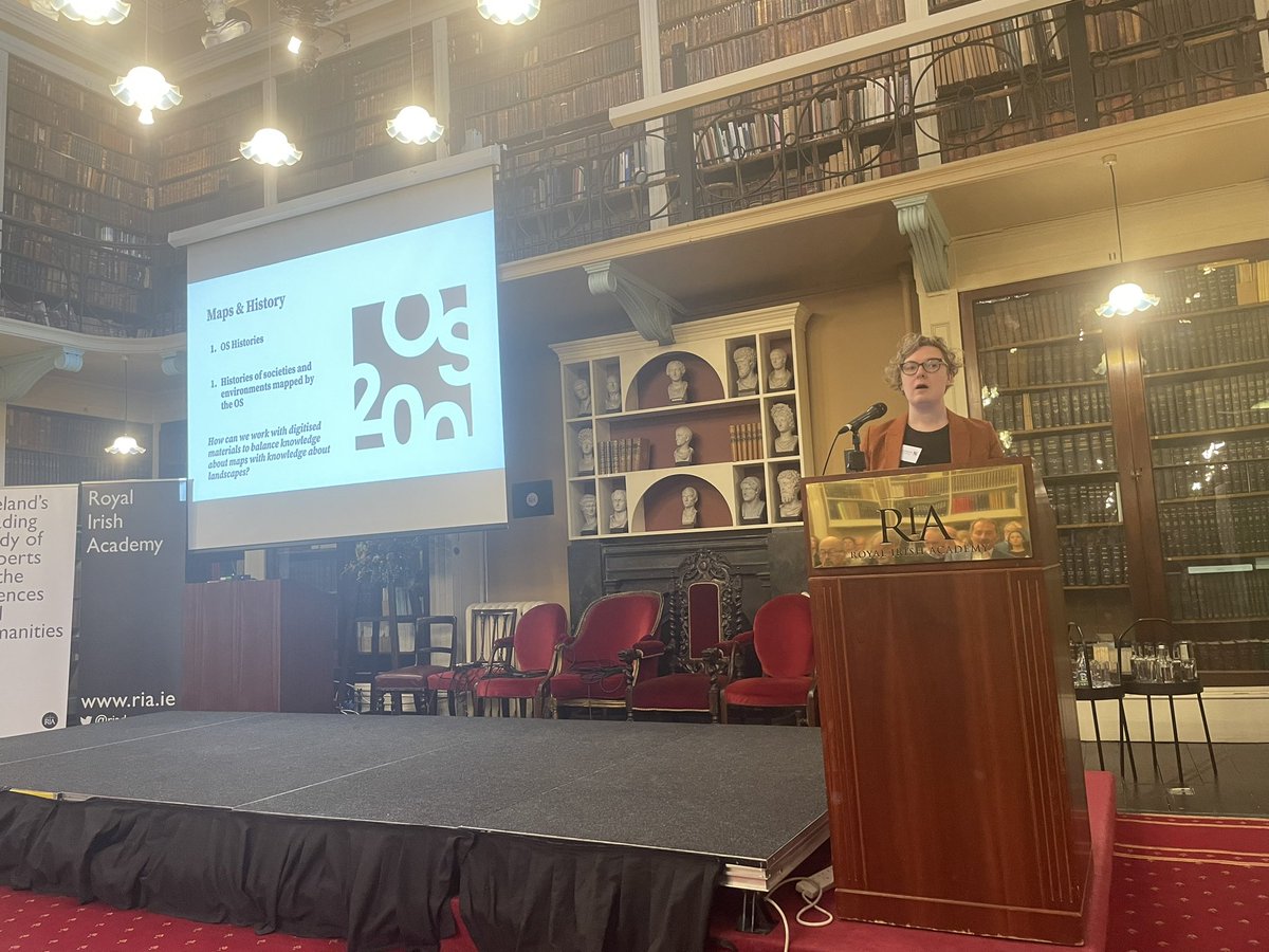
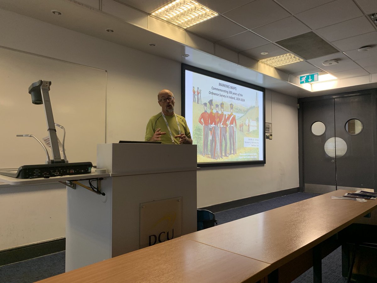
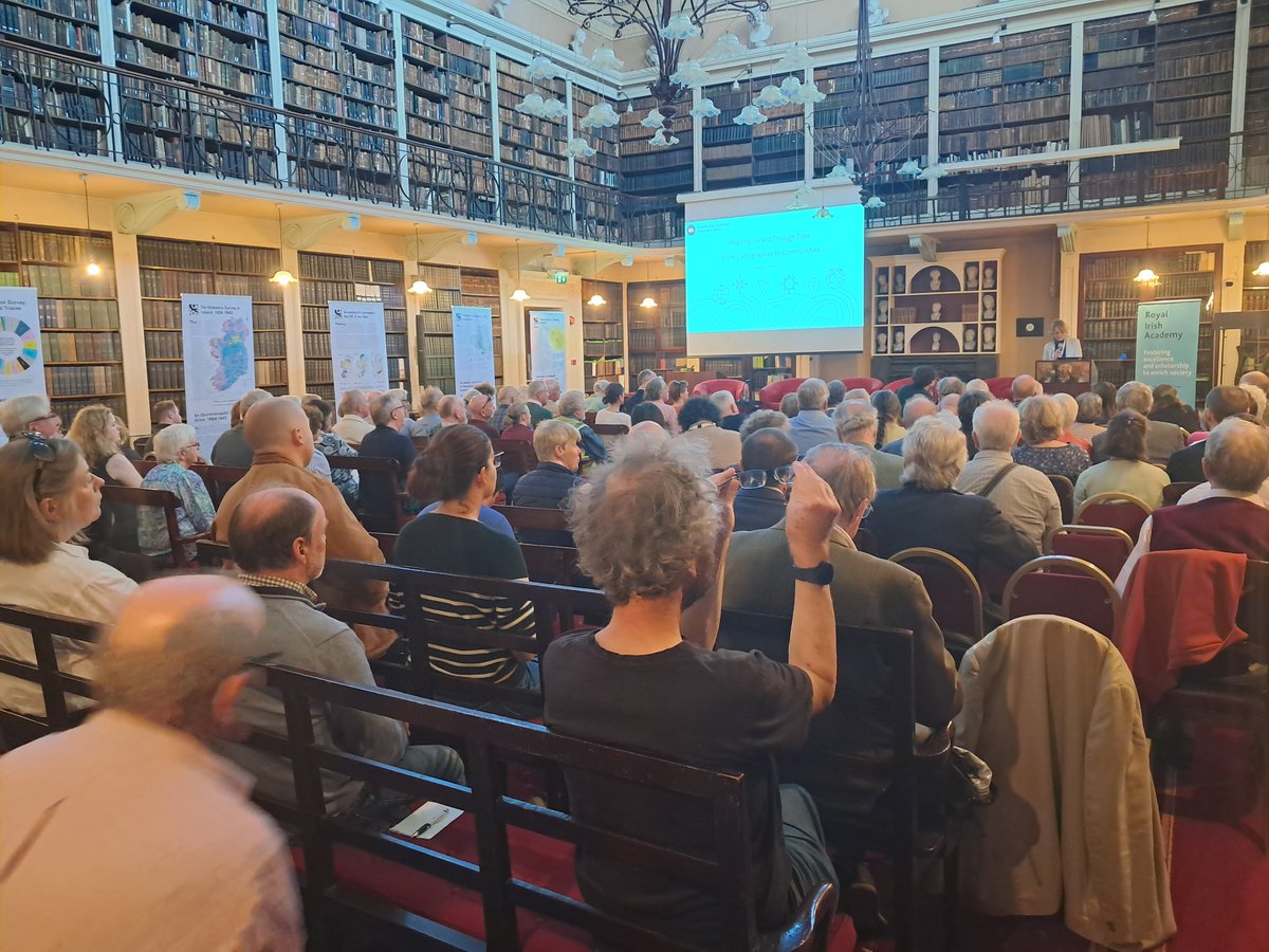
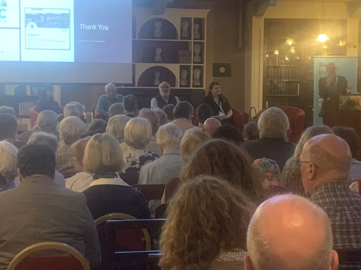
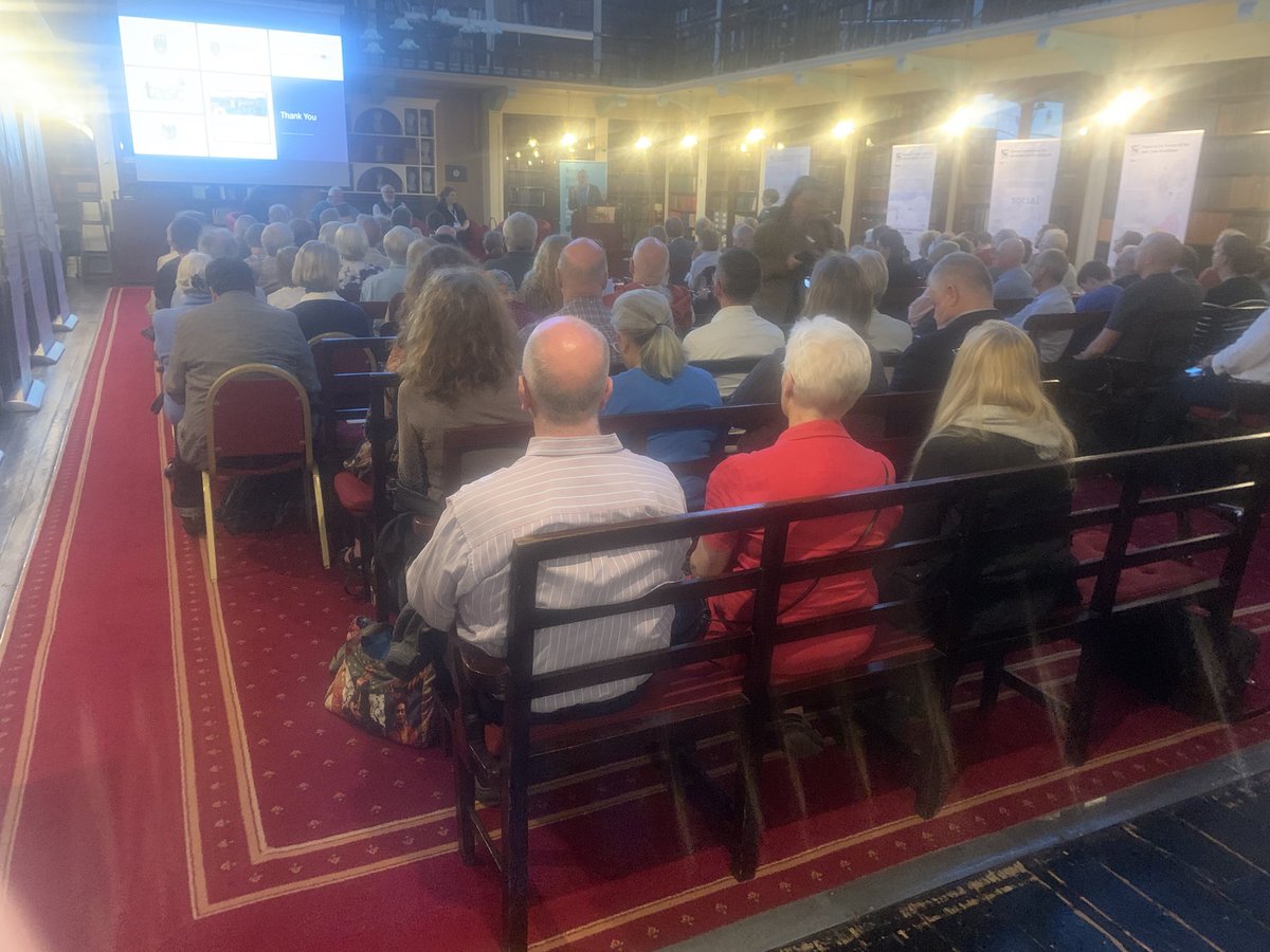
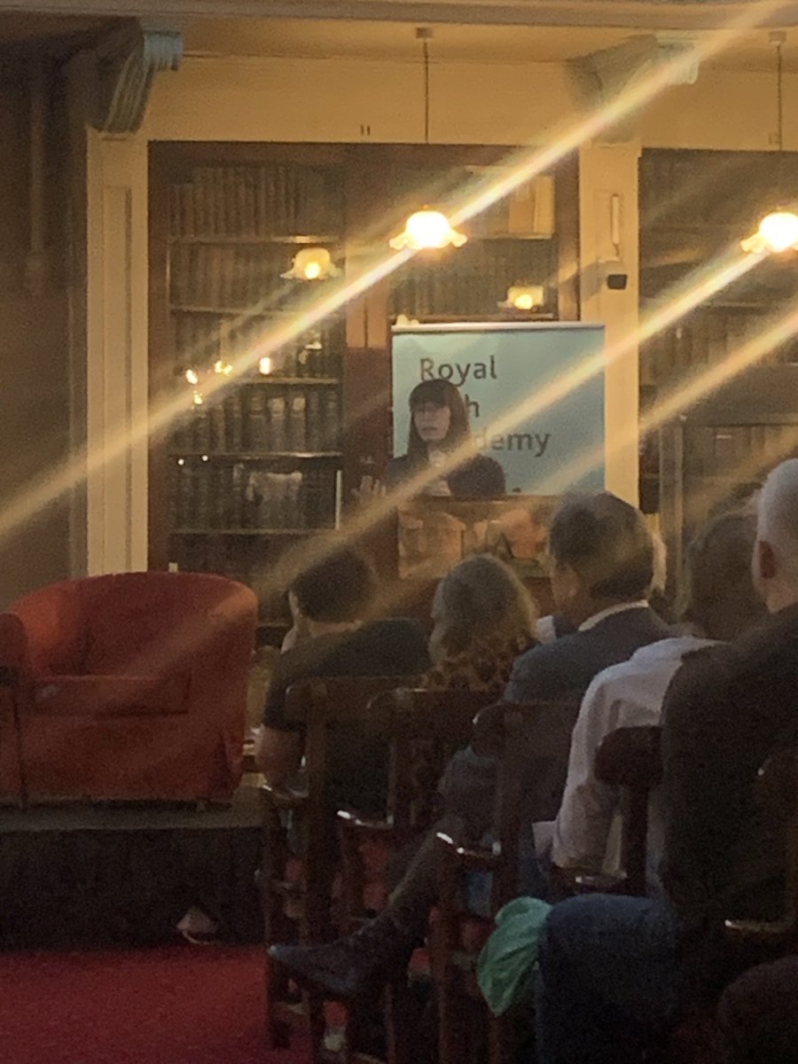
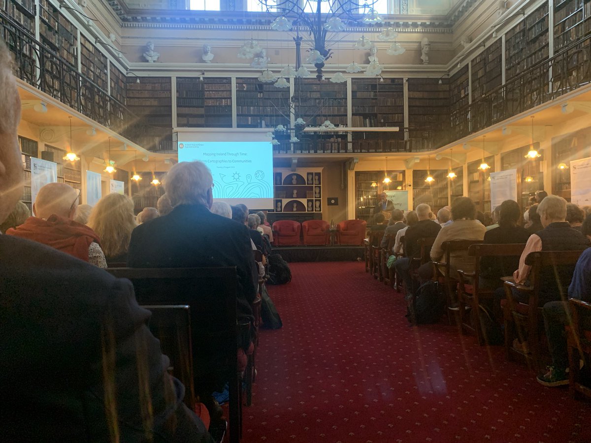
Our 'Mapping Ireland Through Time' public engagement event @RIAdawson as part of @igc2024dub has kicked off with a full house welcomed by Prof Cath Brown and @profkdlilley
8
49
3,777
OS200 retweeted

28 Aug 2024
A fabulous evening in the @RIAdawson listening to wonderful insights into maps from SW Ireland in the 1500s, O’Connells funeral and disease in Dublin, @IrelandMapped from @CatSPorter and the wonders of community mapping @RachelMcArdle19! Food for the soul. @igc2024dub
27 Aug 2024

Our 'Mapping Ireland Through Time' public engagement event @RIAdawson as part of @igc2024dub has kicked off with a full house welcomed by Prof Cath Brown and @profkdlilley
5
26
1,105
OS200 retweeted
27 Aug 2024
Loads of people turned out for @igc2024dub public event “Mapping Ireland through Time” hosted by @Library_RIA and included @IrelandMapped #OS200 project members @CatSPorter and @profkdlilley
7
28
1,364
OS200 retweeted

27 Aug 2024
Delegates at #igc2024dub are invited to visit the @IrelandMapped exhibition showcasing the workings and archive of the Irish Ordnance Survey currently on show in the @RIAdawson between 10am and 5pm each day.
9
19
1,151
OS200 retweeted

26 Aug 2024
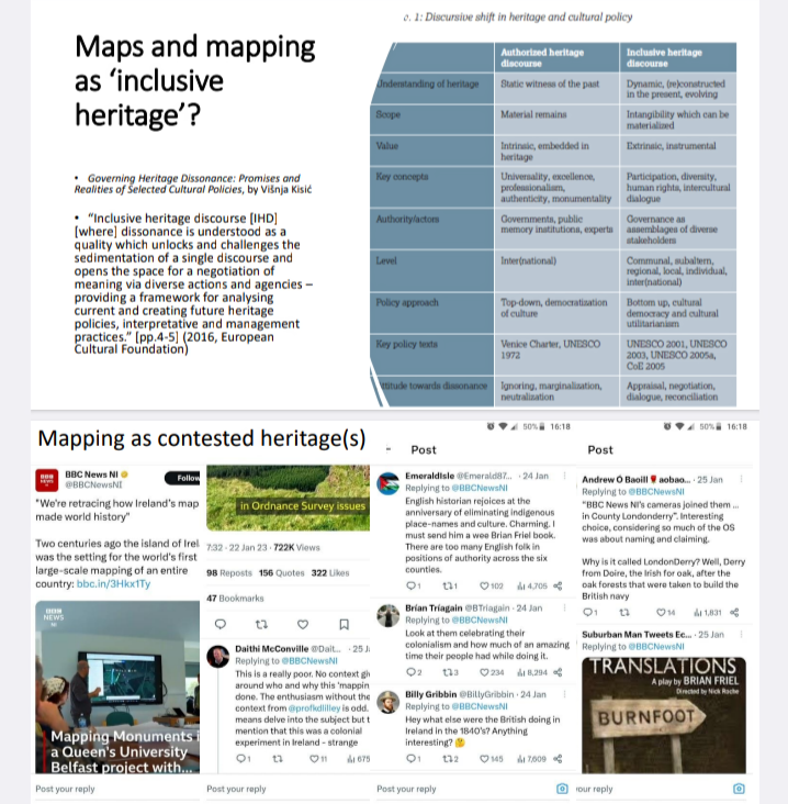
Wait, there's more @igc2024dub with our session on the Ordnance Survey in Ireland, drawing on @HeritageFundNI @IrishResearch @ahrcpress including @IrelandMapped with @proinsy @zenobiewan @CatSPorter, with something from me on 'mapping heritage' 👇
1
9
25
1,960
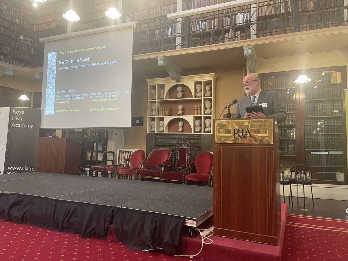
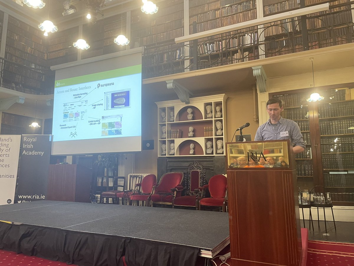
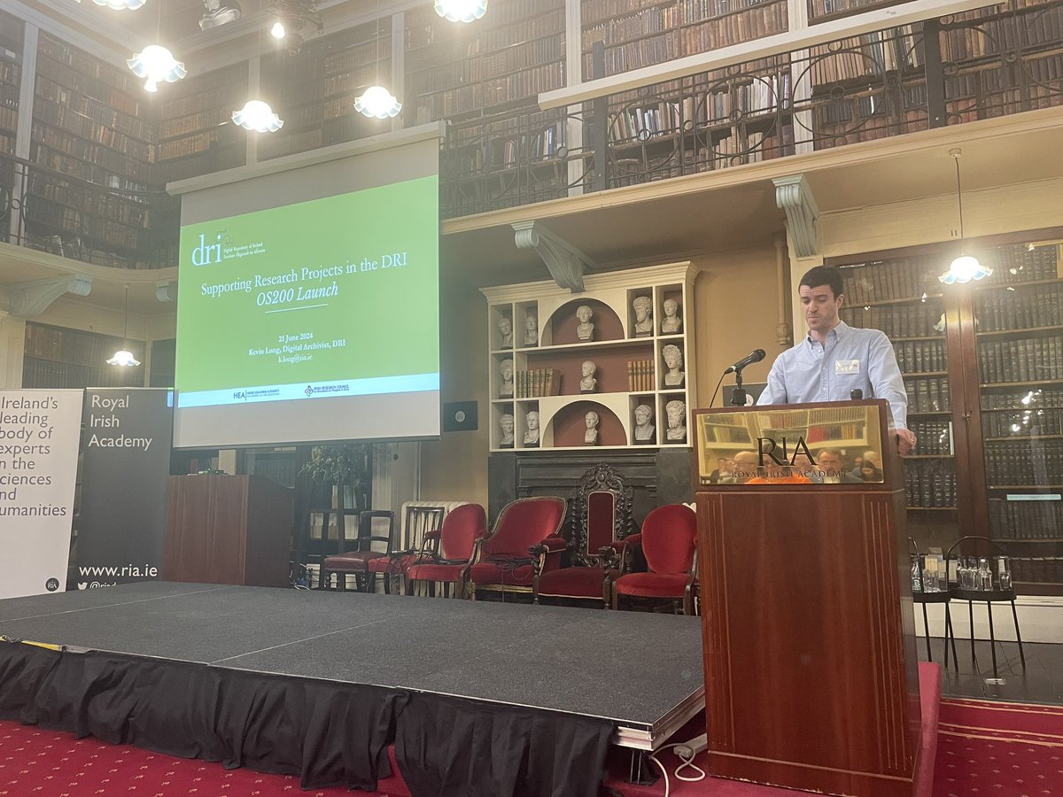
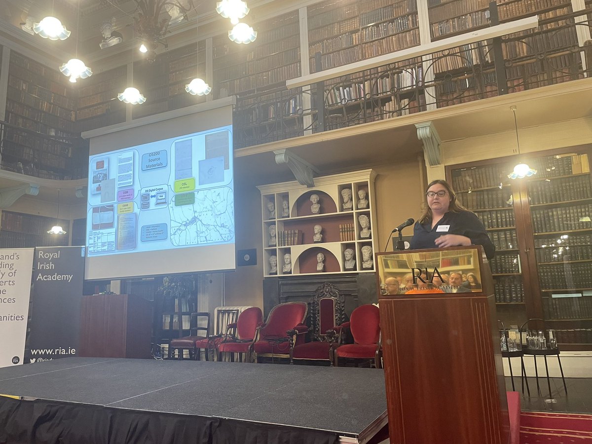
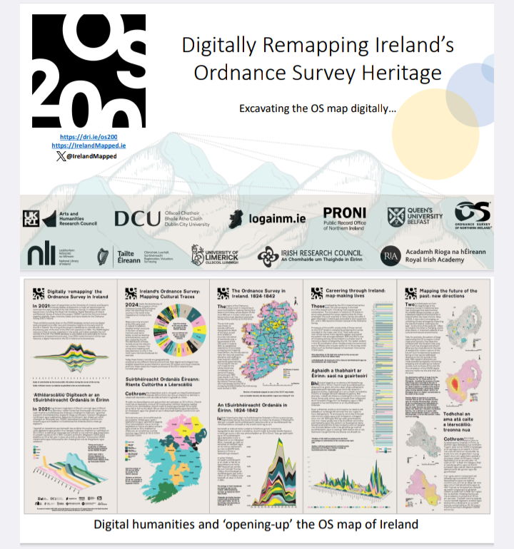
21 Aug 2024
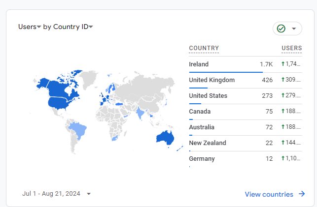
Geographies of Engagement-Since launching in June we’ve had almost 3000 people from 32 countries visit our new OS web resource. We’ve got a big update in the works just in time for @IGC2024Dub next week so keep checking back! @Library_RIA @TailteEireann @osni_maps @dri_ireland
2
9
12
1,004
OS200 retweeted

16 Aug 2024
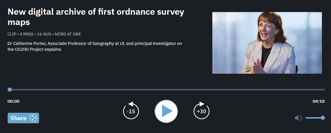
“It was the first country in the whole world to be mapped at such a scale.”
On today’s RTÉ News at One, UL’s Dr Catherine Porter discussed the OS200 Project and the new digital archive of Ireland’s first ordnance survey maps.
LISTEN: rte.ie/radio/radio1/clips/22…
#StayCurious
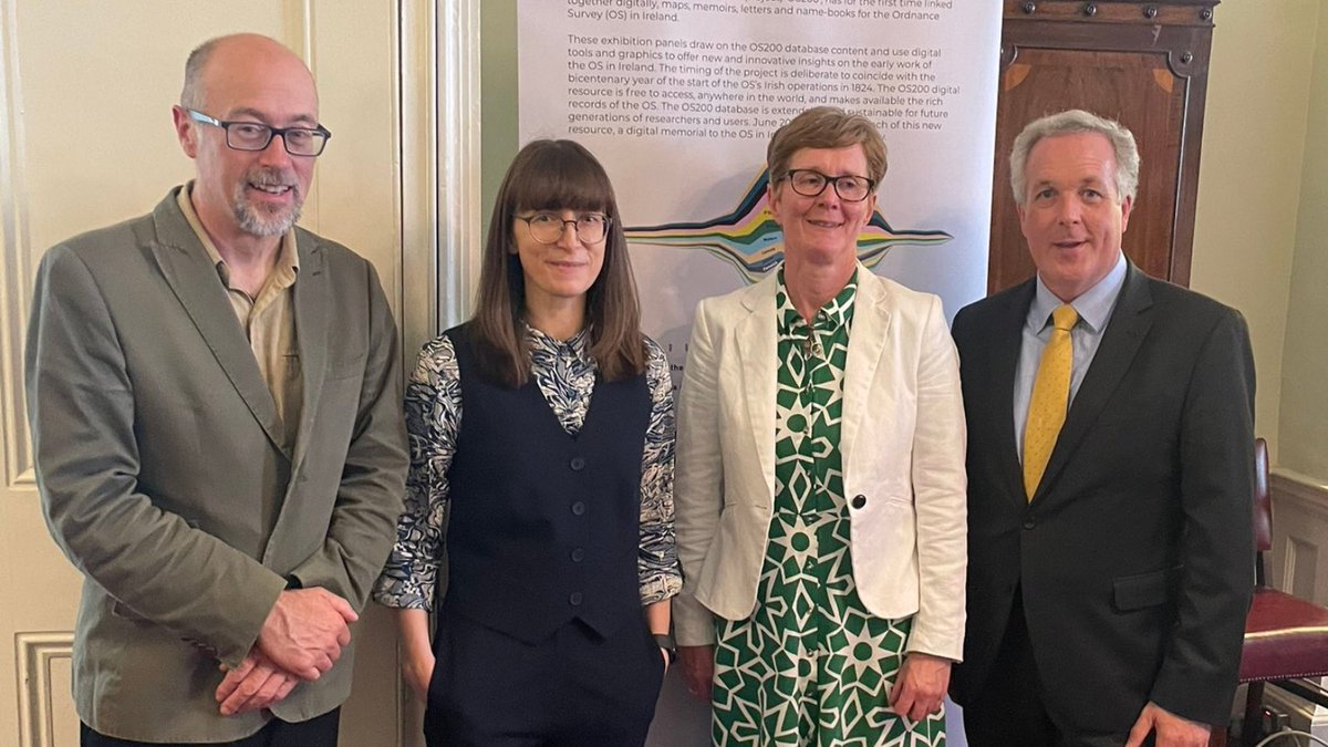
ALT Four people dressed in smart-casual clothing, standing in a line against the backdrop of a sign
11
24
2,730