
🚚 We’ve moved! This account is no longer active. For the latest NASA Earth science news and resources follow @NASAEarth or visit science.nasa.gov/earth
- Tweets 13,959
- Following 108
- Followers 392,917
- Likes 596
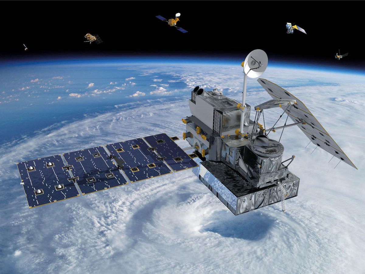


ALT The GPM Core Observatory satellite in space above Earth, passing over a large hurricane.
ALT Diagram of Earth's water cycle.
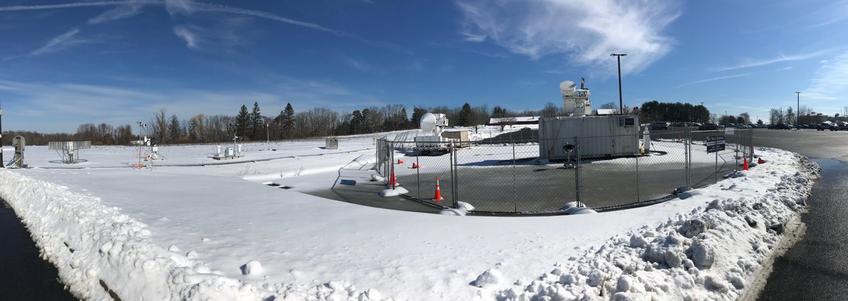
ALT GPM Ground Validation instruments on a snowy field in Storrs, Connecticut. Credit: Diego Cerrai.


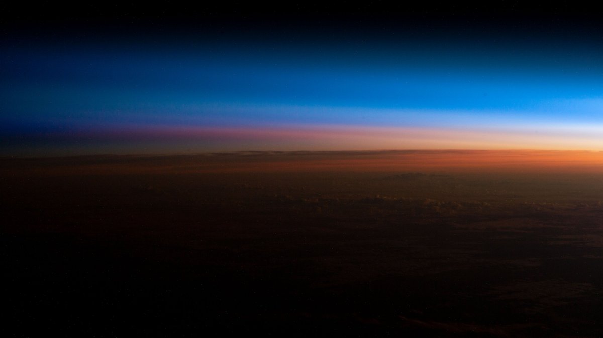
ALT An orbital sunrise begins illuminating Earth's atmosphere and revealing the cloud tops in this photograph from the International Space Station as it orbited 260 miles above southern Brazil.
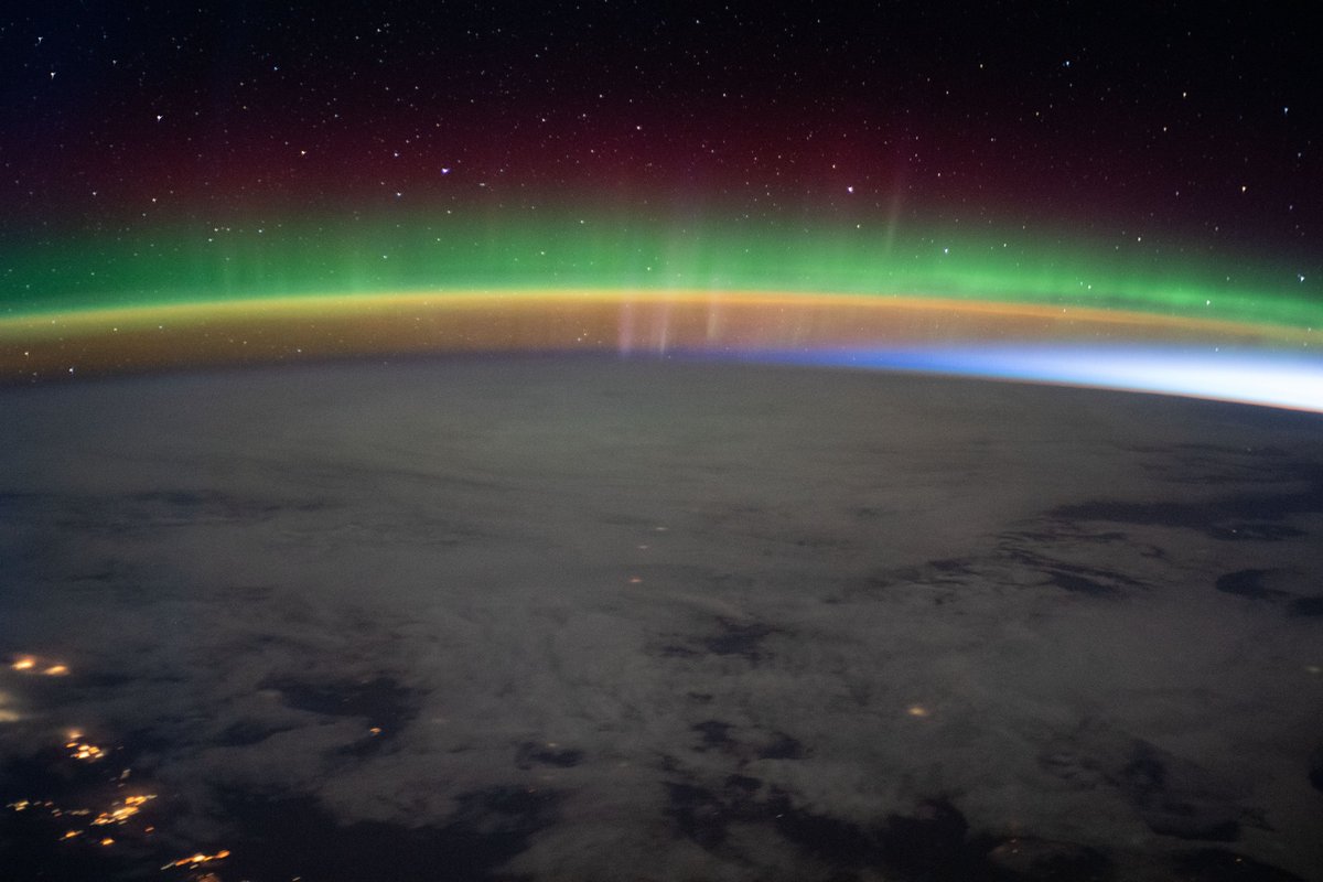
ALT A bright aurora crowns Earth's horizon beneath a starry sky as the International Space Station flew into an orbital sunrise 264 miles above north Montana in the United States.

ALT The International Space Station was soaring into an orbital sunrise 259 miles above the U.S. territory of Guam in the Pacific Ocean at the time of this photograph.
ALT An orbital sunrise crowns Earth's horizon in this photograph from the International Space Station as it orbited 261 miles above Brazil. At top right, the city lights of Rio de Janiero and Sao Paulo on the Atlantic coast are visible from the orbital outpost.
ALT GPM 10-in-10 webinar banner showing the GPM satellite flying through space, and pictures of the webinar speakers.
ALT GPM 10-in-10 webinar banner showing the GPM satellite flying through space, and pictures of the webinar speakers.