
We conduct cross-disciplinary environmental research using geospatial technologies & spatial sciences, with a particular focus on bridging geomatics & ecology.
Joined January 2018
- Tweets 965
- Following 419
- Followers 349
- Likes 1,195
96 Photos and videos


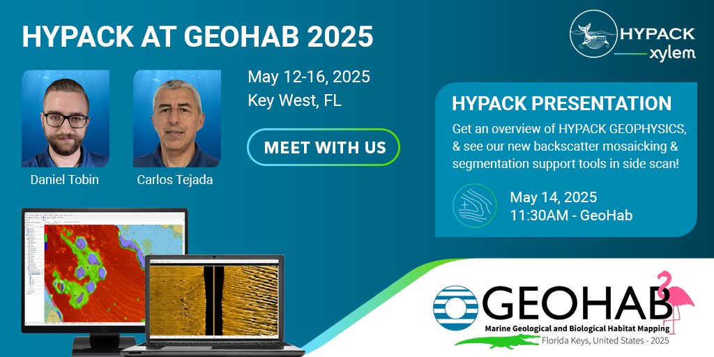
Join us at 𝗚𝗲𝗼𝗛𝗮𝗯 𝟮𝟬𝟮𝟱! We will be showcasing our software package, HYPACK® GEOPHYSICS, which is designed for the acquisition and processing of side scan, sub-bottom profiler, and magnetometer data.
#sidescan #geophysics #sidescan #subbottom #geohab
1
1
103

Star-Oddi is proud sponsor of the ongoing GEOHAB Marine Geological and Biological Habitat Mapping international conference in Key West, FL, US, May 12-16, 2025
geohab.org/keywest2025/
#GeoHab
#salinitylogger
@fio_stpete


1
49

7 Nov 2024
The next GeoHab Conference on marine habitat mapping will be in Key West, Florida, in May 2025! Now accepting abstracts, and applications for student travel awards and sponsorship! All the info at geohab.org/keywest2025/. Distribute widely! @hab_geo @SFFGS_UF @seabed2030
2
57
19 Sep 2023
Congrats to lab alumnus @ERodofili for being awarded the prestigious John A. Knauss Marine Policy Fellowship! Esteban will put his skill set to good use at the US Congress for all of next year! @SFFGS_UF @UFSNRE @UFCALS @UF_IFAS seagrant.noaa.gov/2024-knaus…
1
5
247
30 Jun 2023
Congratulations to lab member Esteban Rodofili (@ERodofili), who successfully defended his Ph.D. dissertation this week, "Semi-automated analyses of satellite and UAS imagery to inform marine mammal detection, migration route studies, and marine protected area design"! @UFSNRE
1
3
295

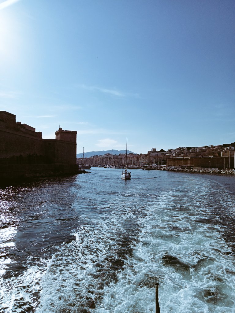
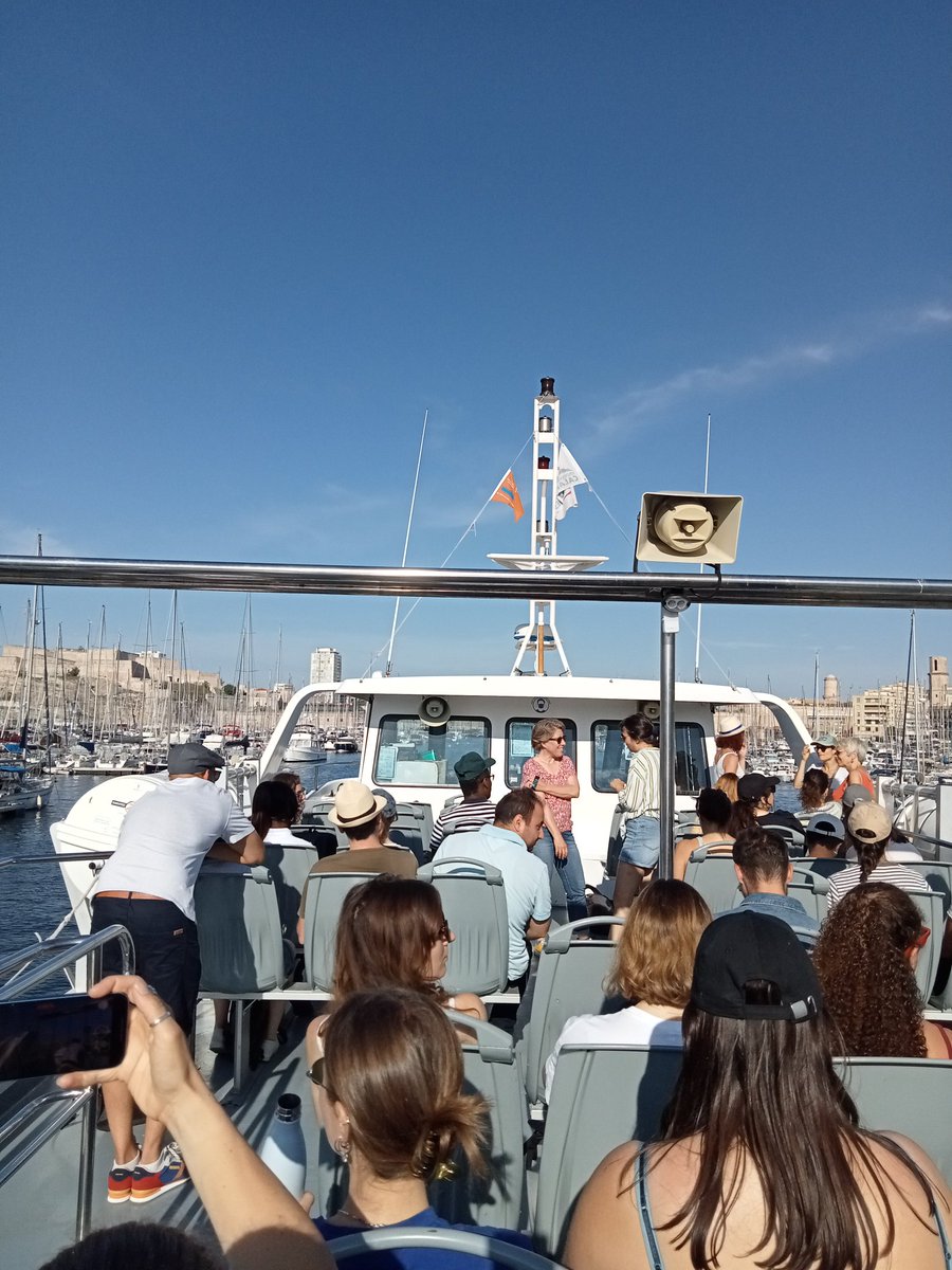

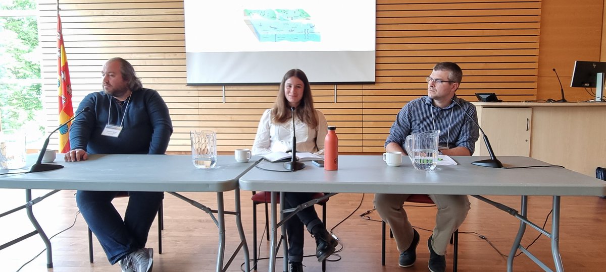
#SAGEO23 démarre fort à Québec avec plusieurs ateliers dont celui de l'action de recherche sur la géomatique marine et côtière @DavretJuliette @TheLecoursLab
2
3
328
31 May 2023
Do you interact with acoustic backscatter data in any way? Do you want to help define the priority research questions for the next 5-10 years? If so, please consider taking this 20-minute survey before June 9th!
ufl.qualtrics.com/jfe/form/S…
1
1
268
The Marine Geomatics Lab @UQAC retweeted

29 May 2023
If it comes from Vincent's lab, I know it's good stuff
29 May 2023

New paper alert from our team! Alex Ilich developed a new and super easy-to-use (even for non-R people) R package to perform multiscale geomorphometric analyses! It also introduces a new terrain rugosity metric that is decoupled from slope.
tinyurl.com/MultiscaleDTM
@GeomorphomOrg
1
2
134
29 May 2023
New paper alert from our team! Alex Ilich developed a new and super easy-to-use (even for non-R people) R package to perform multiscale geomorphometric analyses! It also introduces a new terrain rugosity metric that is decoupled from slope.
tinyurl.com/MultiscaleDTM
@GeomorphomOrg
1
9
23
3,690
The Marine Geomatics Lab @UQAC retweeted

10 May 2023
The cblindplot R package - a game-changer for data visualization for colorblind people! The cblind.plot() function easily generates color blind friendly plots, making it easier for everyone to interpret spatial data. Check it out: sciencedirect.com/science/ar… #DataViz #ColorBlindness
11
41
3,147
The Marine Geomatics Lab @UQAC retweeted
22 Feb 2023
📢Check out our new review about scale mismatches between predictor and response variables in species distribution modelling at @PiPGjournal with @TheLecoursLab, @vojta_bartak, @alezarzo et al.!
22 Feb 2023

Check out our new review lead by Vitězslav Moudrý
@kpv_fzp "Scale mismatches between predictor and response variables in SDMs" in @PiPGjournal with @R_you_cereal,@LucasGabor3,@vojta_bartak,
@MarcoMalavasi6,@ducciorocchini,@flograttarola,@FrsLry and more!
doi.org/10.1177/030913332311…
2
6
442
The Marine Geomatics Lab @UQAC retweeted

11 Apr 2023
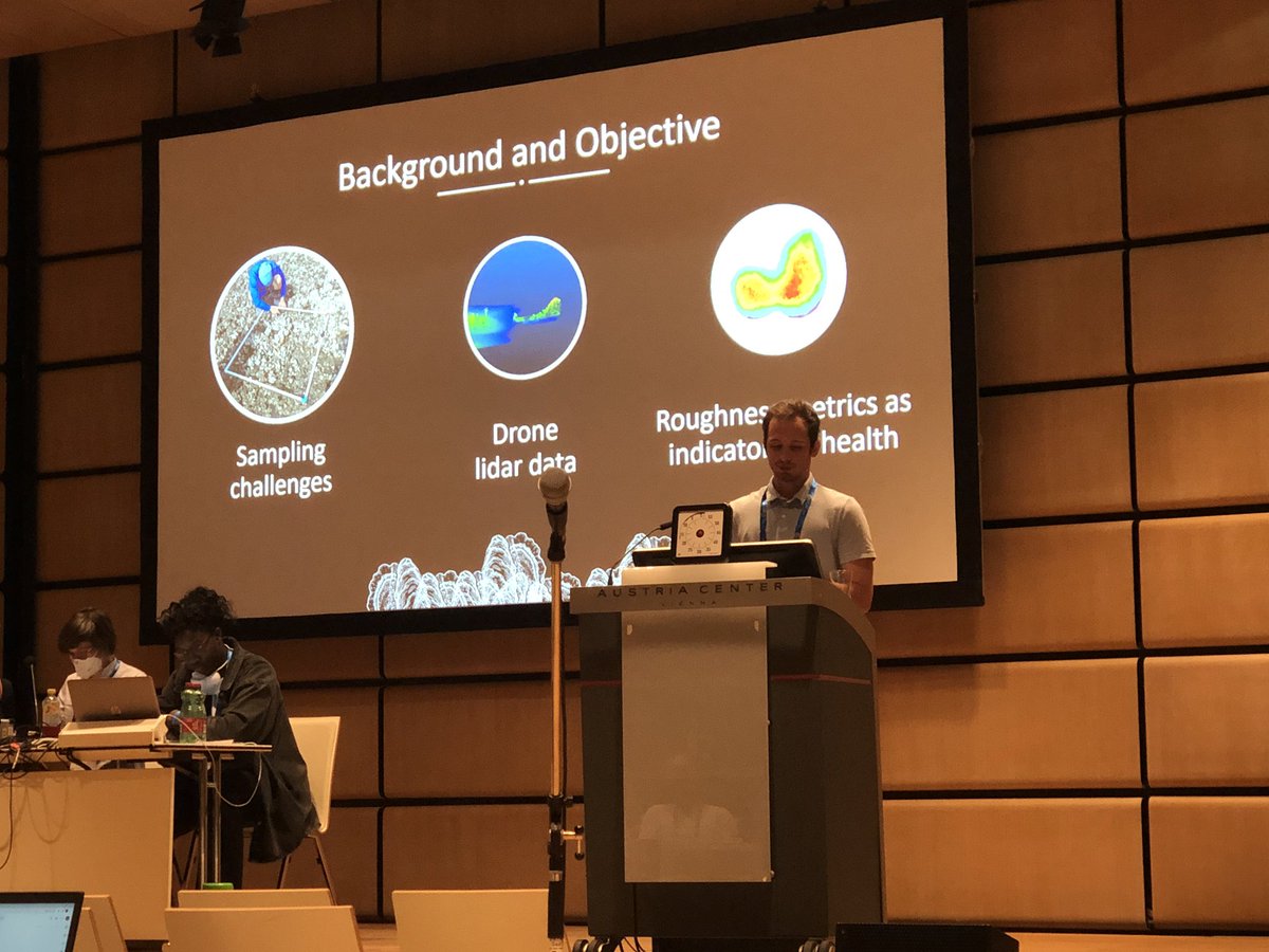
Ckeck out our paper led by Dr Michael Espriella @TheLecoursLab demonstrating the potential for drone-based laser surveys and surface metrics for mapping and measuring intertidal oyster reef complexity and condition @OxfordSeaEcoLab open access tinyurl.com/5n7282d6
3
6
1,043
The Marine Geomatics Lab @UQAC retweeted

13 Jan 2023
New Research: Coastal benthic habitat mapping and monitoring by integrating aerial and water surface low-cost drones: Accurate data on community structure is a priority issue in studying coastal habitats facing human pressures. The recent… frontiersin.org/articles/10.… #MarineScience
9
11
1,091
The Marine Geomatics Lab @UQAC retweeted

16 Jan 2023
Delighted to see our recent paper being one of the Editor's choice in Remote Sensing! Collaboration between @IRD @EPHE_Dinard @NASAGoddard funded by @MUSE_SeaCoast
13 Jan 2023

#editorchoice
📢 #VeryHighResolutionSatellite-Derived #Bathymetry and #HabitatMapping Using #Pleiades1 and #ICESat2 by Alyson Le Quilleuc, Antoine Collin, Michael F. Jasinski, and Rodolphe Devillers
🔗 Read the full article: mdpi.com/2072-4292/14/1/133
2
1
10
1,074
The Marine Geomatics Lab @UQAC retweeted

16 Jan 2023
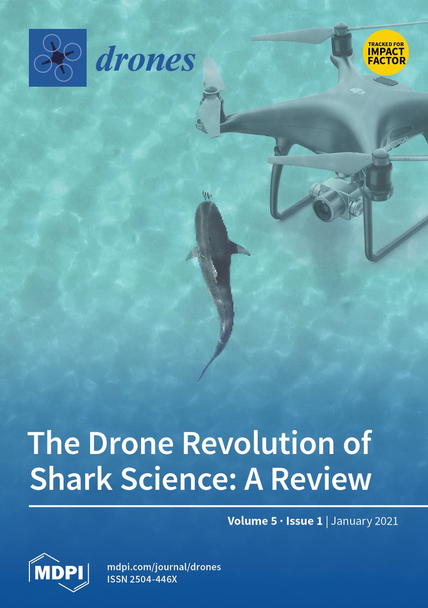
#IssueCover
The #Drone Revolution of #Shark Science: A Review 🦈
by @Paul_A_Butcher et al.
Cited by 38 | Viewed by 11992
Full access mdpi.com/2504-446X/5/1/8
Volume 5, Issue 1 (March 2021) – 23 articles
mdpi.com/2504-446X/5/1
6
21
1,436
The Marine Geomatics Lab @UQAC retweeted

16 Jan 2023
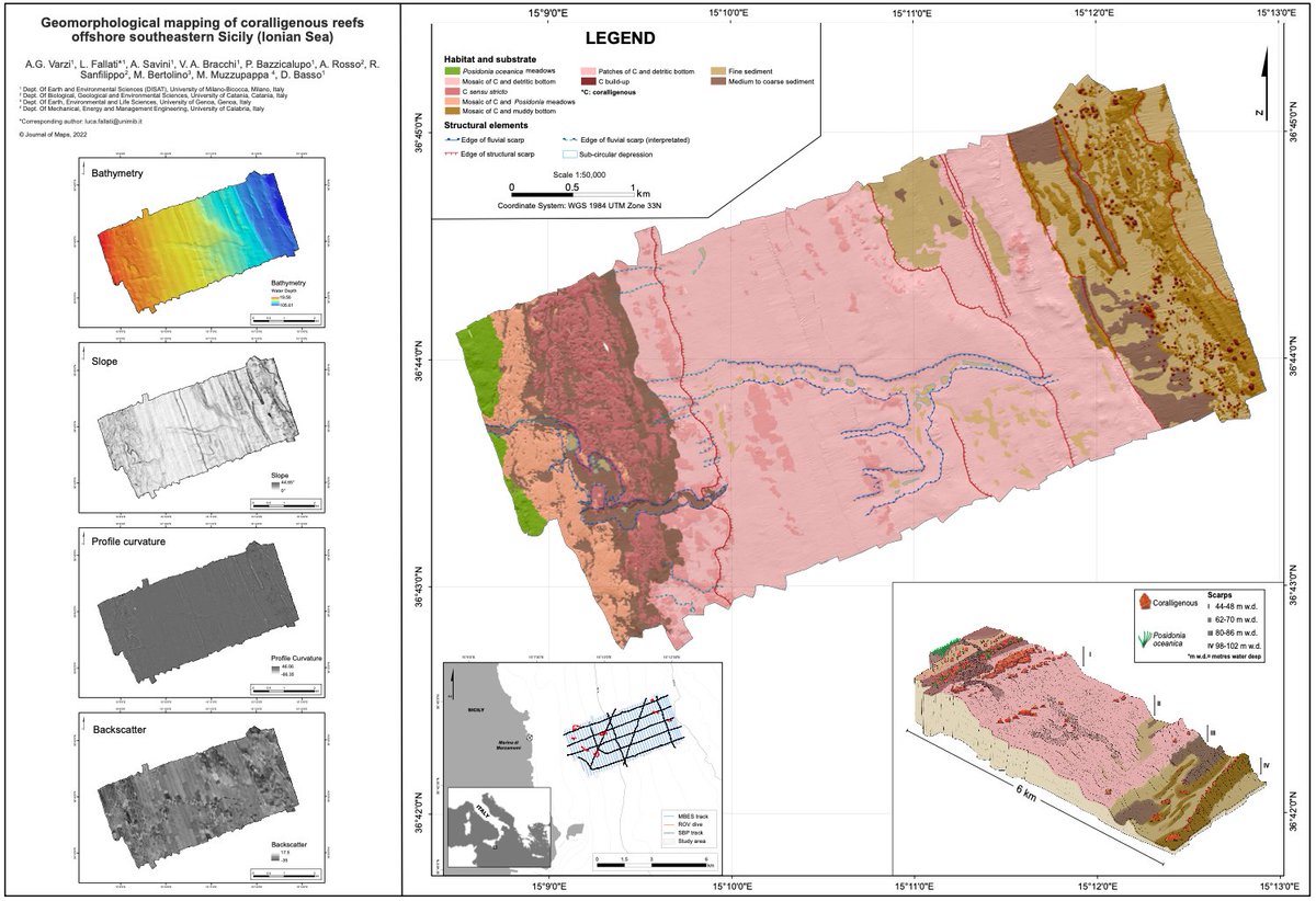
🚨Check our new Paper🚨
"Geomorphology of coralligenous reefs offshore southeastern Sicily (Ionian Sea)"
tandfonline.com/doi/full/10.…
1
8
444
The Marine Geomatics Lab @UQAC retweeted

16 Jan 2023
The BEcoME Workshop is tomorrow!
Tuesday January 17th | 9:00am to 4:30pm | Courtyard Halifax Downtown Marriott
#OFI_BEcoME @OceanFrontier @DalhousieU
ofibecome.org/_files/ugd/0a8…

2
7
630
7 Dec 2022
The 2023 Conference of the International Society for Geomorphometry (@GeomorphomOrg) will be held in July in Romania! The deadline for extended abstracts is January 15th. geo.uaic.ro/geomorphometry20…
1
1
7 Dec 2022
We're hoping to get enough marine-focused submissions for a full session on the topic that will align with an open special issue in @FrontMarineSci on marine geomorphometry! The manuscript deadline is June 1st! frontiersin.org/research-top…
1
1