
The USGS in Montana -- Science for a changing world. Tweets do not = endorsement (on.doi.gov/pgwu0Y).
- Tweets 2,444
- Following 116
- Followers 3,218
- Likes 647


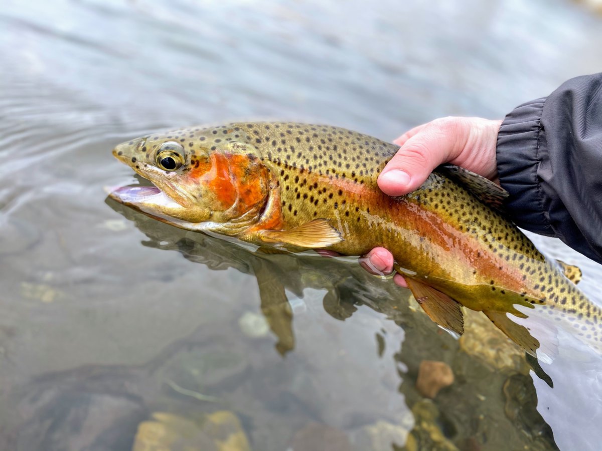
ALT An angler holds a trout just above clear, shallow water. The fish features a golden-brown body densely covered with small black spots, a reddish-pink lateral stripe, and a bright orange patch on its gill plate.

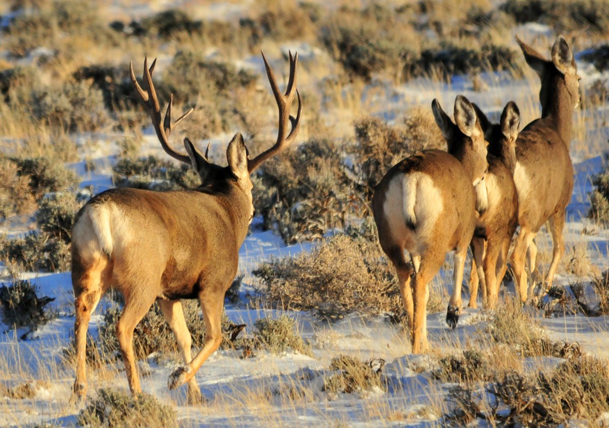
ALT A mule deer buck with antlers walks behind two does through Wyoming sagebrush habitat in winter.
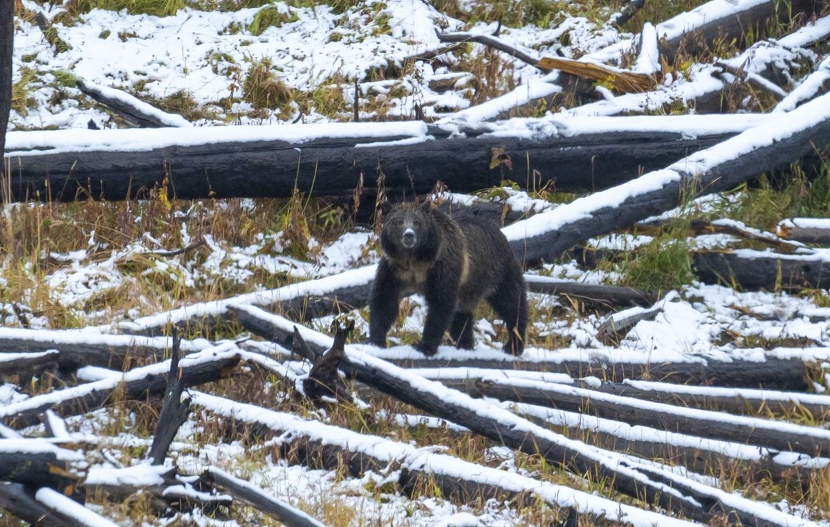
ALT A single grizzly bear stands among snow-covered logs.
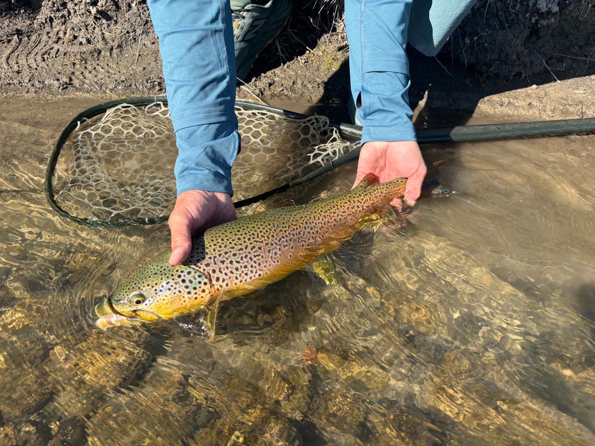
ALT Person gently releasing a brown trout into the shallow water of a Montana River with a fishing net nearby.
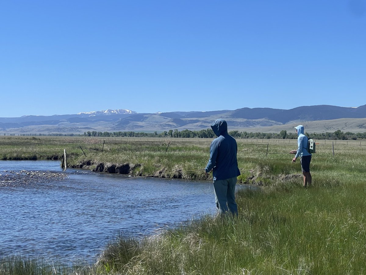
ALT Two anglers on the banks on a Montana river with snow-capped mountains in the background.
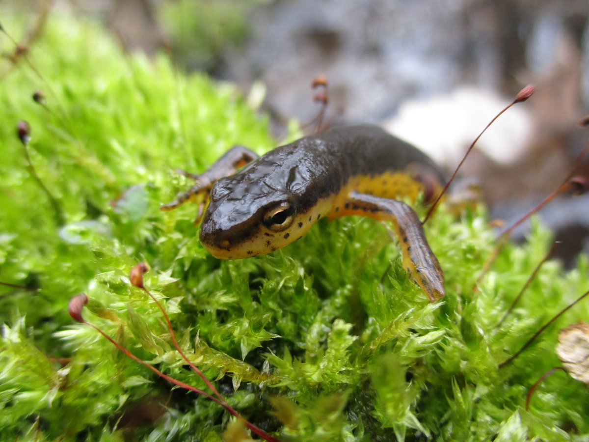
ALT A close-up of the head and front legs of an Eastern Newt on moss.

ALT Close-up of a California red-legged frog partially submerged in water with head exposed surrounded by green aquatic vegetation.
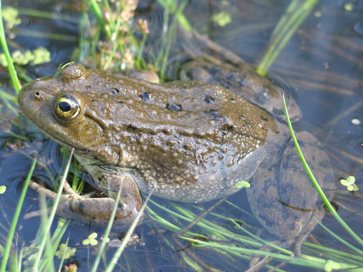
ALT A Columbia spotted frog partially submerged among aquatic plants in clear water.
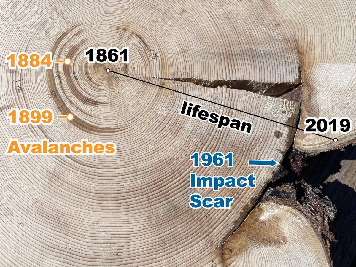
ALT Snow-covered mountain slope with a wide path created by an avalanche cutting through dense evergreen forest under a gray sky.
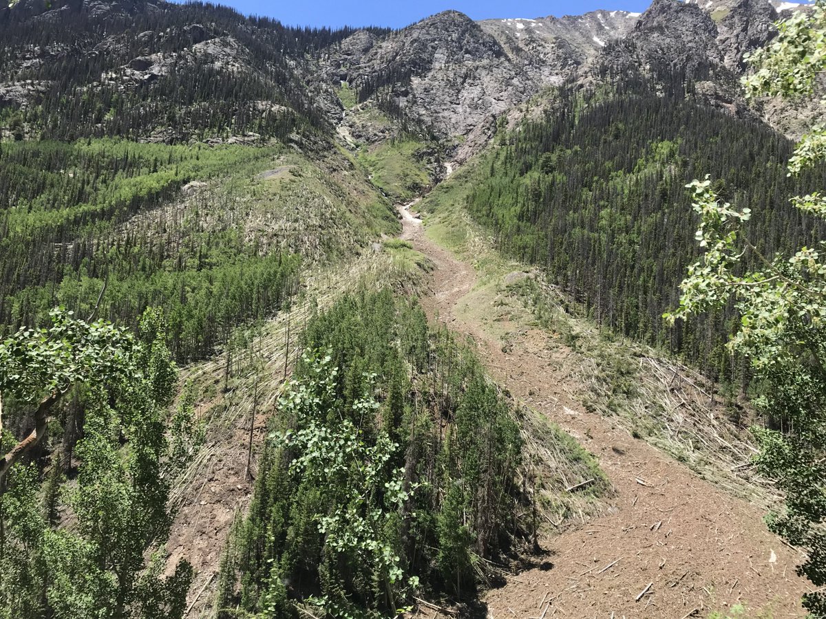
ALT Mountain slope with an obvious avalanche path cutting through dense evergreen forest under a bright blue sky. Downed trees in the avalanche path (foreground and background) are present.
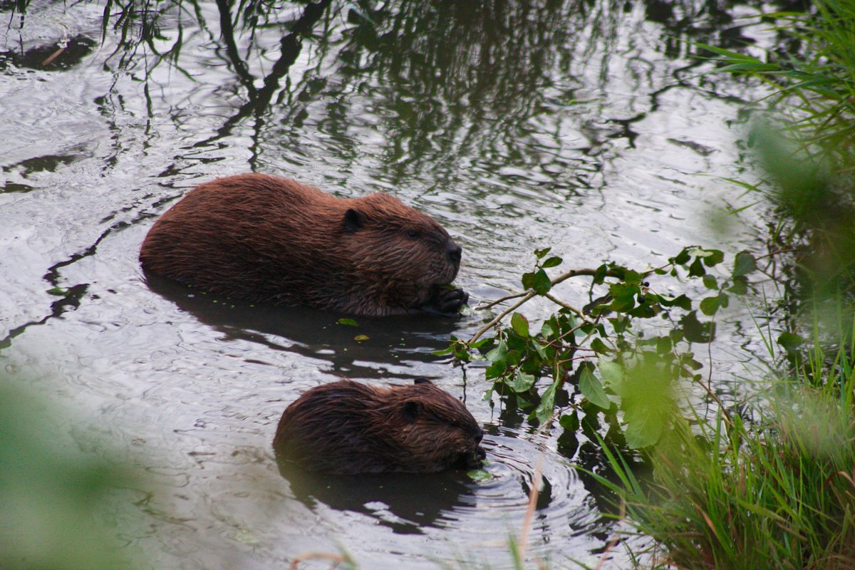
ALT An adult and juvenile beaver chewing on vegetation while in water. Photo by USGS
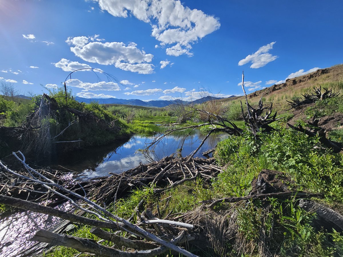
ALT Beaver dam on a tributary to the Marys River in Northeast Nevada with mountains in the background. Photo by USGS
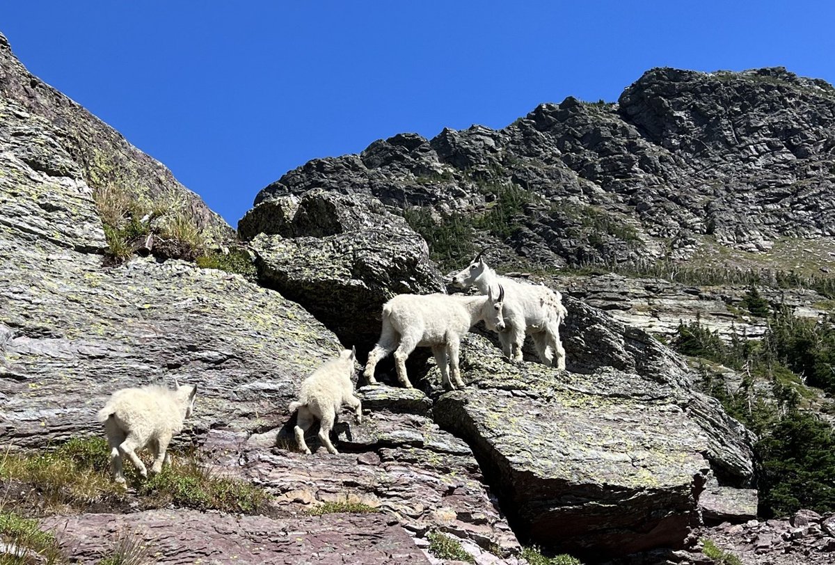
ALT Four mountain goats on the side of a mountain in Glacier National Park.
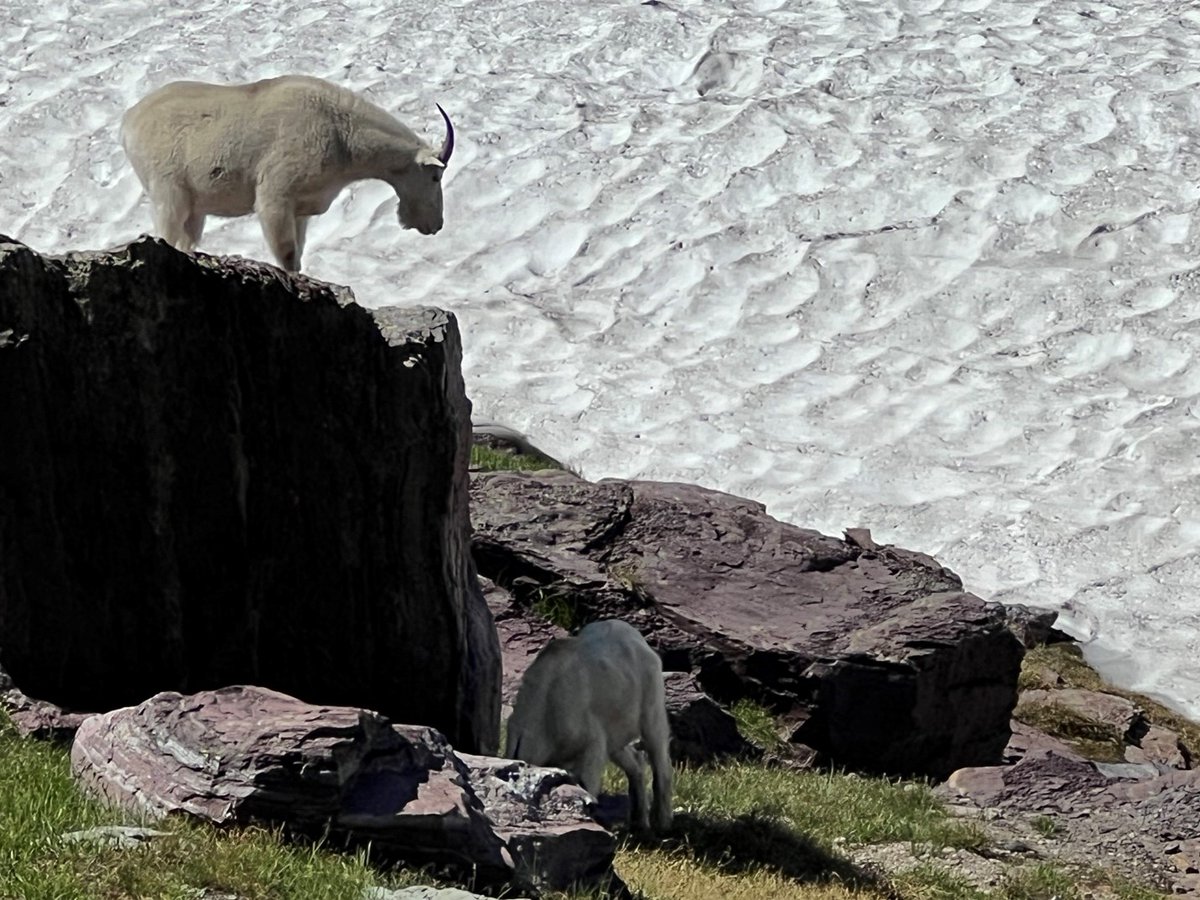
ALT One mountain goat stands atop a boulder while another stands at its base. Boulder is above a snow field at a high elevation site in Glacier National Park.
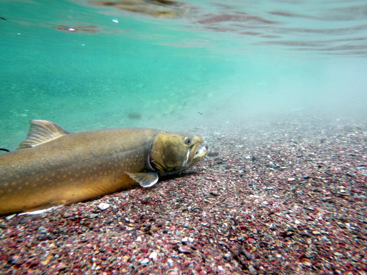
ALT Threatened bull trout—cold-water apex predator. (Image courtesy of Shannon Downey, U.S. Fish and Wildlife Service)
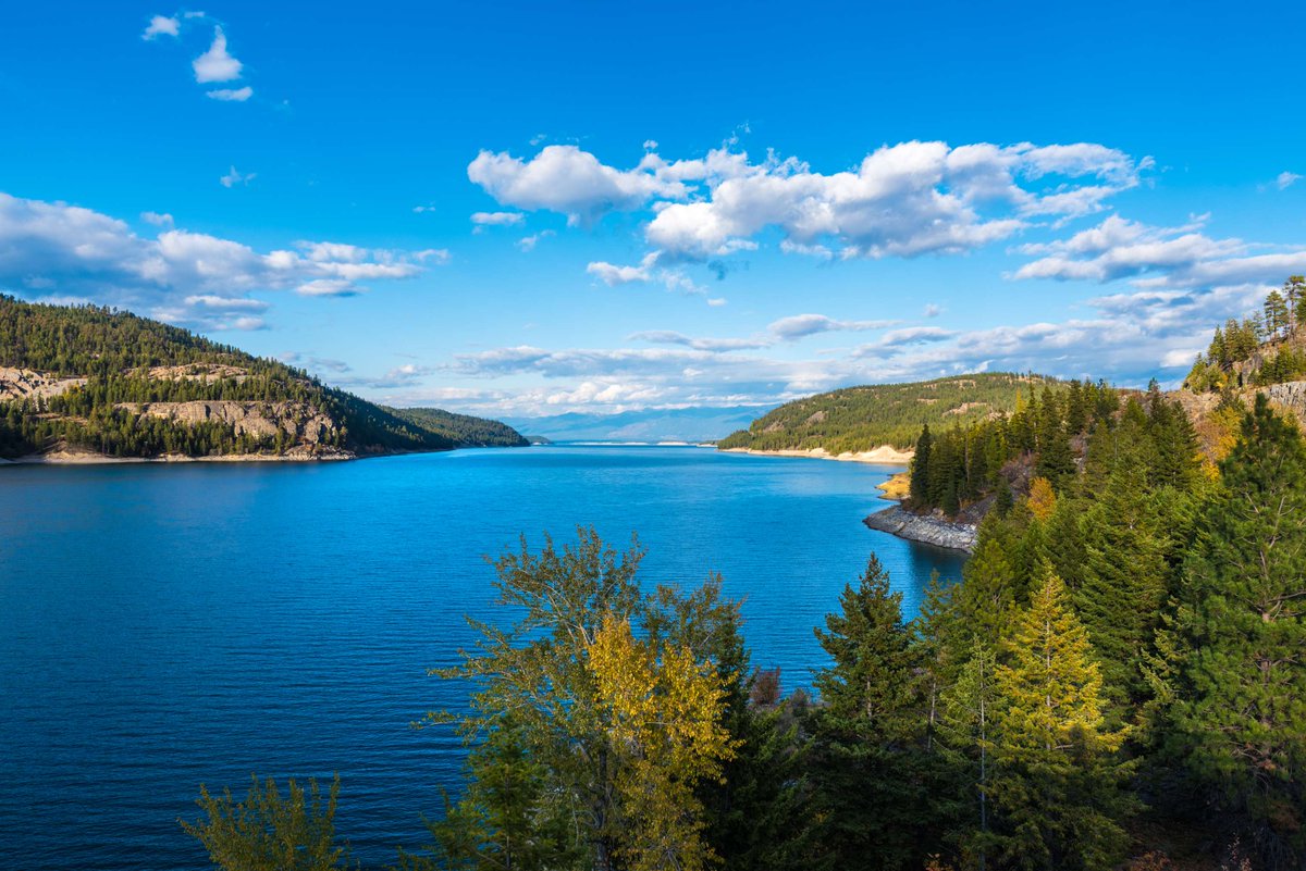
ALT Lake Koocanusa in northwestern Montana with broadleaf trees and conifers on its shores in autumn. Lake Koocanusa is home to thousands of bull trout whose population is supported by feeding on nonnative kokanee.


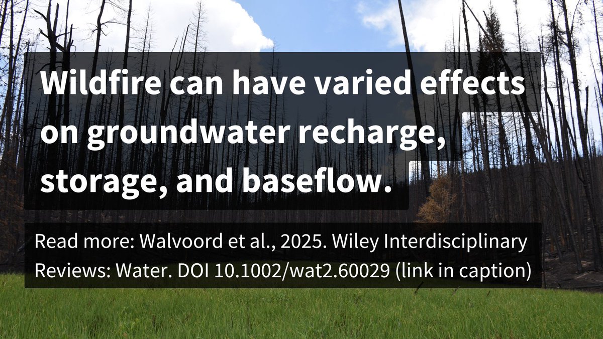
ALT Wildfire can have varied effects on groundwater recharge, storage, and baseflow. Read more: Walvoord et al., 2025. Wiley Interdisciplinary Reviews: Water. DOI 10.1002/wat2.60029 (link in caption). Background photo shows green grass in front of a recently burned forest. Image courtesy of Brian Ebel, USGS.
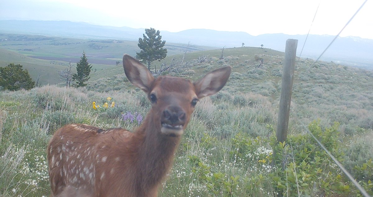
ALT Elk fawn standing next to a fence in a prairie looking into game camera.

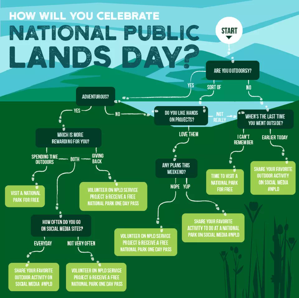
ALT Flowchart guiding how to celebrate National Public Lands Day based on outdoor preferences and activities like visiting parks or volunteering.
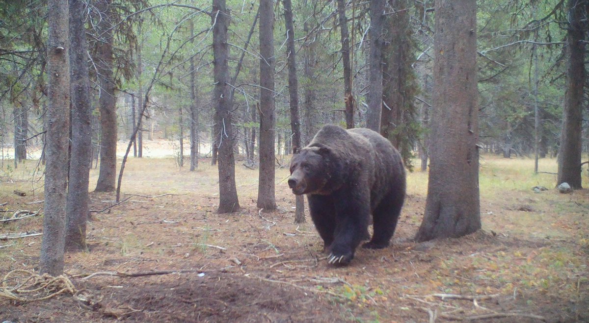
ALT Large Greater Yellowstone Ecosystem grizzly bear moving among the trees.
ALT Large Greater Yellowstone Ecosystem grizzly bear
ALT Angler holding brown trout in a while it is partially in a river. A landing net is next to the angler.
ALT Two anglers fishing in a Montana river. Green, grassy vegetation is behind them and hills and a snow-capped mountain are in the far distance.