
9 Dec 2025
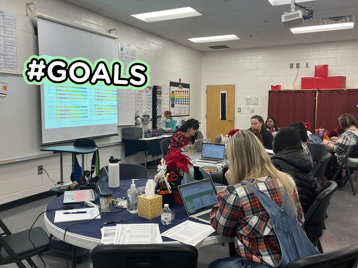
Day 1 of our mid-year Whole Child Data Talks and half-day instructional planning was a success! Luella teachers are accelerating impact and pushing student achievement to new heights. 🦁📊 #LuellaElementary #AcceleratingImpact #LearnersExceedingStandards

2
8
368

🌍 As part of @esa_gda_, e-GEOS has led the thematic area on 𝐅𝐫𝐚𝐠𝐢𝐥𝐢𝐭𝐲, 𝐂𝐨𝐧𝐟𝐥𝐢𝐜𝐭 𝐚𝐧𝐝 𝐒𝐞𝐜𝐮𝐫𝐢𝐭𝐲.
🤝 Together with @DLR_en, @hensoldt, @VITO_RS_, @JanesINTEL and @CGI_Global, ten use cases were developed for @WorldBank, @ADB_HQ and @IFAD, in support of their efforts to foster economic development and environmental security in fragile countries.
🌿 The following @IFAD Report focuses on monitoring livestock migration routes in #Sudan using cropland maps based on #satellite imagery.
🛰️ The study assessed how #Geoinformation can support IFAD in the development of transhumance routes and in conflict prevention. Cropland maps were produced and integrated with #EarthObservation data to analyse the evolution of #IFAD routes. The results show that these maps can monitor route use, measure the effectiveness of interventions, identify potential conflict areas and support local authorities. By integrating geo-referenced conflict data, it is also possible to correlate agricultural land use with episodes of tension between farmers and herders.
🔗 𝘓𝘦𝘢𝘳𝘯 𝘮𝘰𝘳𝘦 𝘪𝘯 𝘵𝘩𝘦 𝘐𝘍𝘈𝘋 𝘙𝘦𝘱𝘰𝘳𝘵: ifad.org/en/w/publications/u…
#WeUnlockEarth | #AcceleratingImpact
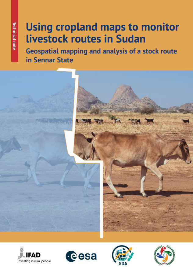
ALT Report IFAD: Using cropland maps to monitor livestock routes in Sudan
1
4
188

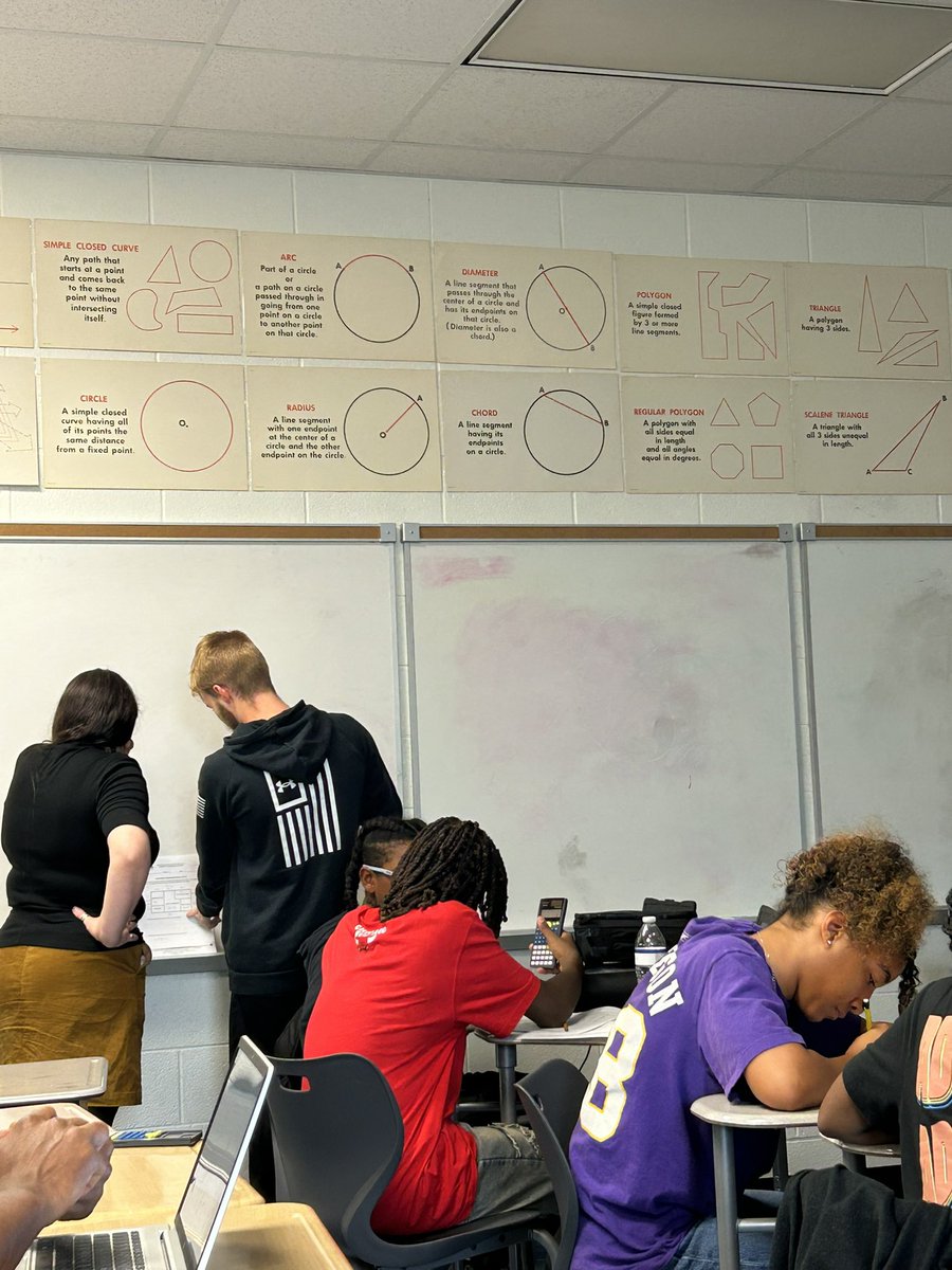
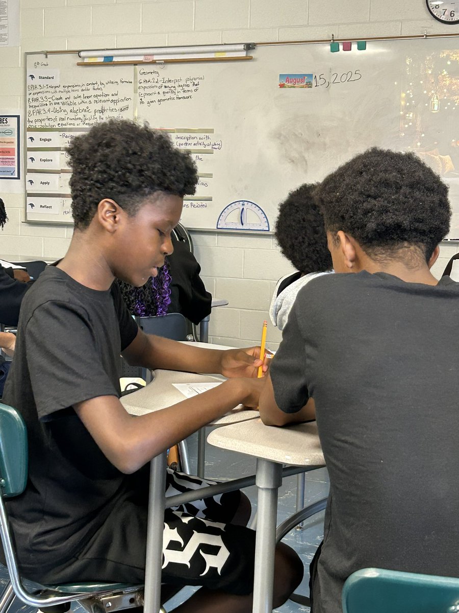
15 Aug 2025
9
346

28 Jul 2025
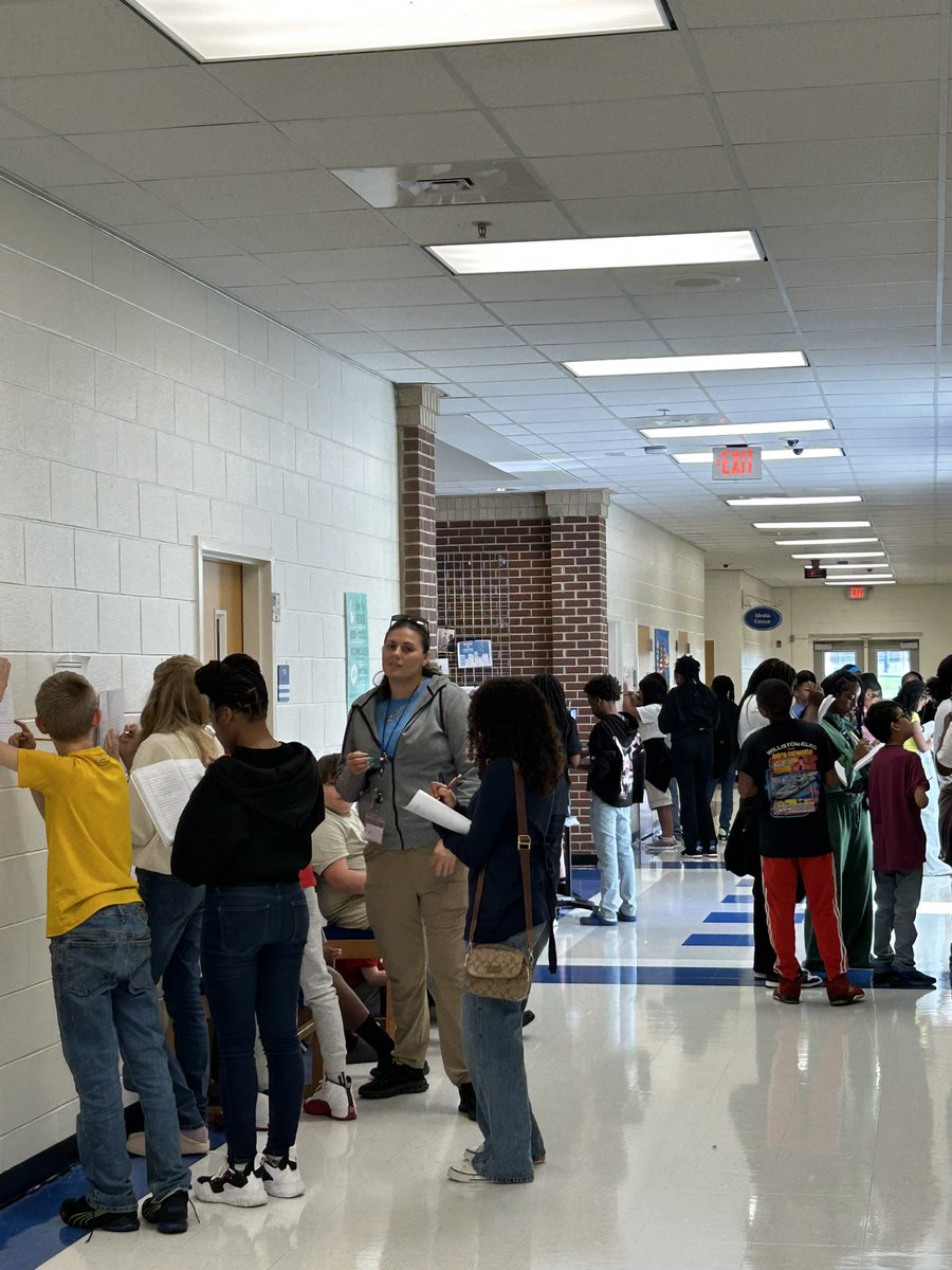
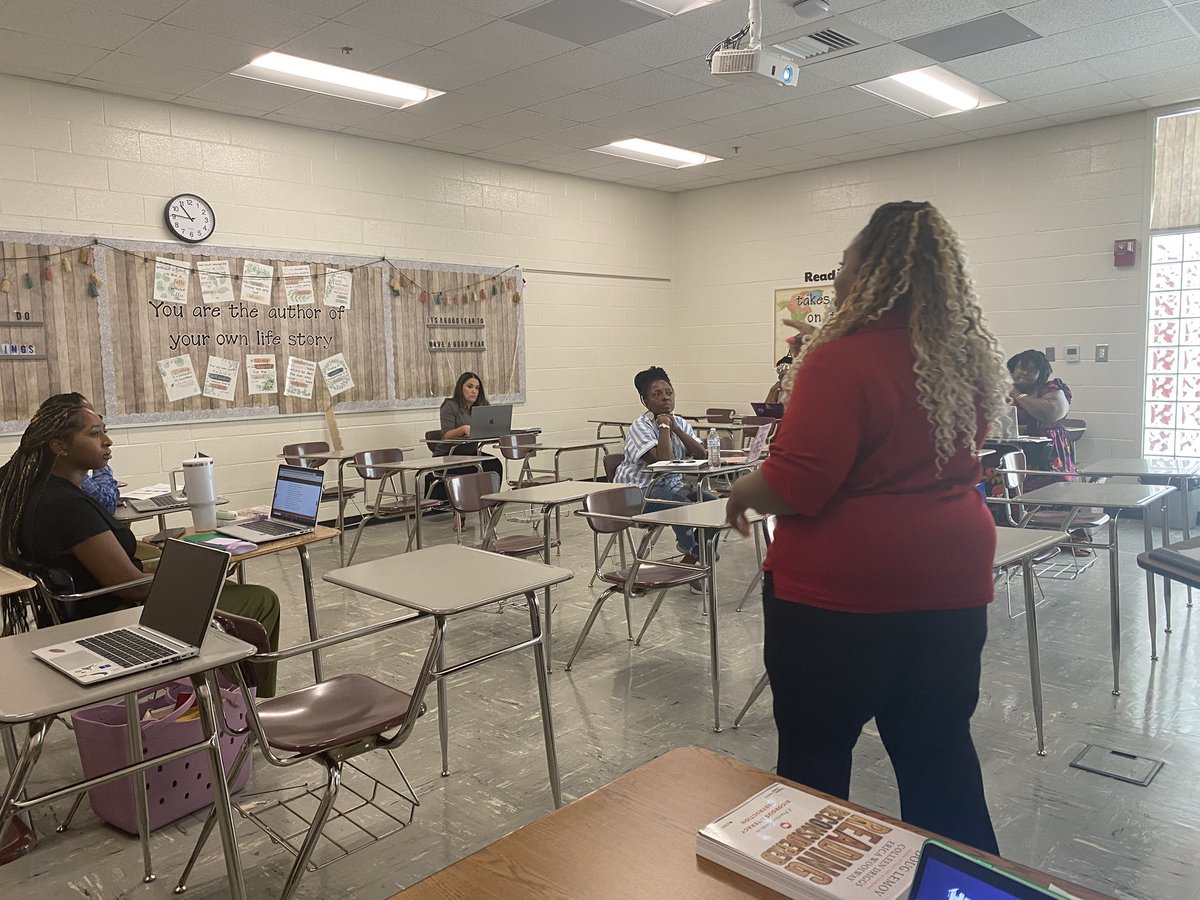
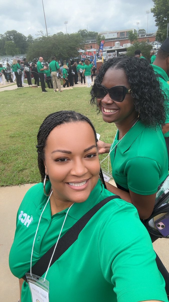
ELA DC @RashetaWright and I represented @WHS_HCS at the first PL session for ELA teachers! Teachers received PD on planning rigorous questions and establishing norms so students feel safe to ask and answer questions in the classroom. #AcceleratingImpact @GiftedELAGuru @BSmithHCS

2
2
10
231
25 Jul 2025
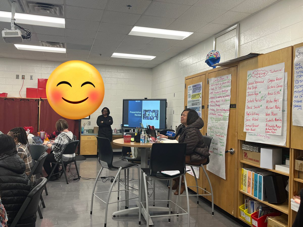
Day 1 of pre-planning was a success! Thank you, Luella staff, for showing up with energy, passion, and commitment to our vision. We are Accelerating Impact with Boots on the Ground & Data in Hand! 🦁📊 #LuellaElementary #AcceleratingImpact #BootsOnTheGround @TwylaBarkley


1
2
11
464

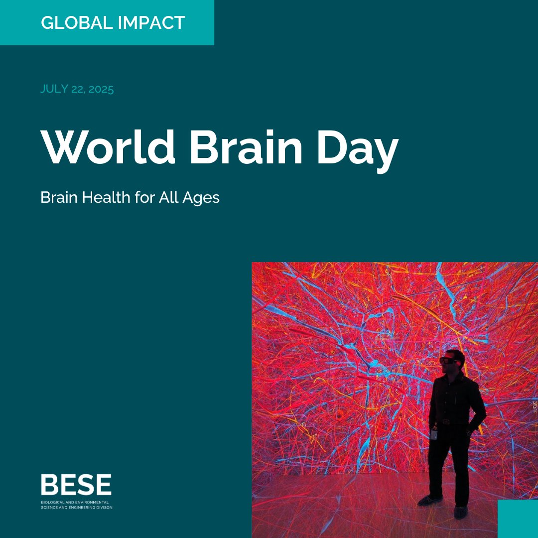
22 Jul 2025
*World Brain Day 2025 - Brain Health for All Ages*
On World Brain Day, KAUST recognizes the critical role of research in understanding how the brain works and improving human health.
BESE researchers are advancing tools and models at the systems, molecular, and engineering levels—contributing to brain-inspired computation, early diagnostics, and personalized medicine.
Study with us, collaborate on research, or join the next generation advancing brain science.
Guided by Discovery — Identified by Impact
bese.kaust.edu.sa
#WorldBrainDay #SmartHealth #KAUSTResearch #AcceleratingImpact
3
148

31 May 2025
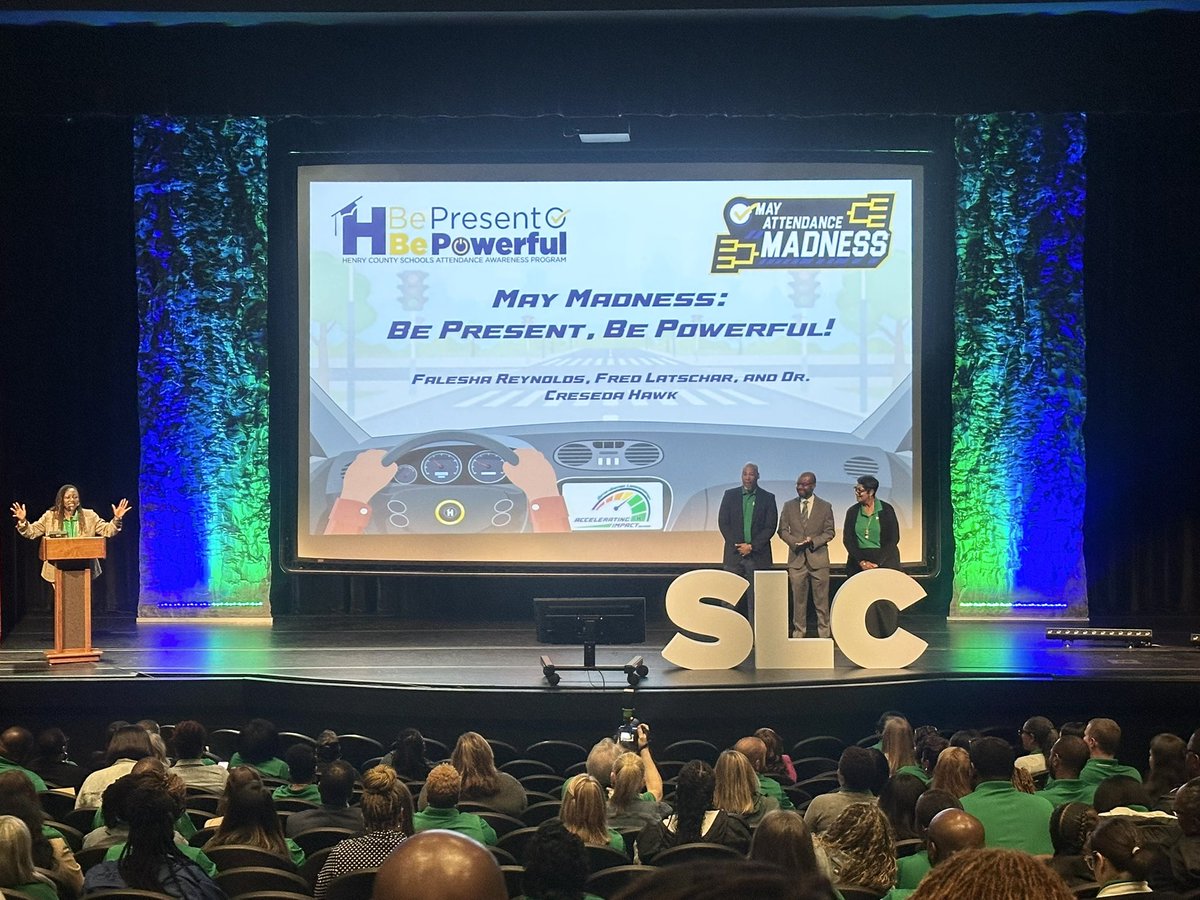
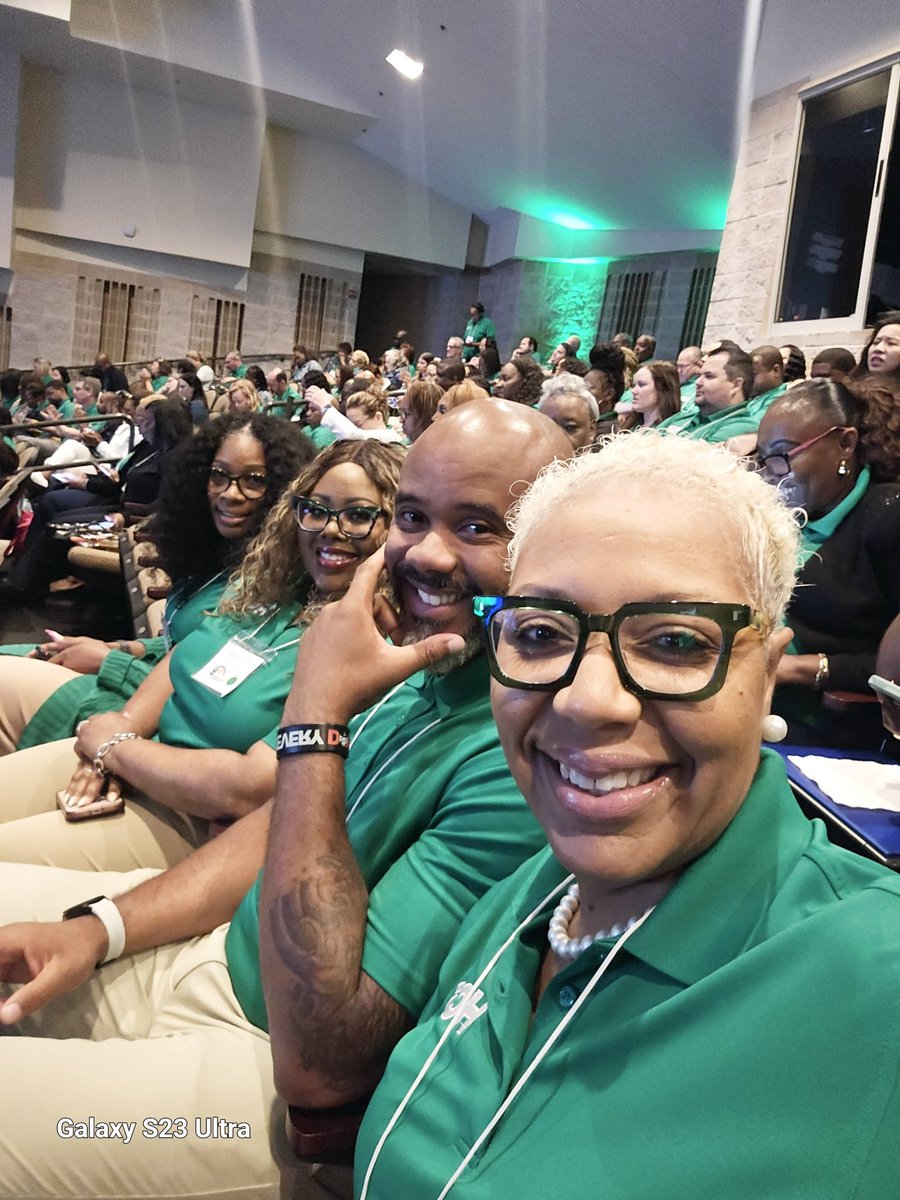
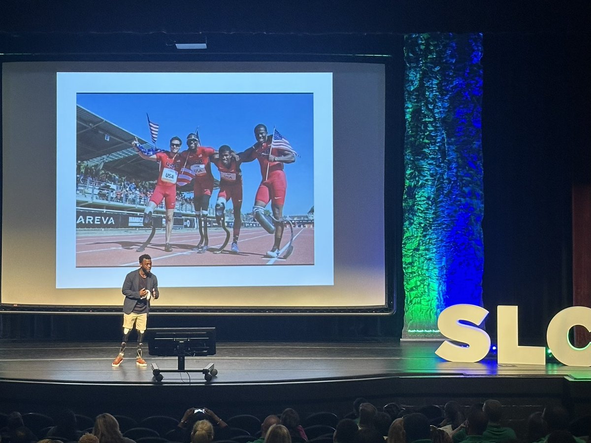
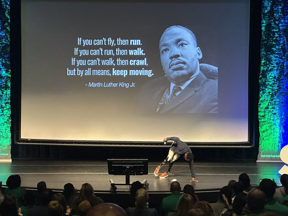
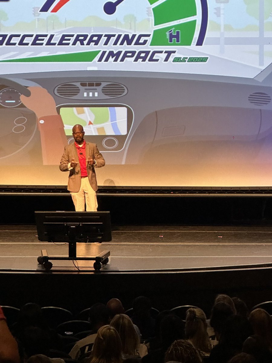
Day 2 SLC. It was an Amazing and Informative Learning experience. From the guest speaker who spoke about knowing your “Why” to the sessions that delivered a plethora of knowledge. @HenryCountyBOE
@SHS_HCS
#AcceleratingImpact
#slc2025
4
297

30 May 2025
Day 1: SLC. @TermerionMLakes we have come full circle. From visiting my classroom with the district to see my differential instruction that got those scores, now seeing me as an AP at SHS in HCS. Thank you for your knowledge and inspiration. @HenryCountyBOE @SHS_HCS
#AcceleratingImpact


11
488
30 May 2025
1st year as Henry County AP’s complete! We made it, now we are gearing up to Accelerate into year TWO! #AcceleratingImpact
#slc2025
@HenryCountyBOE
1
20
796
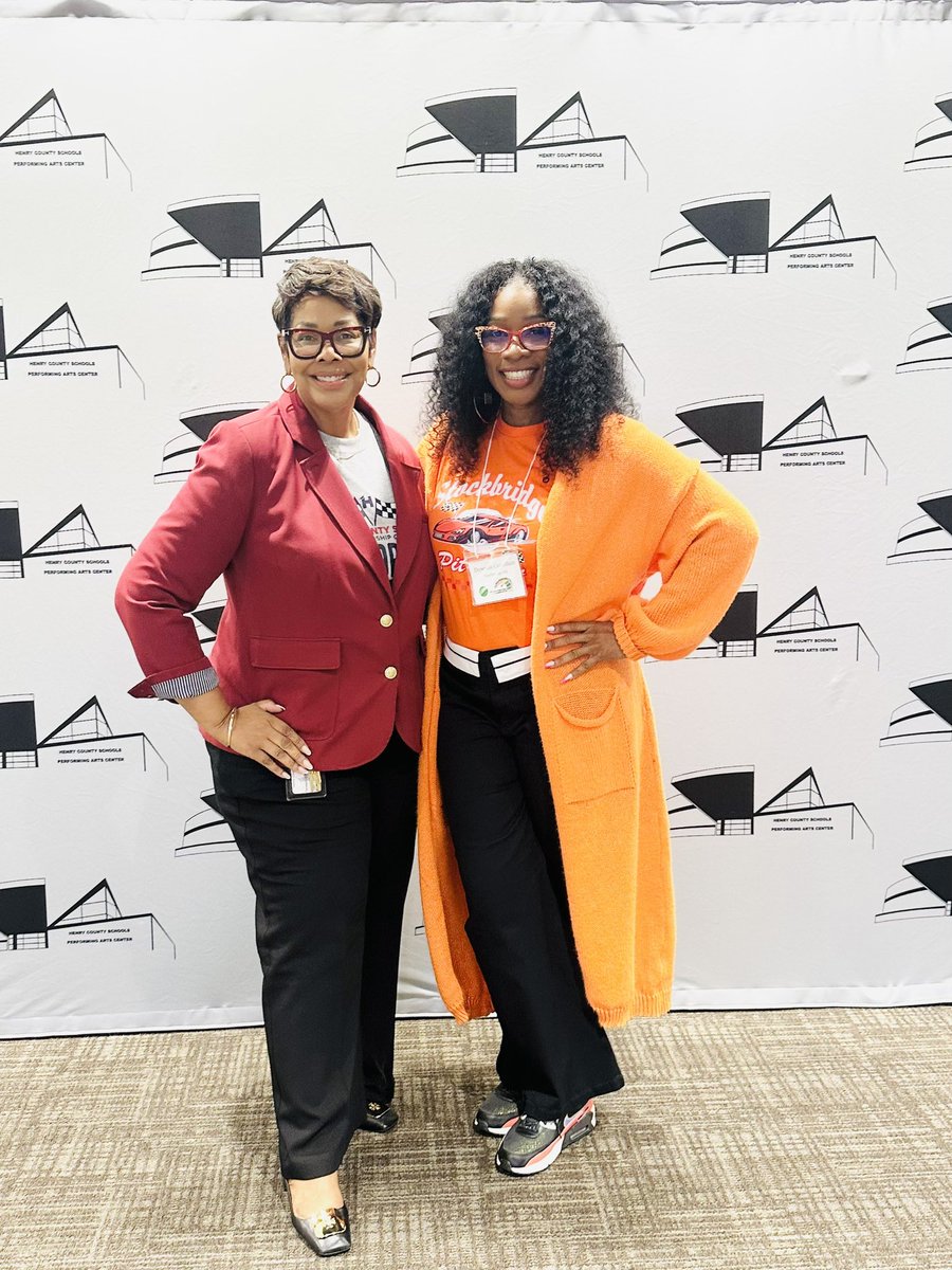
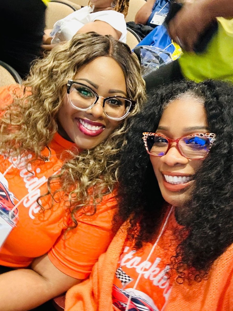
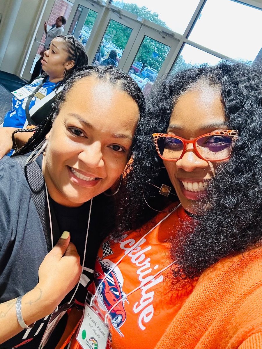
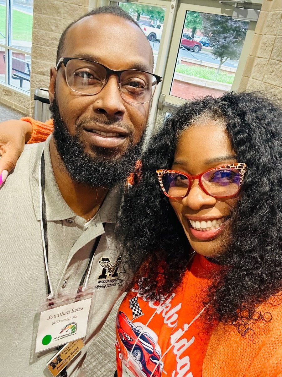
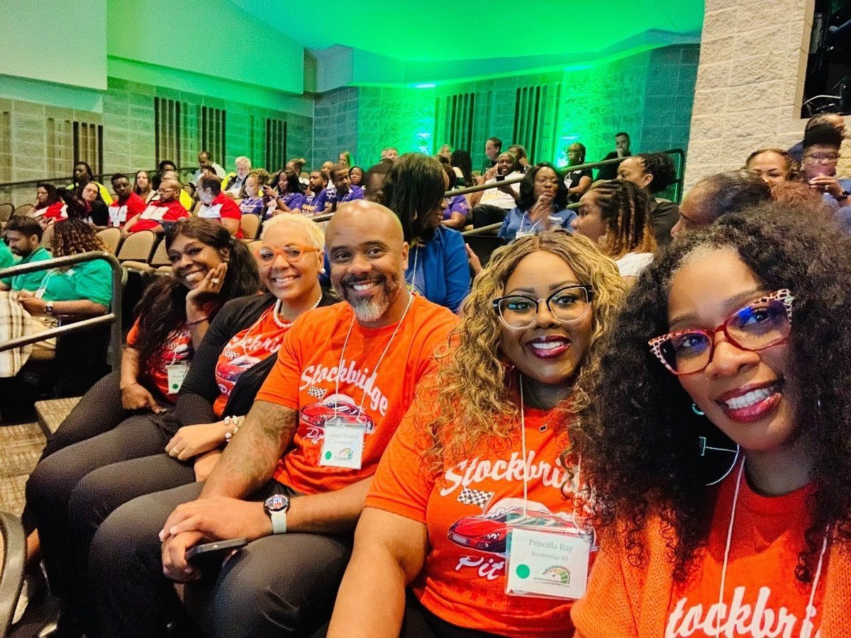
30 May 2025
Day 1 Data Driven Leadership. Stockbridge HS ZRHOOMING towards greatness. #AcceleratingImpact
#SLC
@SHS_HCS @HenryCountyBOE
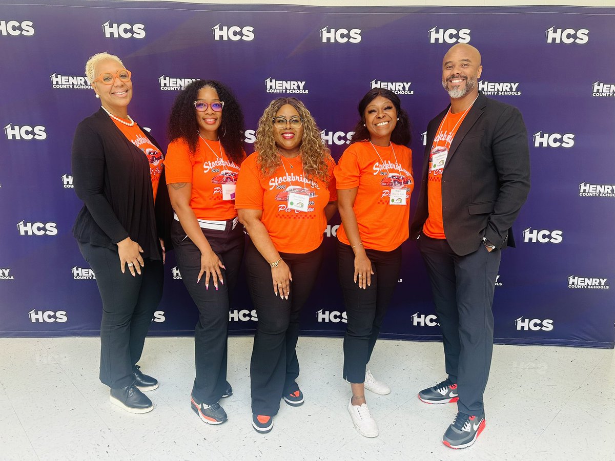
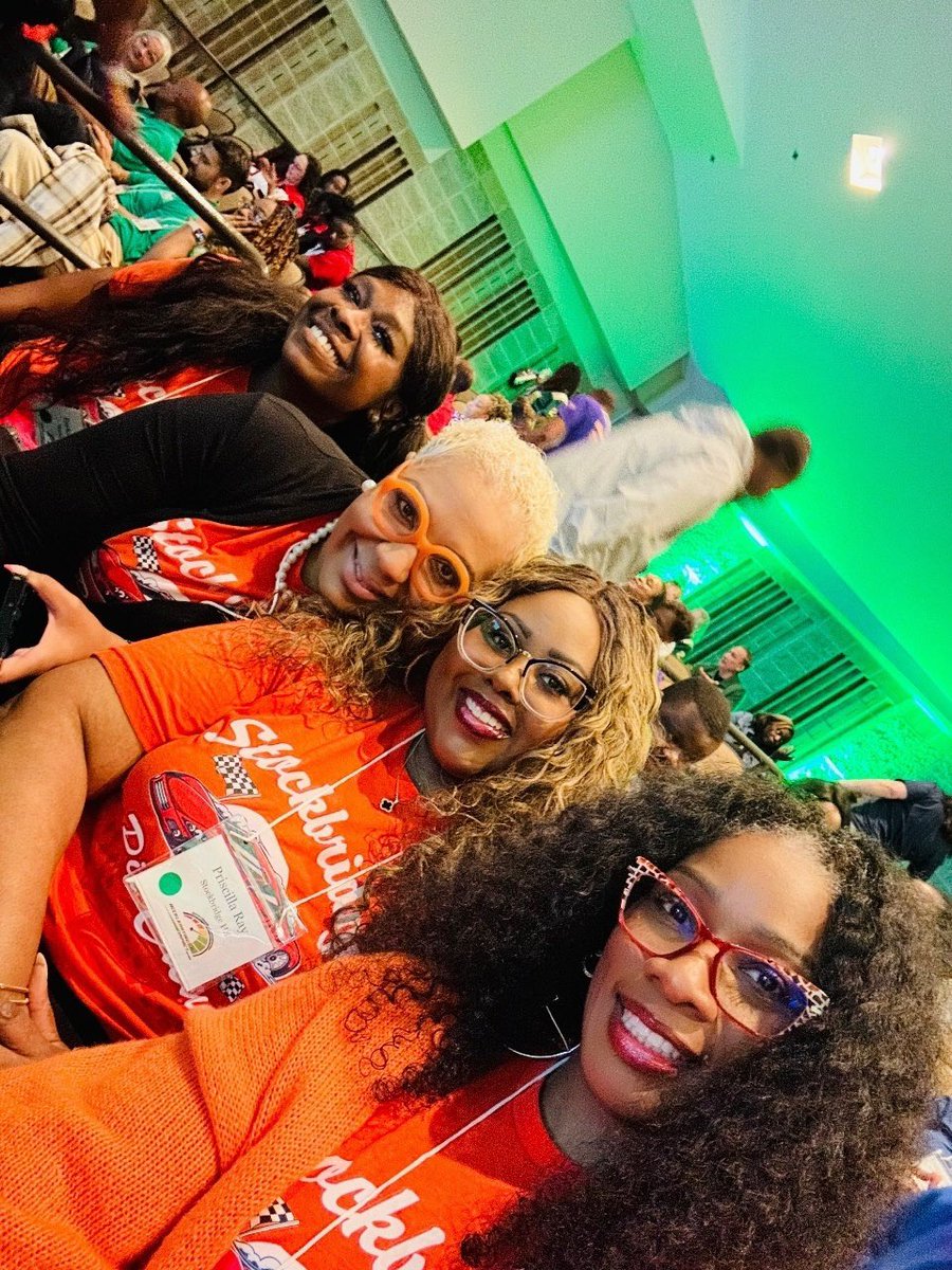
9
484

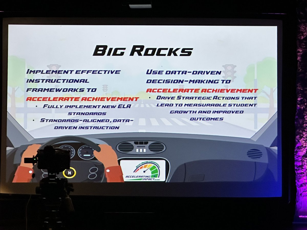
29 May 2025
Experiencing learning acceleration at the SY25 @HenryCountyBOE SLC 🏁 @seancovey
#acceleratingImpact #Driverofchange
17
344

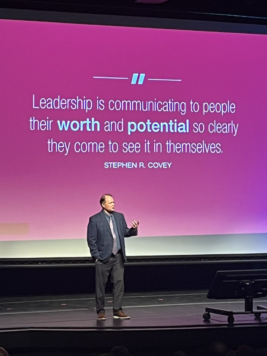
29 May 2025
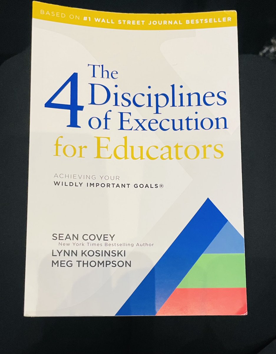
Thank you Sean Covey for presenting The 4 Disciplines of Execution to Henry County Educators! #AcceleratingImpact @OES_HCS @HenryCountyBOE

2
10
368

24 Apr 2025
محظوظين في سموه، وخطوة استراتيجية تُعزز تكامل الجامعات البحثية مع قطاعَي الطاقة والصناعة.
تعيين سمو الأمير عبدالعزيز بن سلمان رئيسًا لمجلس أمناء #كاوست سيُحدث فارقًا نوعيًا في ربط #البحث_العلمي بالاحتياجات الوطنية وتحويله إلى أثر تنموي ملموس ومستدام.
#AcceleratingImpact #رؤية_السعودية_2030
24 Apr 2025

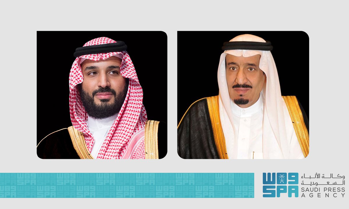
صدر أمر #خادم_الحرمين_الشريفين.. بناءً على ما عرضه سمو #ولي_العهد رئيس #مجلس_الوزراء، بتعيين صاحب السمو الملكي الأمير عبدالعزيز بن سلمان بن عبدالعزيز رئيسًا لمجلس أمناء جامعة الملك عبد الله للعلوم والتقنية #كاوست.
spa.gov.sa/N2305300
#واس
2
729

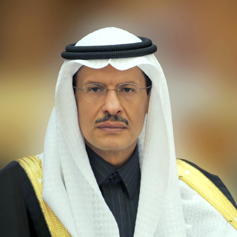
24 Apr 2025
Based on the recommendation of HRH, the Crown Prince, a Royal Order was issued appointing HRH Prince Abdulaziz bin Salman as Chairman of #KAUST’s Board of Trustees.
We look forward to advancing #AcceleratingImpact to drive innovation and scientific research.
2
23
84
6,018

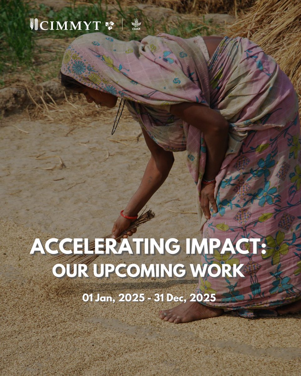
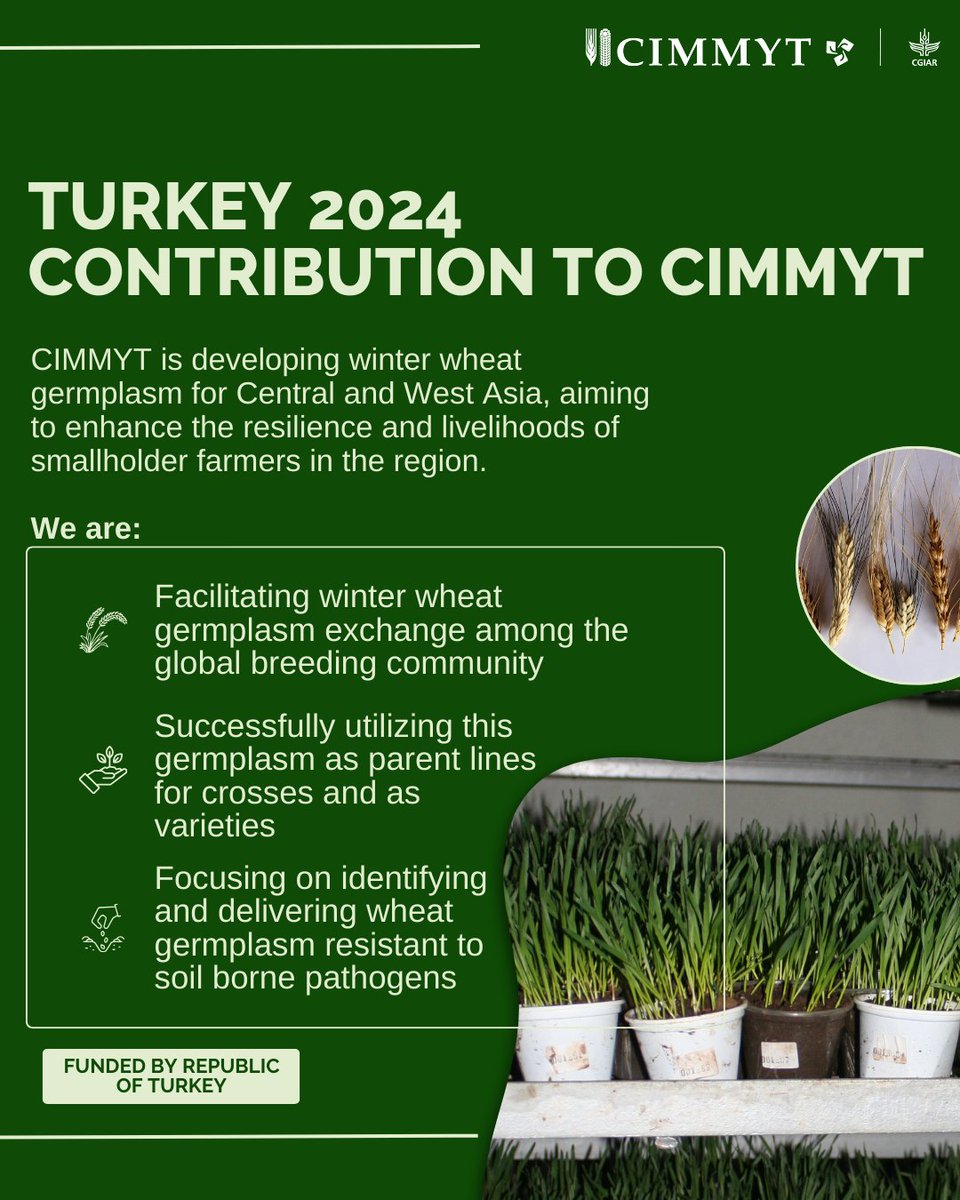
#CIMMYT is #AcceleratingImpact in Central and West #Asia! 🚀
Funded by the Republic of Turkey, this initiative aims to enhance #resilience and #FoodSecurity for smallholder farmers across the region. Stay tuned for more upcoming projects. 🔍
7
646

NEW REPORT: IFC committed all-time record of $56 billion in investments in FY24 to create jobs, support businesses, address climate priorities, empower women, and provide opportunities for those most in need. Download our annual report: wrld.bg/rzLk50UBu4L #AcceleratingImpact
2
4
12
1,088
174 million people accessed digitally enabled services through IFC's initiatives in FY24. Learn how this boost in digital connectivity is helping to unlock new opportunities for individuals and businesses in emerging markets: wrld.bg/lYkB50TSV5F #AcceleratingImpact

1
4
780
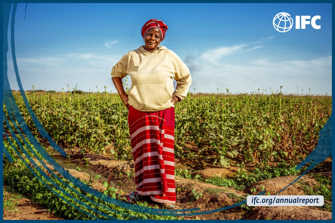
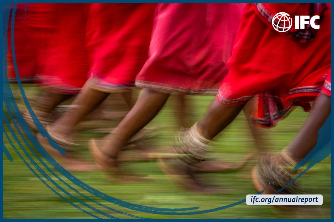
By creating jobs and opportunities that help reduce poverty and improve living standards, IFC is delivering impactful results in building a better future for the people that are most in need.
Learn more: wrld.bg/lYkB50TSV5F #AcceleratingImpact
2
4
867

30 Dec 2024
🚦 How can EO transform mobility and infrastructure? We partner with @WorldBank, @ADB_HQ & @the_IDB empowering sustainable, climate-resilient transport in low- & middle-income countries.
📽️ Discover how EO bridges tech & world needs:
youtu.be/KmI2whlp_CE
#AcceleratingImpact

1
4
195