
10 Feb 2025
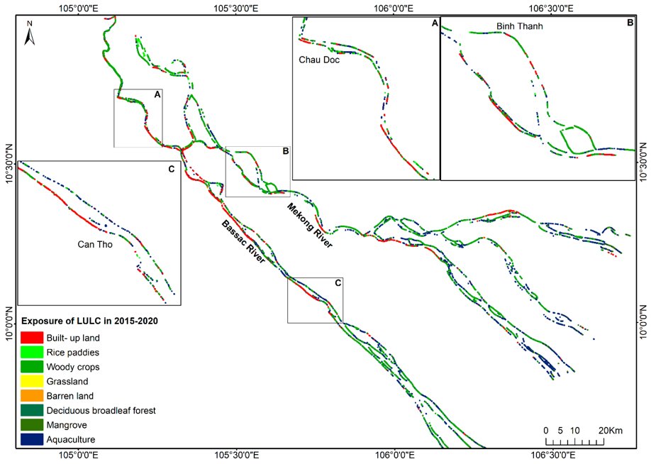
👉👉 Quantifying Spatio-Temporal #River #Morphological Change and Its Consequences in the Vietnamese #Mekong River #Delta Using Remote Sensing and #GeographicalInformationSystem Techniques
✍️ Thi Huong Vu et al.
🔗 brnw.ch/21wQASO
1
2
390

24 Jan 2025
कश्मीर के चिनार के पेड़ों को किया जाएगा जियो-टैग से लैस, मिलेगा यूनीक कोड
#Srinagar #JammuKashmir #KashmirChinars #FRI #Moderntechnology #GeographicalInformationSystem #DigitalTree #NaturalHeritage #GeoTagged #Database #JammuKashmirGovernment #ChinarTrees #jantvdigital #KashmirVally #Historical #QRCode @OmarAbdullah @BJP4JnK @diprjk #JANTV_GS
2
12
54

14 Jun 2023
Lucknow civic body collaborates with electricity department to collect property tax #Lmc #SushmaKharakwal #UttarPradeshPowerCorporationLimited #GeographicalInformationSystem #Lucknow #LucknowMunicipalCorporation realty.economictimes.indiati…
2
182

12 Mar 2022
We provide solutions for stakeholder problem in obstacle management with customizable web services.
#customizablewebservices #geographicalinformationsystem

2

20 Sep 2021
ITEC presents an #eITEC programme on #GeographicalInformationSystem. It will enhance participant’s understanding of various dimensions of geo spatial #technology and will give an overview of #RemoteSensingApplications.
To participate, visit itecgoi.in/e-itec
1
5

18 Jun 2021
Everything You Need to Know About Spatial Data Science
bit.ly/3zw1kkl
#spatialdatascience #datascience #data #sds #GIS #geographicalinformationsystem #python
2
2

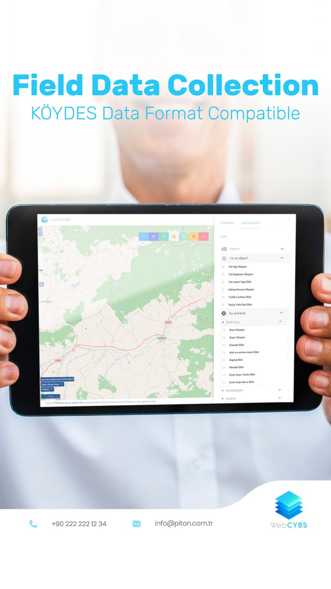
14 Oct 2020
WebCYBS provides to collect data from the field via the mobile application in accordance with the KÖYDES data format and enable field forces to collect digital, verbal and visual data as well as precise location.
#köydes #gis #geographicalinformationsystem
1
3

25 Sep 2020
Rajdharaa – Using technology to boost civic infrastructure
To read: bit.ly/3kFYktc
#Throwback #Magazine #Aug2018 #EletseGov #eGov #Rajasthan #DigitalIndia #DigitalRajasthan #SuraajPortal #egovernance #GeographicalInformationSystem #Rajdharaa #Technology
1
2 Apr 2020
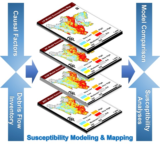
Comparison of Different #MachineLearning Methods for #DebrisFlow #SusceptibilityMapping: A Case Study in the Sichuan Province, China
by Ke Xiong, Basanta Raj Adhikari, et al.
👉mdpi.com/2072-4292/12/2/295/…
#remotesensing
#geographicalinformationsystem
4
7

16 Mar 2020
#Brain_Booster
विषय (Topic): भौगोलिक सूचना प्रणाली (Geographical Information System - GIS)
For English Click Here:👇👇👇
dhyeyaias.com/brain-booster/…
For Hindi Click Here:👇👇👇
dhyeyaias.com/hindi/brain-bo…
#DhyeyaIAS #IAS #UPSC #CSE #GIS #GeographicalInformationSystem #accurateexecution


2
7

3 Feb 2020
Taluka-wise #GIS mapping for #Goa to protect water bodies from increasing construction activities.
#goa #construction #waterbodies #panaji #gis #locationanalysis #protectbeaches #protectwaterbodies #geographicalinformationsystem
bit.ly/31lWhlu
2

14 Nov 2019
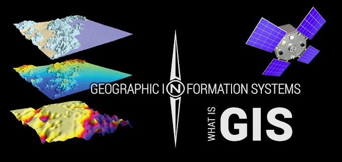
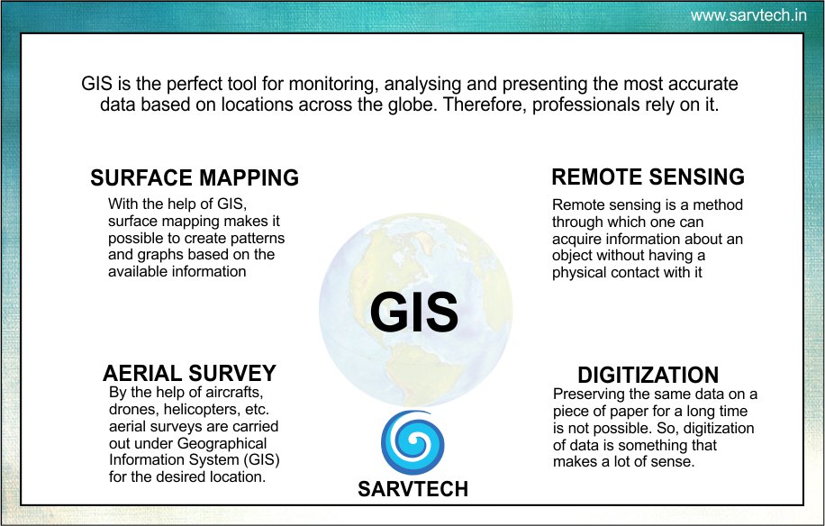
#GeographicalInformationSystem is a series of systems and apps connected to each other, designed to capture, store, manipulate and analyze spatial or geo-spatial data.
Must Read: #GIS a brief overview and its Applications
< bit.ly/32LXyBq >
1
1

6 Jun 2018
Cabinet approves the extension of MoU between India and Netherlands on technical cooperation in Water Management devdiscourse.com/Article/218…
@PMOIndia #MoU #WaterManagement #MobilityManagement #GeographicalInformationSystem #GIS #JointWorkingGroup #JWG
1

26 Jun 2016
#realestate #GeographicalInformationSystem #GIS
Use of Geographical Information System (GIS) in Real Estate lnkd.in/fjsnncM
1


1