
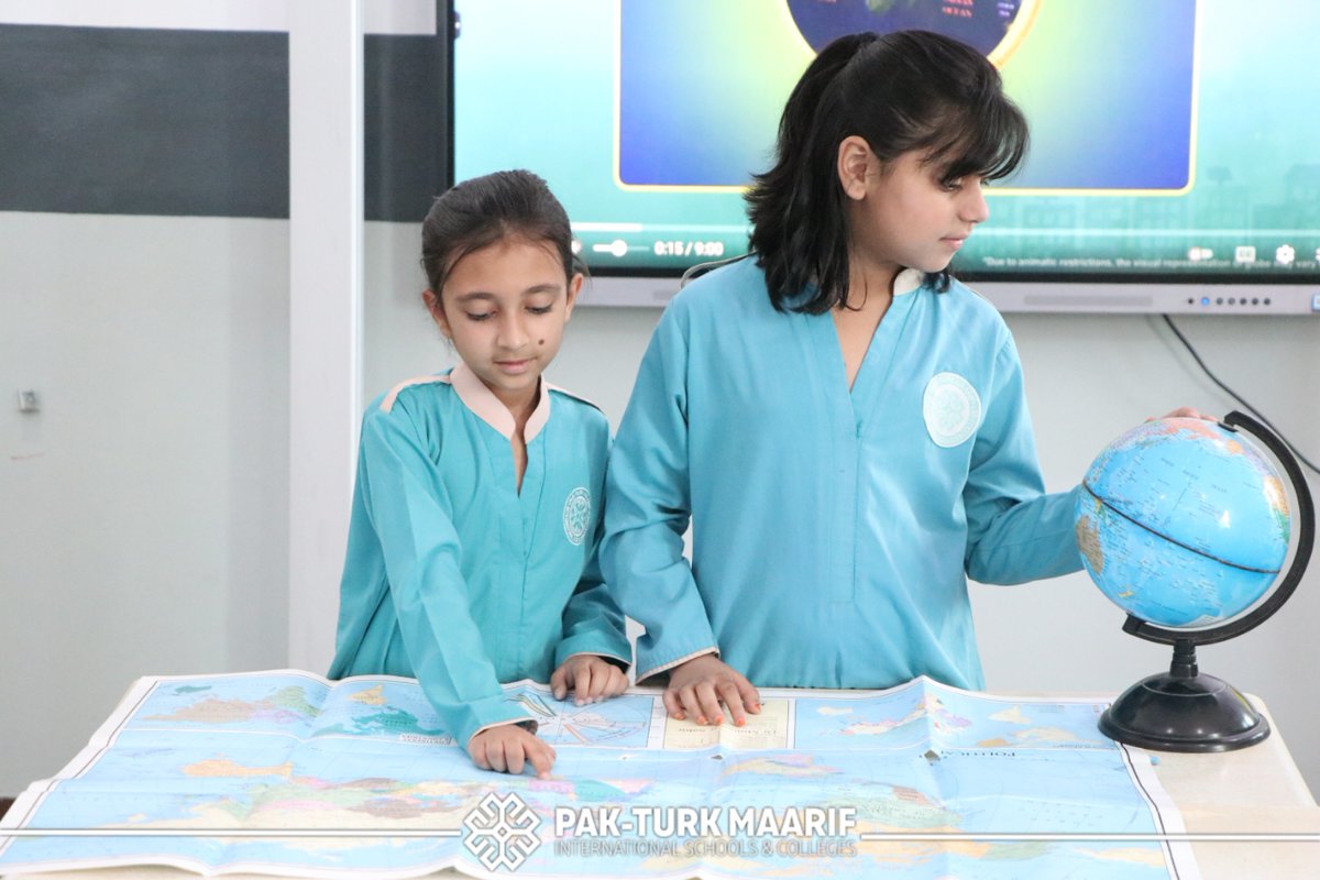
🤩 "Russia Is So Big!": Participants of the "Wings Over Sukhum" Contest Discover "Geography Lessons"
Young artists from Abkhazia visited the National Centre on Russia Day. One of the main points of the programme was a tour of the "Geography Lessons" exposition. The children saw old maps, learnt about the history of travel and discoveries, found out more about the natural wealth of our country and explored space development.
💭 "I was really surprised that, on early maps, the South and the North seemed to have 'swapped places'. We are used to one kind of map, but here we saw how differently people imagined the world in the past," Veronika Eyupova shared.
The halls dedicated to Russia’s nature and astronomy made a particularly strong impression on the participants.
💭 "I learnt that Russia is not only a huge country, but also a very diverse one: it has large lakes, mountains and different types of rocks. It was interesting to see how people lived on ships, how my grandmother and godmother studied at school, and to compare it with the way we study," Sofia Vlasova said.
The trip to Moscow was a prize for 10 winners of the "Wings Over Sukhum: Bridge of Friendship" children’s art contest. Young artists from Abkhazia submitted almost 200 works in the categories "Sky of Apsny", "Russia — Abkhazia Bridge of Friendship" and "Vladislav Ardzinba Airport".
#gowithRussia #Abkhazia #GeographyLessons #Russia
3
12
69

Jun 11
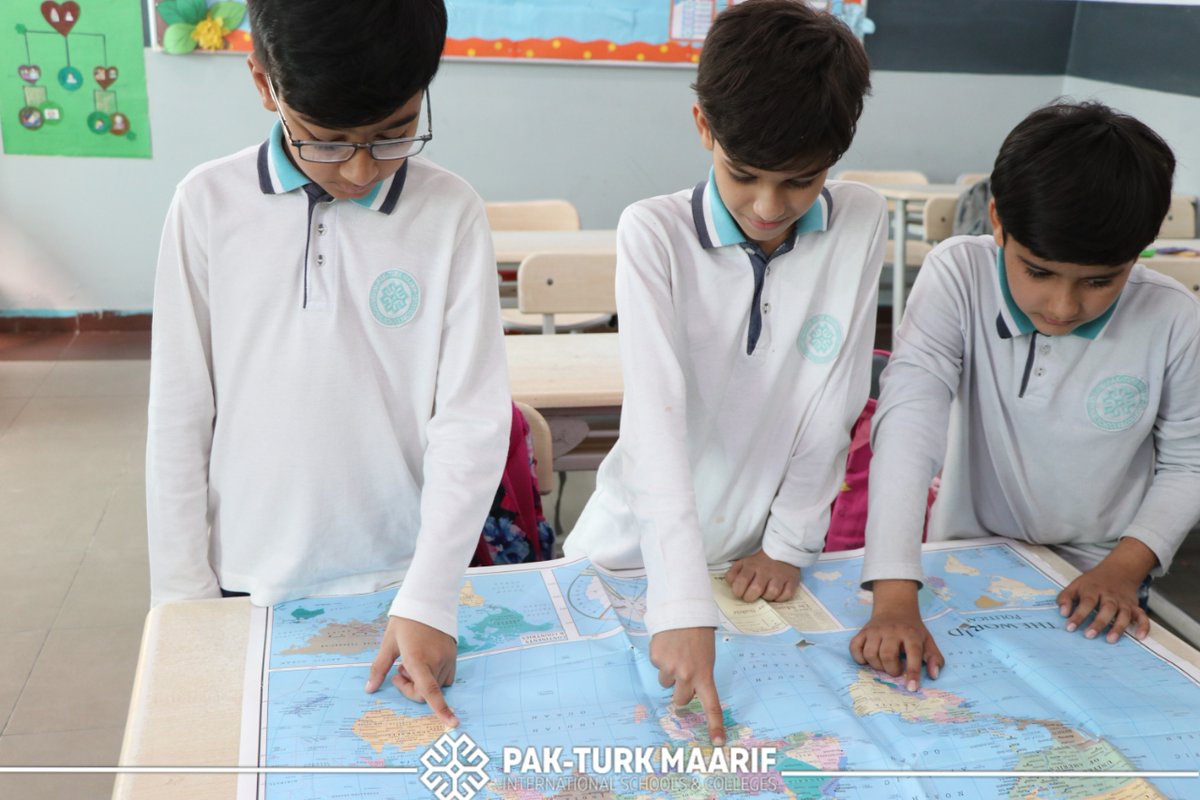
🌍 Year 5 became traders for the day!
To launch their new Geography unit on global trade, pupils negotiated deals, solved problems, and worked together to turn resources into products. Real-world learning in action. 🌟
#GeographyLessons #ActiveLearning #EastLondonSchools


1
15

Apr 17
Hey @Tejasvi_Surya, just checking the latest map - did the Musi River become the Radcliffe Line overnight? 🧐
Comparing the formation of Telangana to the India-Pakistan Partition is 🤮
I guess in your version of history, the 1947 struggle was just a "bifurcation bill" that went sideways? 🇮🇳🤦🏽♂️
#Telangana #GeographyLessons #HistoryRedefined

2
84

27 Mar 2025
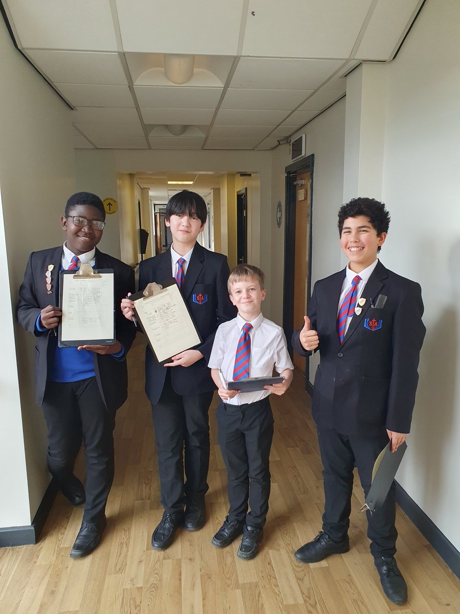
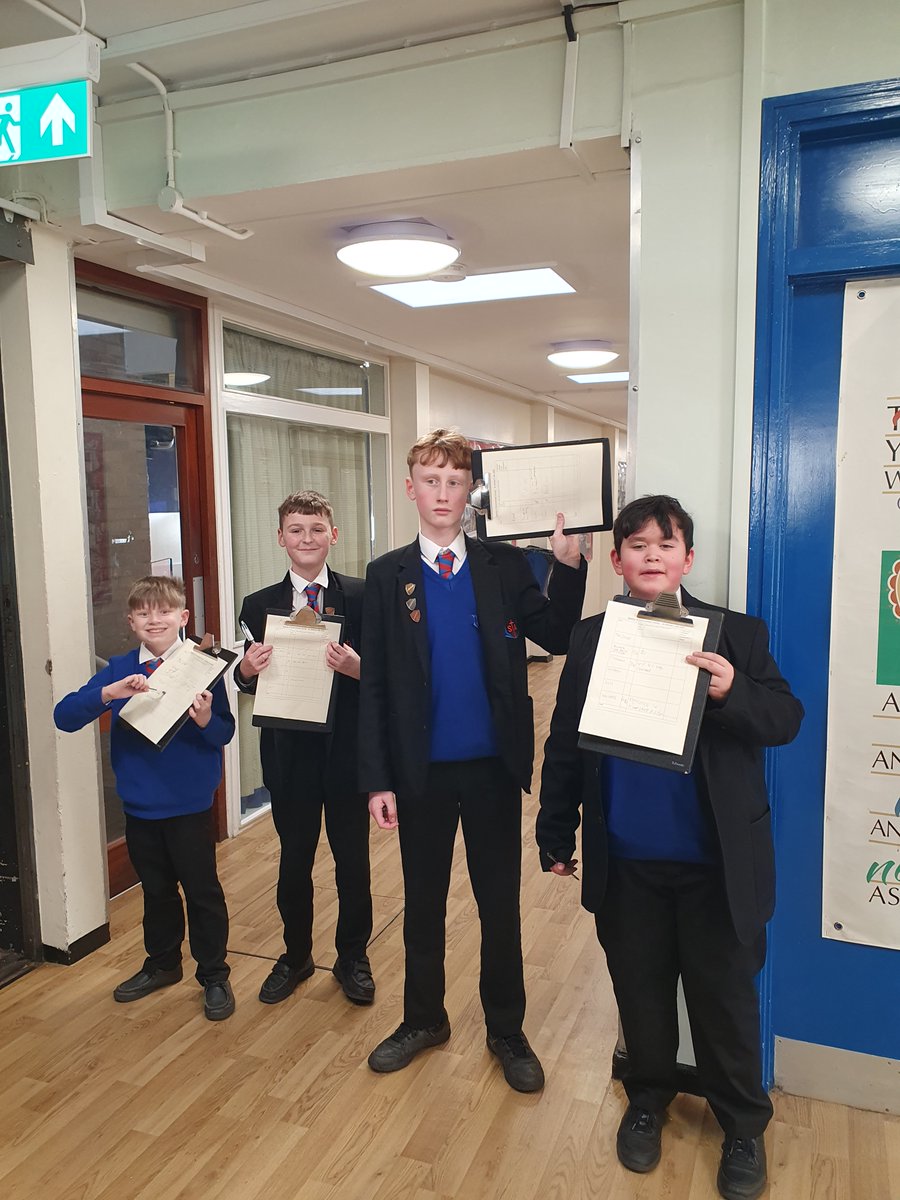
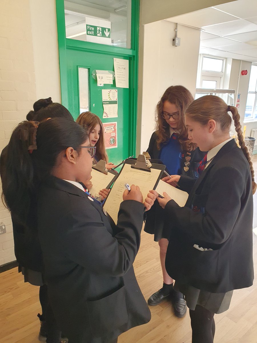
Our Year 7 students did an excellent job with their fieldwork, assessing the environmental quality of our school! 🌍
They demonstrated great teamwork, behaviour, and commitment, collecting fantastic data that they’ll be using to analyse and draw conclusions in their next lesson.
Mrs Williams is very proud of their hard work and enthusiasm! 👏
#geographylessons #fieldwork #year7 #schoollife #environmental #Teamwork

2
143

27 Feb 2025
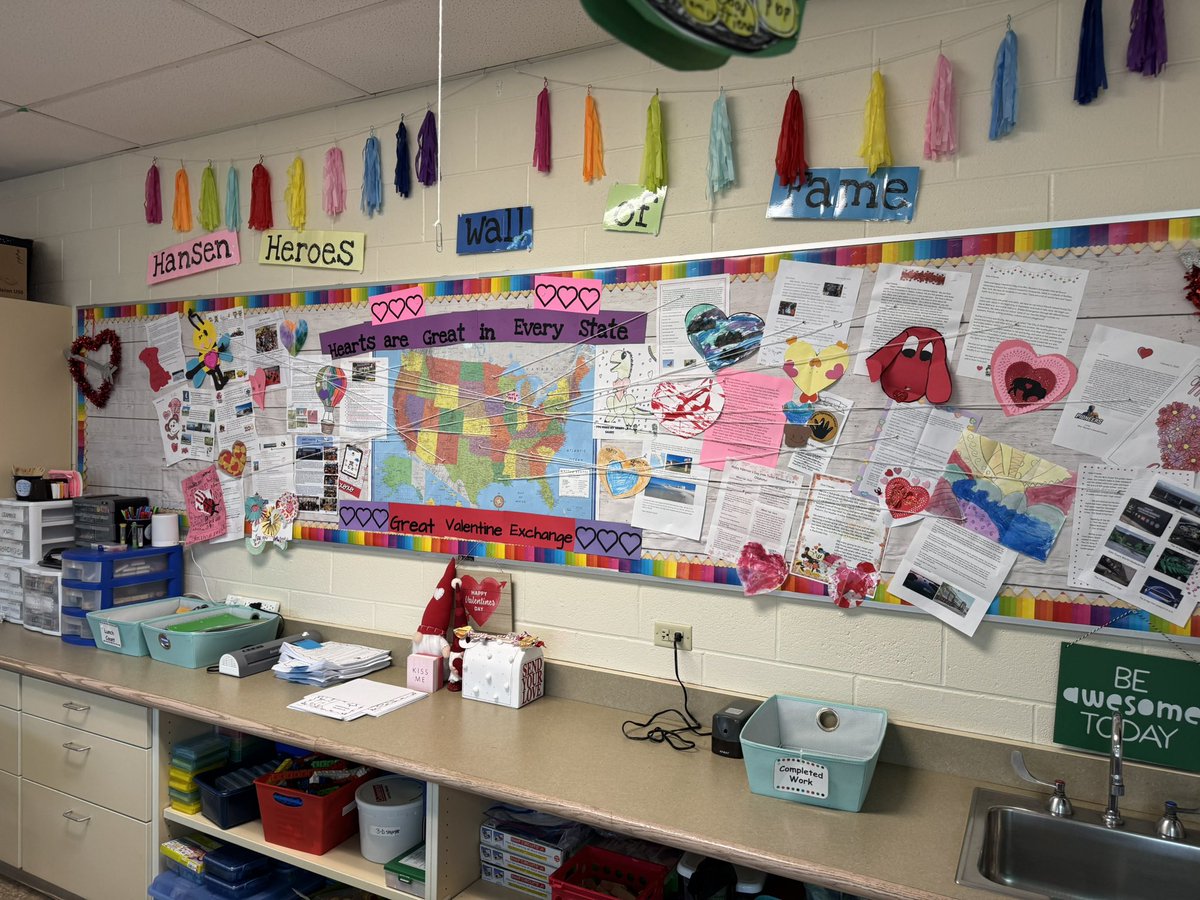
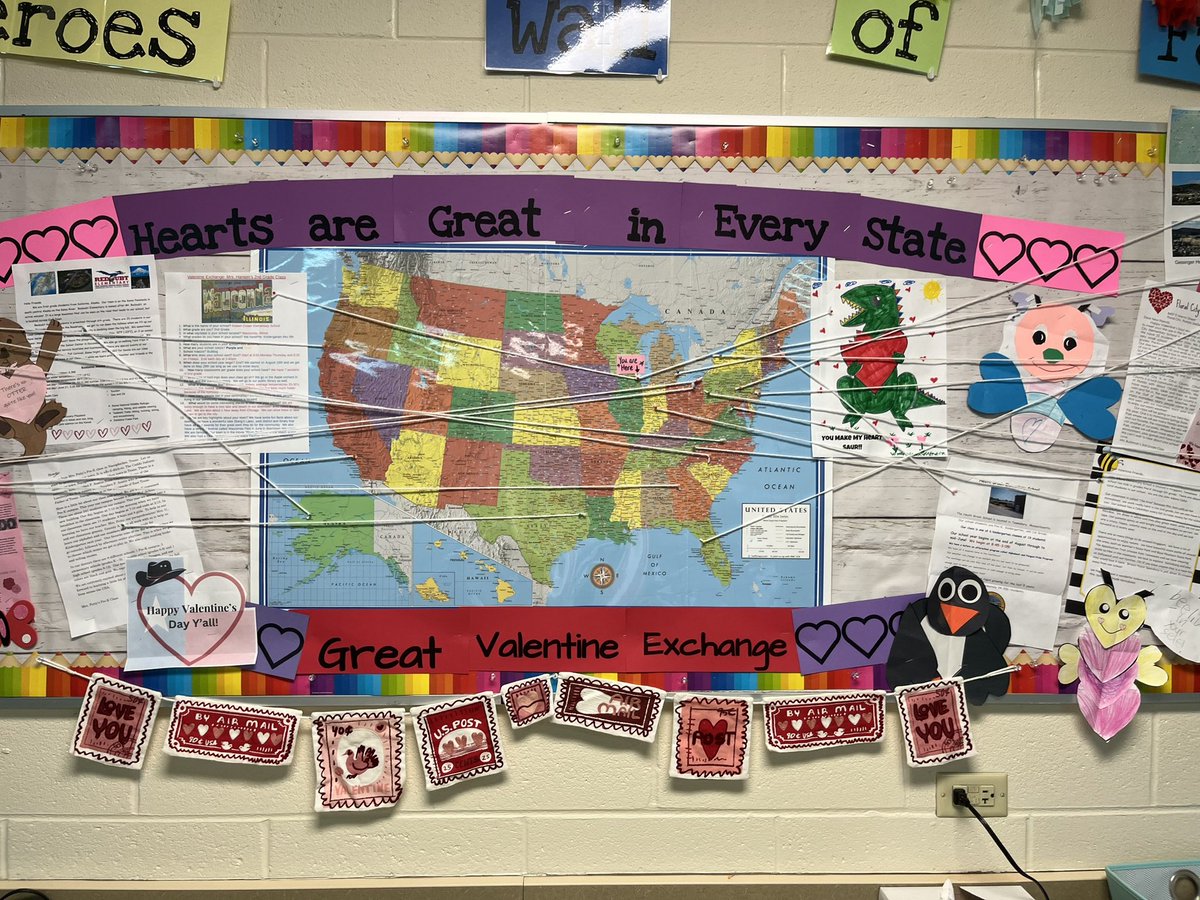
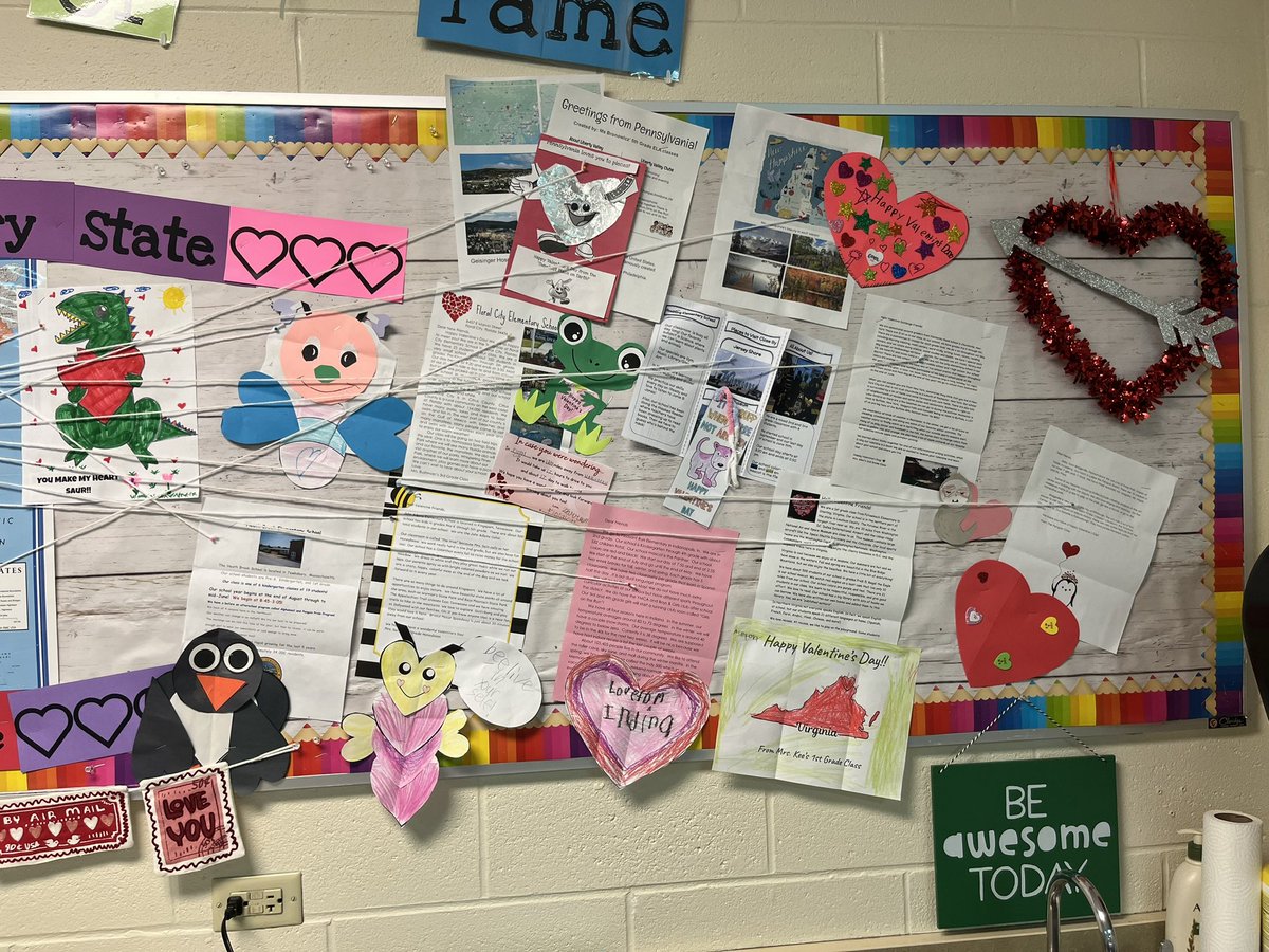
“Hearts are Great in Every State!!” 💜💛Hansen Heroes enjoyed exchanging letters with schools across the United States (22 states!). We learned about how our schools are the same, different and where they are located on the map. @RobertCS118 #rcs118life #geographylessons


1
5
167


26 Aug 2024
fb.watch/ucbJpQzWX8/ Discovering India's diverse landscapes with Ms. Somya Bhatia! Learn about the major physiographic divisions of India and explore the country's unique geography. * #GeographyLessons #IndiaWithMsBhatia #LearnAndExplore🎓#AdmissionsOpen2024-25 #CVPSMeerut📚✨
2
5
22

17 Jul 2024
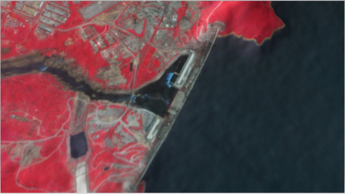
✨ Exploring the Ethiopian Renaissance Dam Through False Color Imagery✨
Let's look at the Ethiopian Renaissance Dam again using the latest satellite imagery from the Copernicus Browser. This image provides an incredible view of the region using the false color layer. Let's dive into this imagery and uncover the layers of information it provides.
Layer Information:
• Selected Layer: False Color.
Understanding False Color Imagery:
False color imagery is a powerful tool in satellite imaging, revealing details that aren't visible in natural color. In this type of imagery, specific bands of light (not visible to the naked eye) are mapped to visible colors, highlighting various landscape features.
What Do the Colors Represent?
• Red Areas Represent healthy vegetation. In the false-color layer, the near-infrared light (which plants strongly reflect) is displayed as red, allowing us to identify dense, healthy plant life areas rapidly.
• Black or Dark Blue Areas: Indicate water bodies such as lakes or rivers. Water absorbs infrared light, making these areas appear dark.
• Bright Blue or Cyan Areas: Highlight urban areas or bare soil; in this context, they also indicate flood entry points to the lake.
• White Areas: Represent clouds, providing a dynamic view of the sky conditions on the image data.
Why Use False Color?
False color imagery is invaluable for several reasons:
• Vegetation Analysis helps assess plant health and density. Healthy vegetation reflects more near-infrared and green light but absorbs red light, making it stand out in red hues.
• Water Body Identification: Water bodies are easily distinguished due to their dark appearance, aiding in studying hydrology and water management.
• Urban and Land Use Mapping: Highlighted urban areas and bare soils help monitor urban sprawl and land use changes.
• Environmental Monitoring: Scientists and researchers can visualize different bands of light to monitor environmental changes, track deforestation, and understand ecological dynamics.
Educational Insight:
Using satellite imagery, especially false color, gives us a unique perspective on our planet. It allows us to observe and analyze aspects of the environment that are not visible to the naked eye, offering more profound insights into ecological and geographical changes.
Summary:
This captivating false-color image of the Ethiopian Renaissance Dam highlights the vibrant vegetation, expansive water bodies, and intricate details of the surrounding landscape. Using false-color imagery can help researchers and environmentalists better understand the area's environmental health and land use, making it a valuable tool.
Additional Data:
• Coordinates: The precise location in the image is at Lat: 10.6783, Lng: 35.4453.
• Eye Height: The image provides an eye height of 84.17 km, giving a broad overview of the area.
#EthiopianRenaissanceDam #SatelliteImagery #FalseColor #CopernicusBrowser #Sentinel2 #EnvironmentalScience #NatureLovers #EarthObservation #GeographyLessons
2
11
1,064
14 Feb 2024
“Hearts are Great in Every State!!” 💜💛Hansen Heroes enjoyed exchanging letters with schools across the United States. We learned about how our schools are the same, different and where they are located on the map. @RobertCS118 #rcs118life #geographylessons

1
7
234


3 Aug 2023
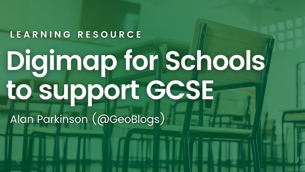
🌍📚 Unlock the potential of Digimap for Schools to support GCSE studies! Explore valuable resources for students and teachers. Check out this resource by Alan Parkinson (@GeoBlogs)ow.ly/1pQa50PqLgE #gcse #geographyteacher #geographylessons #education
3
7
1,143

29 Jul 2023
This is the Mediterranean Sea from the geography textbook, named for its location between three continents, Asia, Europe, and Africa. The picturesque view of the sea and sky blending into one is truly soothing.#GeographyLessons #HealingScenery
1
4
124

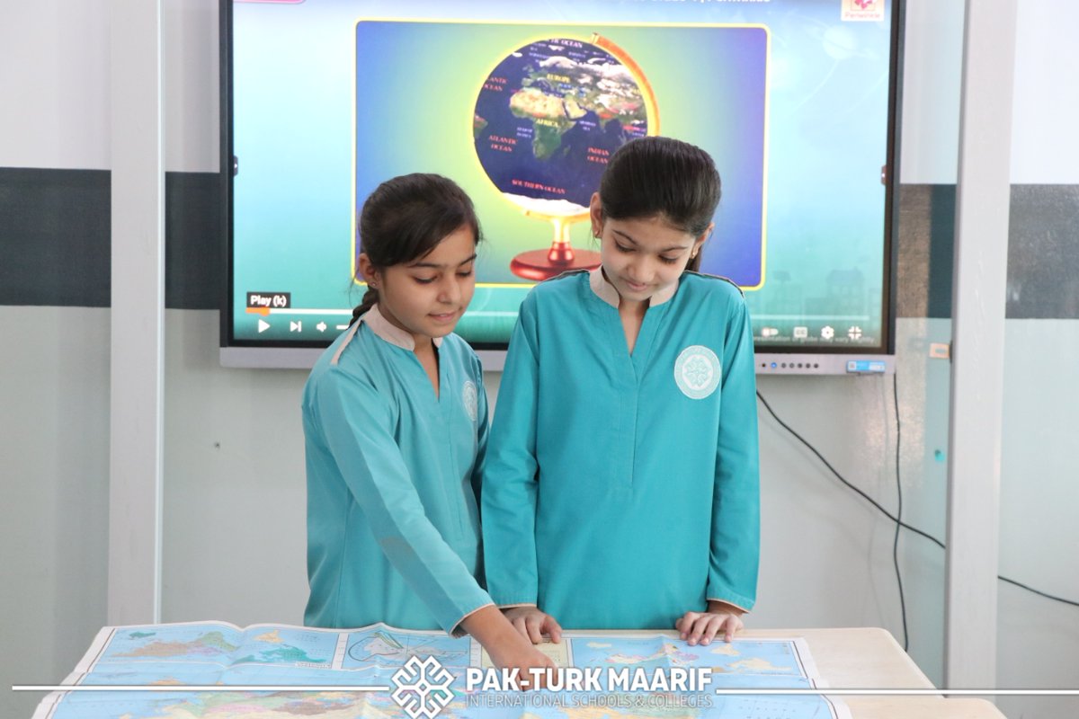
It is Fun Exploring the Wonders of Our World through the Power of Maps! 🌍🗺️🎒
#PakTurkMaarif #GeographyLessons #GlobalLearning

5
221

8 Jul 2023
🤩😍Welcome to read👉It’s Easy to #PutOneselfintheShoesofOthers #Results of #SchoolStudy in #GeographyLessons on #WorkingwithAuthenticPersonalNarratives in #Comparison to #FactualTexts📜by🧑🔬A. Lütje & A. Budke:📍mdpi.com/2254-9625/13/6/81 #multiperspectivity #memory #motivation
3
88

4 Jul 2023
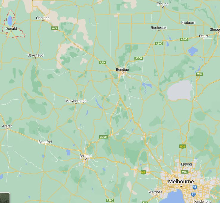
Here we go again. Melbourne reporters not fact checking. Donald is in North West Victoria. Not the North East. Easily found in google maps.
@SammyButler_
@10NewsFirstMelb
#saveourregionalnews #geographylessons
@abcmediawatch 🤦🤨
1
5
692

27 May 2023
So @mickconlan11 is a British fighter now? @btsport mother of fuck just try to half educate your analysts 🙈 thankfully @RealCFrampton knew what was what!! #braindead #educateyourself #geographylessons
1
1
241

3 Jan 2023
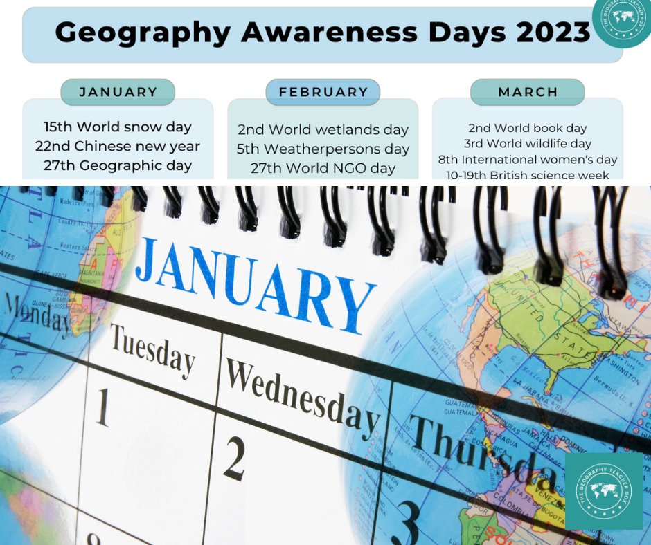
Would you like to know this year's geographically-themed awareness days?
Here's a free printable of what's coming up in 2023.
Ideal for Geography clubs or just to help plan more topical lessons!
subscribepage.com/a5g2w8_cop…
#geographyteacher #geographylessons
2
18
1,987

15 Sep 2022
🌍We are so excited to be joining @GeogChat next Wednesday to talk about bringing the #AllMyFriendsNeedTeachers campaign into classrooms in #GeographyLessons
#SDG4 #GeographyTeacher

Our first Wednesday night geogchat of the year begins next week at 8pm.
We’ll be joined by @sendmyfriend discussing The All My Friends Need Teachers campaign, which is related to the fourth sustainable development goal. See you then.
#GeogChat
3
1

5 Sep 2022
They must teach some awful geography in the schools you frequented... there's no war in Russia, it's in Ukraine - a sovereign country in Eastern Europe. NATO also isn't at war with anyone, and no NATO soldiers are dying on that battlefield.
#GeographyLessons
3

5 Sep 2022
The war is in Ukraine, not Russia #geographylessons
4 Sep 2022

Napoleon was defeated in Russia by General Mud and General Snow.
Hitler was defeated in Russia by General Mud and General Snow (and the immense sacrifice of the Soviet citizens).
NATO countries will be defeated in Russia by General Winter (& his cousin Inflation).
#HistoryLessons
1
11