


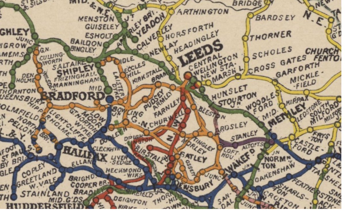
ALT detail showing railway lines around Leeds in 1912 from Emslie's railway map of England and Wales
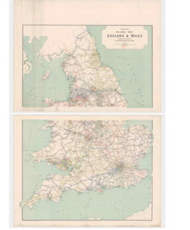
ALT Emslie's Official Railway Map of England and Wales on 2 sheets, 1912


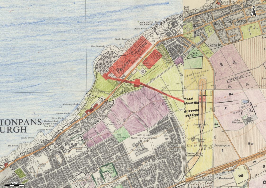
ALT detail of Cockenzie power station, from Land Use Survey of Scotland, 1970
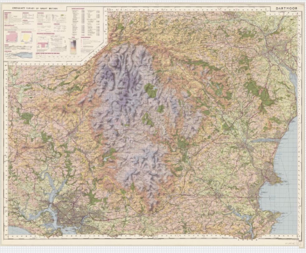
ALT Ordnance Survey one-inch to the mile tourist map of Dartmoor, published 1973
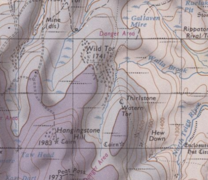
ALT detail of Wild Tor and Hanginstone Hill from Ordnance Survey one-inch to the mile map of Dartmoor, 1973
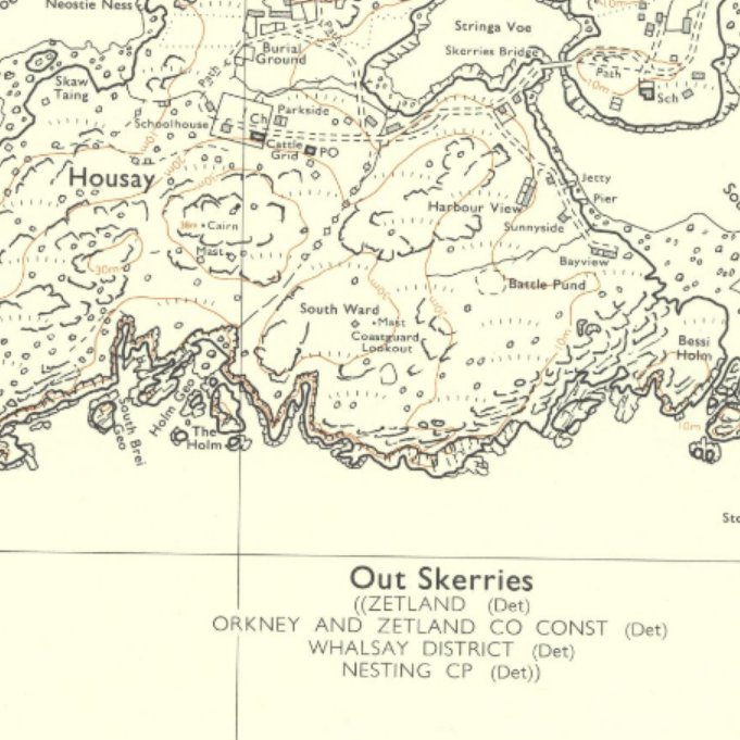
ALT detail showing Housay, Out Skerries, Shetland from Ordnance Survey 1973 map
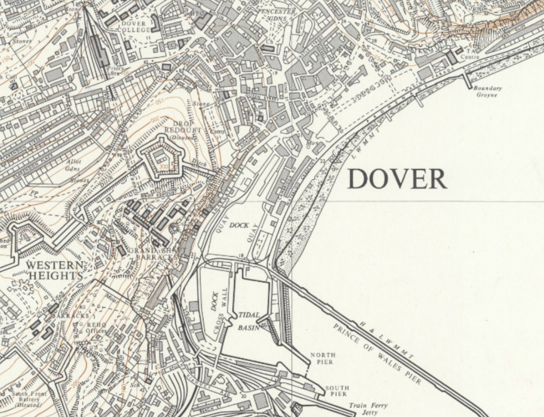
ALT detail showing Dover from Ordnace Survey 1973 map
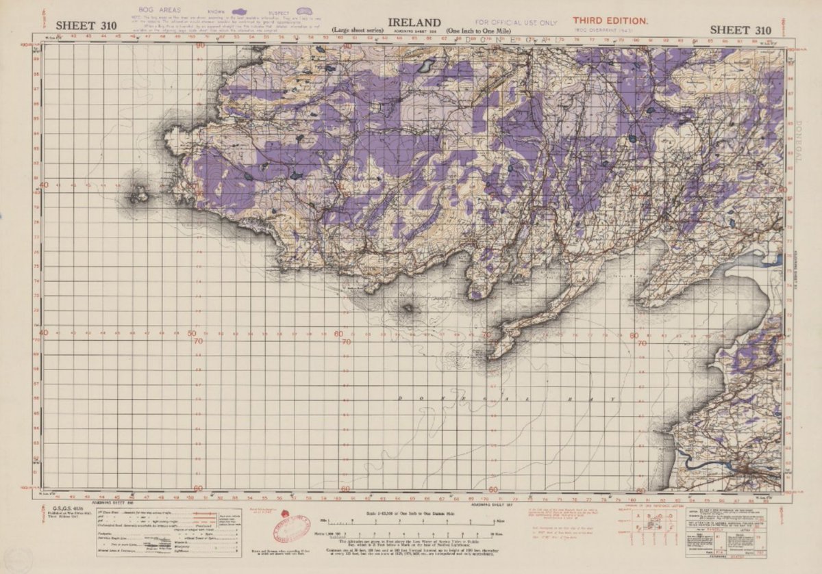
ALT Ordnance Survey. one-inch to the mile maps of Ireland, 1940-42. Sheet 310 bog overprint
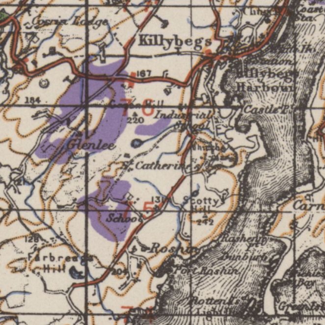
ALT detail of Killybegs, County Donegal, from Ordnance Survey one-inch bogs edition map, 1942
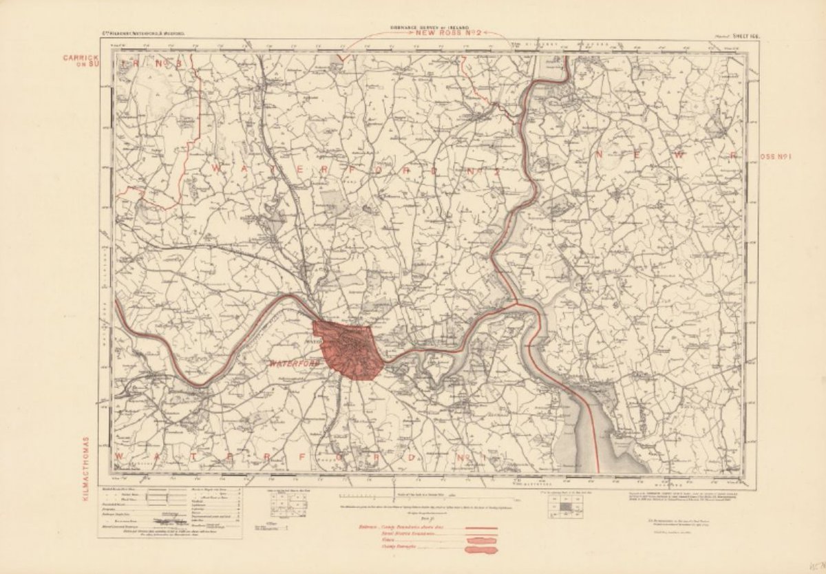
ALT One-inch administrative maps of Ireland. Sheet 168 - Waterford Revised: 1898
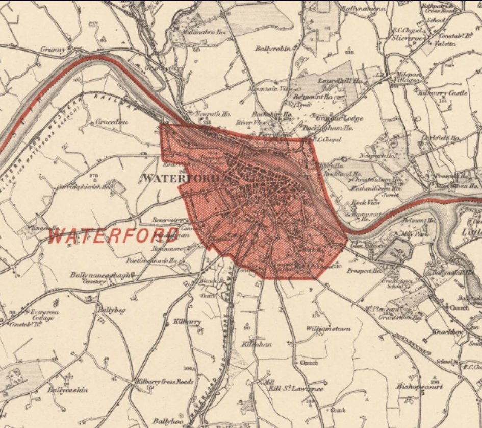
ALT detail of Waterford from one-inch administative maps of Ireland 1898


ALT Ordnance Survey one-inch to the mile sheet showing Cork

ALT detail of the city of Cork from Ordnance Survey one-inch to the mile map