
May 26
Very proud to announce the big MS4W 5.2.0 release (security release, with all libraries upgraded): ms4w.com/ That popular SDI for Windows in a zipfile (OGC services: OGCAPI, WMS, WFS, WCS, CSW, SOS, etc), running MapServer, Mapbender, GeoMoose, pycsw, with Apache, PHP & all libraries compiled by hand (rare, in 2026, I know). Happy MapServ-ing! #foss4g

5
282

📍 El pasado 11 de marzo se impartió una ponencia en la Escuela Politécnica de Mieres (EPM) de la @uniovi_info, dirigida a los alumnos del Máster Universitario en Geotecnología y Desarrollo de Proyectos SIG.
🌎 Bajo el título “Publicación de servicios geoespaciales del CNIG: IDEE, API-IDEE y CartoCiudad”, abordamos el papel del #CNIG y del #IGNSpain como proveedores clave de infraestructuras y servicios geoespaciales en España.
🧵 ¡Descubre más detalles en el hilo! 👇🏼
#Geoinformación #SIG #OpenData #Cartografía #IDEE #OGCAPI #CartoCiudad #UniversidadDeOviedo #Geotecnologías @transportesgob

1
3
7
720

Jan 20
El @es_INE lanza una nueva vía de acceso al Seccionado Censal: el servicio API Feature, basado en estándares OGC API.
Permite navegar por las capas, filtrar datos, descargarlos en múltiples formatos directamente desde el navegador y mucho más 💥
🔍 Descúbrelo aquí:
👇
ine.es/geoserver/ogc/feature…
#CartografíaINE #DatosGeoespaciales #OGCAPI #INSPIRE #Interoperabilidad #INE
6
13
1,633

17 May 2025
5月24-25日の土日2日間、最先端の地理空間情報標準API「OGC API」を、OGCのエキスパートJoana Simoes氏に直接教わりながら学べる Code Sprint が日本(東京)で初めて開催されます。
個人的には昨年12月のブラジル・ベレンでのFOSS4Gカンファレンスで初めてOGC APIの講習会や、今年3月のローマでのOGC Member Meeting に参加しましたが、海外への渡航費用やカンファレンスの参加費用などを考えると、日本でJoana Simoes氏から丁寧な指導を受けるチャンスは貴重だと思います。(少人数の上限設定されているので質問し放題です)
これからの地理空間情報活用において、単独でのプラットフォームではなく、相互運用性を担保するAPIの理解は必要不可欠です。このチャンスをぜひ活用されてください。
# Code Sprint 実施内容
基礎学習と実践的なグループワークを組み合わせた構成
## 1日目:基礎学習とツール演習・ハッカソン
* 「OGC APIの基礎学習」:OGC APIの概念、利点、基本的な使い方を学びます。
* 「ツール演習」:QGIS、Jupyter Notebook(データ分析・対話型実行環境)、Leaflet(ウェブ地図ライブラリ)など、実際のツールを用いてOGC API経由でデータを取得・表示するハンズオンを行います。
* 「公開データセット紹介」:利用可能な様々な公開地理空間データセットについて学びます。
* 「アイディアソン」「設計・プロトタイピング」
## 2日目:成果発表と交流
* 「成果発表会」:開発したプロトタイプ、得られた知見、今後の展望などを発表
* 「講評・交流会」:登壇者や専門家からのフィードバックを得たり、参加者同士でさらに深く交流したりする機会が設けられます。
2日間参加が難しい方は、2日目午後のカンファレンスのみでも参加できます。ぜひ OGCのエキスパートJoana Simoes氏 を質問攻めにして、日本の地理空間情報の盛り上がりを体験できる機会となることを期待しております。
あと、Joana に日本の美味しい寿司を食べさせてあげてください!! > 関係者
ogc-codesprint-tokyo25.peati…
#OGC #CodeSprint #SushiTechTokyo #OGCAPI #FuruhashiLab #古橋研究室 #AoyamaGSC #青学 #GEOlab #PoliMI #個人的にDMいただければCodeSprintの2BUY1FREE割引情報共有します


5
410

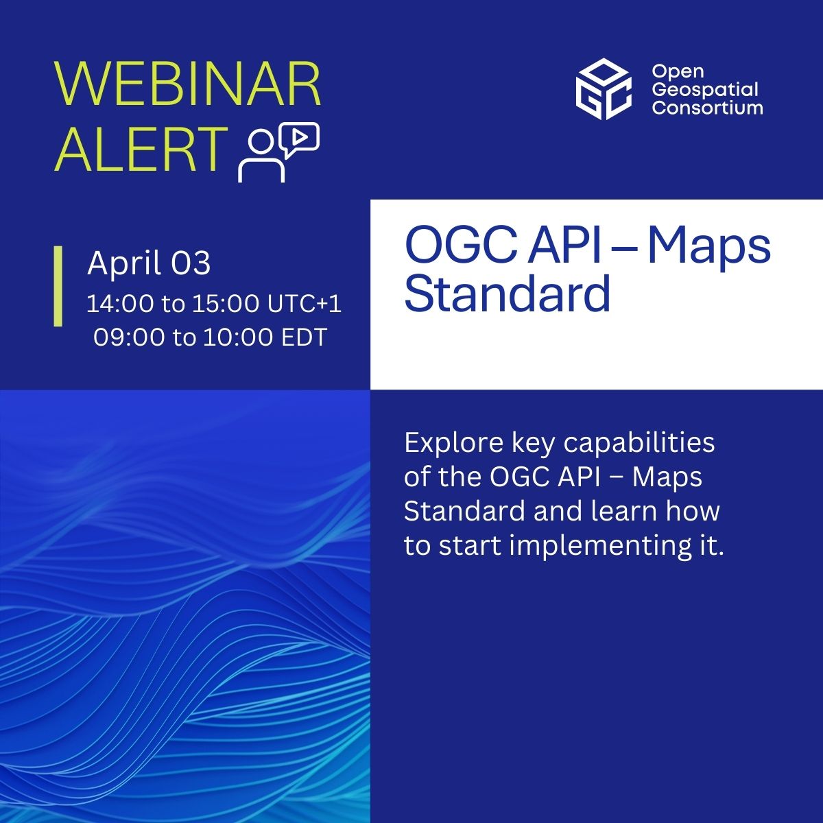
18 Mar 2025
Join our webinar on #OGCAPI – Maps! Discover how it powers web-based map & tile requests with #OpenAPI & modern tech, advancing WMS & WMTS.
📅 April 3, 2025 | ⏰ 14:00–15:00 UTC 1
🎙️ Joan Masó | Jérôme Jacovella-St-Louis | Gobe Hobona
Register now! zurl.co/BHC1i
1
9
1,237

3 Jan 2025
pygeoapi 0.19.0 released!
github.com/geopython/pygeoap…
#foss4g @osgeo @opengeospatial #geopython #ogcapi
2
3
153
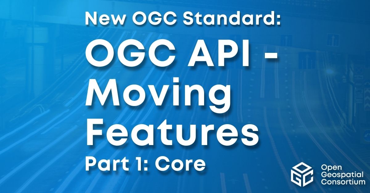
12 Dec 2024
✨ New standard alert! #OGCAPI – Moving Features – Part 1: Core makes it easier to manage geospatial data for moving entities - vehicles, weather patterns, and more! Huge value for apps in #Transportation, #DisasterResponse, or #EnvironmentalMonitoring zurl.co/VFaQs
1
4
12
934
27 Nov 2024
📅 Next Thu: #OGCAPI Training Workshop!
Join us on Dec 5 at Innovation Days DC for a hands-on session exploring how OGC #APIs transform #geospatial data sharing, access, and analysis. Gain practical skills with exercises aligned to FAIR principles zurl.co/eD7M
2
7
481
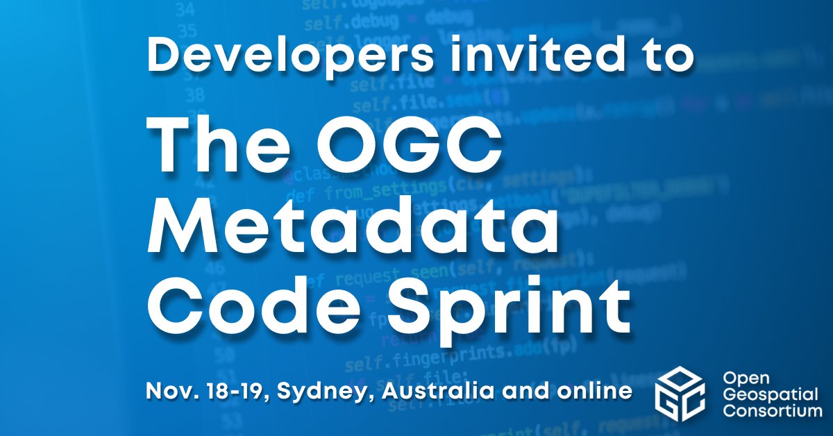
7 Nov 2024
Developers are invited to the OGC Metadata Code Sprint, Nov 18-19, in Sydney and online. The Sprint will focus on various OGC and ISO metadata standards using the #OGCAPI family of Standards, as well as the GeoDCAT semantic model for dataset descriptions: zurl.co/Qso8
1
4
606
27 Sep 2024
pygeoapi 0.18.0 released!
github.com/geopython/pygeoap…
#foss4g @osgeo @opengeospatial #geopython #ogcapi
3
5
237

26 Sep 2024
Go Kate, go! 🚀
Today, spearheaded by Kateryna, we're bringing you GeoSpeckle (alpha)!
youtube.com/watch?v=1ahy8Urg…
🌐 GeoSpeckle (alpha) is a new Speckle server that turns any Speckle data into geospatial data!
🌐 There's nothing you'll need to install; you can just feed a new Speckle URL into a browser, GIS app or a web-based map to add Speckle data as a Feature Layer!
🌐 Embed a Speckle URL into your Javascript and map your data with Leaflet, OpenLayers and other libraries. You can also add a Web Feature Service connection in QGIS, AutoCAD or Civil3D - no desktop connectors are required!
Kudos to our amazing Kateryna Konieva, Ph.D., standing behind it all!
#GIS #SpeckleGIS #GeoSpeckle #Speckle #QGIS #AutoCAD #Civil3D #Leaflet #OpenLayers #pygeoapi #QGISUC2024 #opensource #wfs #ogcapi
5
12
487
21 Sep 2024
Great news: pygeoapi is now OGC Compliant for OGC API - Processes!
ogc.org/resources/product-de…
#ogcapi #foss4g @opengeospatial @osgeo@fosstodon.org
2
5
14
770
19 Sep 2024
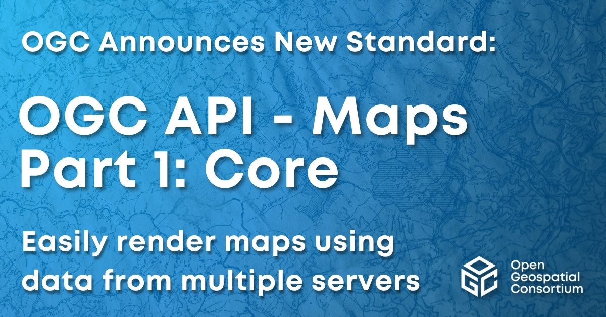
Excited to announce that the OGC Membership has approved OGC API - Maps - Part 1: Core as an official OGC Standard.
Learn more here: ogc.org/press-release/ogc-me…
#OGCAPI #Standard
1
6
440
19 Sep 2024
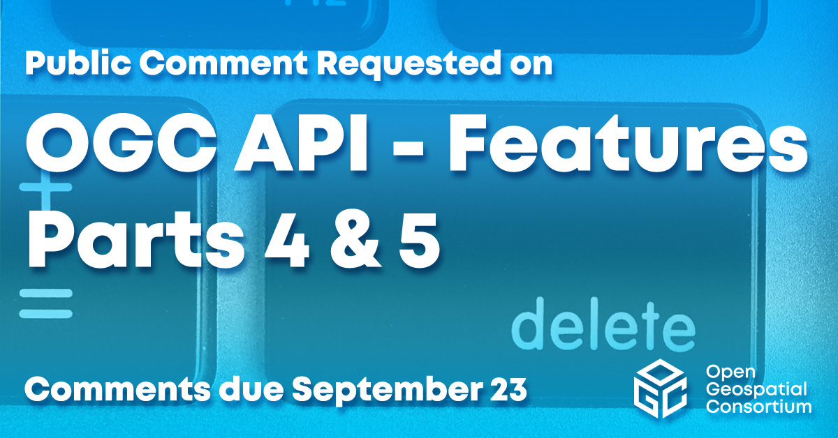
Requesting public comment on #OGCAPI – Features – Parts 4 & 5. Part 4 defines API building blocks that allow geospatial resources to be added to, replaced, modified and/or removed; while Part 5 specifies how to describe data using a logical schema bit.ly/3zpE9MG

2
4
1,718
18 Sep 2024
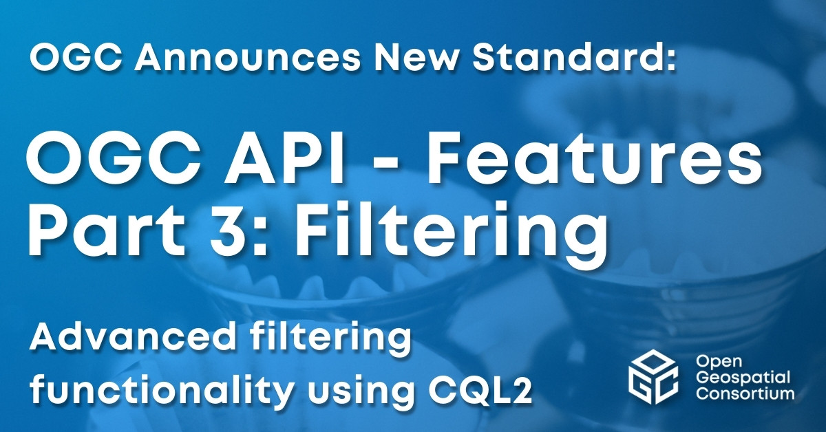
Excited to announce OGC API - Features - Part 3: Filtering as a new OGC Standard. Part 3 that adds advanced filtering functionality (using CQL2) to OGC API - Features. Learn more at: ogc.org/press-release/ogc-me… #OGCAPI #Standard
3
6
566
4 Sep 2024
Requesting public comment on #OGCAPI – Features – Parts 4 & 5. Part 4 defines API building blocks that allow geospatial resources to be added to, replaced, modified and/or removed; while Part 5 specifies how to describe data using a logical schema bit.ly/3zpE9MG

4
9
576
20 Aug 2024
Requesting public comment on #OGCAPI – Features – Parts 4 & 5. Part 4 defines API building blocks that allow geospatial resources to be added to, replaced, modified and/or removed; while Part 5 specifies how to describe data using a logical schema bit.ly/3zpE9MG
3
7
860
8 Aug 2024
Requesting public comment on #OGCAPI – Features – Parts 4 & 5. Part 4 defines API building blocks that allow geospatial resources to be added to, replaced, modified and/or removed; while Part 5 specifies how to describe data using a logical schema bit.ly/3zpE9MG

1
5
716
16 Jul 2024
The July '24 #CodeSprint was a huge success. Thank you @Google for sponsoring, @NRcan for supporting, and @Geovation for hosting. Participants made significant progress across several tracks including: #DataQuality, #AI, Validators, MapML, DGGS, Symbology, and #OGCAPI Standards.
1
3
10
594