
Python for Spatial Analysis | How to Create an NDVI Map using Python (Beginner Tutorial). To get the full tutorial, comment #GeoAI
#python
#GIS
#remotesensing
#geospatial
#satelliteimagery
#rasterdata
#datavisualization
#EarthObservation
#SpatialAnalysis
#LearnPython
4
5
38
1,652
Python Foundations for Spatial Analysis | How to Visualize Satellite Imagery Bands (Beginner Tutorial).
Tutorial Link: youtube.com/live/d670yPKYbkY…
#GeoAI
#python
#GIS
#remotesensing
#geospatial
#satelliteimagery
#RasterData
#datavisualization
#EarthObservation
#SpatialAnalysis
2
139

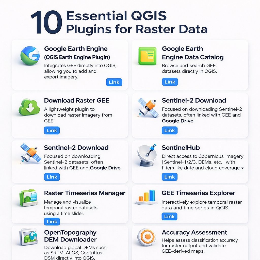
🚀 10 Essential QGIS Plugins for Raster Data
Boost your workflow with tools for:
🌍 Google Earth Engine
🛰 Sentinel-2 downloads
📊 Raster time series
🗺 DEM data & accuracy assessment
Perfect for #GIS & #RemoteSensing pros.
🔖 Save & explore more!
#QGIS #RasterData #Geospatial
1
2
31

Discover the fundamentals of geospatial data, from vector (points, lines, polygons) to raster (satellite imagery, elevation models), static vs dynamic layers, and how each type shapes mapping, analysis, and decision-making.
Perfect read for developers and GIS professionals alike: 👇
#Geoapify #Geospatial #GIS #VectorData #RasterData geoapify.com/different-geosp…
27

4 Oct 2025
Happy New Month 🍾
In this Tutorial youtu.be/2k9rkKz03mI, you will learn how to stack multiple raster bands into a single multiband image in QGIS using the Semi-Automatic Classification Plugin (SCP).
Thank you.
#QGIS #RemoteSensing #GIS #RasterData #QGISTutorial
01.10.25

1
263
28 Sep 2025
Hello
In this Tutorial youtu.be/wDL4cYGo_38, you will Learn how to mosaic raster data easily in QGIS using the Semi-Automatic Classification Plugin (SCP).
Thank you.
#QGIS #GIS #RemoteSensing #RasterData #SCP #SCPlugin #QGISTutorial #GISAnalysis #EarthObservation
1
257
24 Sep 2025
Hello
In this Tutorial youtu.be/M5F2TEyfik4, you will Learn how to clip raster data easily in QGIS using the Semi-Automatic Classification Plugin (SCP).
Thank you.
#QGIS #GIS #RemoteSensing #RasterData #SCP #SCPlugin #QGISTutorial #GISAnalysis #EarthObservation
1
256
3 Sep 2025
Happy New Month
Watch this video youtu.be/lTG8v9gCxAk and learn how to merge satellite imagery band by band using QGIS in order to create seamless mosaics for analysis.
Thank you.
#QGIS #RemoteSensing #GIS #SatelliteImagery #Landsat #RasterData #Geospatial #OpenSourceGIS
1
270

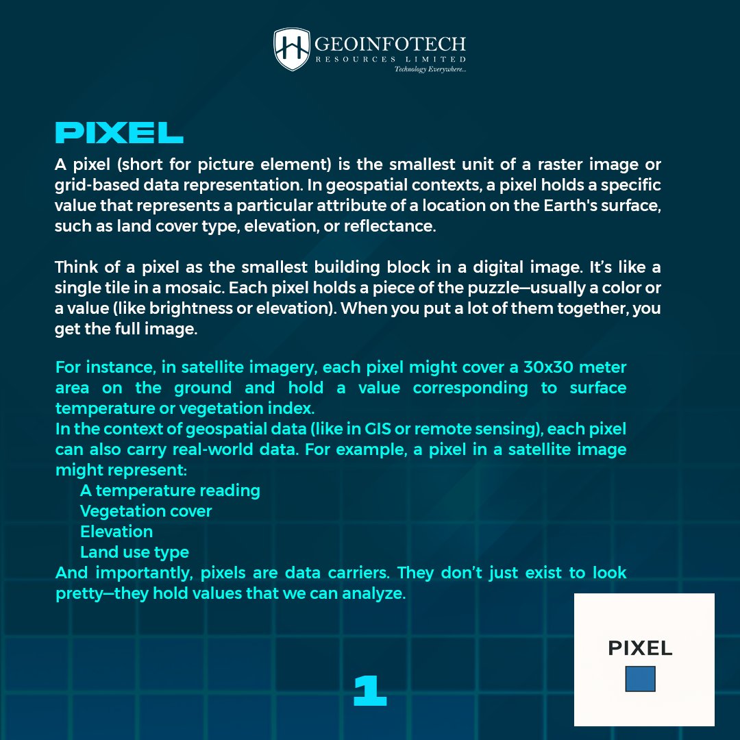
Without one, the other doesn’t make sense! 🧠
Visit our website to learn more and connect with our team: geoinfotech.ng
#GIS #RemoteSensing #Geospatial #Mapping #RasterData #TechExplained #GeoTech #DataVisualization


22

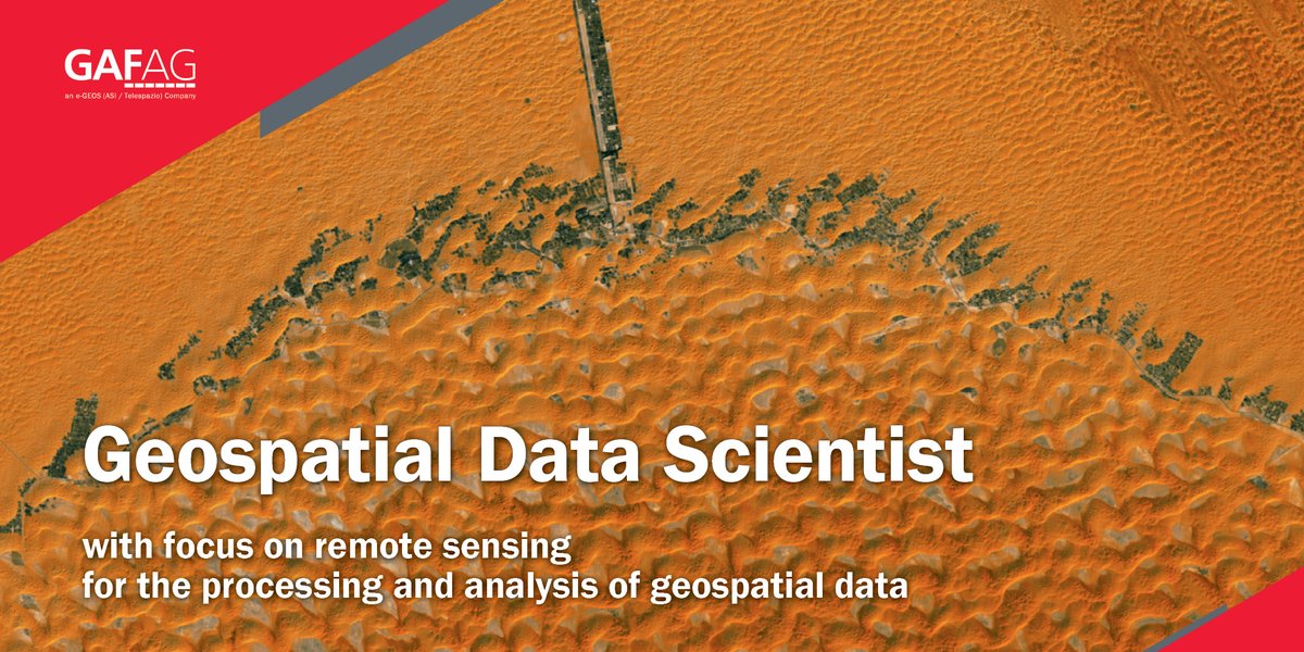
10 Mar 2025
Get your job! Right here! As #Geospatial #DataScientist for #processing & #analysis of #geospatialdata ▶gaf.de/geospatial-data-scien… #geoinformatics #sentinel2 #remotesensing #satellitedata #rasterdata #vectordata #python #docker
🤝Come join us!

1
7
208
19 Sep 2024
Get your job! Right here! As #Geospatial #DataScientist for #processing & #analysis of #geospatialdata ▶ gaf.de/geospatial-data-scien…
#geoinformatics #remotesensing #satellitedata #rasterdata #vectordata #python #docker #sentinel2
2
4
268

18 Sep 2024
EverGIS is a game-changer for anyone working with geodata! 🌍🚀
Unlock new perspectives and see familiar places in a whole new light.
#GIS #Geospatial #Mapping #EverGIS #RasterData
instagram.com/reel/DADUTQ5yp…
1
2
24

🚀 We launched full platform support to efficiently process, style, and serve raster data, from weather visualizations to custom satellite and aerial imagery.
Learn more here: buff.ly/3WBqwSQ
#BuiltWithMapbox #ProductLaunch #RasterData
1
2
3
1,624


26 Aug 2023
3/ 🗺️ What are Vector and Raster Data? How do they differ? Learn about the types of geospatial data and how they are applied across various industries. #VectorData #RasterData
1
9

25 Aug 2023
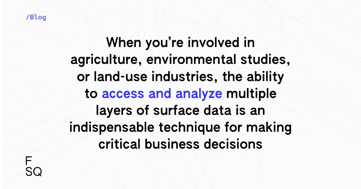
Recently, #rasterdata has become an essential source for gathering information about our world. This comprehensive solution offers users a fast and efficient workflow to process, view, and interpret data.
Read on to learn the power of raster data 👇 location.foursquare.com/reso…
2
1
830

15 Jun 2023
Digital terrain model of Haiti, Mount La Selle #gis #remotesensing #rasterdata #aerialimagery #Science #opentopography

2
1
79

5 Jun 2023
Error in .local(x, ..., value) : unused argument (warn = FALSE) when trying to plot rasterdata #GISStackExchange bit.ly/3WOJPHO
22

29 May 2023
Geospatial Project Backup Essentials: Protecting Data, Models, and Code
#Geospatial #GIS #DataBackupStrategies #VectorData #RasterData #AnalysisModels #DatabaseBackup #ApplicationCode #DataSecurity #CloudBackup #OnPremisesBackup #GIS #RemoteSensing #data
linkedin.com/pulse/geospatia…
1
3
133

13 Apr 2023
Arbetar du med #rasterbilder och #fjärranalys? Du har väl koll på att #ArcGIS ger dig tillgång till de verktyg du behöver för att snabbt samla in, hantera och utföra beräkningar på dina #rasterdata? På desktop men även i skalbart i molnet. #GIS #imagery esri.se/acton/sp/16241/sm-05…
48