🧠 Cognitive control isn’t just where — it’s when.
👉 pubmed-ai-newsletter.beehiiv…
New insights show the prefrontal cortex is organized by temporal hierarchy:
Slow, integrative neurons guide high-level control, while fast, bursty neurons execute rapid decisions.
When timing falls out of sync, cognition can unravel — even without visible structural damage.
Stay sharp on neuroscience that reshapes how we think about the brain.
#MedWeekly#Neuroscience#CognitiveControl#BrainTiming#ScienceDigest
See how Low Earth Orbit observations make a difference for weather forecasts and environmental insights in the 2025 #LEO#ScienceDigest. 🌎 🛰️
Read 10 science articles featuring @NOAA’s #JPSS satellites and other LEO missions: nesdis.noaa.gov/science-dige…
ALT Promotional graphic for the \u201C2025 LEO Science Digest\u201D from the NOAA NESDIS Office of Low Earth Orbit (LEO) Observations. The digest cover appears on the left with a colorful satellite view of Earth showing surface temperature measurements, and four featured article images appear on the right. Text reads: \u201C10 featured articles exploring the impact and applications of low Earth orbit data.\u201D
The aurora borealis glows in this early morning view above the northwestern U.S., captured by #NOAA21’s VIIRS Day-Night Band on May 2, 2025. ✨
Learn more about this phenomenon captured by @NOAA’s JPSS satellites in this LEO #ScienceDigest blog post: nesdis.noaa.gov/news/auroras…
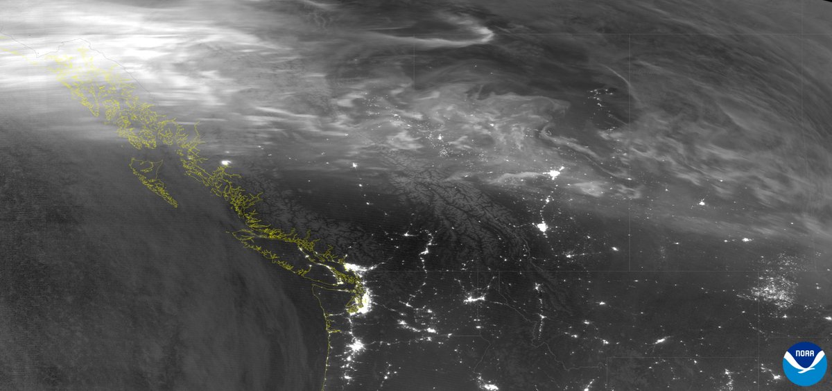
ALT Satellite observation of the northwestern United States and regions farther north, captured in the early morning of May 2, 2025. City lights are visible beneath faint arcs of the aurora borealis across the upper part of the image. The NOAA logo is seen in the lower right corner.
Data from @NOAA’s JPSS satellites helps the Ocean Prediction Center (@NWSOPC) monitor hazardous weather over the ocean. These insights help keep ships safe & ensure smoother global trade operations.🚢🛰️
Read more in this #LEO#ScienceDigest blog: nesdis.noaa.gov/news/weather…
ALT A cargo ship moves through ocean waves near the shore, with water crashing against the front of the vessel. In the background, a coastal town sits beneath a sunset sky, with hills and scattered houses visible.
Explore the new 2024 #LEO#ScienceDigest for a detailed look at the wide-ranging benefits of Low Earth Orbit (LEO) observations, including @NOAA's JPSS satellites. 📖🛰️
Discover how these satellites enhance weather forecasting & environmental monitoring:
nesdis.noaa.gov/jpss-digest
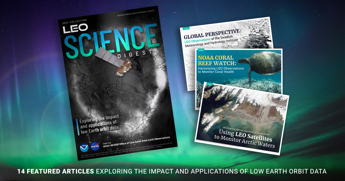
ALT Promotional graphic for the 2024 “LEO Science Digest,” a collection featuring 14 articles on the impact and applications of Low Earth Orbit data. The main image, seen at the left-hand side, shows a magazine cover with a satellite orbiting Earth against a backdrop of the northern lights in space. Three additional articles are highlighted to the right with corresponding imagery: “Global Perspective: LEO Observations at the Swedish Meteorology and Hydrology Institute," “NOAA Coral Reef Watch: Harnessing LEO Observations to Monitor Coral Health," and "An Adaptive Optical Approach to Ocean Color: Using LEO Satellites to Monitor Arctic Waters." The backdrop of the graphic displays a colorful blue, green and purple sky.
Ready for some inspiring end-of-year reads? Check out the latest #HFSP Science Digest!📖Dive into groundbreaking research and celebrate the power of curiosity-driven science.✨ Perfect reading to wrap up 2024! ✨Explore here: bit.ly/3Dg6GGM#ScienceDigest
🚨 HFSP Science Digest 2023 is out!
🔬Breakthrough life science research
🌍43 projects, 55 scientists, 26 countries
🧬A focus on synthetic biology & the origin of life
Explore how HFSP is advancing life’s frontiers:
👉bit.ly/3Dg6GGM#LifeSciences#HFSP#ScienceDigest
Delays in air travel are frequently caused by weather. @NOAA's JPSS satellites enhance aviation safety by providing atmospheric data that improves forecasts and air traffic management. ✈️
Read more in this #LEO#ScienceDigest blog: nesdis.noaa.gov/news/making-…
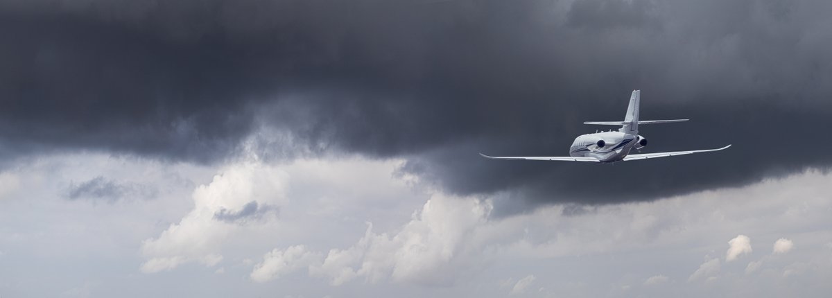
ALT This photo features an airplane, seen to the right side of the image, flying below a dark cloudy sky.
Flooding is becoming more severe worldwide. To address this, @NOAA's Flood team has developed VIIRS Flood Products using JPSS satellite technology to provide visualizations that aid emergency responders.
Read more in this #LEO#ScienceDigest blog: nesdis.noaa.gov/news/rising-…
ALT Satellite-derived flood product imagery from October 24 to November 6, 2024, captures the progression of extensive flooding in Valencia, Spain due to intense rainfall. The visualization represents land in brown and water in bright blue, with areas of severe flooding highlighted in yellow, orange, and red.
Calling all scientists and weather enthusiasts!
Explore NOAA's 2023 #JPSS#ScienceDigest this #EarthScienceWeek for a detailed review of JPSS applications. 📖🛰️
Stay tuned for the 2024 digest featuring the latest from LEO and JPSS satellites.
For more: nesdis.noaa.gov/jpss-digest
ALT Promotional image showcasing the 2023 JPSS Annual Science Digest cover against a backdrop of Earth from space. It features three JPSS satellites in orbit with the title in bold orange and a tagline "Exploring the Impact and Applications of JPSS Data," followed by a credit line for the NOAA NESDIS Office of Low Earth Orbit Observations in smaller text.
Vegetation Health products from NOAA's JPSS satellites enhance global food security. The USDA uses these to estimate crop yields, aiding agribusinesses and food producers.
Read more in this #LEO#ScienceDigest blog: nesdis.noaa.gov/news/tacklin…
ALT Global map showing the Vegetation Health Index (VHI) from January 7, 2023, to September 16, 2023. The map uses color coding to depict vegetation conditions. VHI values range from 0 to 100, with 0 indicating extremely poor vegetation health (shown in brown to red shades) and 100 representing excellent conditions (shown in vibrant green). Blue shades signify improving conditions. Over time, fluctuating dots of red, blue, yellow, and green dynamically appear across continents, indicating changes in vegetation health. These visualizations are based on VIIRS data from NOAA’s JPSS satellites.