
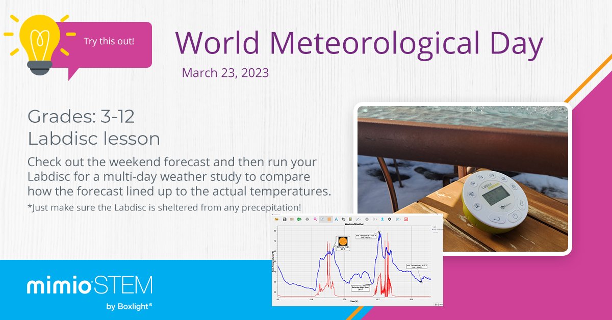
23 Mar 2023
It's #worldmeteorologicalday! Introduce this #Labdisc activity so students can make real-life connections about the weather around them and build a #PBL for extended research.
hubs.la/Q01HYZGW0
#MeteorologicalDay #STEMedu #scienceedu #weatherlesson @boxlightinc
4
371

24 Feb 2022
24 Feb 2022

Science lesson time: (Since most of us are stuck inside today.)
As you may have noticed the radar scope this morning has not looked very impressive, almost as if there is no precipitation occurring. That's because it's mostly drizzle out there. A thread...🧵 (1/8)
4

9 Dec 2020
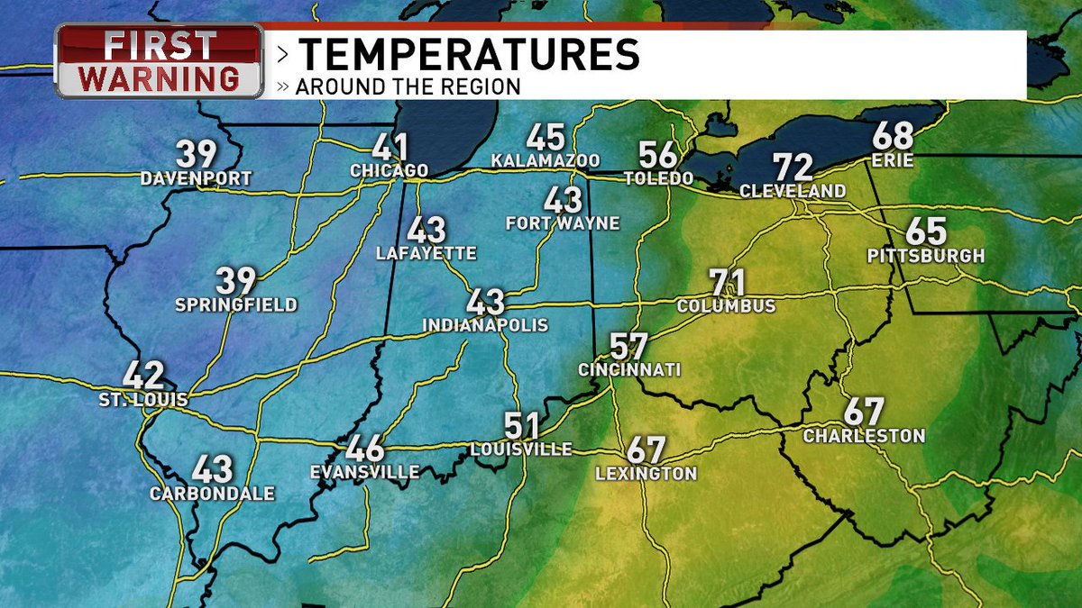
I'm looking forward to a warm-up for a few days 😊 But wind chills will be back in full force again next week! Here's some info on what the wind chill really means, and how it's calculated 🥶 #StormWatch7 #WeatherLesson
wjla.com/weather/stormwatch7…
2
4
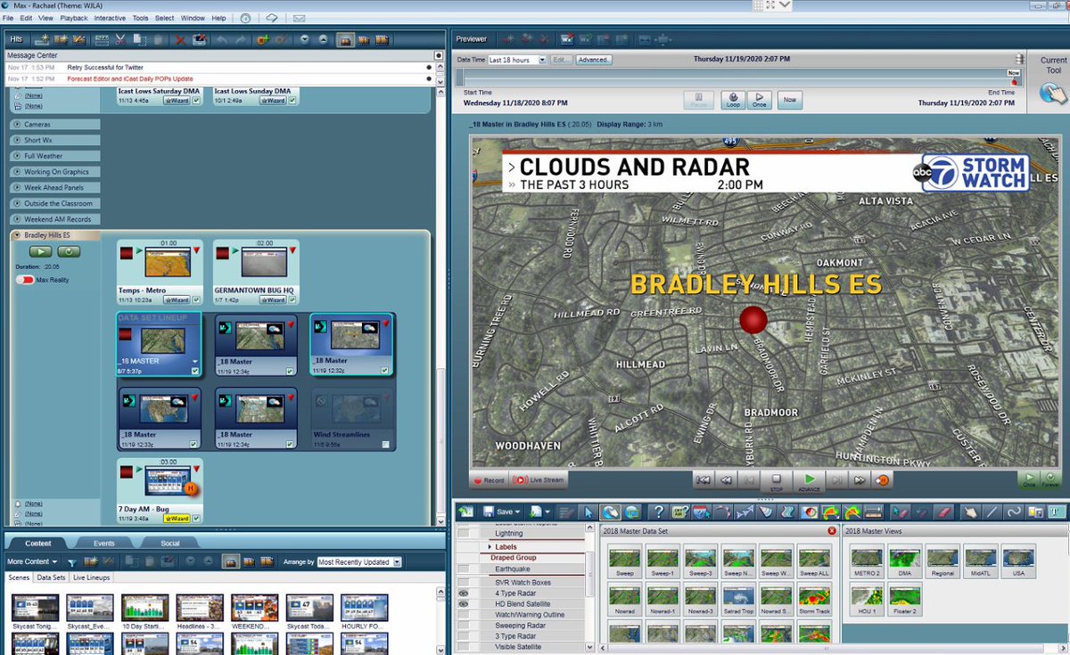
19 Nov 2020
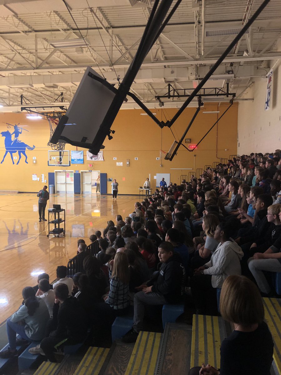
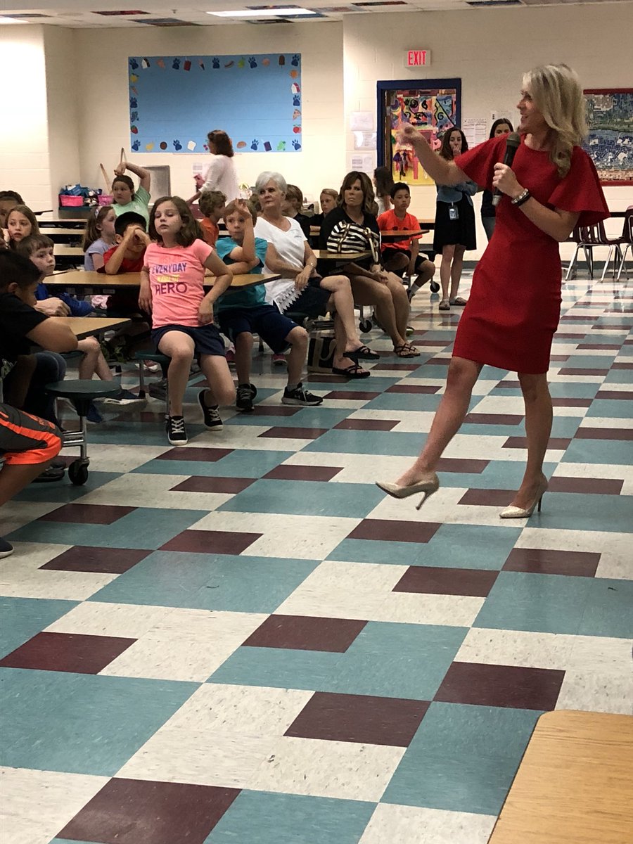
I had a great school visit this afternoon with the 3rd graders from Bradley Hills Elementary School in Bethesda, MD. It's amazing we're all able to connect in this way from home, thanks for having me! #StormWatch7 #WeatherLesson #BehindTheScenes @ABC7News
10

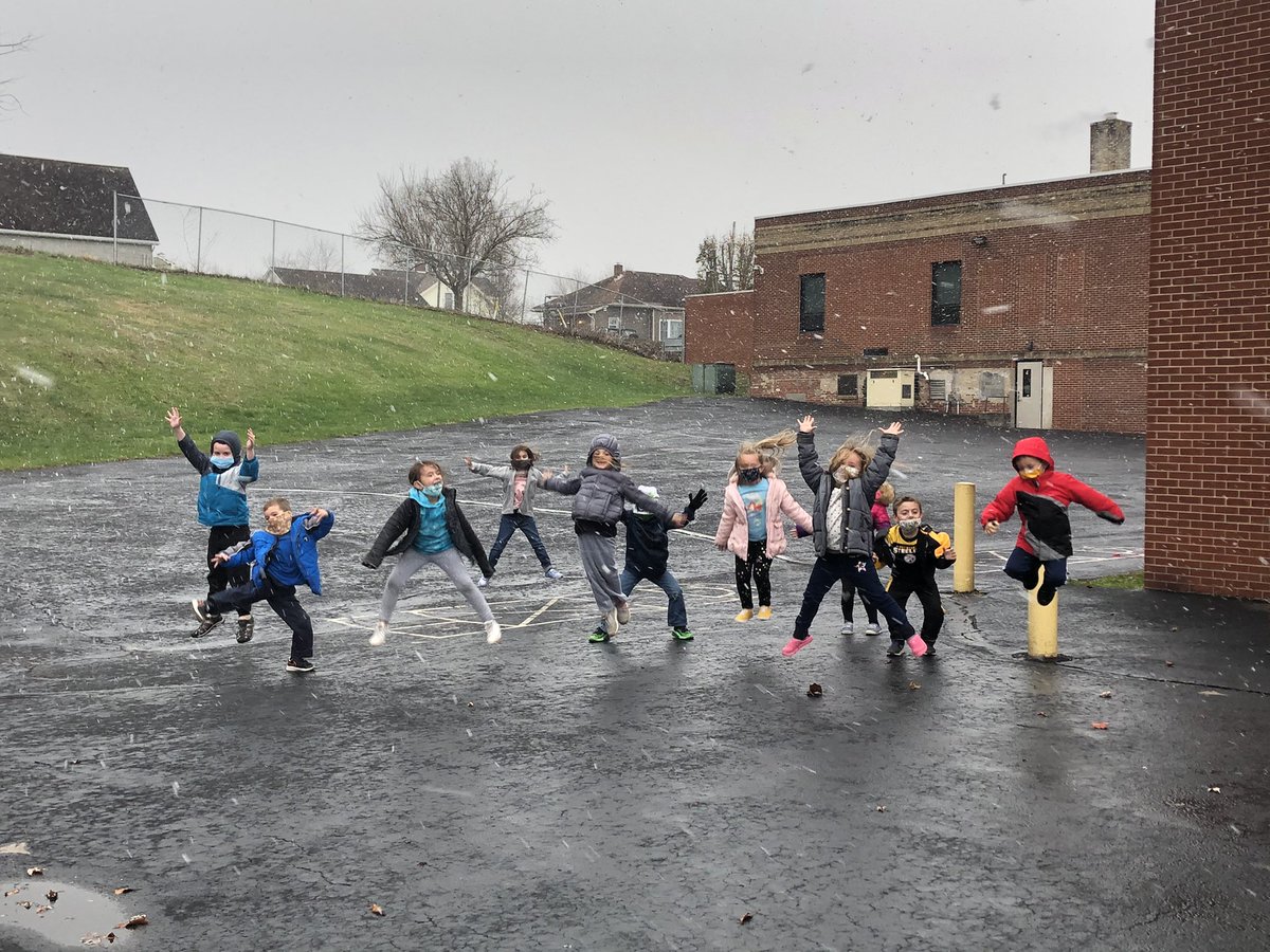
17 Nov 2020
Sometimes you just have to drop everything and play! #kindergarten ss had “SN❄️W”much fun enjoying our first “school snow!” #littlethings #SnowFun @JoeWalkerES #Mc3G #weatherlesson
1
3
15
17 Nov 2020
It's going to be another gusty afternoon across the #DMV! These high winds are caused by the temperature and pressure gradient. Big words with a simple explanation: wjla.com/weather/stormwatch7… #StormWatch7 #WeatherLesson
1
3
23 Jun 2020
23 Jun 2020
No, this isn't a "land-icane" spiraling across North TX. It's a Mesoscale Convective Vortex (MCV), a fancy way of saying an area of low pressure generated in the wake of a storm complex. Storm complexes can make their own areas of low pressure/spin! More: glossary.ametsoc.org/wiki/Me…
2
4

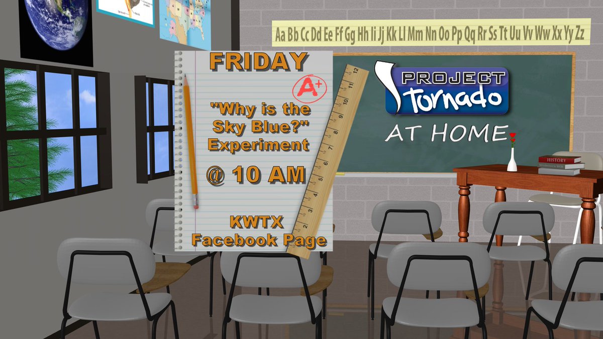
1 May 2020
It's time for our next Project Tornado at Home weather lesson -- tune in with your kids tomorrow at 10am on the KWTX News 10 Facebook page to learn all about why the sky is blue! See you guys then for a fun lesson and experiment 😁 #weatherlesson #weatherhomeschool #homeschool
3

21 Apr 2020
edmonton.ctvnews.ca/weather-… Don't forget to watch our weekly WeatherLesson and then send us your video answer for a chance to appear on @ctvedmonton Thursday at 6pm. #yeg #yegwx
1
3

21 Jan 2020
There are two main types of satellite picture, infrared and visible. The visible pic (Left) shows the cloud much better than the infrared (Right) because the temperature of the cloud is similar to the land. #Weatherlesson

1
4

21 Nov 2019
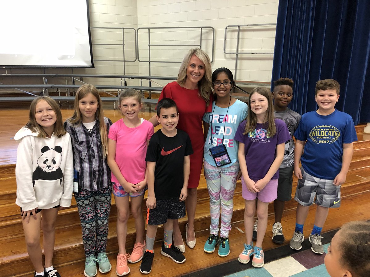
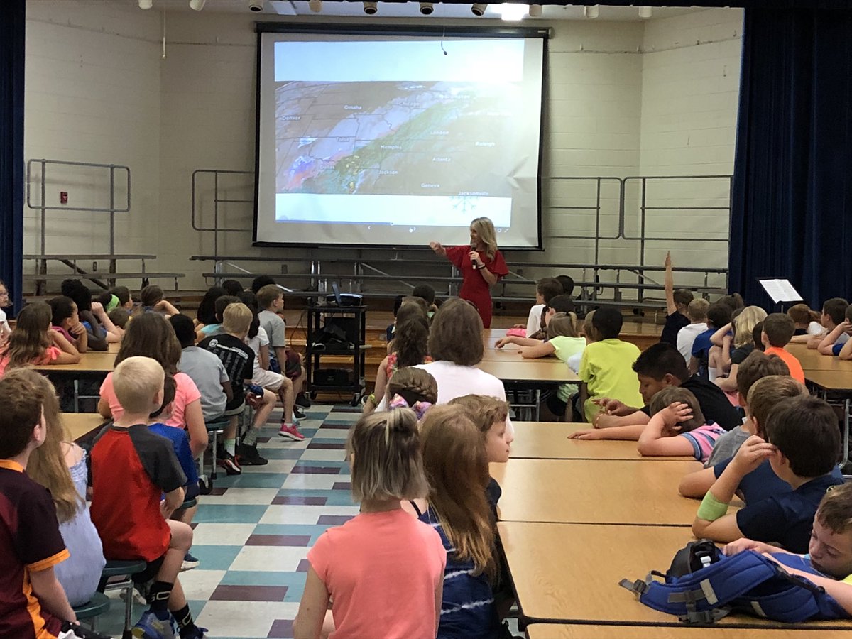
6th graders had the honor to get a weather lesson from the one and only @EdPiotrowski thanks so much for visiting and teaching us! The kids were awesome !! #nmbmchiefs #sciencelife #weatherlesson #6thscience
2

12 Oct 2019
3
19

10 Apr 2019


2
8

12 Mar 2019
Remember - this is the overall "winter" snow depth (total amount of old and freshly fallen snow), taken at a flat, open area (tee-box) - NOT what has fallen in the last day! Big meteorological difference between 24 hr "snowfall" and "snow-on-ground" measurements! #weatherlesson
4

25 May 2018
Thank you, Ms. Megan Wise from NBC channel 12 news, for visiting with our 3rd & 4th grade students! We learned so much from you! #whowantstobeaMeterologist #weatherlesson #ohtheplacesWESgoes
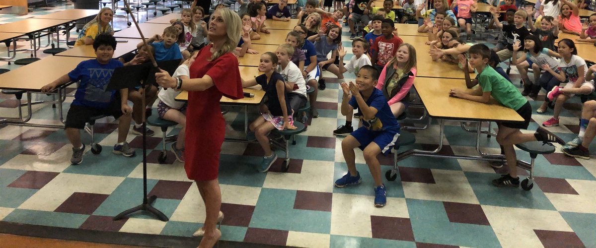
1
11

20 Mar 2018
When you have 5 minutes before ypur special so you watch the weather channel...4th Nor'Easter before Easter!KC is excited for snow...Mrs.C is not. #kindergartencrusaders #blizzard #weatherlesson #Noreaster4

9

13 Nov 2017
Today's #WeatherLesson thy son @WPXIScott and Mother Nature also taught me this
13 Nov 2017

We've shown this graphic before, but do you know what causes the different types of precipitation we see in winter? It all results from the depth of warm air aloft and in some cases, at the surface. #WinterSafety
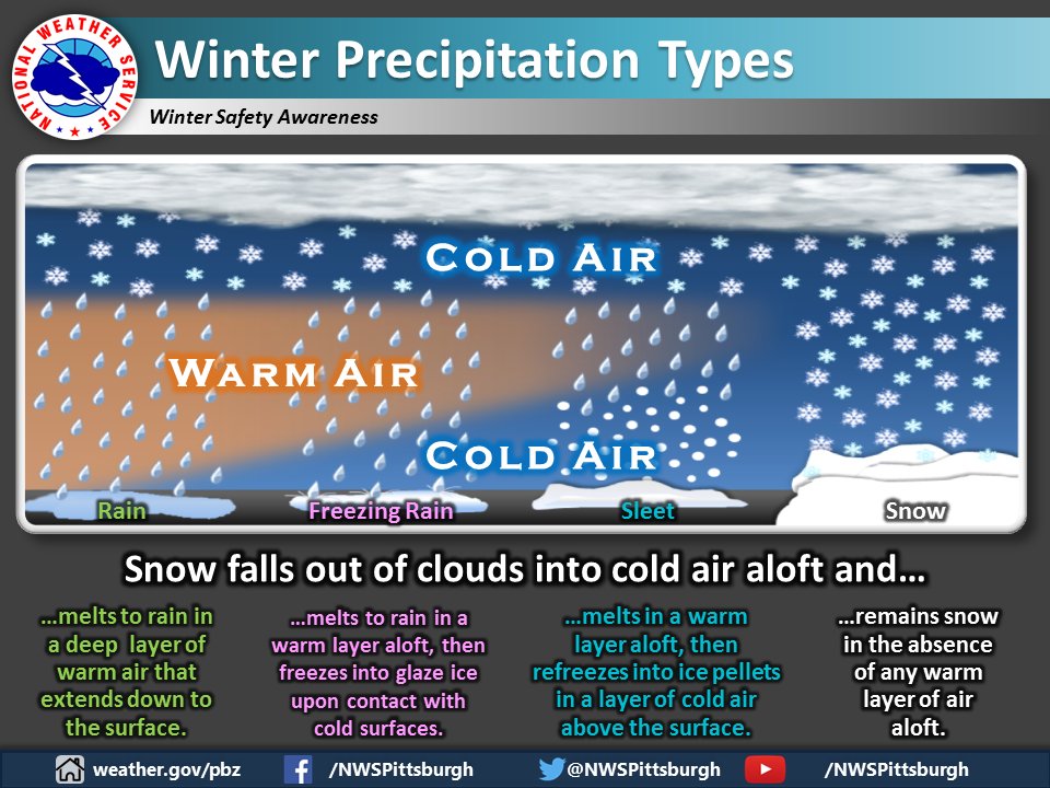
1

1

25 Nov 2016
#WeatherLesson - Learn to read pressure and other weather charts in our Learning Room ukweatherwatch.co.uk/viewtop…
1
2

2 Jun 2016
Wondering what these clouds are? #Mammatus clouds (past mature stage) #WeatherLesson @keyetv #keyewx #atxwx
1
5