Intelligence collective @IGNFrance | Chair of Commission 4 @EuroSDR 🌍🗺️🛰️ #Innovation #OpenData #DataValuation #Communs | ♀️=♂️ | @CanFre@mamot.fr I 🦋
- Tweets 6,390
- Following 1,395
- Followers 769
- Likes 10,035


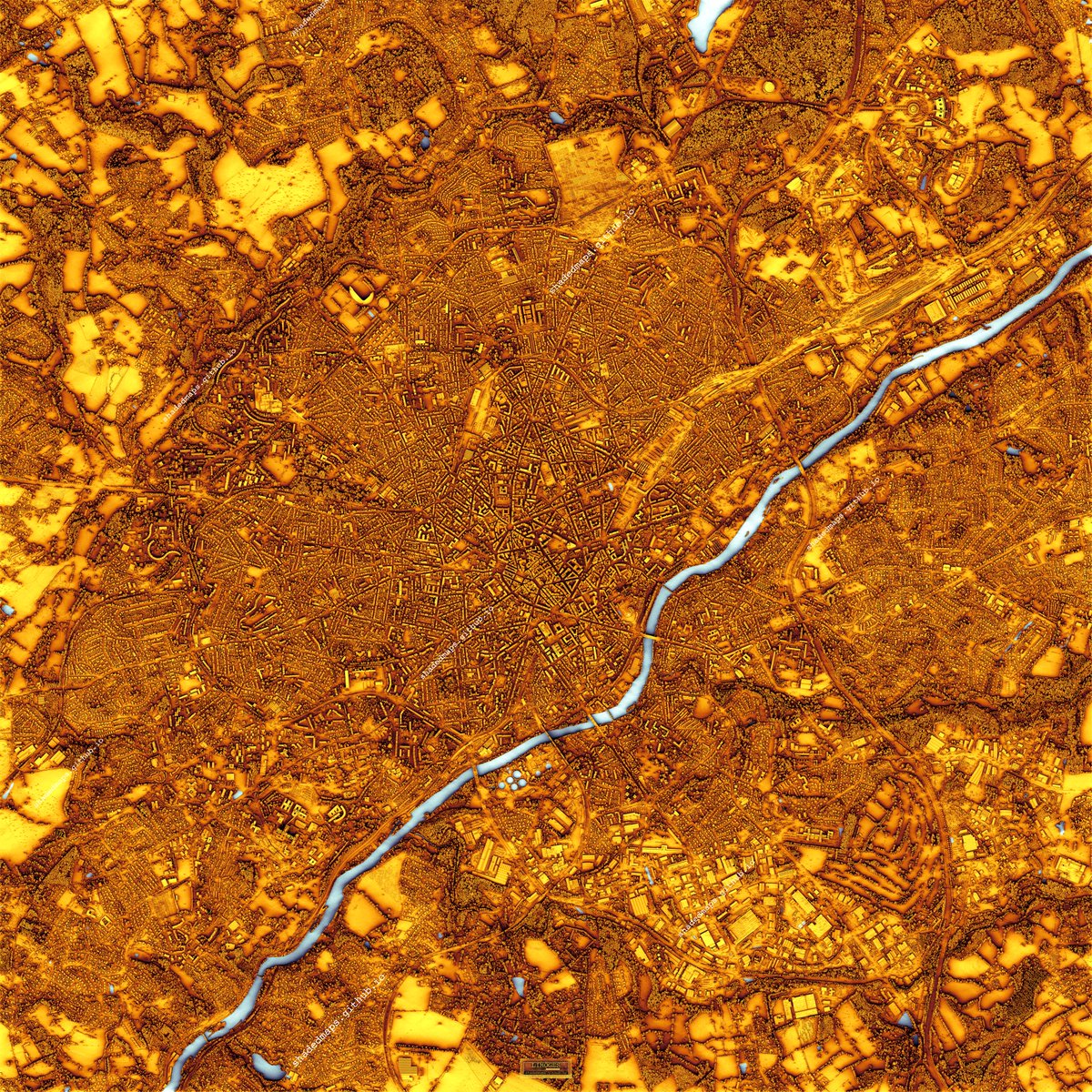
ALT Resized shaded map of Limoges, France.
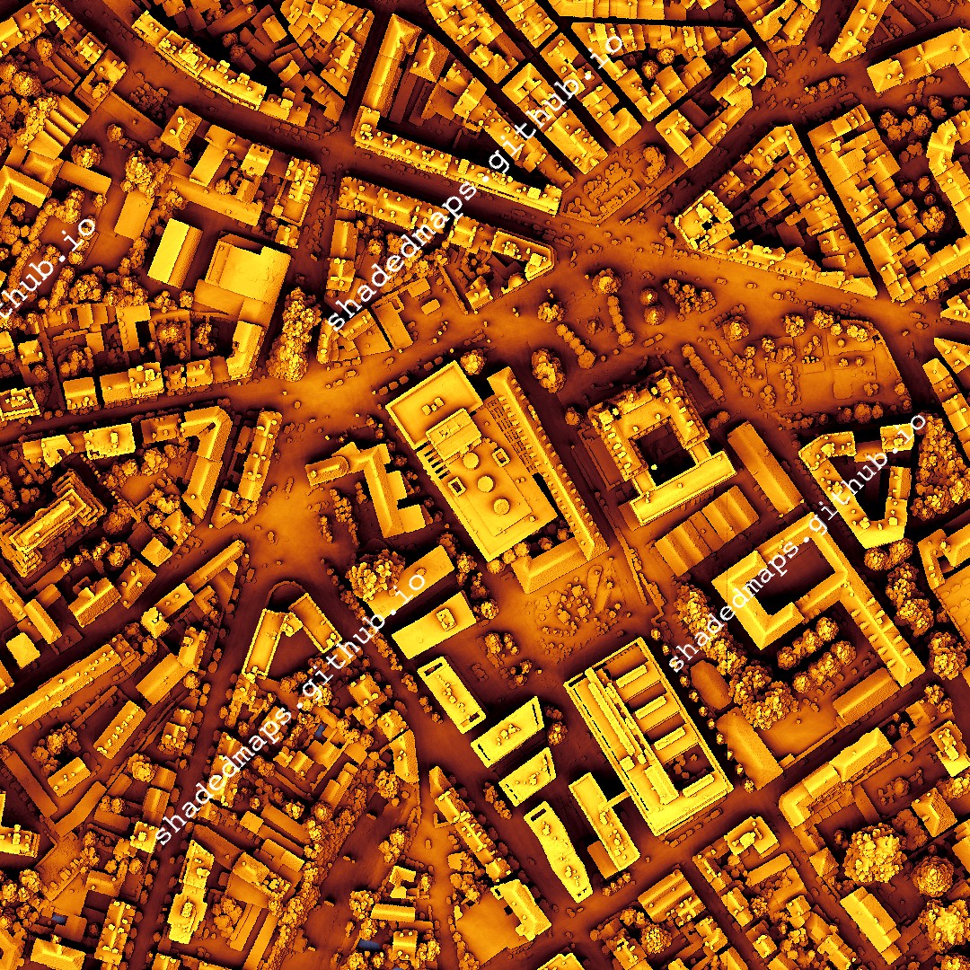
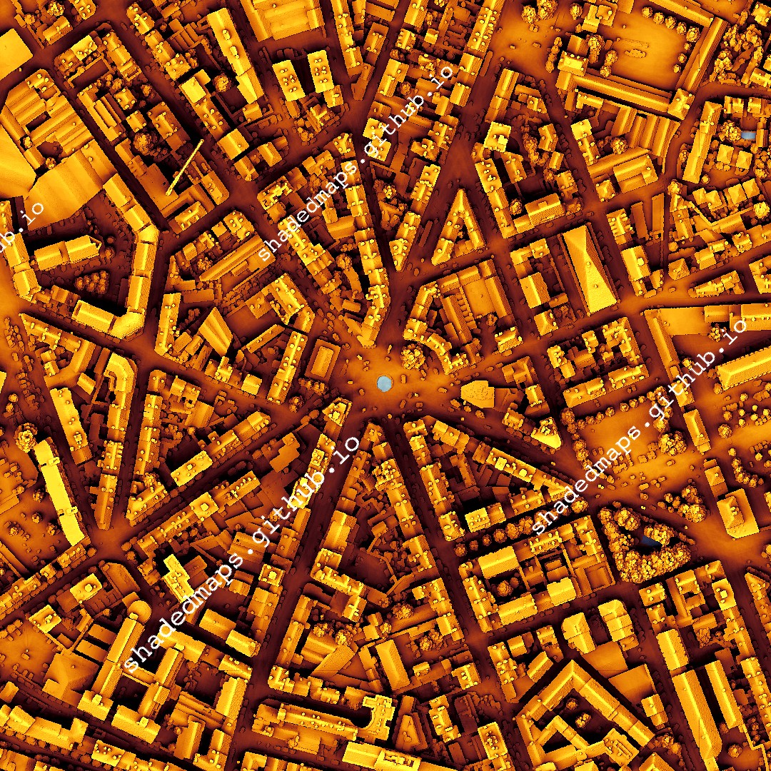
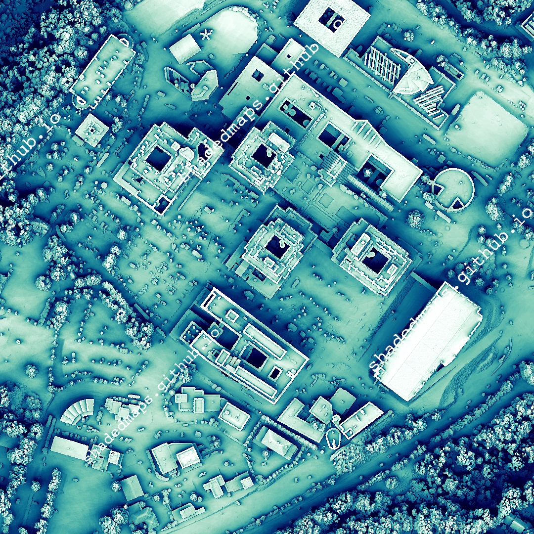
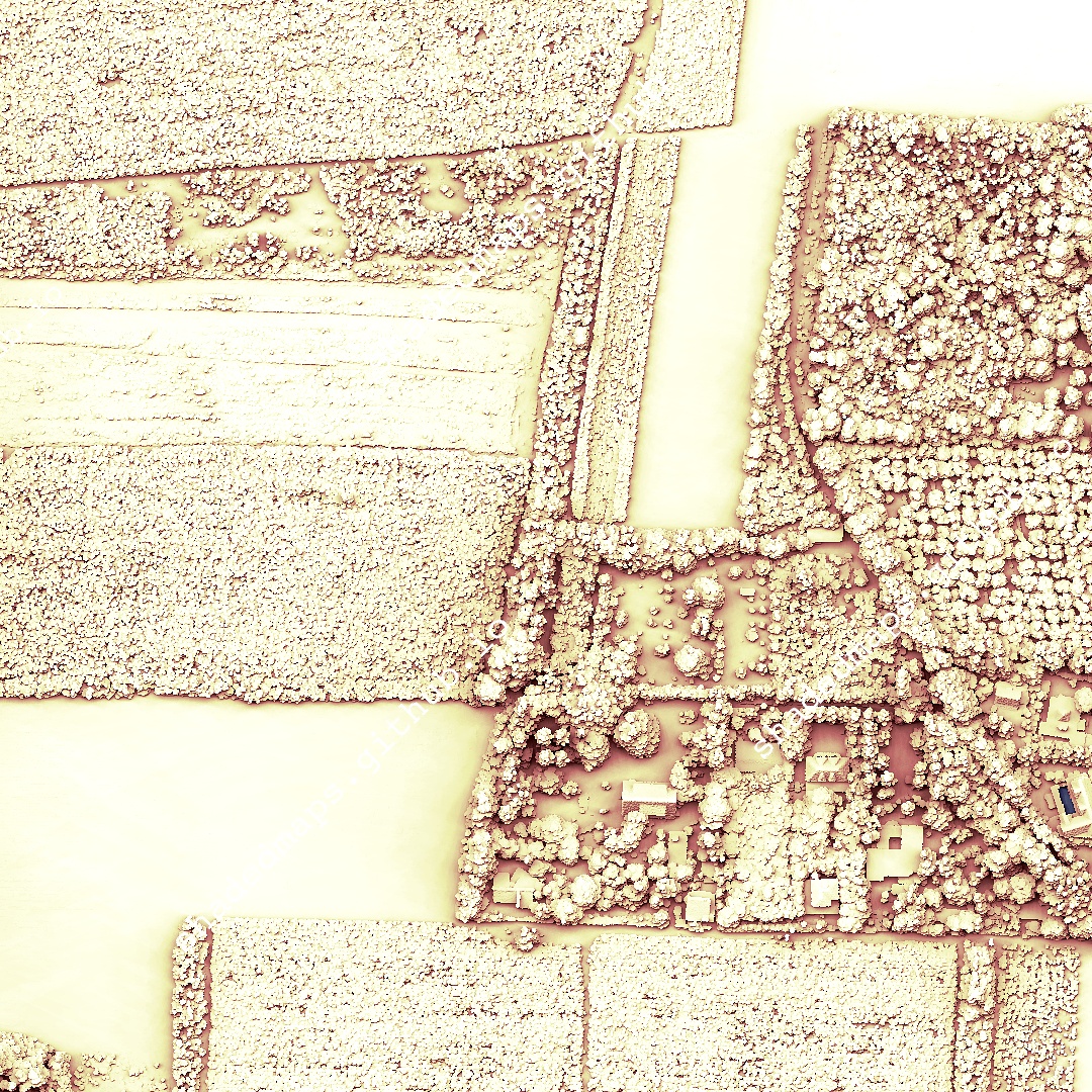
ALT A fragment from the shaded map of Limoges, France.
ALT A fragment from the shaded map of Limoges, France.
ALT A fragment from the shaded map of Limoges, France.


ALT Removal of open address datasets from 57 local authorities With great reluctance, I have today removed from the web downloads containing Council Tax property lists released as open data by 57 local authorities: 53 in England (including 14 London boroughs), one in Wales, and three in Scotland. The removed datasets contain more than seven million open address records in total. Information about those datasets remains at datadaptive.com/addr/. At the time of writing, none of the relevant local authorities have informed me that permission for re-use under the Open Government Licence was granted by them in error. OS/GeoPlace have not offered any specific evidence of analysis in support of their claim of infringement.
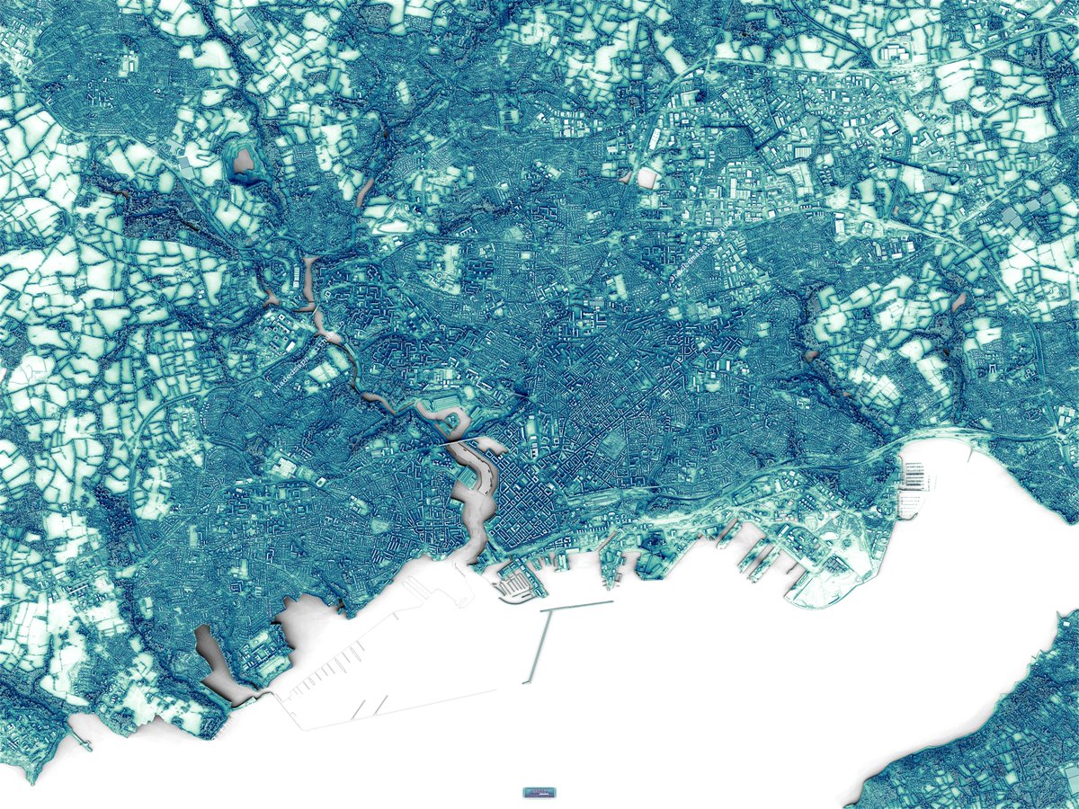
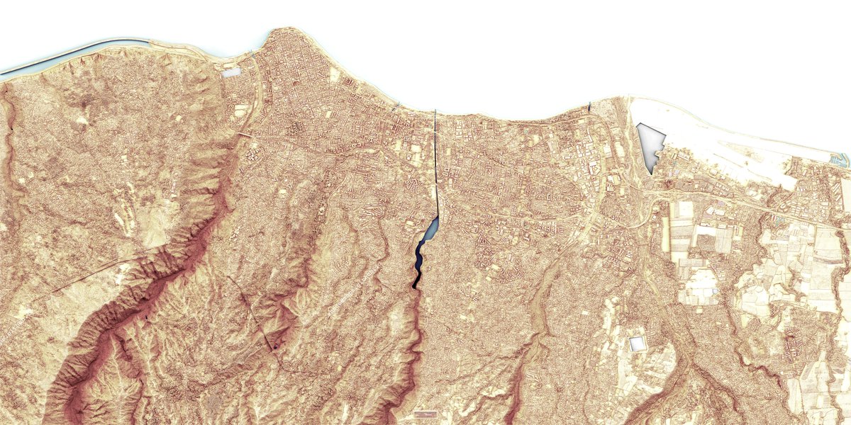
ALT Resized shaded map of Brest, France.
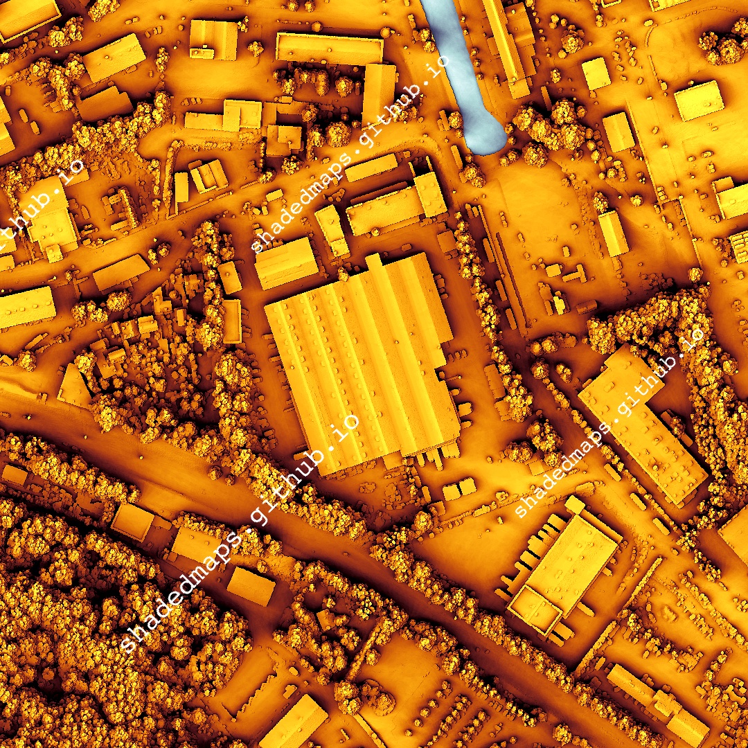
ALT A fragment from the shaded map of Brest, France.
ALT A fragment from the shaded map of Brest, France.
ALT A fragment from the shaded map of Brest, France.

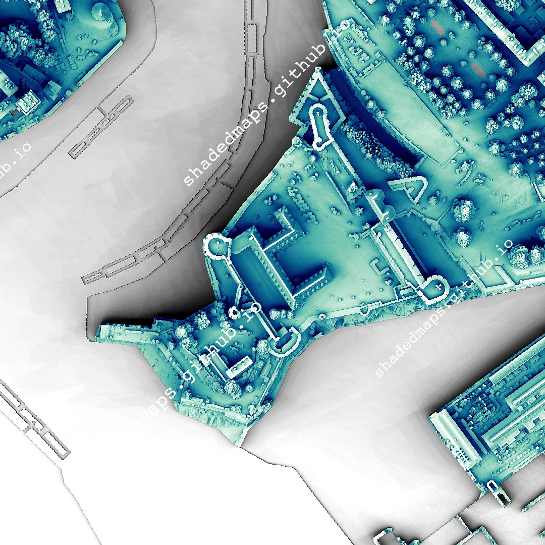
ALT Resized shaded map of Saint-Denis, La Réunion, France.
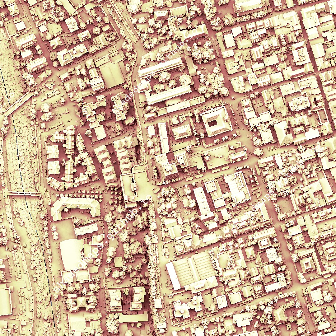
ALT A fragment from the shaded map of Saint-Denis, La Réunion, France.
ALT A fragment from the shaded map of Saint-Denis, La Réunion, France.
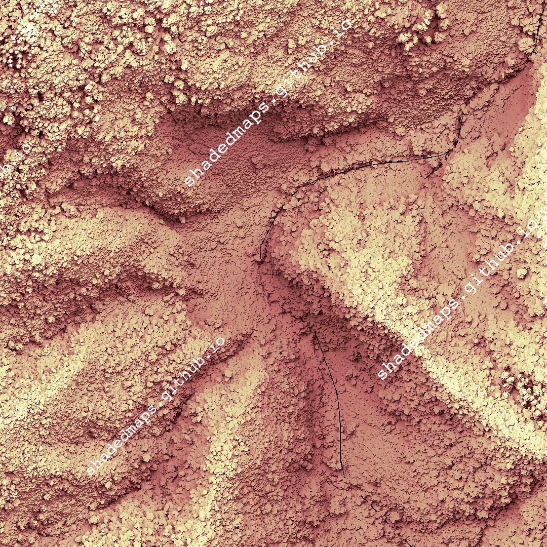
ALT A fragment from the shaded map of Saint-Denis, La Réunion, France.