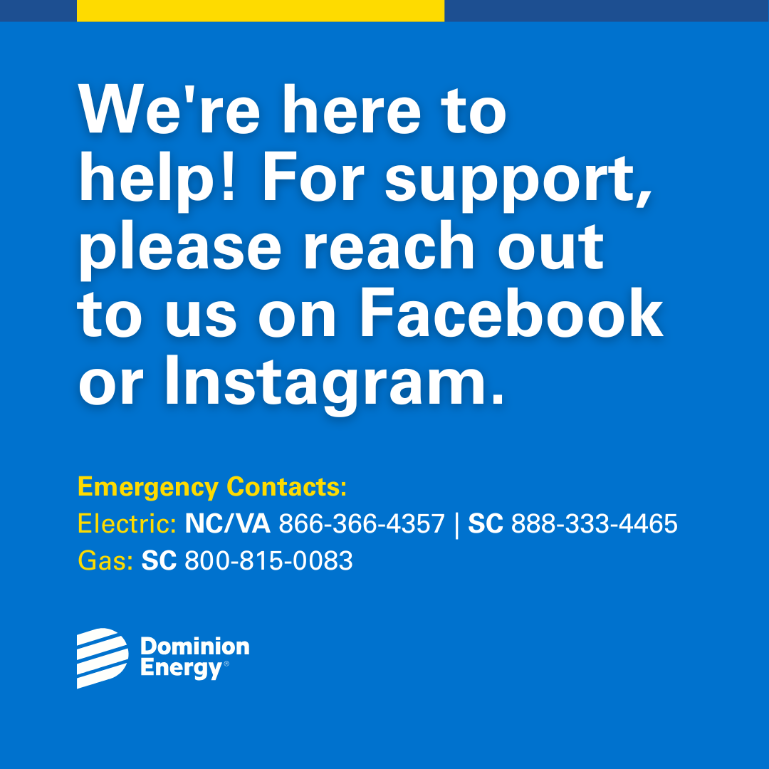
Serving our customers safely with clean and reliable energy. Customers can report outages at dominionenergy.com. If you suspect an emergency, call 911.
- Tweets 42,430
- Following 128
- Followers 61,538
- Likes 9,513


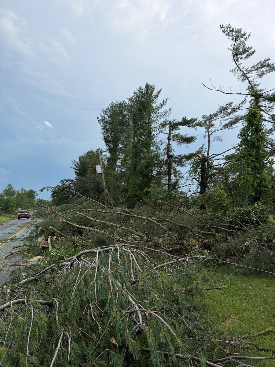
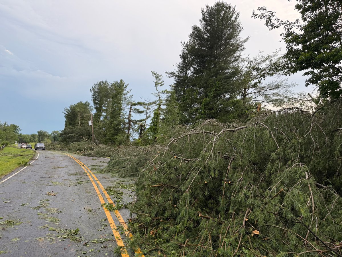
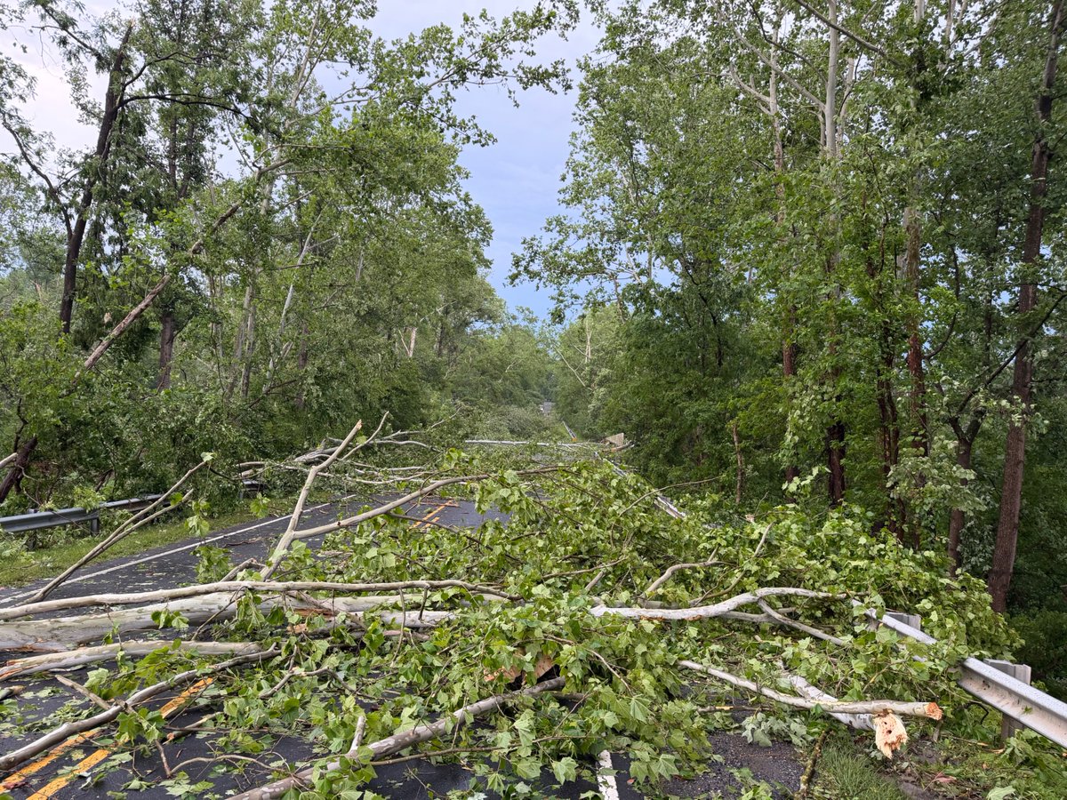
ALT An infographic titled "Severe Storm Potential Sunday" from the National Weather Service (NWS) Wakefield, VA, showing a severe weather outlook for Sunday, June 14, 2026. The center features a map highlighting the NWS Wakefield forecast area—including Richmond, Norfolk, Virginia Beach, and Salisbury—shaded in yellow with a number 2, indicating a "Slight" risk of severe weather. Surrounding areas are shaded green for a "Marginal" risk. What to Expect: Scattered to numerous showers and storms in the afternoon/evening. Damaging wind gusts are the primary hazard, with large hail, heavy rain, and an isolated tornado also possible. Timing & Motion: Most likely timing is 2 PM to 11 PM, with storms moving East-Northeast at 35 to 45 mph. Threat Levels: Wind gusts over 60 MPH are marked as a elevated/slight threat, while isolated large hail, a tornado risk, and localized flooding are marked at a lower but present level. Confidence: Moderate confidence for both storm coverage and storm intensity.


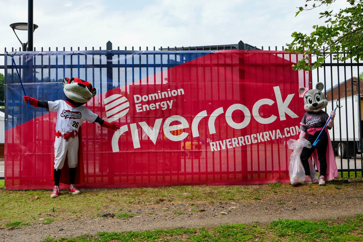
ALT Two mascots are posing at the Dominion Energy Riverrock event, standing in front of a branded banner. The scene is lively and playful.

ALT Two costumed mascots are gathering trash in a park, promoting environmental awareness and teamwork. The scene is bright and cheerful.