
Set of tools by @hotosm for searching, sharing, and using openly licensed satellite and unmanned aerial vehicle (UAV) imagery
Joined May 2015
- Tweets 110
- Following 191
- Followers 1,468
- Likes 45
30 Photos and videos


OpenAerialMap retweeted

5 Jul 2018
🤖🗺️ Awesome detailed walkthrough by daniel-j-h of automated building extraction in Tanzania using @mapbox's open source robosat pipeline, @openstreetmap, and @OpenAerialMap openstreetmap.org/user/danie…
18
64
OpenAerialMap retweeted

21 Jun 2018
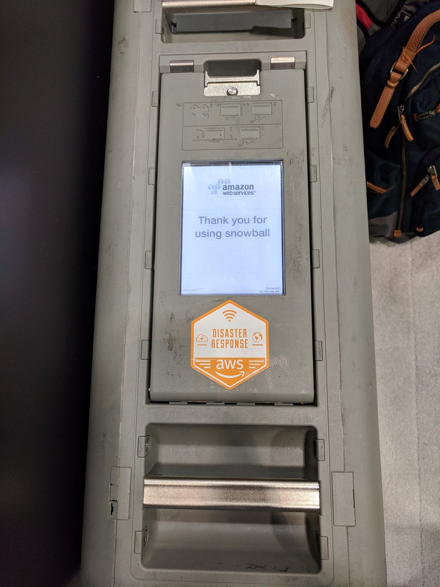
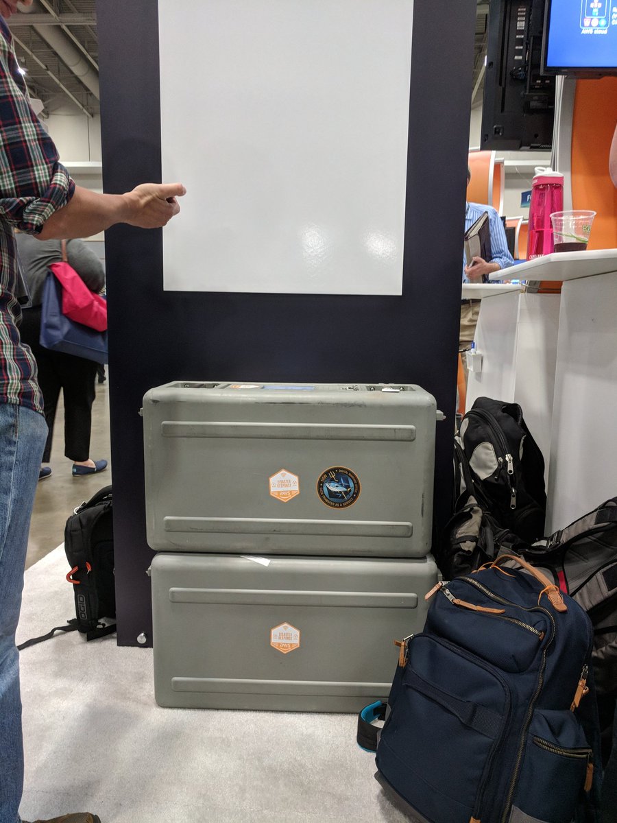
Got a demo today on @awscloud Snowball Edge today from @mojodna. It is a Petabyte data transfer (dustproof, waterproof) device that can be deployed post disaster, running @OpenAerialMap @awesomeposm and #OpenStreetMap editing completely offline. #AWSPSSummit @joseph_flasher

1
13
33

18 May 2018
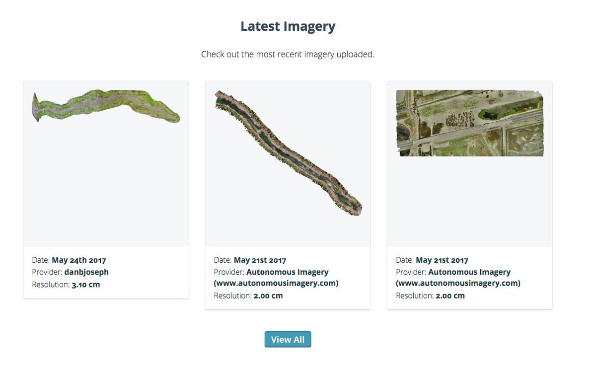
Every day new imagery is uploaded. Contribute imagery and directly support organizations on the ground. Learn more about the growing OAM community and check out our new video 📽️ blog.openaerialmap.org/growi…
1
12
OpenAerialMap retweeted

20 Apr 2018
So awesome!!! Didn't realize you could just type it in. And it seems like @qgis 3 also fixed the transparency issues. So cool to see a 1.2 gig file load instantly and stream in. Thanks @OpenAerialMap for the data! Gotta update my cog tutorial to tell people to just use QGIS 3.
4
6
19
12 Jan 2018
Have machine learning skills & want to combine with aerial imagery of 🇹🇴? Launching an Open AI Challenge in the South Pacific together with @WeRobotics and @worldbankdata: blog.openaerialmap.org/open-…
4
11
OpenAerialMap retweeted

10 Jan 2018
We're excited to launch the Open #AI Challenge for the South Pacific with the @WorldBank and @OpenAerialMap! The goal is to automatically analyze aerial imagery for food security analysis & more by using Artificial Intelligence bit.ly/2qO3OuN
3
41
48

Sift through one of the cleanest and most advanced cloud native geospatial architectures - @openaerialmap. Part 4 in a series by @opencholmes. medium.com/planet-stories/cn…
1
10
23
20 Oct 2017
We're fully back online with new features and an API. Everything is operating normally. Stay tuned for updates on what's new.
2
20 Oct 2017
Status update! We’re deploying updates to our API and website. Users may experience a few minutes of downtime.
1
3
16 Oct 2017
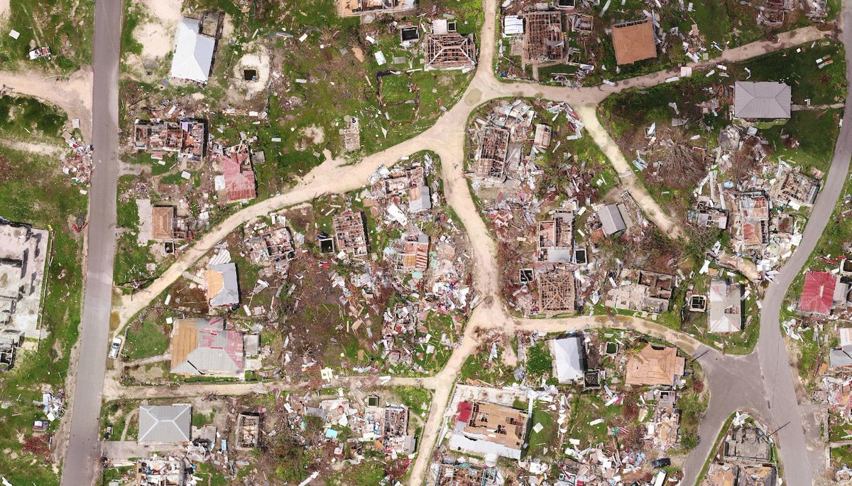
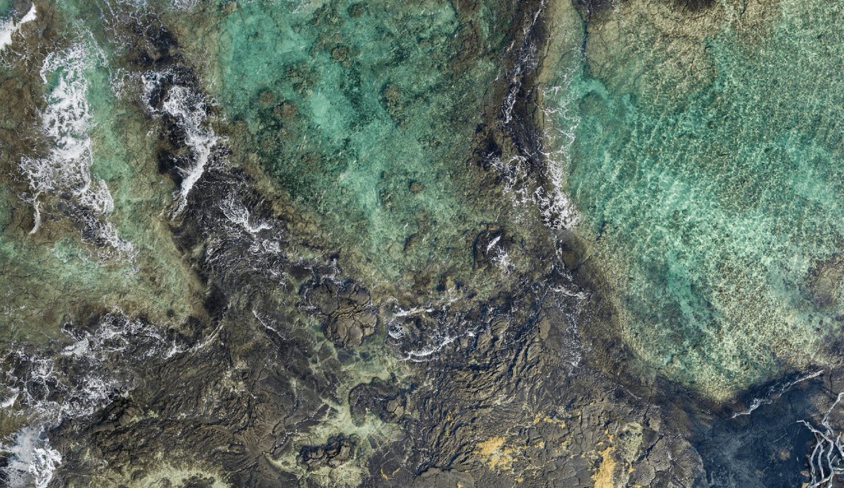
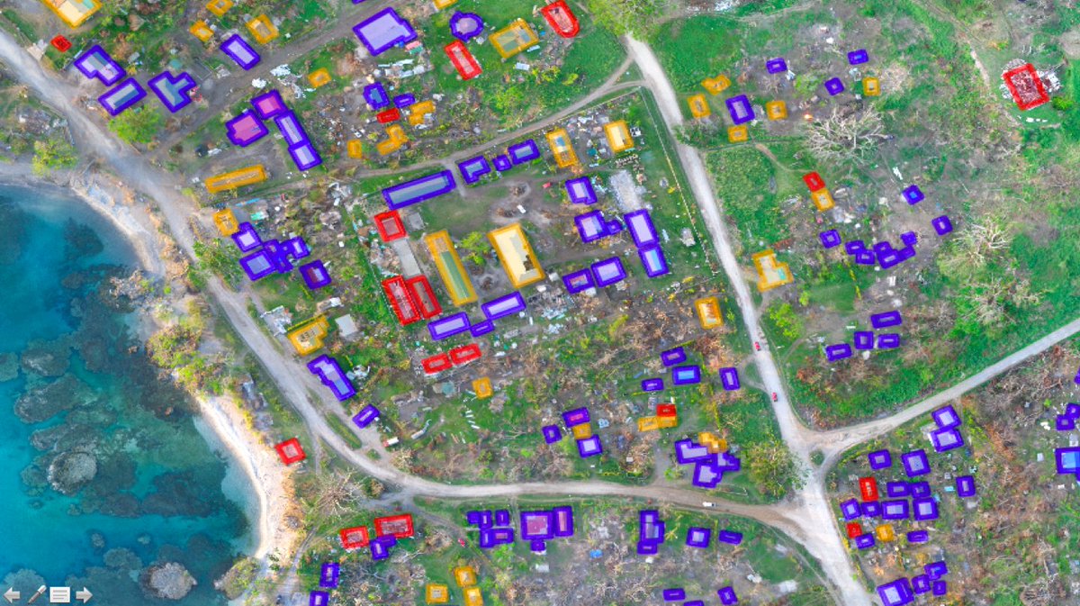
Update on UAV imagery in the Caribbean & Mexico after recent disasters. Supporting recovery work across the region: blog.openaerialmap.org/new-u…
2
35
44
OpenAerialMap retweeted

8 Sep 2017
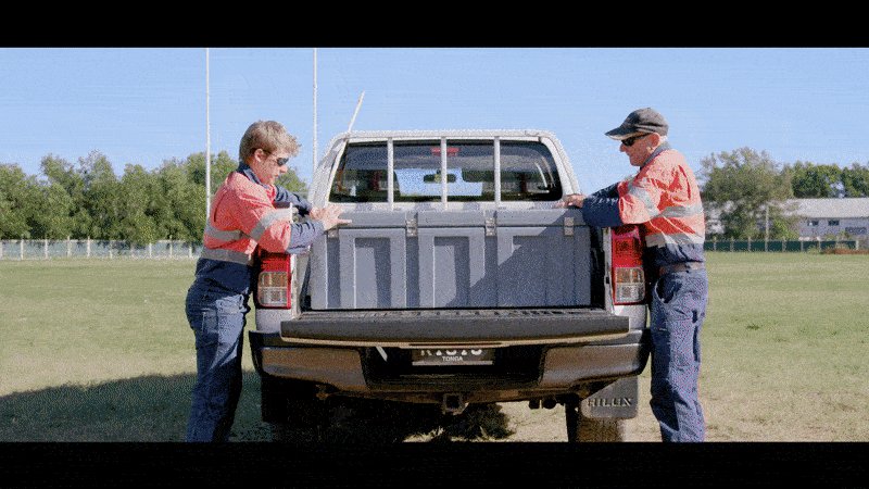
If you are flying UAV for #Harvey or #Irma please upload your captured imagery to @OpenAerialMap Free open hosting of drone imagery.
17
25
2 Sep 2017
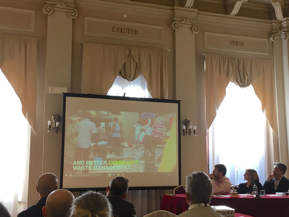
This last week we presented at the @WoDCongress in Brisbane. New blog post up with a recap of our session: blog.openaerialmap.org/opena…
3
10

A collection of relief & rescue maps for #HurricaneHarvey #HarveyRelief Working on something? Let us know blog.mapbox.com/hurricane-ha…
2
21
19
OpenAerialMap retweeted

#PacificHumanitarianChallenge winner PacDID presenting at @WoDCongress about aerial mapping in the Pacific #WoDC17 #OpenAerialMap #drones
9
18
OpenAerialMap retweeted

30 Aug 2017
Officially open! World of Drones Congress kicks off in Brisbane. Sharing about @OpenAerialMap work in the Pacific. Say hello! #WoDC17

1
5
13
16 Aug 2017
Open source flying, processing & sharing drone imagery. Checkout @danbjoseph’s talk tomorrow at #foss4g
foss4g.guide/#9M4SVbV9EHnkBb…
23
51
14 Aug 2017
Want to keep up to date on @OpenAerialMap updates and community stories? Follow our new blog at blog.openaerialmap.org/.
6
11
27 Jul 2017
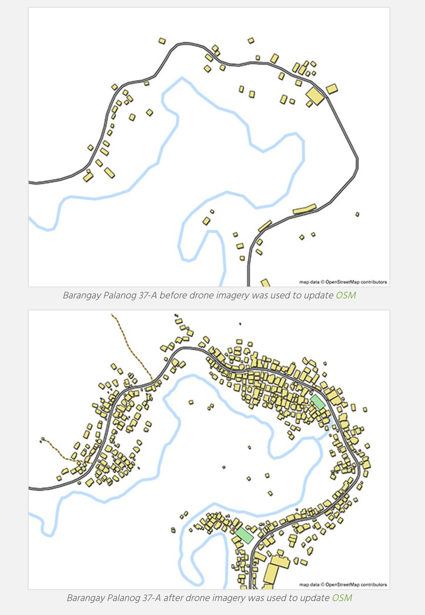
Combining UAV & street-level imagery for improved OSM mapping. @TheMissingMaps shares about work in the Philippines: missingmaps.org/blog/2017/07…
14
20
OpenAerialMap retweeted

14 Jul 2017
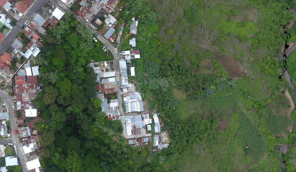
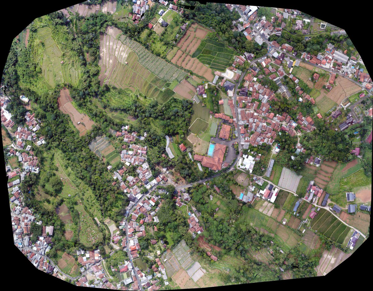
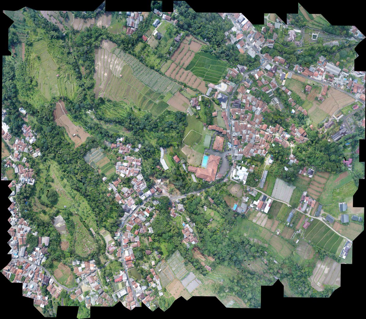
Nicely done aerial UAV imagery DJI litchi qgis post processed by Web @OpenDroneMap vs @pix4d hosted in @OpenAerialMap ready for mapping


1
7
15

Want to know how OpenStreetMap works? Check out their latest blog, it will walk you through it! @OpenAerialMap bit.ly/2tD0C4P
1
4