
Spatial ecologist, #GIS professional, researcher in sustainable land use, interested all things nature and conservation
- Tweets 894
- Following 351
- Followers 611
- Likes 1,389


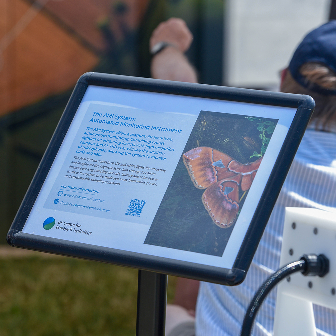
ALT Leaflet describing the automated monitoring instrument AMI system
ALT Professor Richard Pywell in conversation
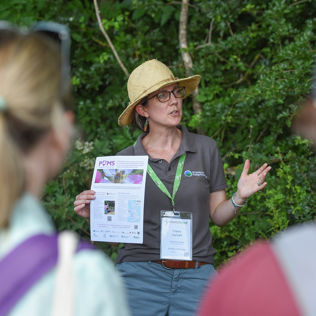
ALT Dr Claire Carvell holding a POMS leaflet
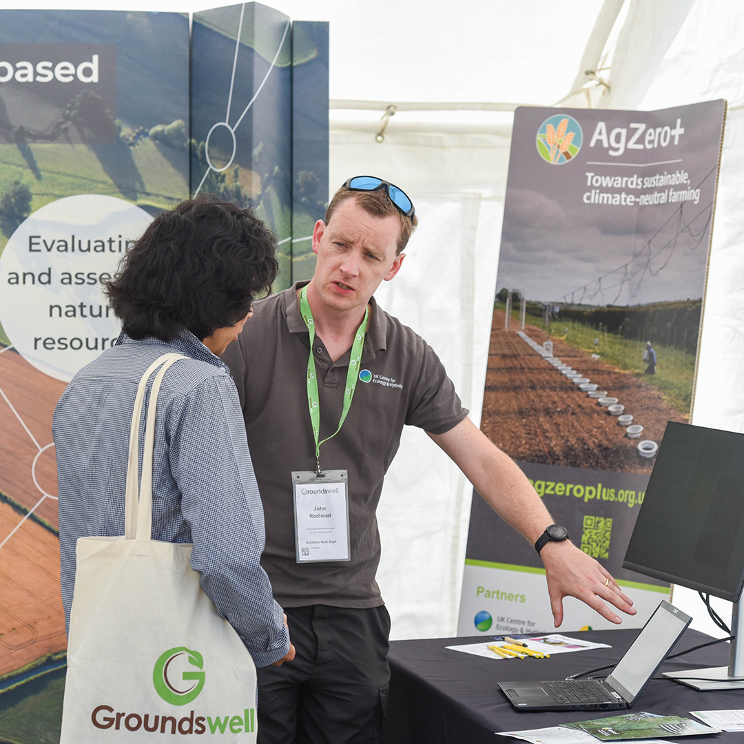
ALT Dr John Redhead discusses digital tools with a visitor to a stand


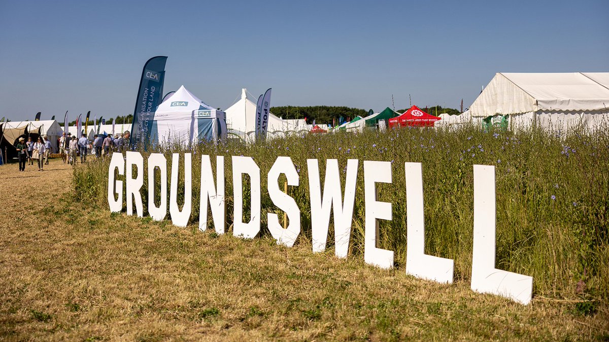
ALT Sign at the Groundswell event saying Groundswell with tents and flags in the background
ALT Sign at the Groundswell event saying Groundswell with tents and flags in the background

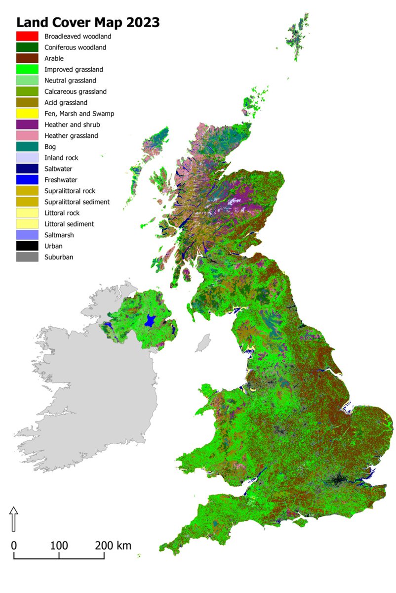
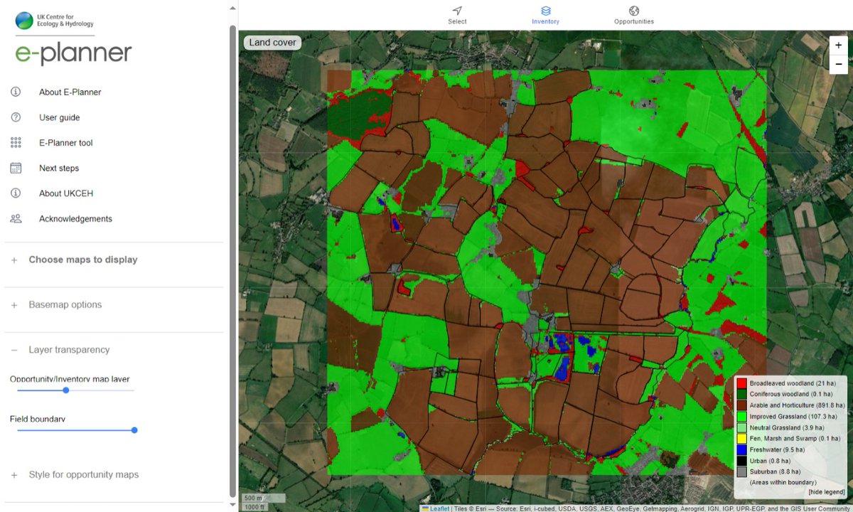
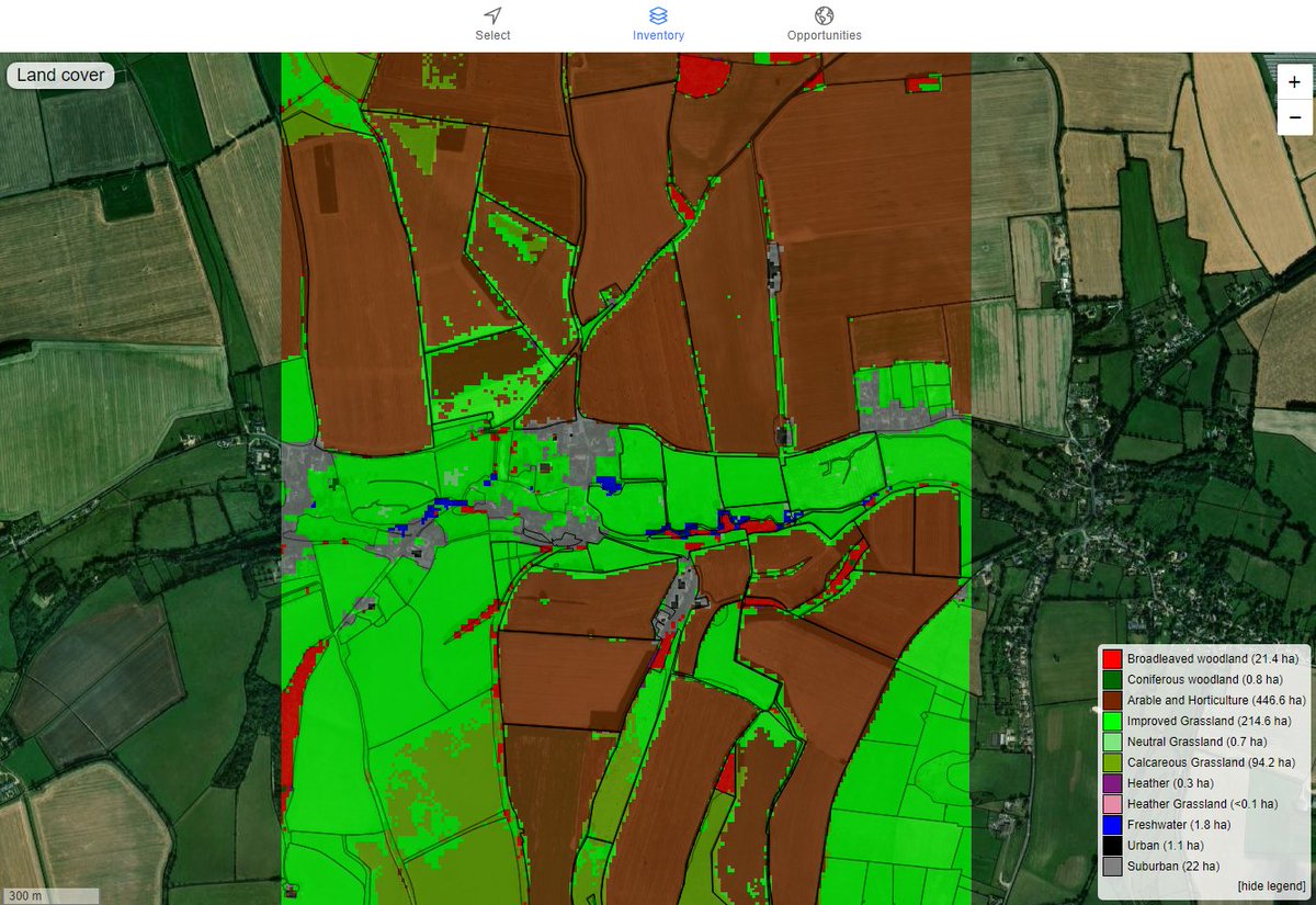
ALT Land Cover Map 2023 with key indicating broad habitat classifications
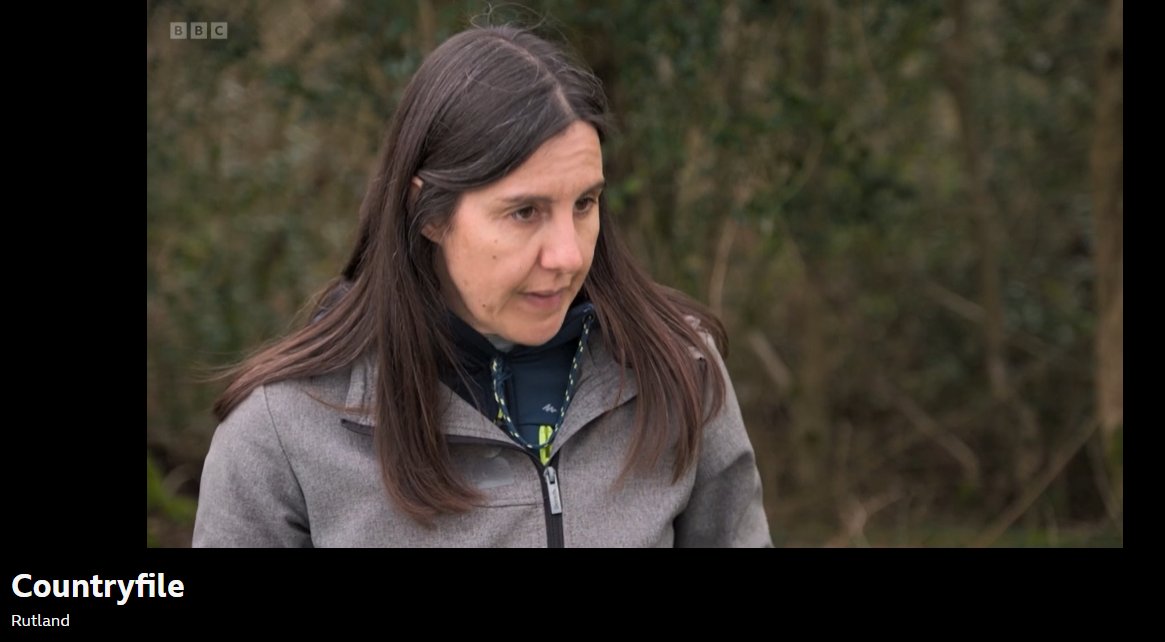
ALT Dr Bethan Purse interviewed on Countryfile


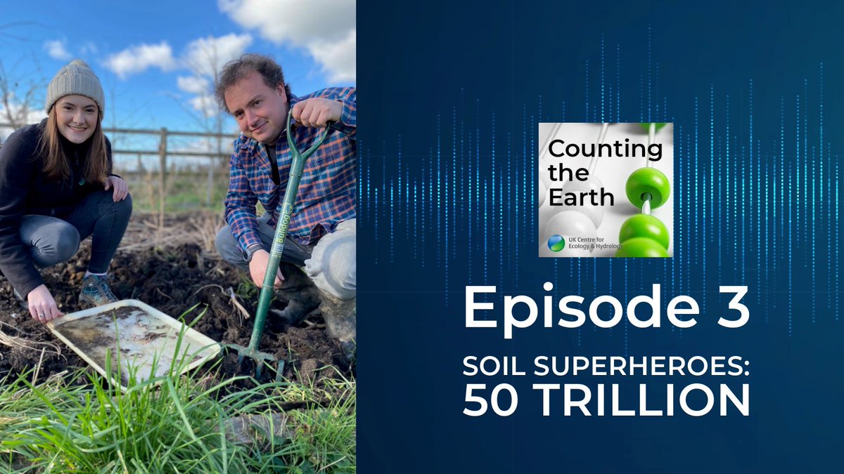
ALT Alice Hope and Alex Robinson from UKCEH plus title Episode 3 Soil Superheroes: 50 trillion and Counting the Earth podcast logo


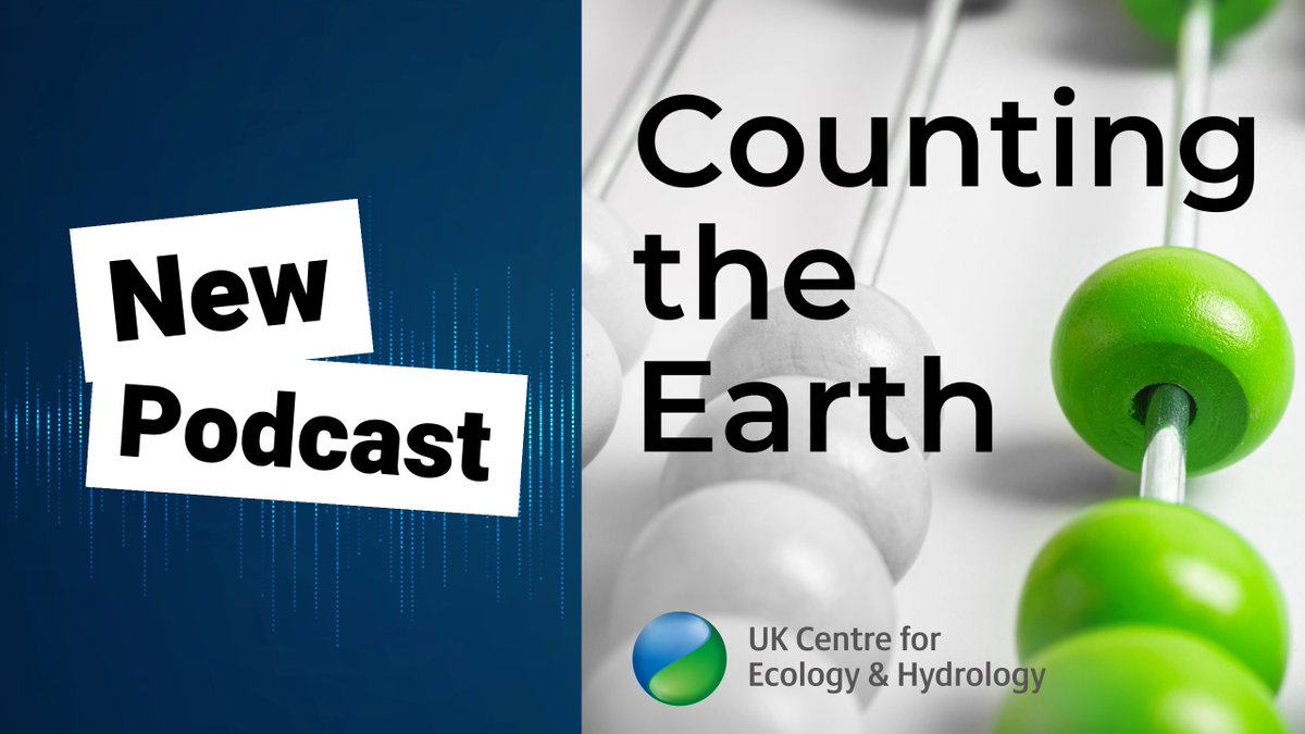
ALT New podcast Counting the Earth and image of abacus with green beads

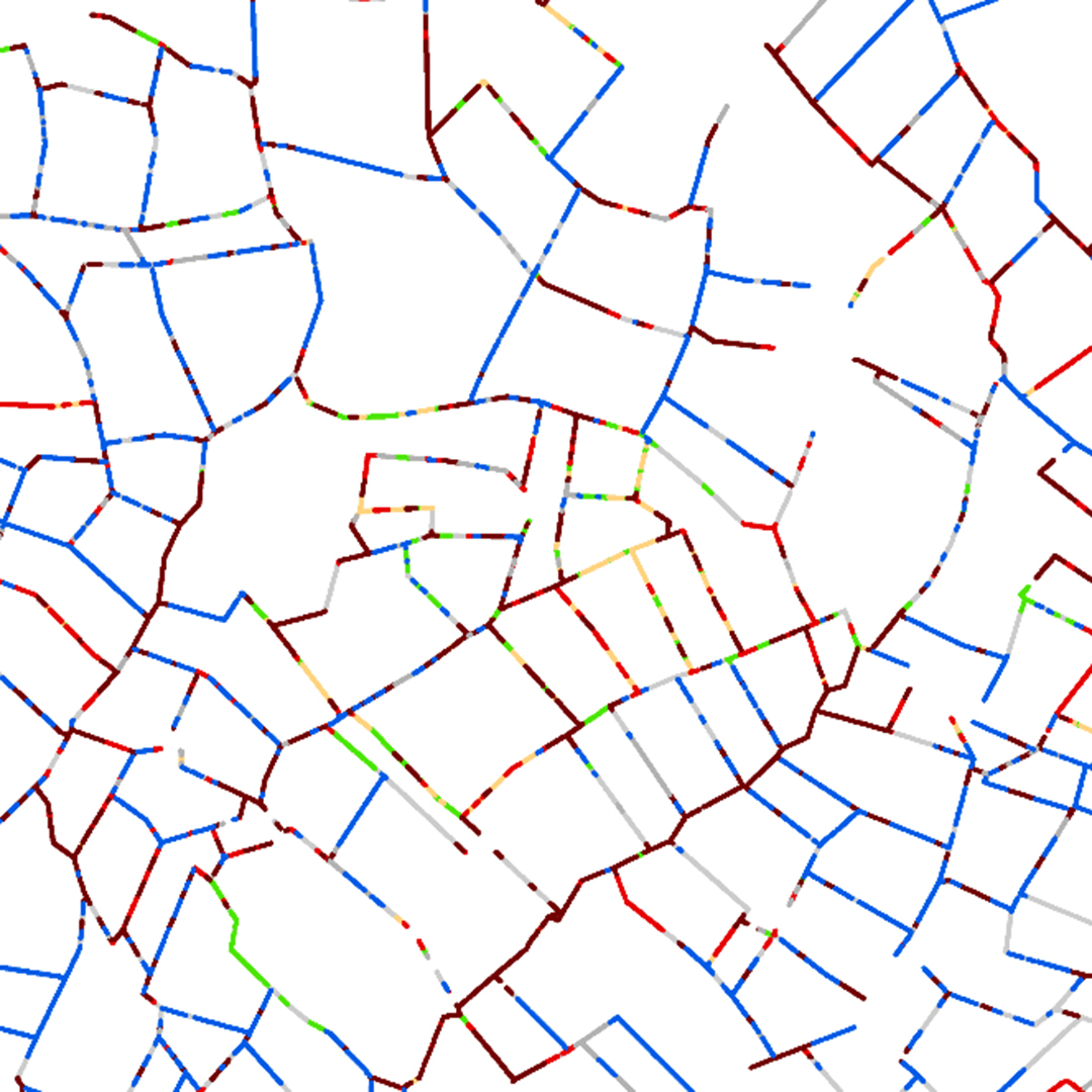
ALT Data sample from Land Cover Plus Hedgerows showing woody boundaries of land parcels/fields colour-coded by height class (blue or green for shorter hedges and red for taller tree lines)
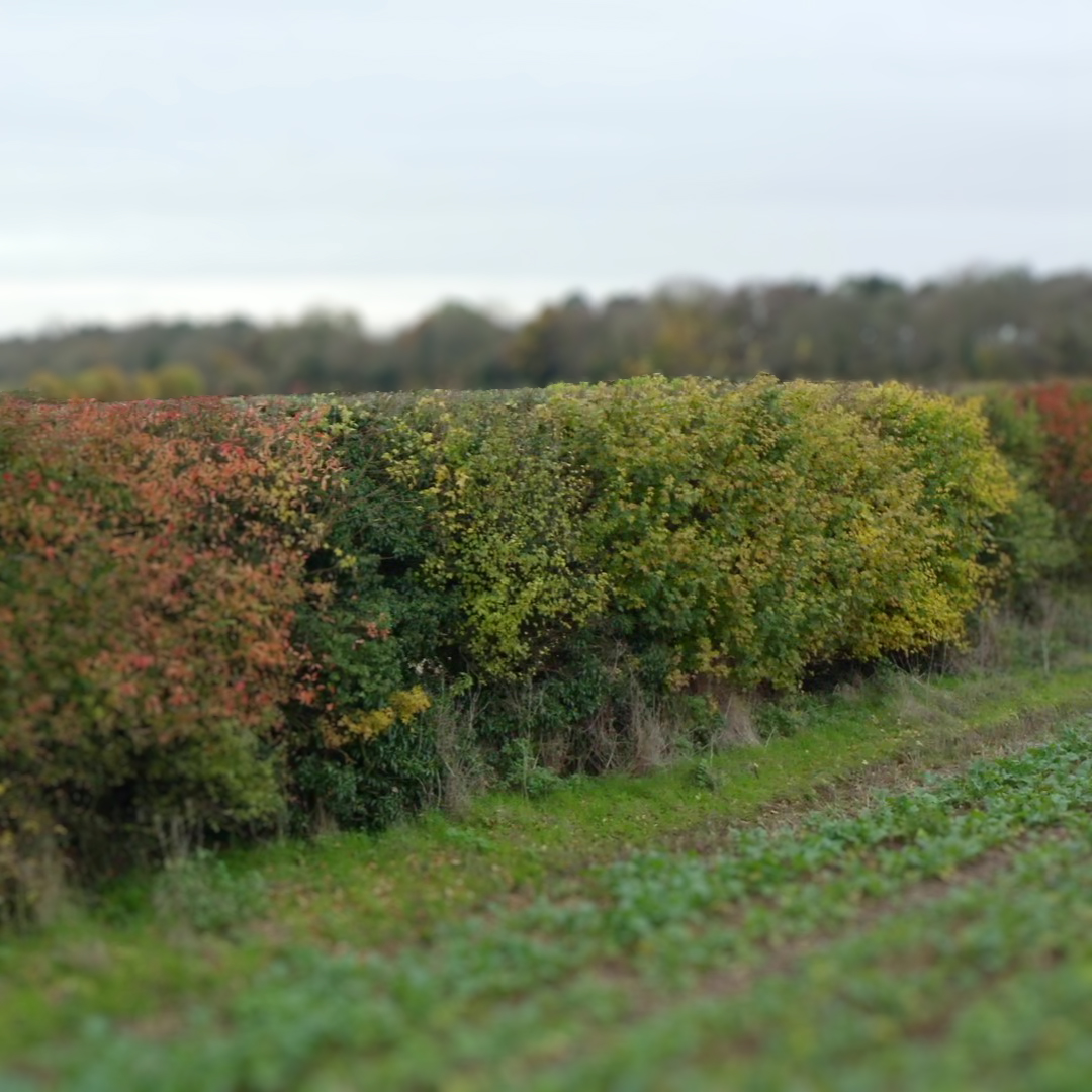
ALT An English hedge in Autumn

ALT A hedge in autumn
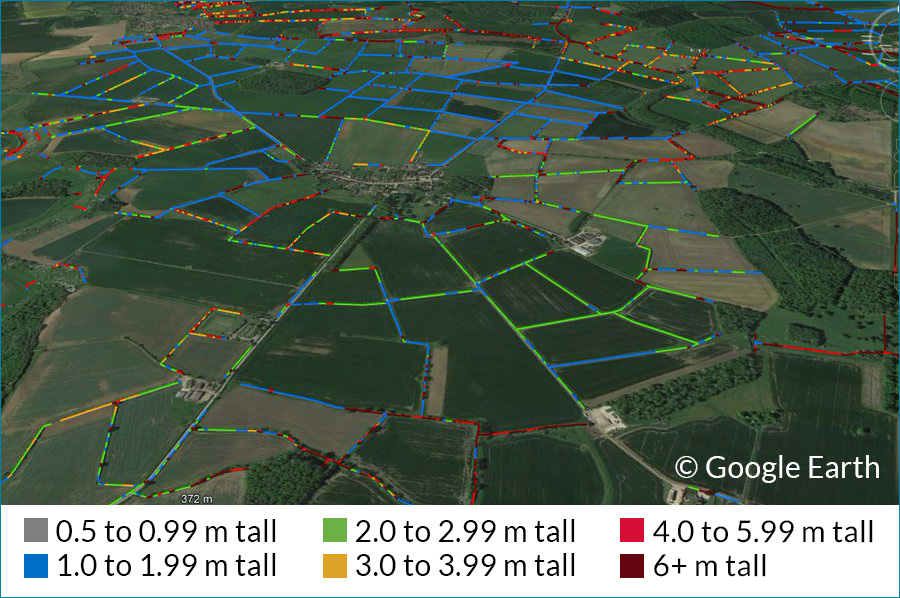
ALT Hedgerow map overlaid on Google Earth to show hedge height