Delivering Intelligence from Space
Joined April 2014
- Tweets 2,947
- Following 772
- Followers 3,343
- Likes 813
1,273 Photos and videos


Jun 3
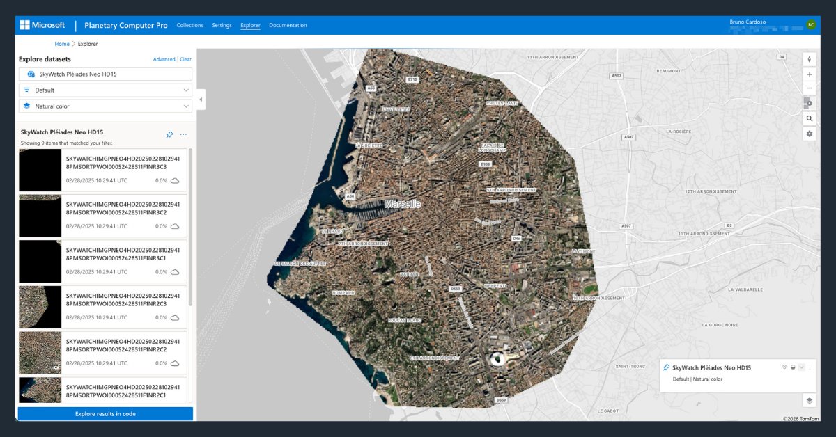
Licensed imagery, delivered directly into GeoCatalog. Explore SkyWatch's new @Microsoft Planetary Computer Pro integration.
Learn more: hubs.li/Q04jVDRq0
#MSBuild #EarthObservation #Geospatial #Azure
2
1
3
860
Mar 19
We’re sponsoring the CommEO Award with @creativedlab @esa 🚀
We're backing the winner with:
- $10K in data credits
- 12 months of BUILD API support
- Dev GTM guidance
If you're building in climate, resilience, or infrastructure, check it out
hubs.li/Q047yfND0
1
94
Feb 17
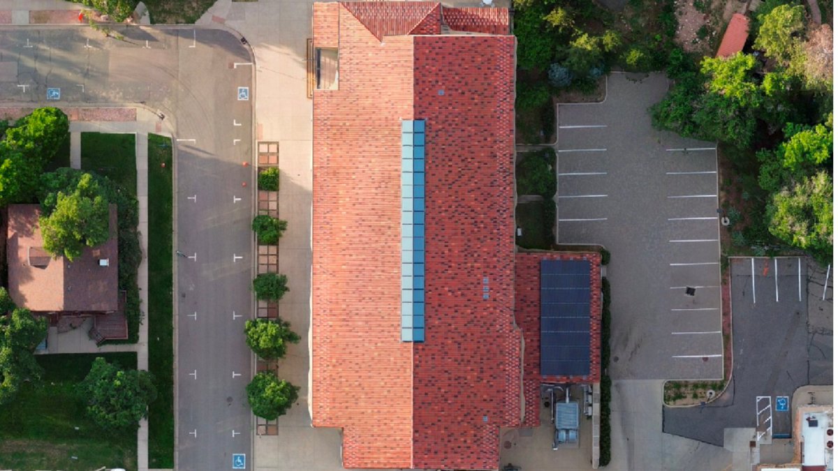
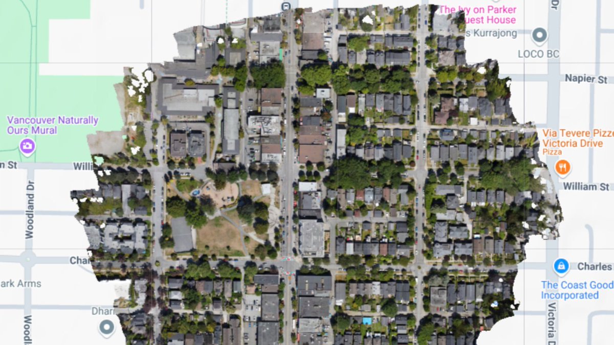
Orthomosaic drone imagery from @SpexiGeospatial is now live on the SkyWatch platform.
Access ultra-high-resolution (2.8 cm) standardized drone data for mapping, AI training, infrastructure monitoring & more.
Learn more: skywatch.com/drone-imagery/
1
2
19
843
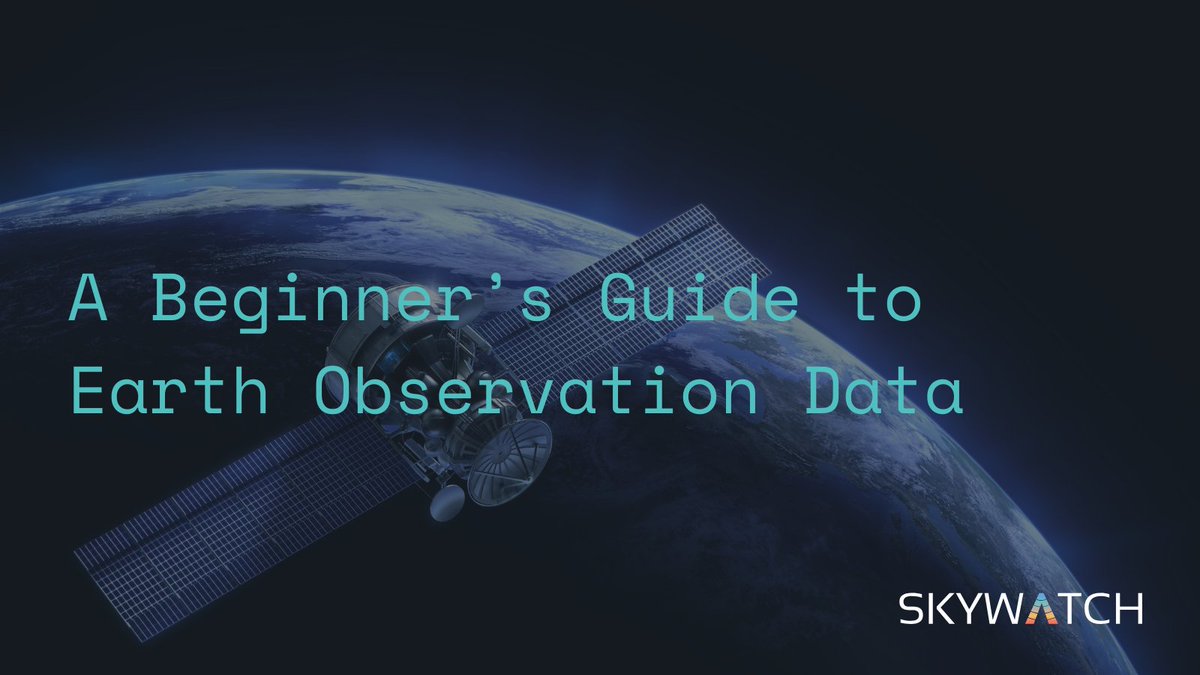
Jan 27
Earth observation data is changing how teams:
• Track infrastructure
• Assess risk
• Monitor environmental change
• Respond to events
We put together a beginner’s guide to EO data, no remote sensing background required.
hubs.li/Q040v-9D0
#EO #GIS #SatelliteData
1
175
Jan 20
Satellite imagery is an enterprise staple, but choosing a provider isn’t simple.
❓ Direct contracts vs. aggregation platforms
❓ Resolution vs. revisit
❓ Licensing, latency, and scale
Demystify the evaluation process with our guide: hubs.li/Q03-6xsj0
#SatelliteImagery
125
Jan 16
Satellite data doesn’t equal insight.
Common EO mistakes:
❌ Overpaying for resolution
❌ Ignoring revisit rates
❌ Letting clouds break workflows
❌ Buying data instead of answers
How to avoid them 👇
hubs.li/Q03-6cTQ0
#EarthObservation #SatelliteImagery #Geospatial
1
126
Jan 14
New partnership announced 🚀
SkyWatch @Nearmap are expanding access to high-resolution aerial imagery for planning, analysis, and decision-making, now available through SkyWatch and Content Store for ArcGIS.
hubs.li/Q03-MwbH0
#RemoteSensing #AerialImagery #Geospatial
3
108
Jan 13
With satellite imagery, enterprises can automatically detect:
• Restricted zone activity
• Vegetation risks near power lines
• Changes at remote assets
Learn how satellite imagery enables compliance: hubs.li/Q03-tLFd0
#SatelliteImagery #Compliance #Infrastructure
1
69
Jan 9
Is a true “live satellite view” possible? Not quite yet, but near-real-time satellite imagery is already delivering actionable intelligence in hours, not weeks.
Here’s what’s possible today 👇
hubs.li/Q03-5JjW0
#SatelliteImagery #Geospatial #EarthObservation
2
113
17 Dec 2025
🎁Give yourself the gift of premium imagery from @vantortech, now available at SkyWatch-exclusive prices.
Limited-time offer ends Dec 31, 2025.
👉 hubs.li/Q03Yv2xt0
#satelliteimagery #satellitedata #basemaps #elevationdata #vantor
1
1
1
171
3 Nov 2025
We’re partnering with @spexigeospatial to bring standardized drone imagery to SkyWatch & ArcGIS users.
Spexi’s ultra-high-res data will be available soon on the SkyWatch platform, incl. Content Store for ArcGIS.
hubs.li/Q03Rtd-00
#SkyWatch #Spexi #DroneImagery #ArcGIS
1
149
23 Oct 2025
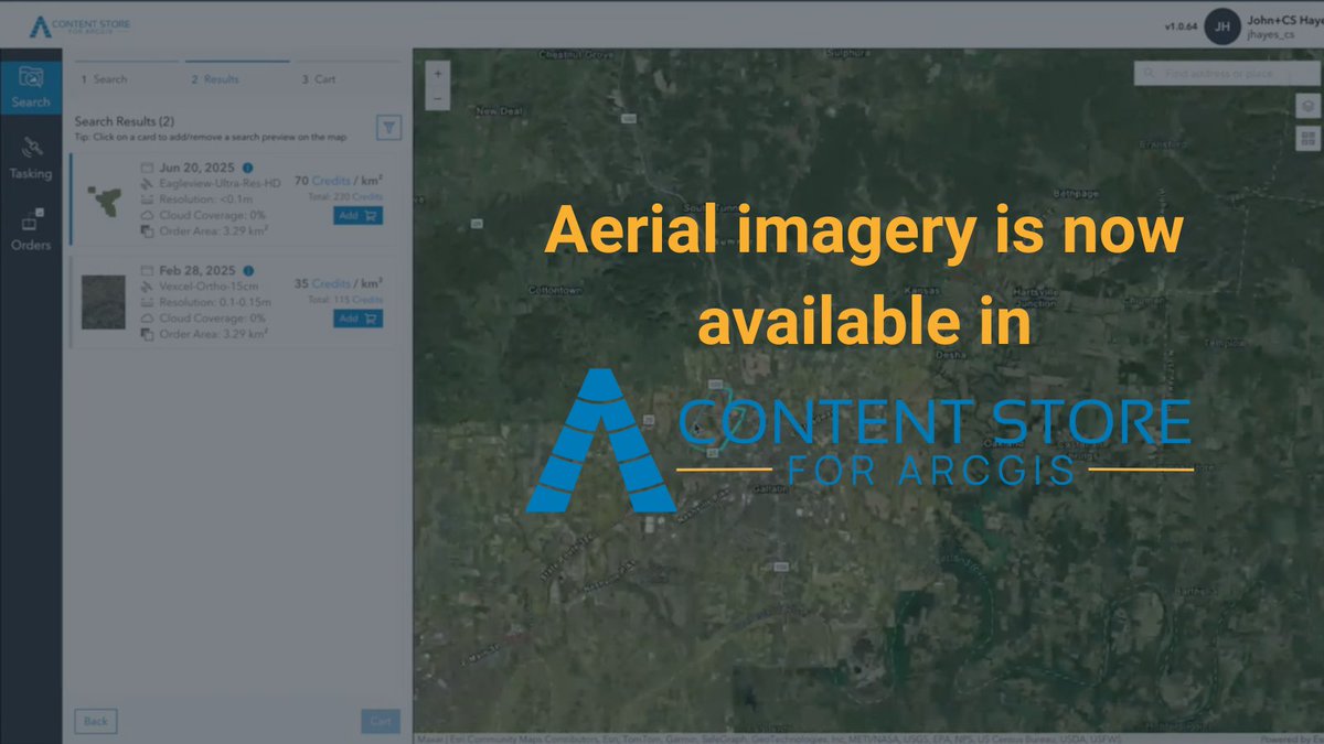
High-res aerial imagery is now available directly in SkyWatch’s Content Store for @Esri ArcGIS!
Access premium data, preview & purchase it right inside your Esri environment.
Learn more 👇
hubs.li/Q03PTCyK0
#GIS #ArcGIS #AerialImagery #EarthObservation
1
152
5 Aug 2025
⛽ Keeping pipelines and assets consistently monitored is no small task, especially at scale.
Learn how satellite imagery helps:
⚠️ Detect leaks early
💲 Cut inspection costs
☑️ Meet regulatory goals
hubs.li/Q03BlWv50
#OilAndGas #SatelliteImagery #AssetMonitoring
232
15 Jul 2025
New data source alert 🚨
Today, we announced a collaboration with @EagleViewTech to bring ultra-high resolution aerial imagery to the SkyWatch platform.
Read more here: hubs.li/Q03xgHJf0
Want to see what it looks like? Check it out: hubs.li/Q03xgM710
1
2
260
14 Jul 2025
Discover how geospatial data transforms renewable energy site planning 🌱
From solar to wind projects, satellite-based planning delivers speed, accuracy, and ROI.
Check out our use case hubs.li/Q03x4hpC0

202
2 Jul 2025
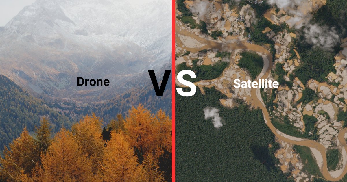
Drones vs. Satellites: Which option is better for project site monitoring?
Explore the unique advantages of each and find the best fit for your needs in our use case.
🔗 hubs.li/Q03v4bpw0
#Drones #Satellites #ProjectMonitoring
2
190
23 Jun 2025
Check out our use case on using satellite data for solar farm site selection. Factors like sunlight, land shape, and infrastructure matter to maximize efficiency.
🔗 hubs.li/Q03sHwp30

1
164
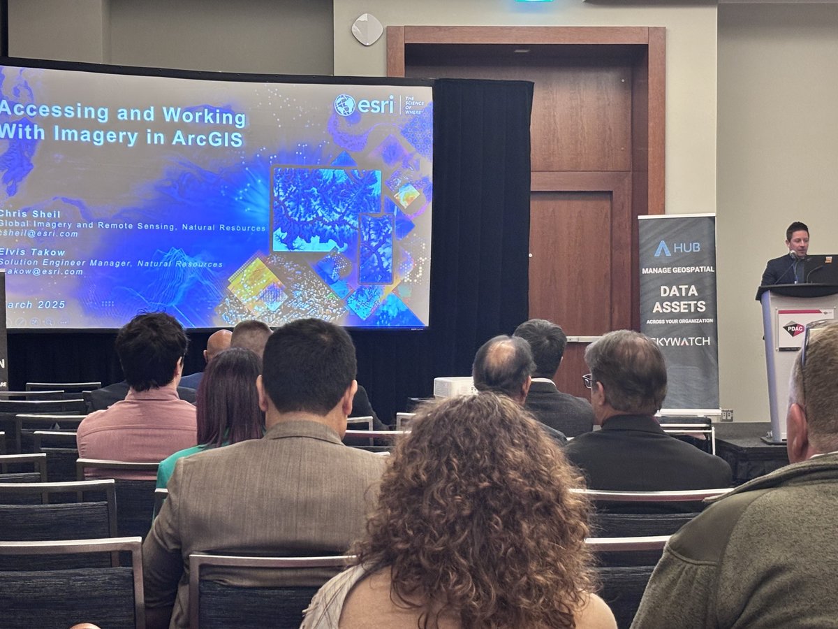
28 Apr 2025
Stop shopping around for imagery when building maps in ArcGIS, use Content Store instead.
Learn more: hubs.li/Q03k1D3J0
Watch the full presentation from PDAC 2025: hubs.li/Q03k1BcM0
1
2
253
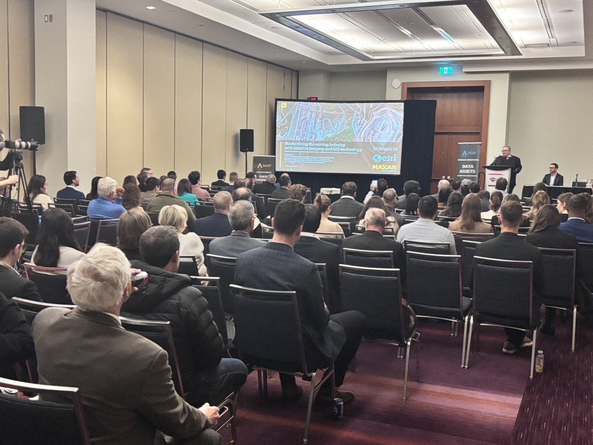
15 Apr 2025
See this snippet of SkyWatch, @Esri and @Maxar's presentation on ways mining companies can leverage high-resolution satellite imagery to support efforts like environmental monitoring and creating sustainable growth at PDAC 2025.
Watch the full video hubs.li/Q03ht3pd0
3
296