
This is an archived account and is not being updated. For the latest updates follow @USGS.
Joined February 2015
- Tweets 2,315
- Following 113
- Followers 1,603
- Likes 1,551
1,468 Photos and videos

USGS Kansas retweeted
5 Mar 2025
.@USGS operates an extensive network of stream, rain and groundwater gages that monitor how much water there is across the nation at any given moment. The @NWS uses the USGS stream and rain data to forecast when flooding might occur and issue flood warnings.

ALT Sand Creek monitoring station below Sand Creek Canal near Chinchalo, Oregon in the Williamson River Basin.
7
88
442
14,385

12 Nov 2024
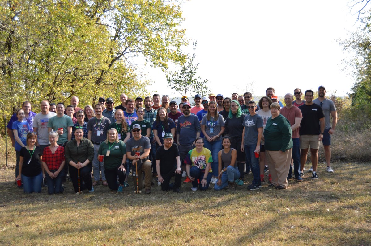
#NationalHappyHourDay The KSWSC recently got together after work to conclude a week of annual training activities! #Cheers
3
216
11 Nov 2024
We thank Veterans for their service and sacrifice for our country. Let's honor the bravery, dedication, and patriotism of our veterans today and every day. #VeteransDay #ThankAVeteran
2
177
6 Nov 2024
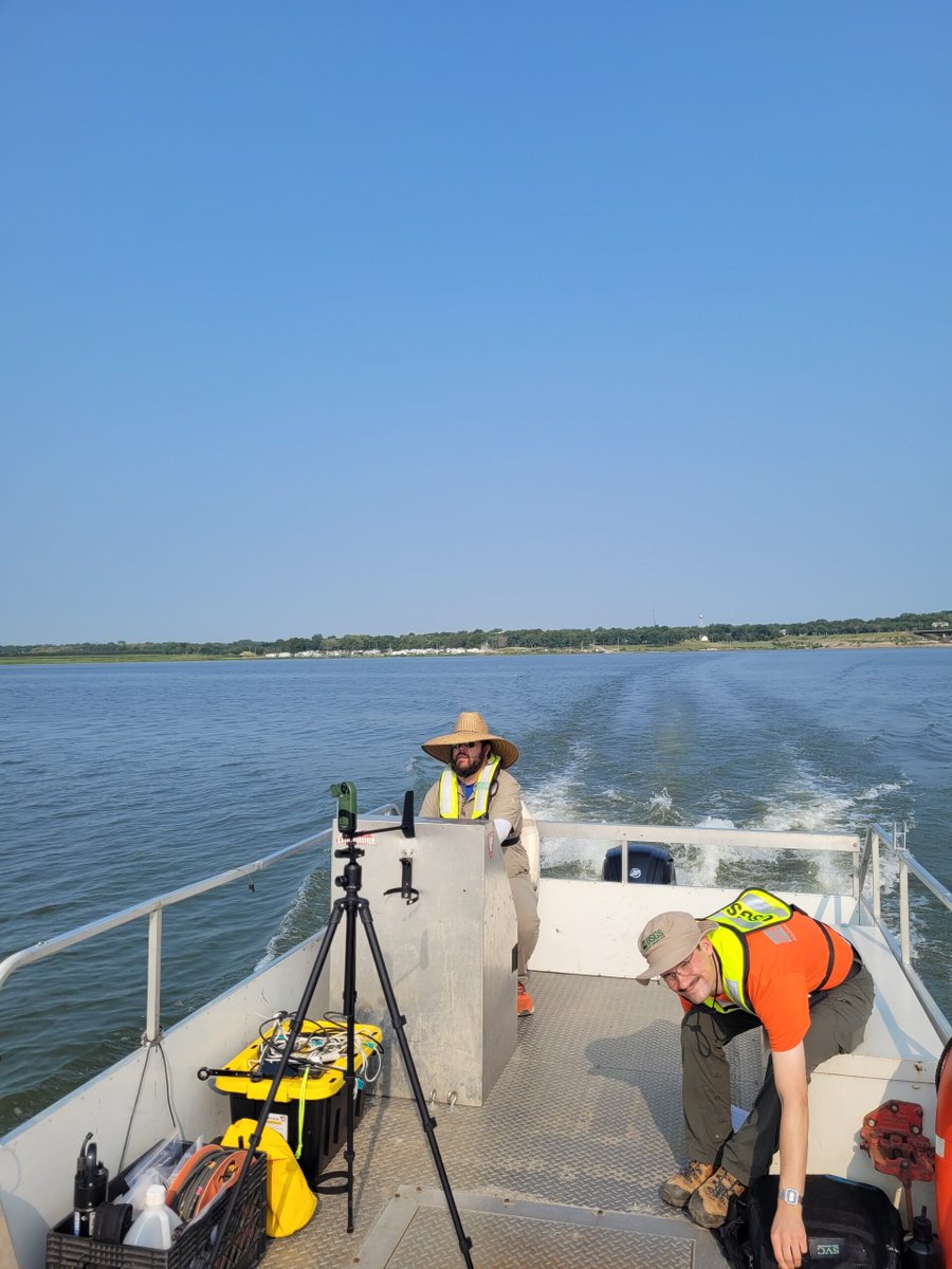
#WaterWednesday Evan, David, and Nick took the pontoon out to Milford Lake to collect a water quality sample. The sample will be analyzed for nutrients, taste & odor compounds, algal toxins, and more! See past data for this site here: ow.ly/9Pk950TPQUl
2
148
5 Nov 2024
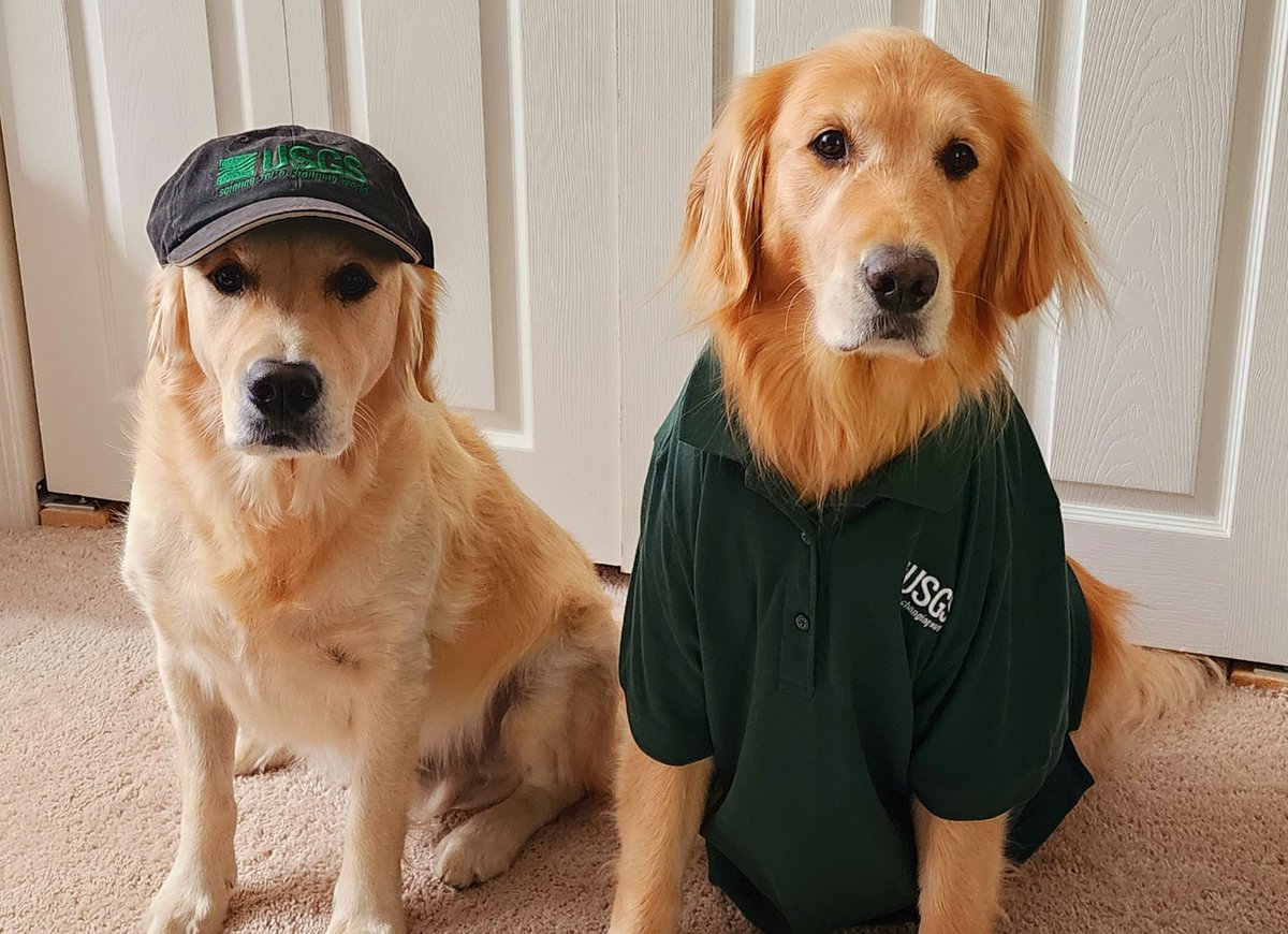
Booker and Maverick, The Golden Floof Monsters, experts in all things soil, sediment, and water related ready to go to work with their "mom", Cara Peterman-Phipps a fluvial geomorphologist/hydrologist with the KSWSC. #FluvialGeomorphology #Hydrology
5
128
4 Nov 2024
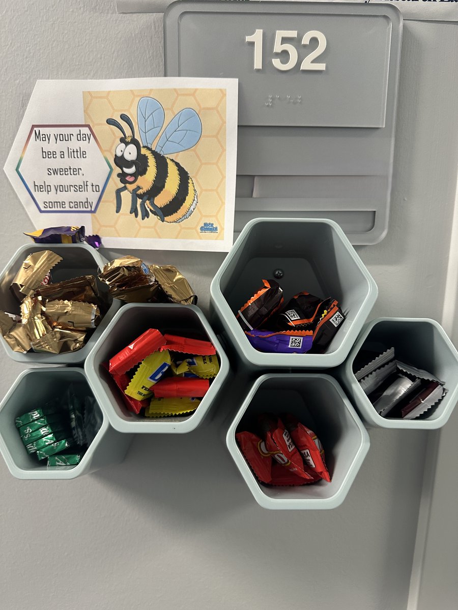
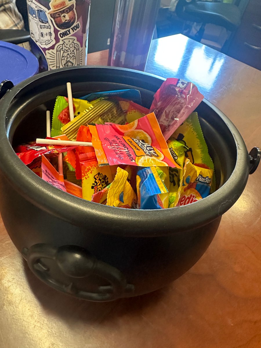
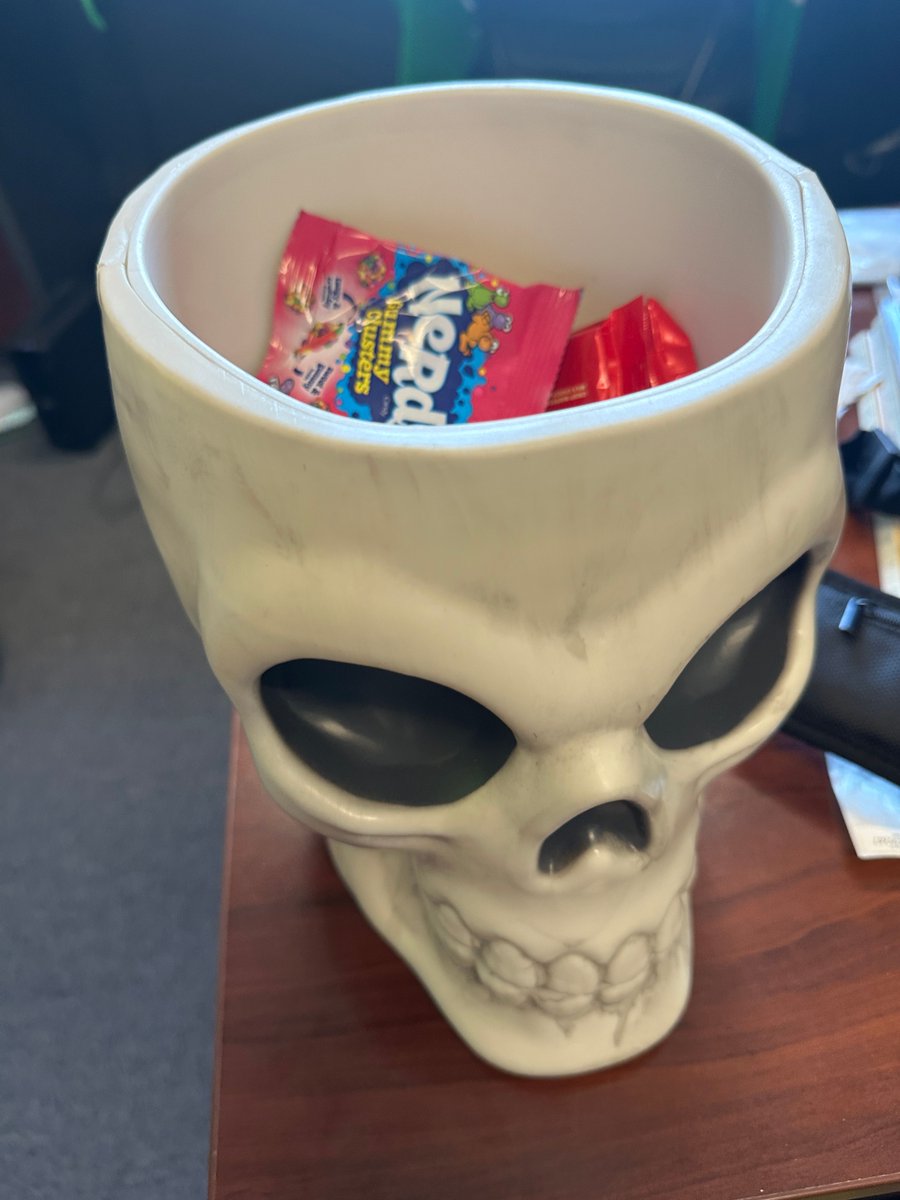
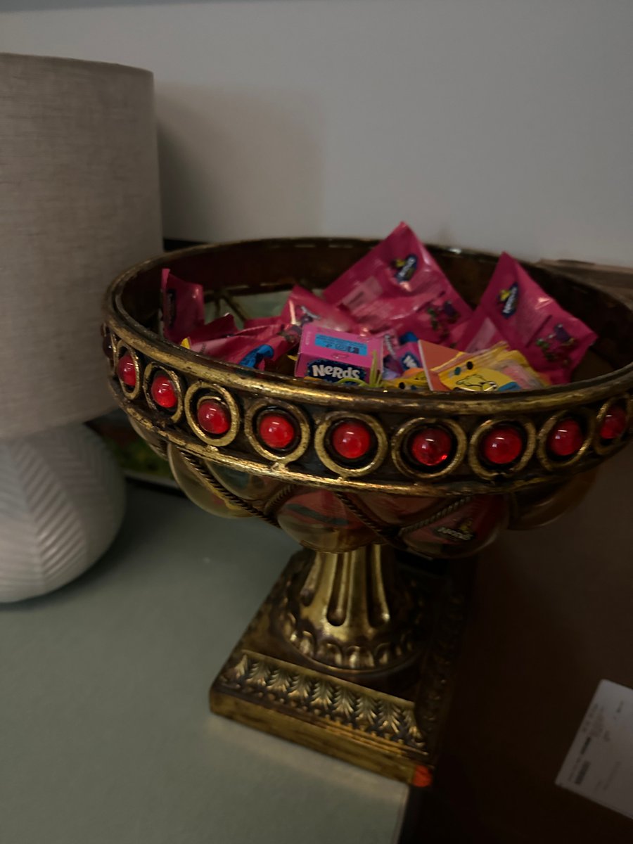
Happy National Candy Day! 🍬🎉There's always a good amount of candy on hand at the KSWSC! What's your favorite candy? #NationalCandyDay
6
106
31 Oct 2024
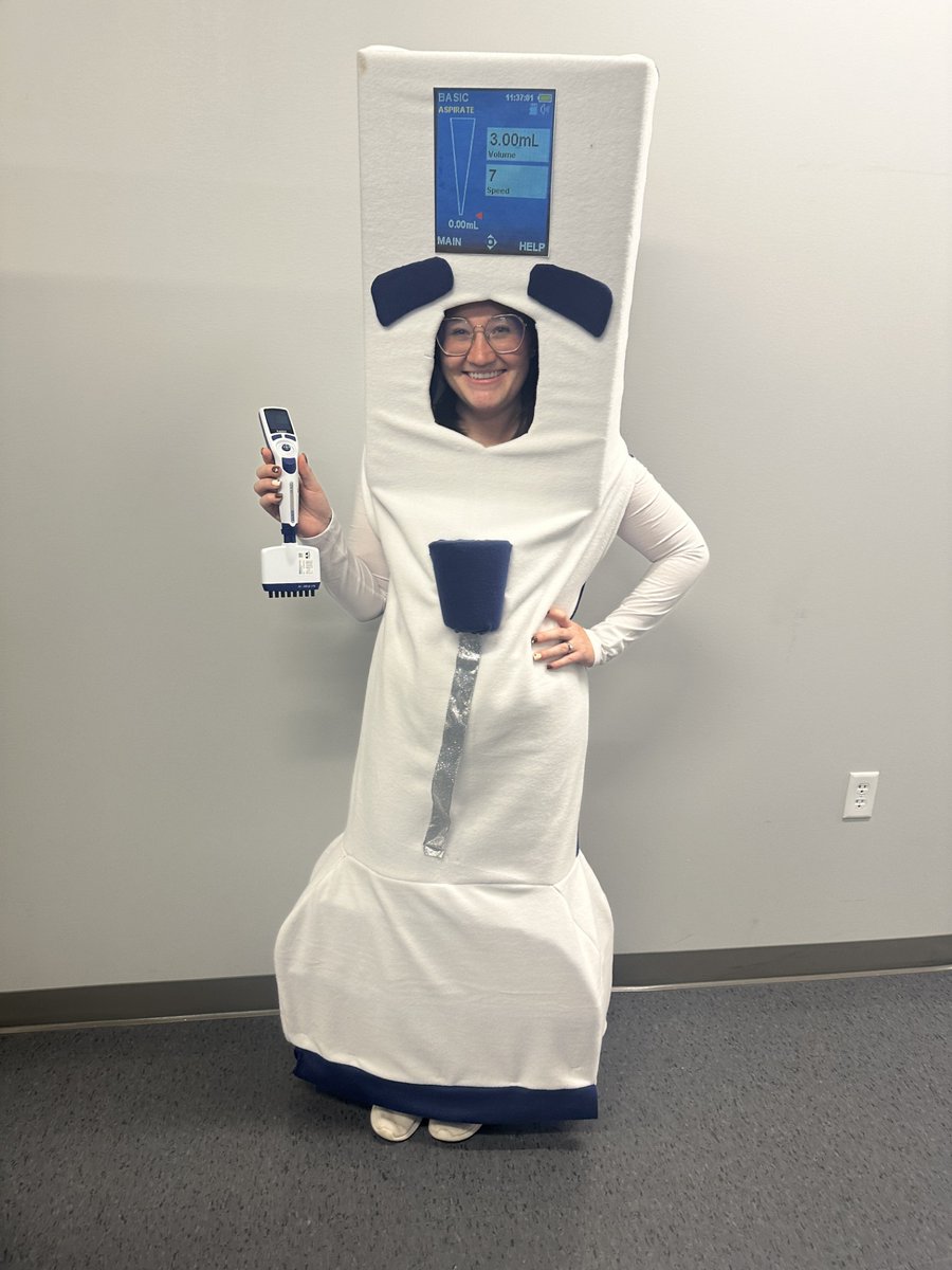
Halloween is the one night a year where a girl can dress like a multichannel pipette and no other girls can say anything about it #costumereveal #meangirls #chemist #rainin #pipette
7
456
30 Oct 2024
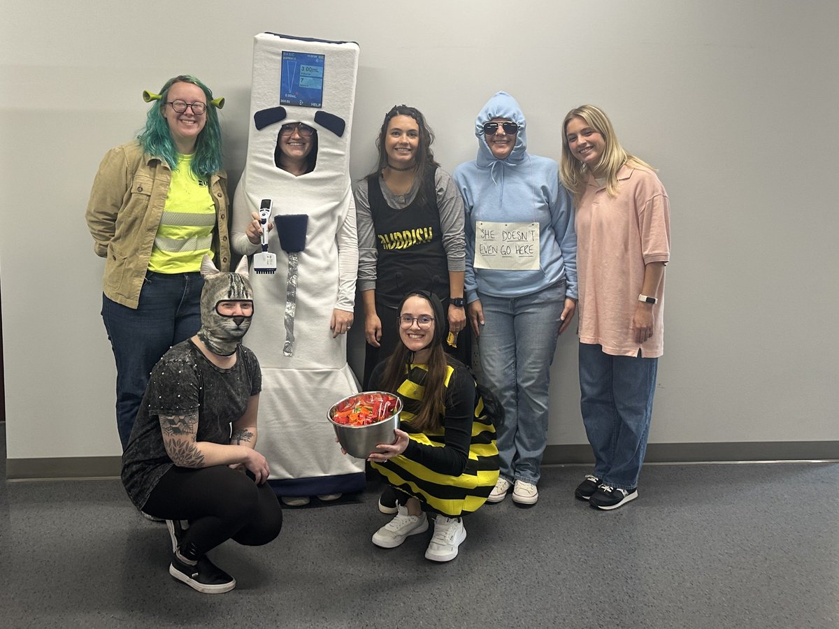
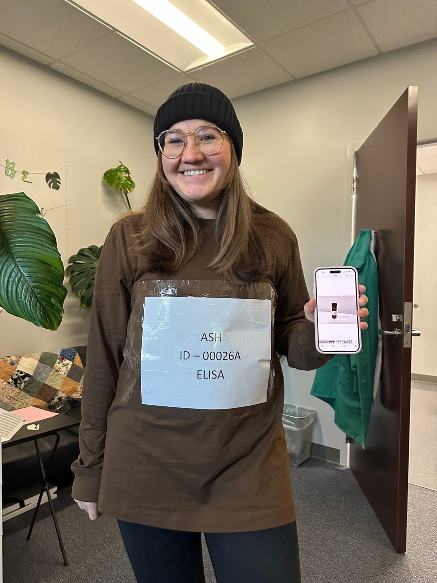
The question on everyone's minds this week, is what will Ashley, a chemist at KSWSC, be for Halloween?
Here's some of her past costumes, an ELISA plate and a vial. Any guesses what she will be tomorrow? Stay tuned. #Halloween #Chemist #CostumeIdeas
8
165
29 Oct 2024
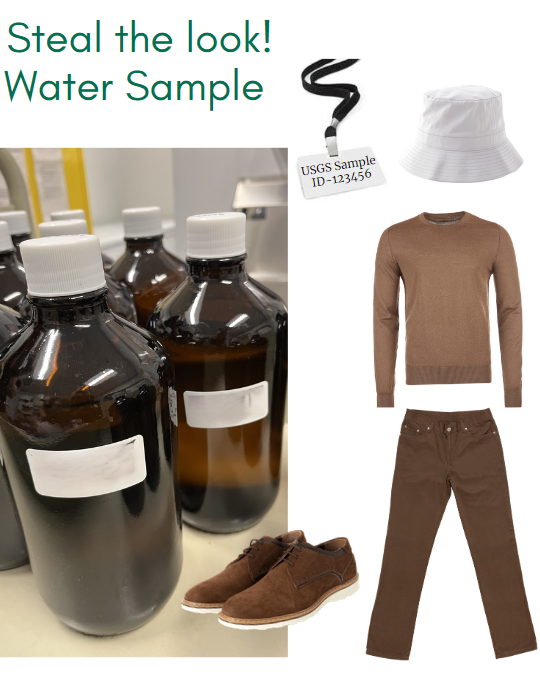
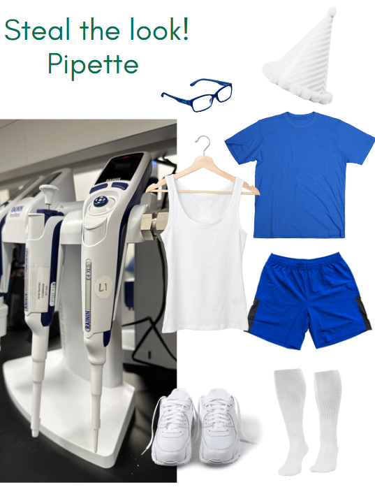
Need a last-minute costume idea? What about a water sample or a pipette? 👻🎃 #halloween #USGS #costumeideas #stealthelook
1
6
217
USGS Kansas retweeted

26 Oct 2024
It’s spooky season! 👻🪦🕸️
Have you carved a pumpkin yet?
If not get inspired with @NOAA or @NatlParkService themed stencils!
🎃 ow.ly/nJTM50TSp3T
🎃 ow.ly/h1Ip50TSp3Q

ALT Illustration showing an orange and tan background with carved pumpkins, bats, a skull, bones, and a burning candle. There is a spiderweb in the upper right corner. Stencil images of a bear and a jellyfish are seen on the image. Orange text reads “Have you carved a pumpkin yet?”
1
6
347
28 Oct 2024
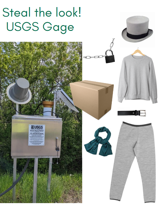
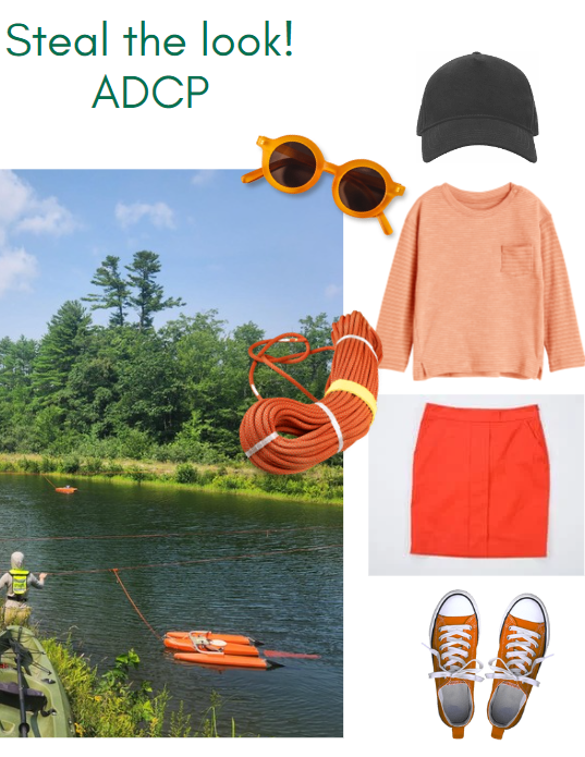
Need a last-minute costume idea? How about a USGS Gage or an ADCP! 👻🎃 #halloween #USGS #costumeideas #stealthelook
1
1
9
241
27 Oct 2024
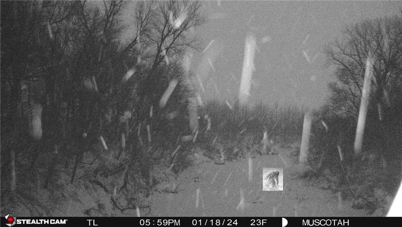
what's that cryptid? #trailcamfinds #spookyseason
Check out this spooky cool data at HIVIS: apps.usgs.gov/hivis/
(it's a pair of turkeys) 🦃
3
138
26 Oct 2024
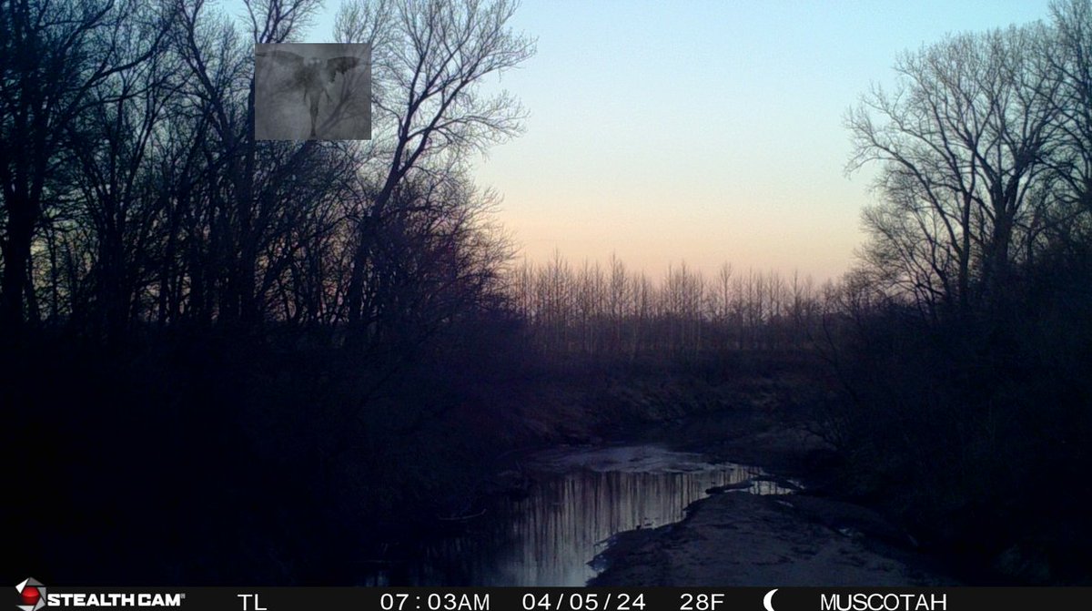
We can't make this up, another find!!!!! 👀 #trailcamfinds #spookyseason
Check out this spooky cool data at HIVIS: apps.usgs.gov/hivis/
(Again, this is 100% made up)
4
103
25 Oct 2024
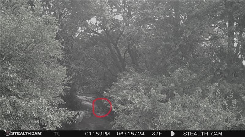
Another unbelievable sighting!!!!! 👀 #trailcamfinds #spookyseason
Check out this spooky cool data at HIVIS: apps.usgs.gov/hivis/
(Seriously this is not real)
4
121
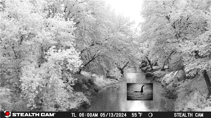
24 Oct 2024
You won't believe what we found on our trail cam!!!!! 👀#trailcamfinds #spookyseason
Check out this spooky cool data at HIVIS: apps.usgs.gov/hivis/
(For legal reasons this is a joke)
1
4
109
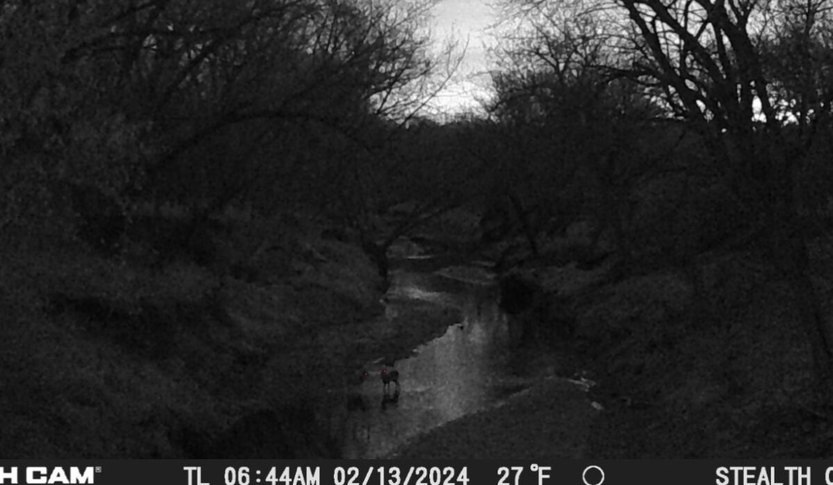
23 Oct 2024
#whatsinthewoods #trailcamfinds #spookyseason
Check out this spooky cool data at HIVIS: apps.usgs.gov/hivis/
(it's just deer) 🦌
6
105
21 Oct 2024
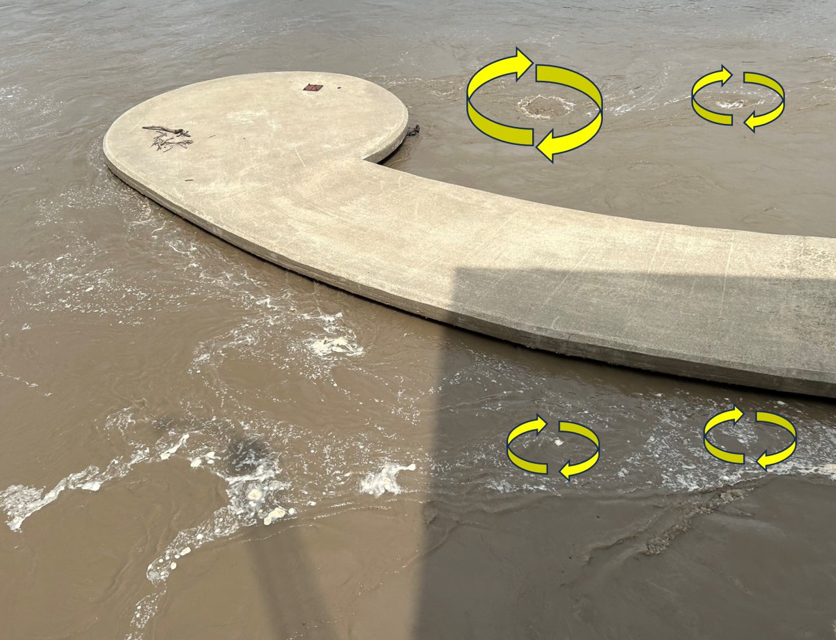
#Eddies are an important water feature to look out for. An eddy is formed when the main flow is blocked (rock, tree, bank, etc) and pushed to one side. The #water in the eddy's backflow can be #dangerous for swimmers or those using small #watercraft. #WaterSafety #StaySafe
8
139