
Sales Manager, Remote Sensing and Imagery at Esri. Delivering the best in image science and management to solve pressing world problems.
Joined April 2009
- Tweets 421
- Following 542
- Followers 250
- Likes 68
48 Photos and videos


9 Jan 2025
In anticipation of the 2025 Imagery Summit at the Esri Federal GIS Conference in February, take a look back with us at the groundbreaking solutions presented by Esri imagery experts and users around the world in 2024! ow.ly/ujY030sJ5FC
35
8 Jan 2025
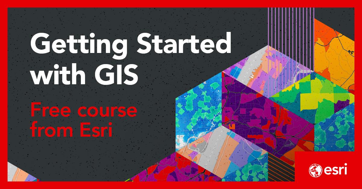
Learn the basics components and fundamental concepts of GIS in this FREE course on Esri Academy: ow.ly/lAT750UAO6F
31
30 Nov 2024
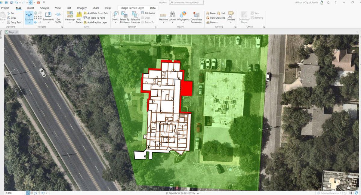
Using 360-degree cameras, laser scanners, and lidar tools, NV5 Geospatial captured detailed data to build #3D models integrated into #ArcGISOnline. This helped @austintexasgov visualize assets, plan renovations, and improve wayfinding.
ow.ly/4VTz50Uh7eO
29
22 Jun 2024
Join Jack Dangermond and other industry experts as they share stories of how GIS is being used to reveal patterns, solve problems, and enrich collaboration across enterprises. ow.ly/niBJ50Skks6 #EsriUC2024
1
32
Beau Legeer retweeted

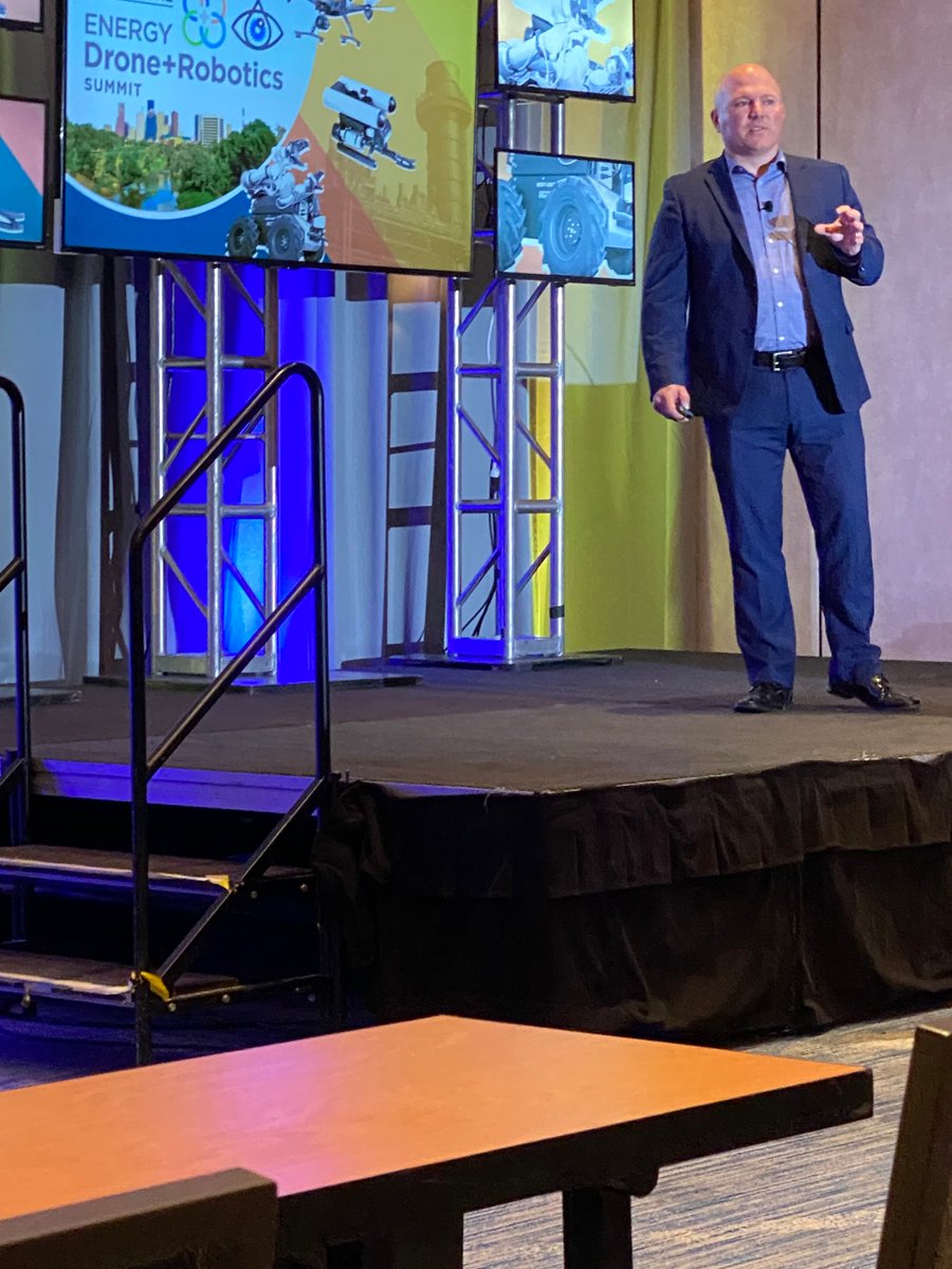
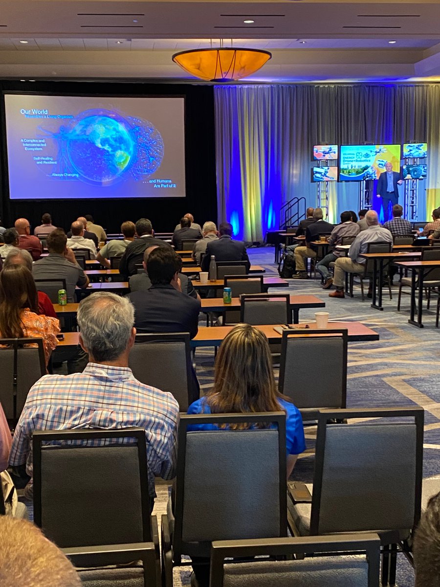
20 Jun 2022
#EDRSummit #Esri Director of Imagery Beau Legeer speaking on Taking your #Drone Program Further - with #ArcGIS Energy DataOps: AI/ML & Digital Twins #GIS #Geospatial #DeepLearning #AI #DigitalTwins
1
1
12 Jul 2021
Amazing work done by Impact Observatory on the new 2020 Land Cover available now in the ArcGIS Living Atlas. #EsriUC @ImpactObserv
1
1
4
Beau Legeer retweeted

19 May 2021
“Donald Trump now under criminal investigation by not one but two prosecutors. New York Attorney General Letitia James making the announcement last night that what started as a civil probe into the Trump Organization, is now a criminal one…” - @NicolleDWallace
77
309
1,803
Beau Legeer retweeted

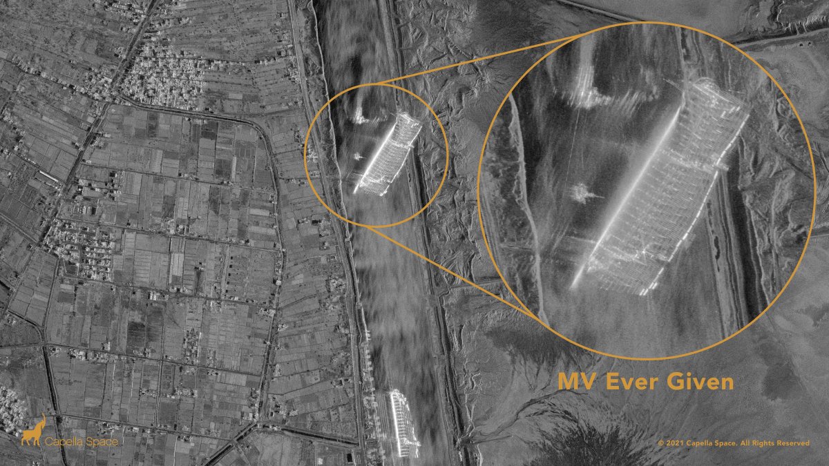
24 Mar 2021
Capella’s #SAR constellation captures the Ever Given container ship blocking the Suez Canal with very high resolution 50 cm imagery as of 9:36am local Egyptian time.
16
146
371
Beau Legeer retweeted

17 Dec 2020
And we're live! The first post for "A Closer Look" just went out. Thanks to everyone that already signed up to receive monthly posts about stuff happening at the intersection of business, technology and mapping.
joemorrison.substack.com/p/e…
6
13
75
Beau Legeer retweeted

13 Oct 2020
You can now work with @planetlabs data in @ArcGISPro & (soon) @ArcGISOnline without downloading to your computer (which I had to do to make these images of flooding in Michigan)—cool demo by @blegeer


5
13
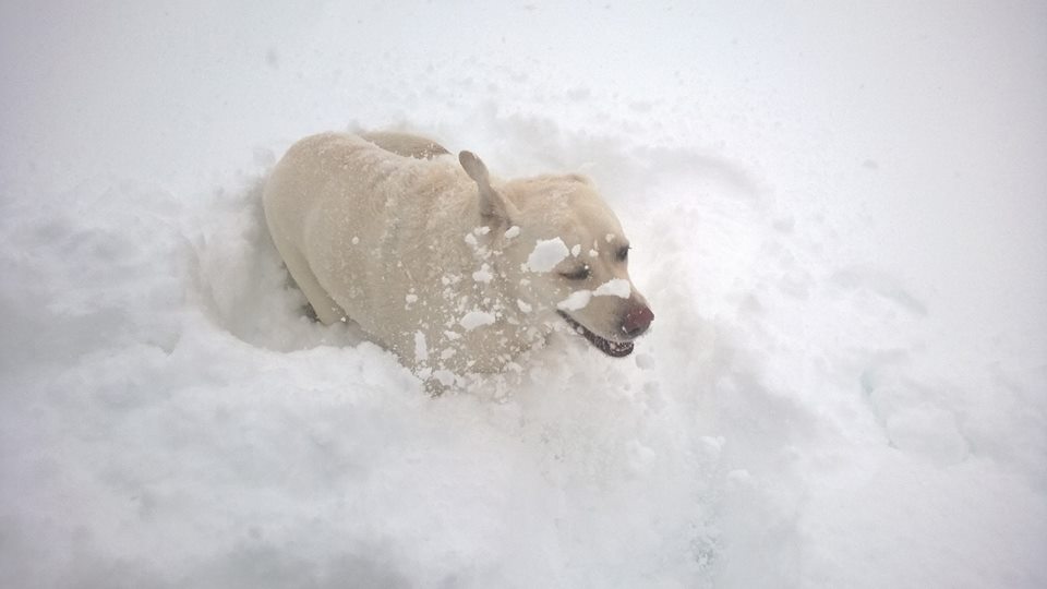
9 Sep 2020
Very early snow makes for wicked views of the Flatirons this afternoon.
2
8 Mar 2020
Innnovation = Empathy. Nice insights from @sandy_carter at her keynote at the #EsriEPC
1
3
14 Aug 2019
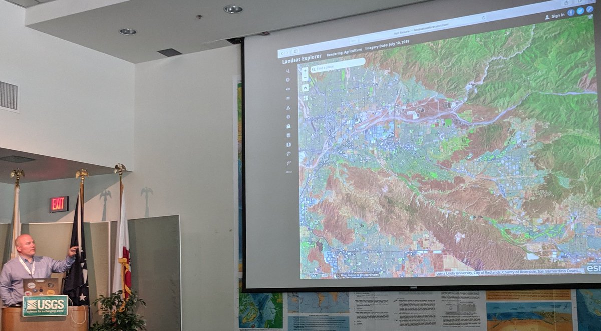
Thanks @asoconnor for the great talk about DESIS from @TeledyneBrown. HSI from space is getting real! #EAS2019
1
8
Beau Legeer retweeted

6 Aug 2019
2
8
Beau Legeer retweeted

6 Aug 2019
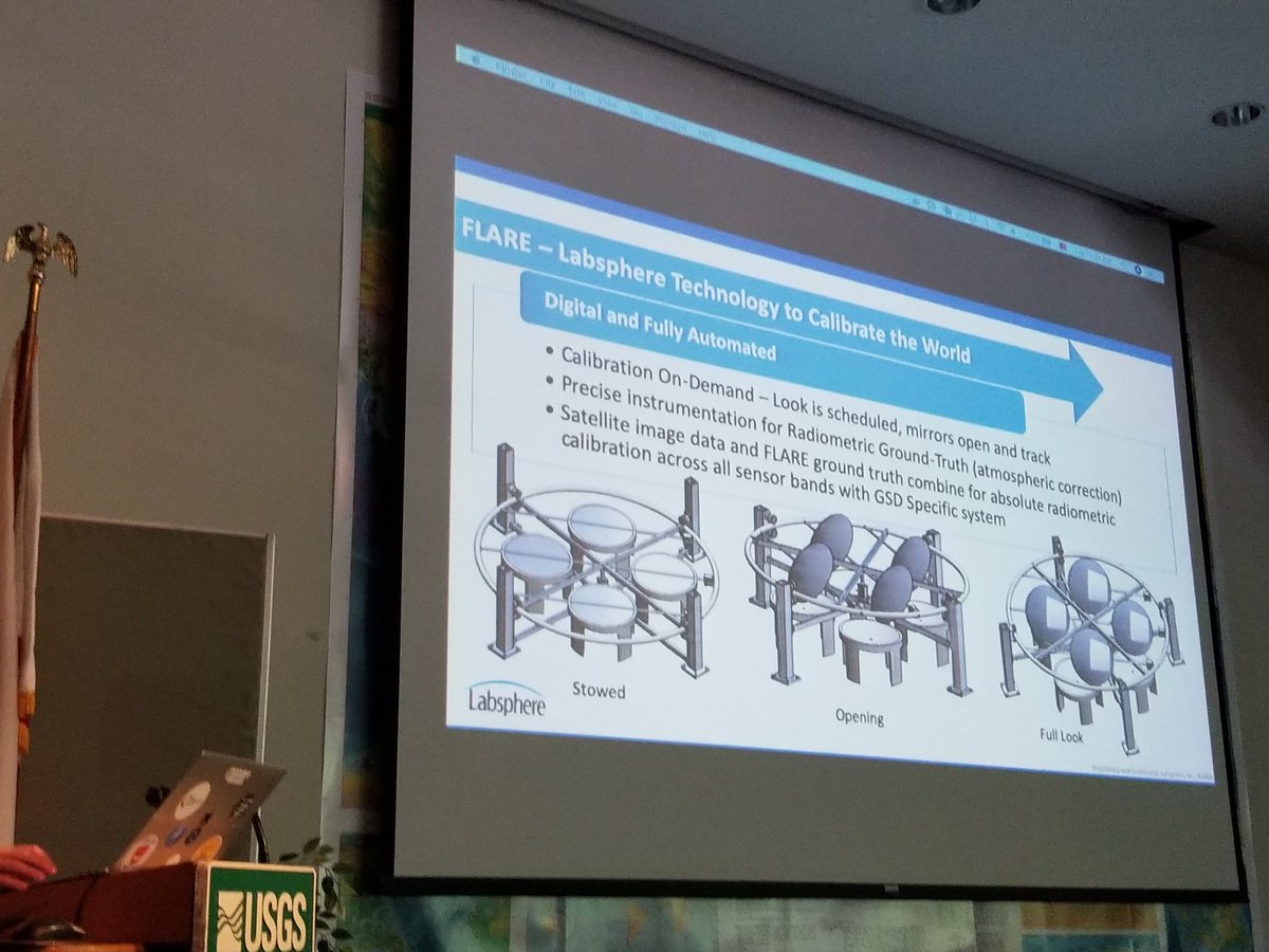
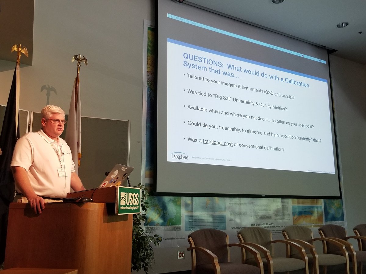
On demand and customized calibration from @Labsphere at #ARD19
Goal: to calibrate the world!
1
2
8 Oct 2018
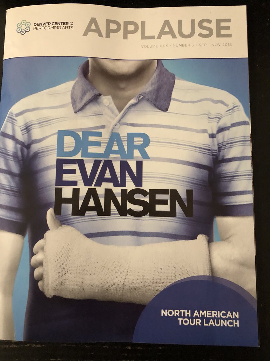
So happy I took my daughter to this great show! Kuddos to the cast and crew of @DearEvanHansen #YouWillBeFound
3
21 Aug 2018
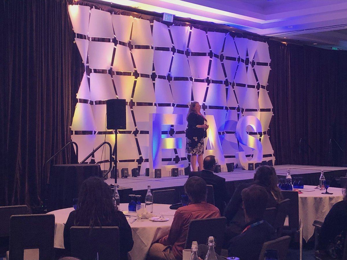
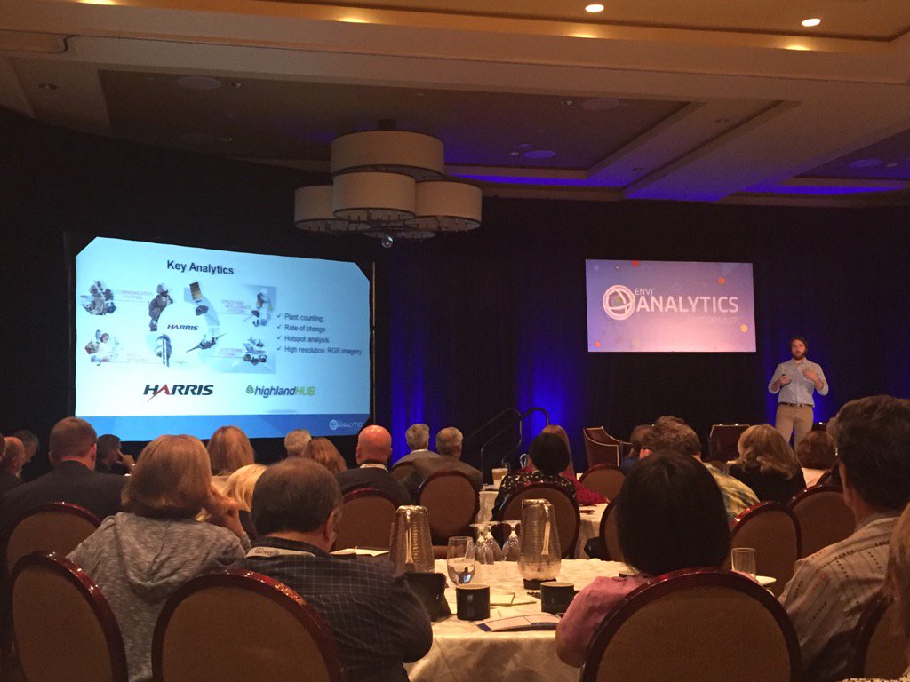
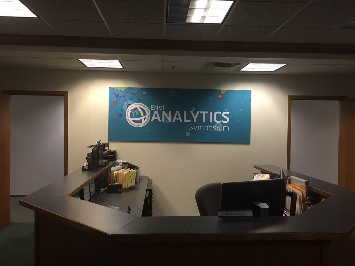
Good luck to all my friends at @GeoByHarris this week at the #EAS2018 Conference. A truly first-class event on the potential of geospatial analytics to solve the next generation of breakthrough problems.
1
1
2
Beau Legeer retweeted

2 Aug 2018
I’ve been a software engineer for 22 years, and it occurred to me today that the most important quality you need for building good apps is “empathy”.
Listen. Learn. Understand. Build.
Repeat.
3
13
60
9 Jul 2018