
Apr 29
I used to be pretty interested in procedural city generation for vfx in film and CityEngine came up in my research a lot. It was very cool but seemed geared towards architectural visualization rather than vfx and I never had the time or resources to actually use CityEngine though I would have liked to have tried it.
Keep us posted on your progress!
2
104
Apr 29
Awesome! Have you ever seen CityEngine? Could be good inspiration.
1
3
1,475

If you haven’t heard, #ArcGISUrban, #CityEngine, and all the tools planning departments need are now bundled into one user type, Professional Plus.
See what this means for your team ➡️ ow.ly/v4ce50YP7sr

1
7
416

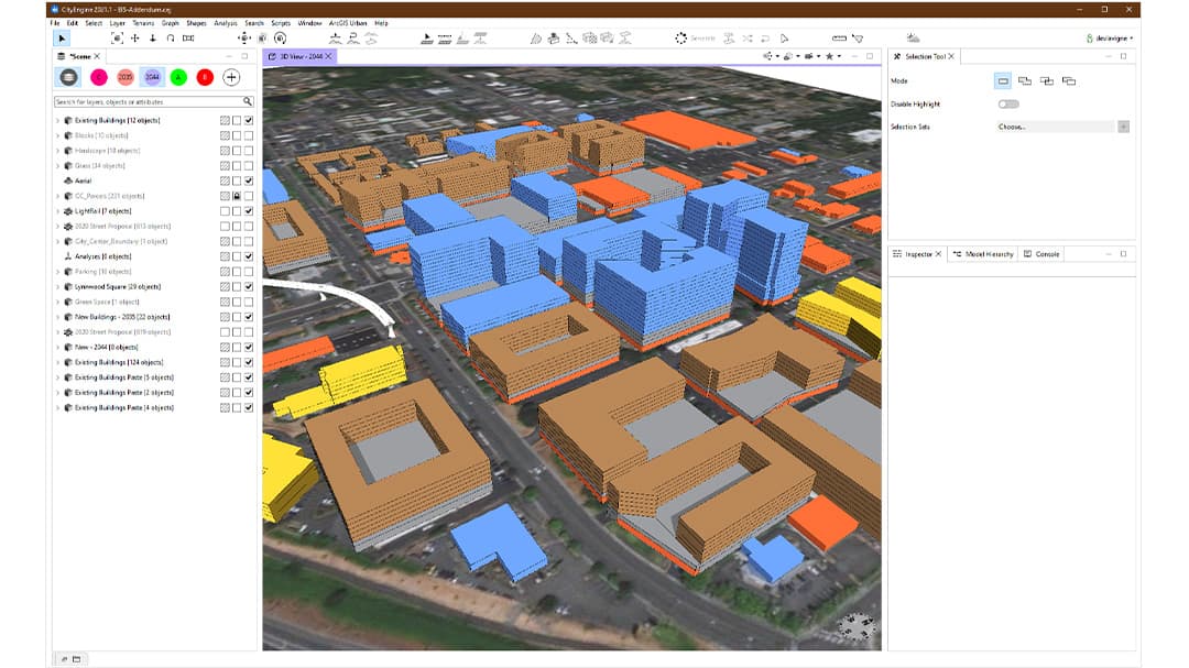
Multi software urban design workflow.
Starting with AutoCAD for drafting and block modeling, integrating spatial attributes in ArcGIS pro then exporting into CityEngine for cga code, 3D generation, and realistic urban visualization.
3
134

Esri's CityEngine 2025.1 is out, introducing new CGA geometry modifications, Visual CGA facade components, and Python 3 in beta.
Details: 80.lv/articles/esri-launched…
2
16
136
16,422

8 Dec 2025
CityEngine 2025.1 is out
Check out the new features in the procedural city generation software, including new options for generating more complex forms for buildings
cgchannel.com/2025/12/esri-r…
#CityEngine #VFX #animation @Esri
4
82
866
91,575

5 Nov 2025
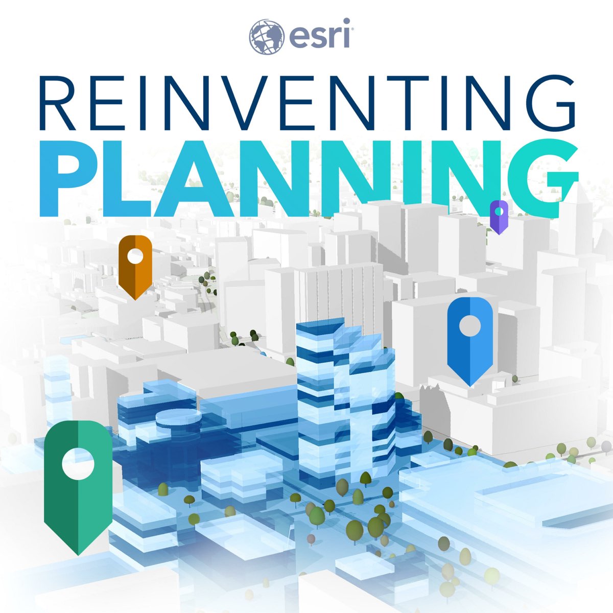
Have you heard the Reinventing Planning podcast? 🎧 Sit down with planners using ArcGIS Urban and CityEngine to see how they’re reinventing planning in their communities with the latest tech and data-driven tools. 🏙️ ow.ly/5OTy50XlOlm
1
2
42
24 Sep 2025
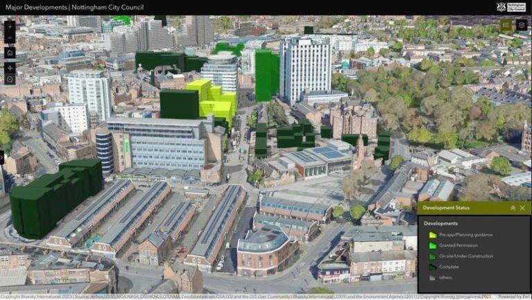
"ArcGIS Urban and CityEngine allow us to transform abstract design ideas into a format that resonates with our community." — Rachel Nettles, City of Mesa
See how these tools help the city bring their plans to life: ow.ly/X58050WWU8C
1
2
248

19 Jul 2025
Learn how to import BIM & CAD projects, integrate with ArcGIS CityEngine, & create immersive urban experiences using the Urban XR add-in. Join us to explore the latest tools & success stories that are revolutionizing urban planning & design.
Add here➡️ow.ly/cPVc30sNZxg
1
1
2
98

7 Jul 2025
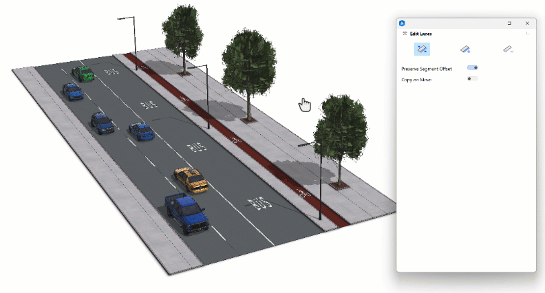
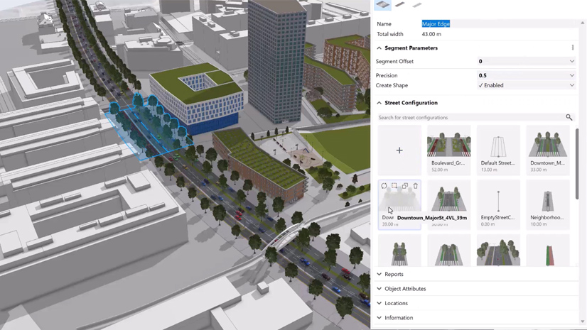
Introducing ArcGIS CityEngine 2025.0! This release brings enhanced Street Designer capabilities, CGA enhancements, and improved user experience. Create multimodal streets, simplify CGA rules, and visualize with improved rendering #ArcGIS #CityEngine #GIS ow.ly/Uzkg50WlNWP
1
3
335
27 Jun 2025
CityEngine 2025.0 is out
Check out the new features in Esri's heavyweight procedural 3D city generation software, including this Street Designer system for creating complex road set-ups
cgchannel.com/2025/06/esri-r…
#CityEngine #archviz #VFX #animation @CityEngine
2
12
85
5,228

19 Jun 2025
Curious about Visual CGA in #CityEngine? Get a quick introduction to this powerful tool for procedural modeling and rule-based design in 3D cityscapes. 🏙️⚙️📺 Watch now: ow.ly/QT1O50W6mNK
#3DModeling #ProceduralDesign #ArcGIS

1
1
3
266

12 May 2025
AI apps lyk #CITYENGINE, #TESTFIT, #URBANISTAI etc can be used to map out areas of Enugu with clusters where such can be sited.
1, Gas-powered kitchens.
2, Farm-to-foodcourts link.
3, Hygiene, training&jobs.
4, More revenue for govt.
Make Enugu the top city in Africa!
4
105
3 May 2025
@EnuguEctda is run by outdated civil servants awaiting retirement.
If not, there are AI apps lyk #ARCHITECHTURES, #CITYENGINE, #CITYPLAIN, #ArcGIS etc that can be used to gentrify that CBD&upgrade it.
Even tree/flower planting is hard for them.
@Onyia1
@PNMbah
@AdenikeOkebu
1
2
158

We'll be co-presenting in the FMX workshop of our friends of @CityEngine!
Hear & see cool news in the realm of "Next-Gen #Procedural #City #Design"! 🚀
fmx.de/en/program/program-20…
@FMX_Conference @iceconference @dtarolli @TaishaRiccara @procedural
#VFX #games #FMX2025 #3d #3dcity

3
66
#fmx2025 is coming up!
Can't wait to meet up again with y'all! 🤩
@FMX_Conference @iceconference @CityEngine @sidefx @chaosgroup
#vfx #games #3d #3dcity #procedural #virtualproduction #rendering
1
2
98
11 Apr 2025
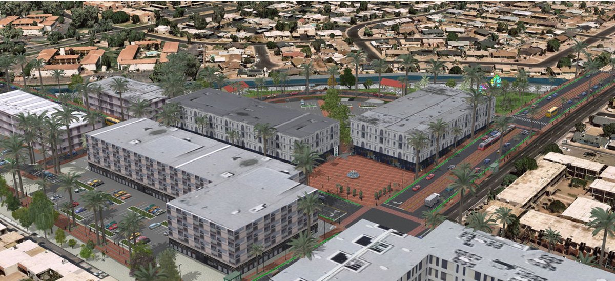
🏗️ The City of Lynnwood, WA is using CityEngine to visualize new developments in 3D, assess impacts, and streamline planning decisions. See how 3D GIS is shaping smarter growth: 👉 ow.ly/pKAS50Vyyhh
1
3
170
9 Apr 2025
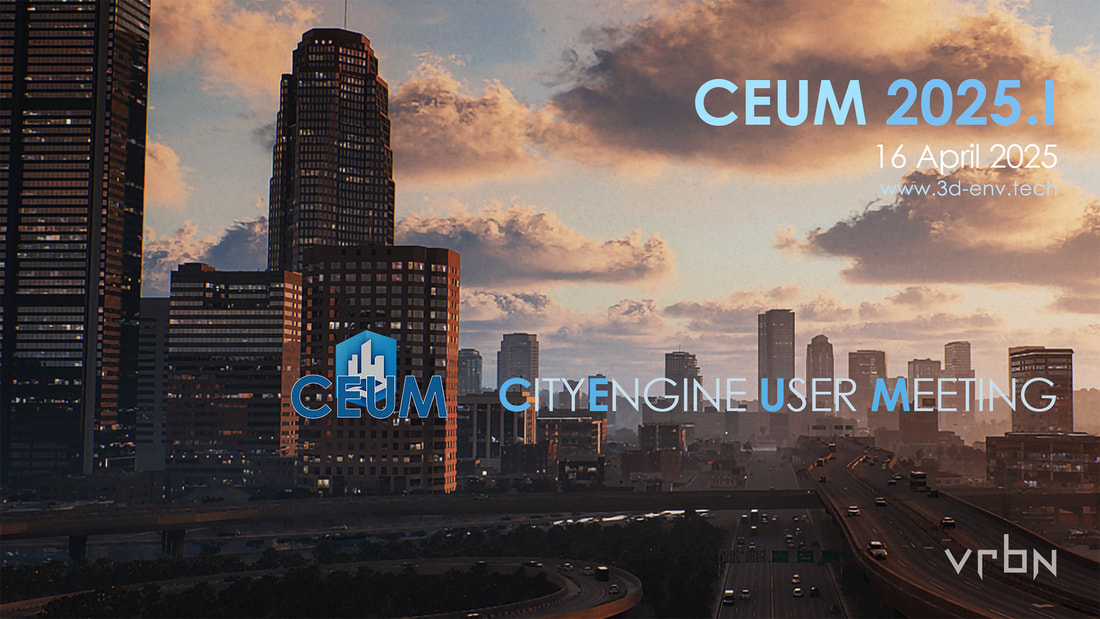
🎤 Call for Presentations: CEUM - CityEngine User Meeting. 🗓️ Join us on April 16, 5 - 8:30 PM CEST (8 AM PDT/11 AM EDT). Share your work with a community of CityEngine users by presenting your urban design work! Learn more: ow.ly/CZFA50VxyCa
1
2
143

17 Mar 2025
ArcGIS integrates AI tools like GeoAI and CityEngine to supercharge urban planning workflows. GeoAI automates spatial data extraction, prediction, and analysis, while CityEngine enables planners to create 3D models, simulate zoning compliance, and optimize designs for sustainability—all without needing a PhD in cartography.
In short, ArcGIS turns urban planning into a high-tech sandbox where AI does the heavy lifting, and planners get to feel like digital city gods tweaking zoning laws and green spaces at will.
30