
May 29
Most GIS training is built on datasets and workflows from abroad. None of that prepares you for working with African spatial data.
You learn to work with clean, complete, well-documented data. Then you get to a Kenyan county project and discover the boundary files are from 2015, the infrastructure data does not exist, and nobody agrees on the coordinate reference system.
Orion Academy is built for this reality.
Practical, Africa-focused geospatial training — for professionals who need to apply spatial data in their work, not just study it in a classroom.
What makes it different:
✅ Hands-on with real African datasets — the actual data environments you will work in
✅ Workflows designed for how African organisations actually operate
✅ Taught by practitioners who have delivered multiple projects across Kenya, Somalia, Somaliland, and Zimbabwe
✅ Applicable immediately — not academic
Who it is for: GIS analysts, surveyors, urban planners, M&E specialists, environmental scientists, and any professional who works with spatial data.
Online and in-person formats available.
🔗 orionterrametrics.co.ke/cour…
Tag someone who needs practical GIS training for African contexts.
#GISTraining #AfricaGIS #OrionAcademy #ProfessionalDevelopment #GIS #Kenya #Geospatial #EastAfrica
1
8
47
1,710

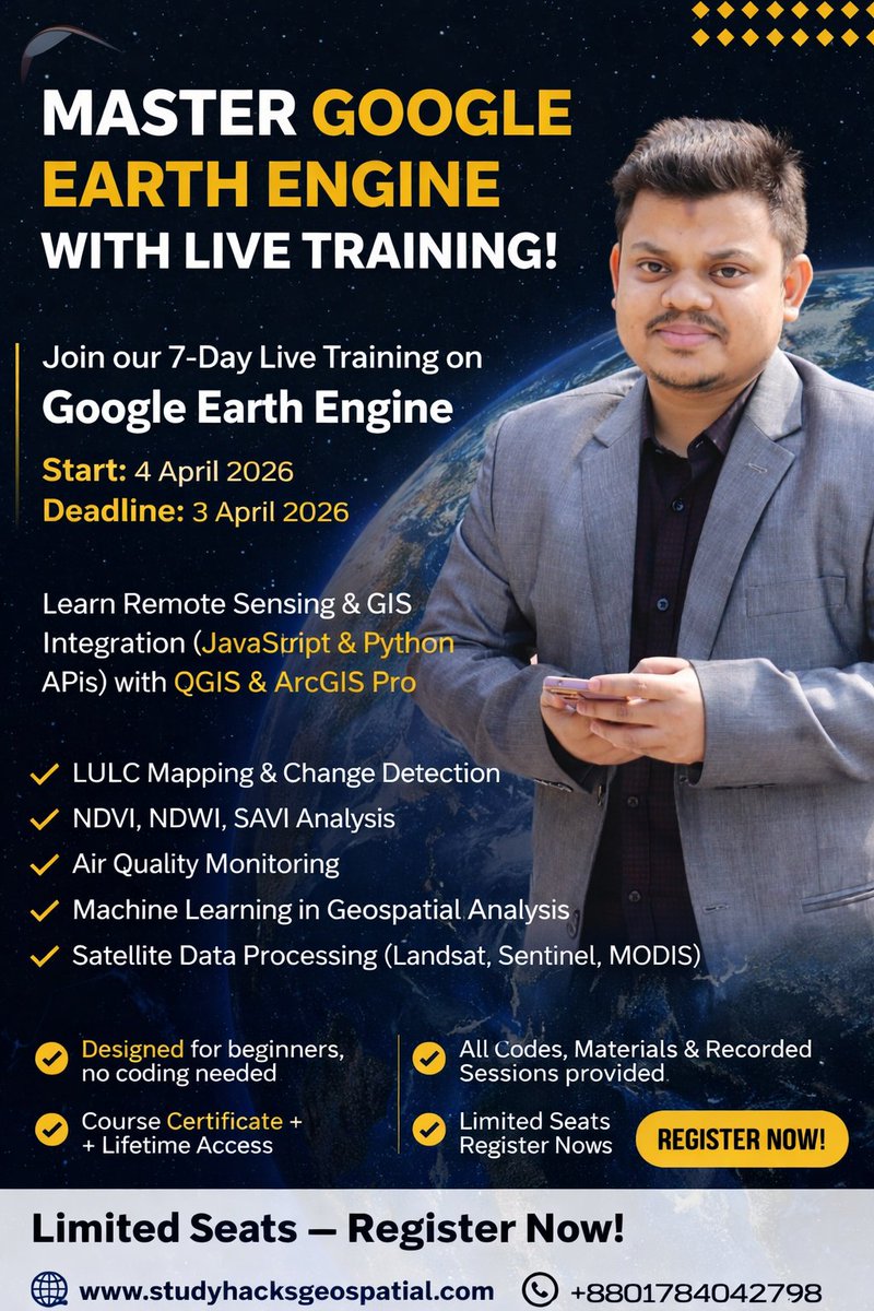
Registration link: studyhacksgeospatial.com/pro…
For Re gistration, Contact this Email: rmijanur10266@gmail.com#MachineLearning
Or WhatsApp 24/7: 8801780942798
#GoogleEarthEngine #RemoteSensing #GIS #Geospatial #EarthObservation #SatelliteImagery #GISTraining #QGIS

1
1
5
250

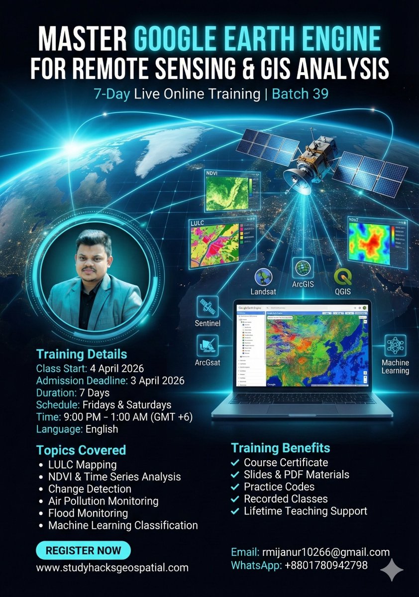
🚀 Master Google Earth Engine for Remote Sensing & GIS Analysis – Join the 39th Batch!
Registration Link: studyhacksgeospatial.com/pro…
#googleearthengine #remotesensing #GIS #Geospatial #satellitedata #EarthObservation #SpatialAnalysis #GISTraining #geek #ArcGIS #QGIS
7
365
How to Become a Google Earth Engine Expert? Join Our Online Training Program! 🚀
Registration link: studyhacksgeospatial.com/pro…
#GoogleEarthEngine
#GIS
#RemoteSensing
#ArcGISPro
#QGIS
#Geospatial
#SatelliteImagery
#EarthObservation
#GIStraining
#SpatialAnalysis
2
2
271

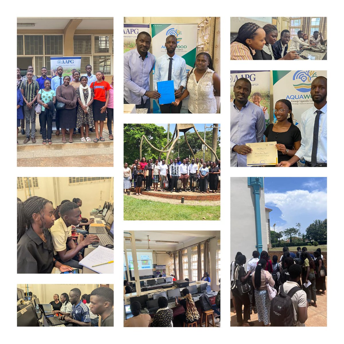
The AAPG Makerere University Chapter just wrapped up an epic 2-week GIS Training powered by the incredible team at Aquawood Group Uganda Limited.
#AAPG#MakerereUniversity #GISTraining#AquawoodGroup
2
6
272

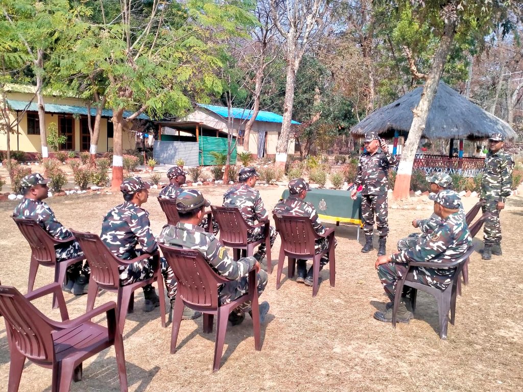
SSB 09वीं वाहिनी की सीमा चौकी में जवानों के बीच GIS क्लास आयोजित — अब हर नक्शा, हर लोकेशन पर सटीक नजर!
तकनीक से मजबूत होती सीमा सुरक्षा।
स्मार्ट जवान, सुरक्षित सीमा!
#SSB_INDIA
#SSBFTRLUCKNOW
#SSBSHQGKP
#GISTraining #SeemaSuraksha #SmartBorder #DigitalWarriors
4
49
96
288

Here at Geoinfo Academy, we don't just give you a certificate; we make you employable.
Enrollment closes soon! Secure your spot now!
#qgi̇s #gistraining #arcgis #dronetraining #remotesensing
1
1
3
56
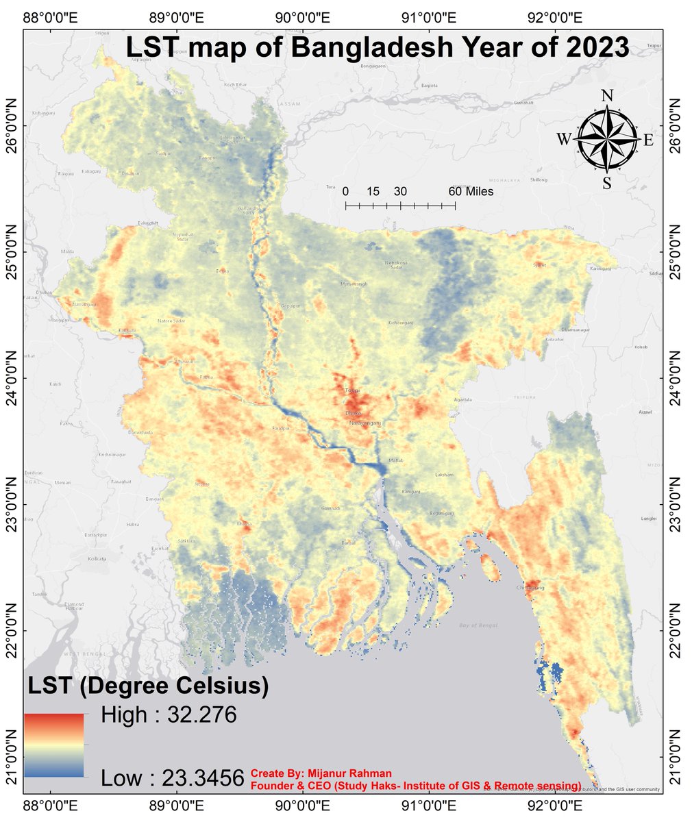
🔥 Can YOU Create a LST Map Like This? 🌡️🇧🇩
Registration info: studyhacksgeospatial.com/goo…
#GoogleEarthEngine #RemoteSensing #GIStraining #ClimateAnalysis #LST #UrbanHeatIsland #MachineLearning #SpatialAnalysis #Geospatial #EnvironmentalScience #StudyHacks #GISRSInstitute
1
19
748
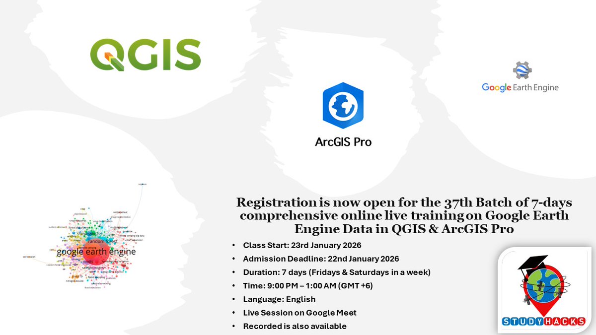
Join our upcoming online live training program starting on 23rd January 2026, where you will gain hands-on experience in using cloud-based geospatial processing #GEE with #QGIS #ArcGISPro
Join Link: studyhacksgeospatial.com/goo…
#GIS
#RemoteSensing
#GoogleEarthEngine
#GISTraining
2
15
802
How to Filter Seasonal Satellite Images in Google Earth Engine (Step-by-Step Tutorial)
Tutorial Link: youtu.be/RaFZYdCe_CQ
For more information about registration, visit our website: studyhacksgeospatial.com/goo…
#GIS #RemoteSensing #GoogleEarthEngine #Geospatial #GISTraining

1
3
33
926


6 Nov 2025
Ready to enhance your geospatial skills?
Join our upcoming course: Spatial Tools for Planning and Managing Areas to Reduce Biodiversity Loss, designed to equip you with hands-on knowledge in using ArcGIS Online, Dashboards, StoryMaps, Hubs, and Instant Apps to support Target 1 of the Global Biodiversity Framework.
Date: 14–28 November 2025
Delivery: Virtual
Price: $69
Secure your spot today and take part in Africa’s growing movement for biodiversity data and planning excellence.
Scan the QR code or visit rcoe.rcmrd.org to register.
#RCoE #RCMRD #Biodiversity #SpatialTools #GISTraining #GlobalBiodiversityFramework #SustainableAfrica
1
2
142

At 𝐑𝐂𝐓𝐈, we shape geospatial innovators — equipping you with 𝐩𝐫𝐚𝐜𝐭𝐢𝐜𝐚𝐥 𝐆𝐈𝐒 𝐬𝐤𝐢𝐥𝐥𝐬 to excel in today's dynamic geospatial industry. 🌍
Learn with cutting-edge software and expert mentors at the region’s Premier Centre of Excellence in GIS Training.
𝐉𝐚𝐧𝐮𝐚𝐫𝐲 𝐈𝐧𝐭𝐚𝐤𝐞 𝐎𝐧𝐠𝐨𝐢𝐧𝐠 — 𝐀𝐩𝐩𝐥𝐲 𝐍𝐨𝐰!
📧 rcti@rcmrd.org | 📱 254 101 777 778
#RCTI #GIStraining #MapYourFuture
1
4
138
At 𝐑𝐂𝐓𝐈, we deliver excellence in GIS training — empowering you with the skills, tools, and confidence to thrive in the geospatial industry.
With cutting-edge software, expert instructors, and hands-on learning, 𝐑𝐂𝐓𝐈 remains the premier centre for GIS training in the region.
📢 𝐉𝐚𝐧𝐮𝐚𝐫𝐲 𝐈𝐧𝐭𝐚𝐤𝐞 𝐎𝐧𝐠𝐨𝐢𝐧𝐠 – 𝐀𝐩𝐩𝐥𝐲 𝐍𝐨𝐰!
📧 rcti@rcmrd.org | 📞 254 101 777 778
#GIStraining #RCTI #MapYourFuture
1
5
298
The demand for geospatial skills is growing worldwide, and this is your opportunity to stand out!
At Geoinfo Academy, we provide professional, industry-relevant training in:
✅ Drone Pilot Training
✅ GIS Training
✅ AutoCAD for Surveying & Mapping
✅ Differential GPS/GNSS RTK
✅ Remote Sensing & Google Earth Engine
Our courses are designed to equip students, professionals, and organizations
👉 Contact us today: 07070708909
🌐 geoinfoacademy.com
#GeospatialSkills #GISTraining #DronePilot #AutoCADMapping #RemoteSensing #GeoinfoAcademy #ProfessionalTraining

6
101
Join our Exclusive Masterclass training starting today, as we will be equipping students, professionals, and researchers with hands-on, industry-relevant training in:
• Drone Technology
• GIS (Geographic Information System)
• AutoCAD (For Surveying and Mapping)
• Differential GPS/GNSS RTK
Training starts today, 25th September, 2025.
Location: Ikeja, Lagos and Herbert Macaulay Way, Abuja, Nigeria.
Call/WhatsApp: 234 707 070 8909
🌐geoinfoacademy.com
#GIS #DroneMapping #AutoCAD #DGPS #Geoacademy #GeoinfoAcademy #Techskills #GISTraining #GeospatialTraining #GNSSRTK #AutoCAD #SpatialAnalysis #Surveying #RemoteSensing
6
58
Thanks for tuning in to our Live Webinar: From Code to Map!
We had an amazing discussion on how developers and GIS professionals can work together more effectively.
If you missed the webinar: x.com/GeoinfoAcademy/status/…
Stay connected with us on our social network for more insightful content!
#geoinfoacademy #GIS #Developers #Collaboration #dronepilottraining #GIStraining #Autocadtraining #DifferentialGPS


When software development meets GIS, the way we analyze, visualize, and interact with spatial data changes completely. Developers bring the code, GIS experts bring the spatial insight and together, they drive powerful solutions. x.com/i/broadcasts/1RDGlABNm…
1
7
113
Welcome to September! New month, New mindset, new goals, and new growth.
At Goeinfo Academy, we’re starting this month strong, with more value, more learning, and more wins for YOU.
Let’s make every day in September count. 📚🔥
#HappyNewMonth #GoeinfoAcademy #OnlineLearning #NewMonthNewMe #landsurvey #GIStraining MondayMotivation Happy New Month

5
37