
ALT The cover of the book "Four Points of the Compass: The Unexpected History of Direction" which shows a colorful compass rose over a blue map. (Photo Credit: Amazon and Wallpaper Delight)
ALT An aerial image with an overlay of the gridded Public Land Survey System. (Photo Credit: Esri and the Bureau of Land Management)

ALT The cover of the book "Invisible Lines: Boundaries and Belts That Define the World" which shows deer on a white patch of ground refusing to cross over into a red patch. (Photo Credit: Amazon)
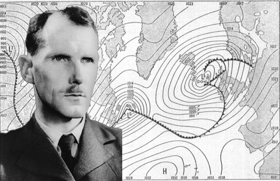
ALT A collage showing Group Captian J. M. Stagg, weather advisor to General Eisenhow and the SHAEF headquarters against a map of the June 4, 1944 weather map of the Atlantic Ocean. (Photo Credits: Photo of Stagg from Wikimedia Commons and image of the weather map from "Forecast for Overlord" Ian Allen Ltd., London; collage by the Army Geospatial Center)

ALT A drawing of a tripod with a surveying instrument with the publication title "The Nation Builders: A Sesquicentennial History of the Corps of Topographical Engineers, 1838-1863" (Drawing Credit: U.S. Army Corps of Engineers)

ALT The cover of the book "Military Geography for Professionals and the Public." It shows a Soldier holding a map while a nearby Soldier holds an antenna up in the air. A helicopter is flying in the distance over a body of water.
ALT Book cover with the title "Culture General Guidebook for Military Professions" in white on a black background with an image of the earth. (Photo Credit: USMC)
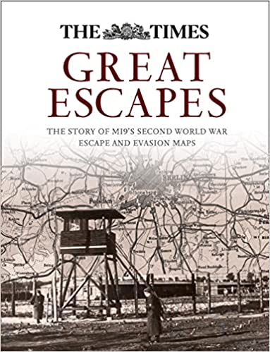
ALT The cover of the book "Great Escapes: The Story of MI9's Second World War Escape and Evasion Maps" showing a collage of a prisoner of war camp tower in the foreground blended with an escape and evasion map in the background. (Photo Credit: Amazon)

ALT A black profile of a head, with the brain area filled with a topographic map consisting mostly of brown contour lines around a mountain. The background is a green-yellow color. (Photo Credit: Head, the Noun Project; map, U.S. Geological Survey, image composed by the Army Geospatial Center)

ALT A Marine in camouflage types on a laptop on a concrete wall, while another Marine with binoculars looks in the distance. There is a GPS device, a notebook, and a satchel in the foreground. (Photo Credit: Cpl. Miguel Rosales, U.S. Marines Corps; modified by the Army Geospatial Center)
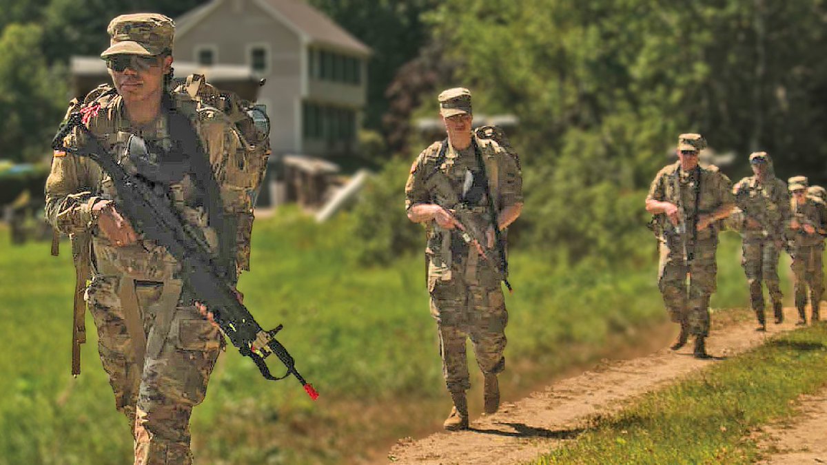
ALT Five Soldiers wearing backpacks and holding guns walk on a dirt track. There is a house and woods in the background. (Photo Credit: Staff Sgt. Ray Boyington, 362nd Mobile Public Affairs Detachment; modified by the Army Geospatial Center)

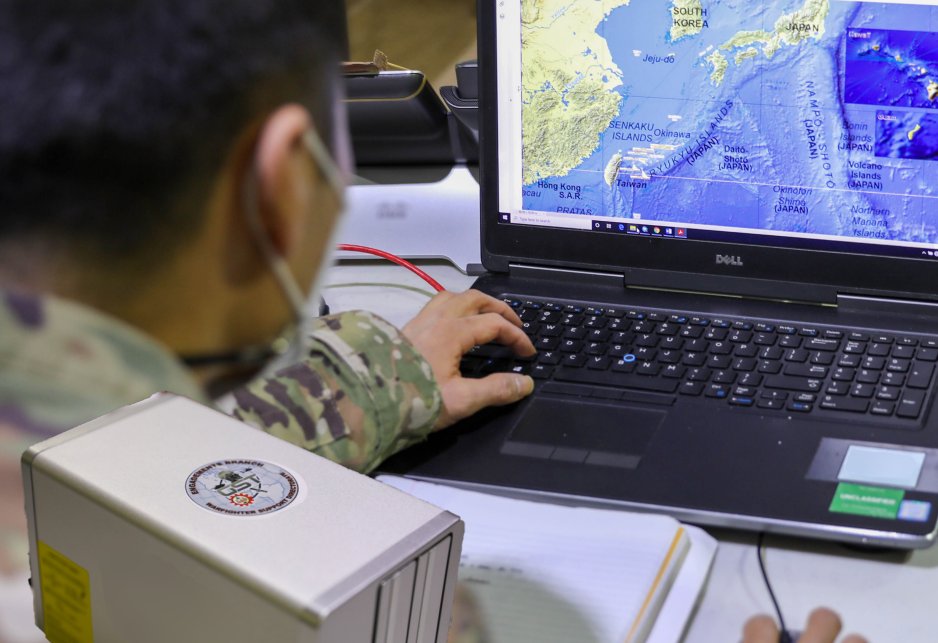
ALT Two Soldiers look at a pair on monitors with maps on them. They are in a control with other soldiers looking at computers. (Photo Credit: Maj. Christopher Vasquez, U.S. Air Force)

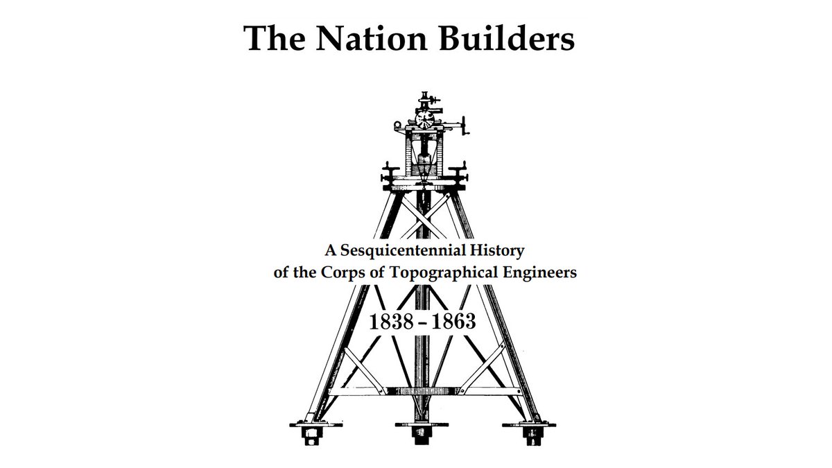
ALT Picture of the cover of the book, "The Nation Builders: A Sesquicentennial History of the Corps of Topographical Engineers 1838-1863." The cover show a tripod with a surveying instrument on top. (Photo Credit: U.S. Army Corps of Engineers)

ALT Photo of Thaddeus Lowe's military balloon near Gaines Mill, Virginia. (Photo Credit: Matthew Brady; modified by U.S. Army Geospatial Center)
ALT A Soldier looking at a map on a laptop computer, with a portable drive in the foreground. (Photo Credit: U.S. Army)
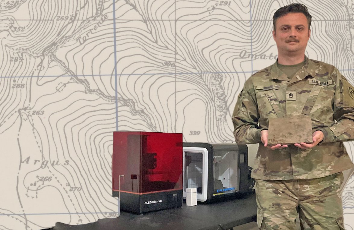
ALT A Soldier holds a physical terrain model in his hand. He is standing next to a 3D printer. There is an image of a topographic map in the background. (Photo Credit: U.S. Army, U.S. Army Geospatial Center, and U.S. Army Map Service map held by the Perry-Castañeda Library Maps, University of Texas Libraries, The University of Texas at Austin)

ALT Image of the Earth on the left with space and stars in the background. The text, "What is GIS?" is written in bold yellow letters over the Earth. (Photo Credit: Engineer Magazine, ESA/Hubble & NASA (A. Dotter), modified by the U.S. Army Geospatial Center)
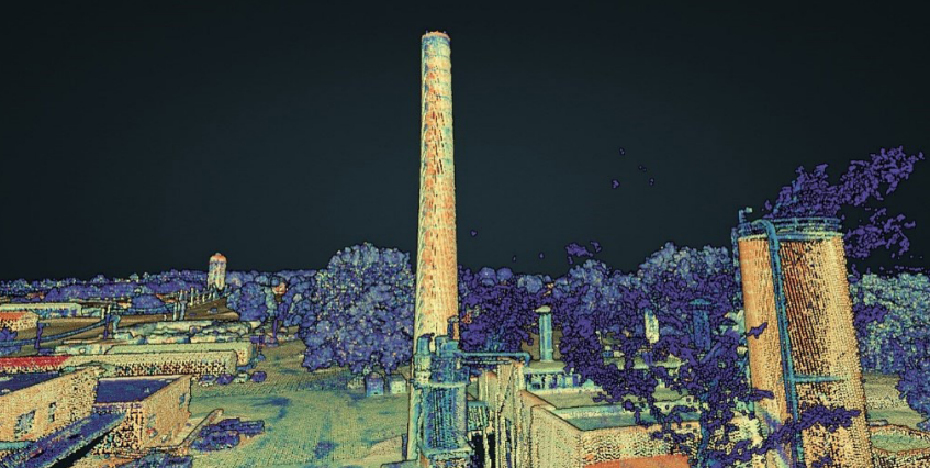
ALT Three-dimensional image of vertical obstructions captured at the Muscatatuck Urban Training Center. (Photo Credit: U.S. Army Engineer and Research Development Center)

ALT Picture of title of the book "Civil War: Acoustic Shadows."