
Jun 15
Boost your tech skills in 5 days! IIEST Shibpur’s Civil Engineering Deptartment is hosting an FDP on "Application of Statistical & Geospatial Tools in Hydrology & Hydroclimatology".
📅 6-10 July 2026
#IIEST #CivilEngineering #Hydrology #GeospatialTools #TechSkills #FDP2026
54

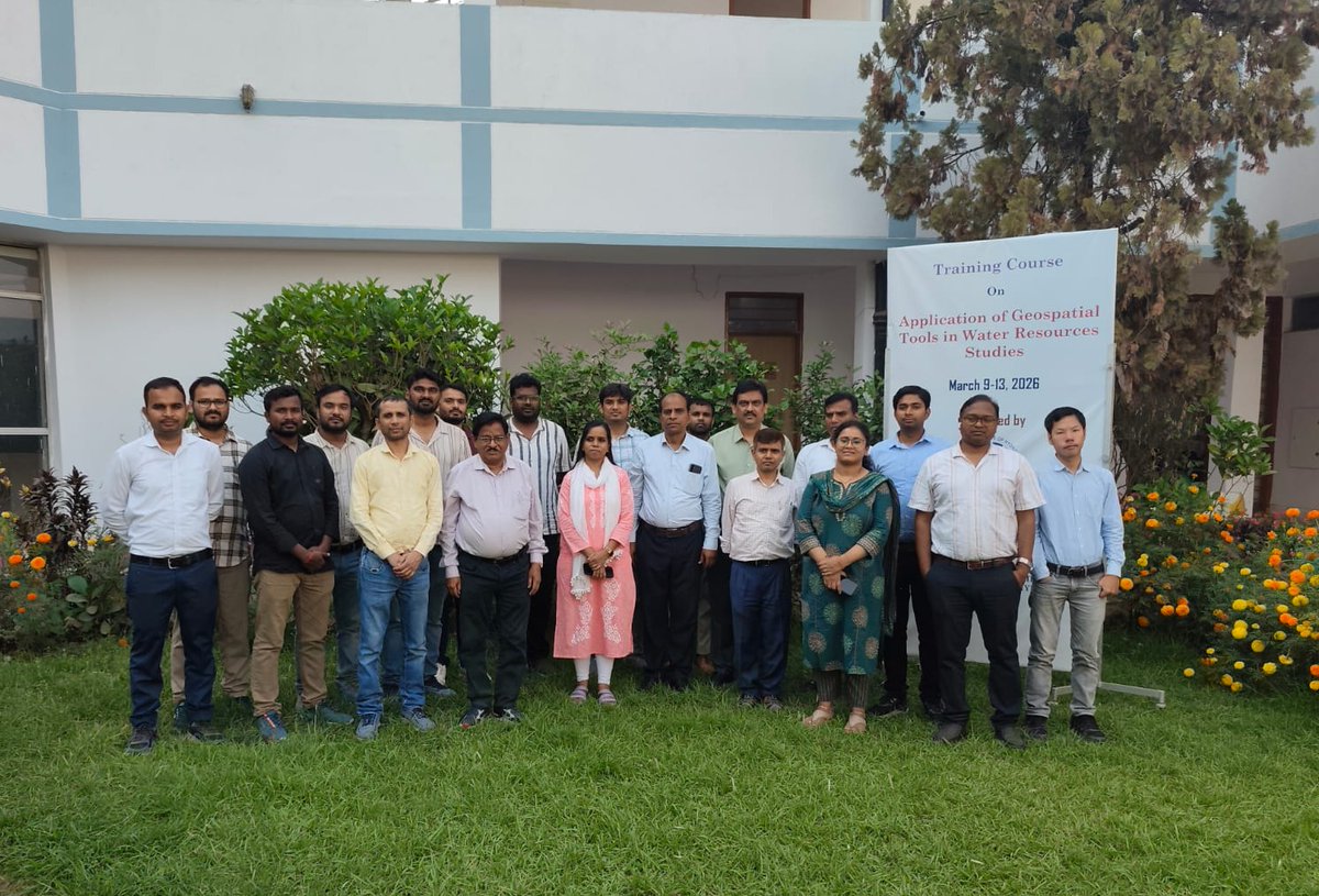
A 5-day training program titled “Applications of Geospatial Tools in Water Resources Studies” was successfully conducted during 09-13 March 2026.
The program was attended by 15 participants from Central and State Government organizations as well as research scholars. The training covered key topics including georeferencing, watershed delineation, preparation of Land Use Land Cover (LULC) maps using supervised and unsupervised image classification techniques with accuracy assessment and the working principles of DGPS along with practical hands on sessions.
#GeospatialTools #WaterResources #Hydrology #GIS #RemoteSensing #DGPS #WatershedManagement #LULC #CapacityBuilding #NIHIndia #EnvironmentalScience
@DoWRRDGR_MoJS
5
12
191

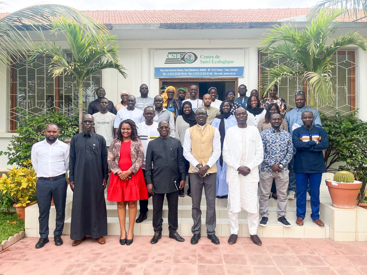
Land degradation isn't just an environmental challenge; it’s a threat to livelihoods. This week in Dakar, we are turning the tide!
We are proud to co-organize the @geoldn_org Regional Training Workshop, partnering with the @Csesenegal _Centre de SuiviEcologique
(Projet Dekkil Suuf) and the GEO-LDN Secretariat to empower practitioners with the tools they need to achieve Land Degradation Neutrality (LDN).
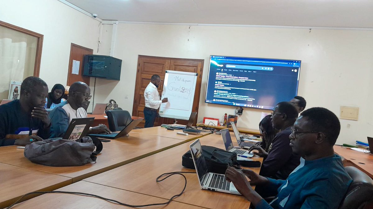
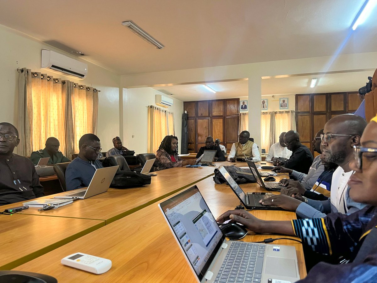
RCMRD’s team is on the ground, leading hands-on training in:
🛠️ JRC Impact Toolbox
📉 Trends.Earth
🛰️ Advanced Geospatial Analytics
The best part? This isn’t just theory. Participants are using real data from the Ndiob and Ngoye communes to support #UNCCD reporting . We aren't just teaching software; we are strengthening evidence-based land management for Senegal and beyond.
#GEOLDN #LandDegradationNeutrality #DekkilSuuf #GeospatialTools #SustainableLandManagement
@
1
3
248

1 Sep 2025
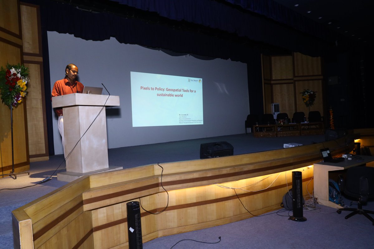
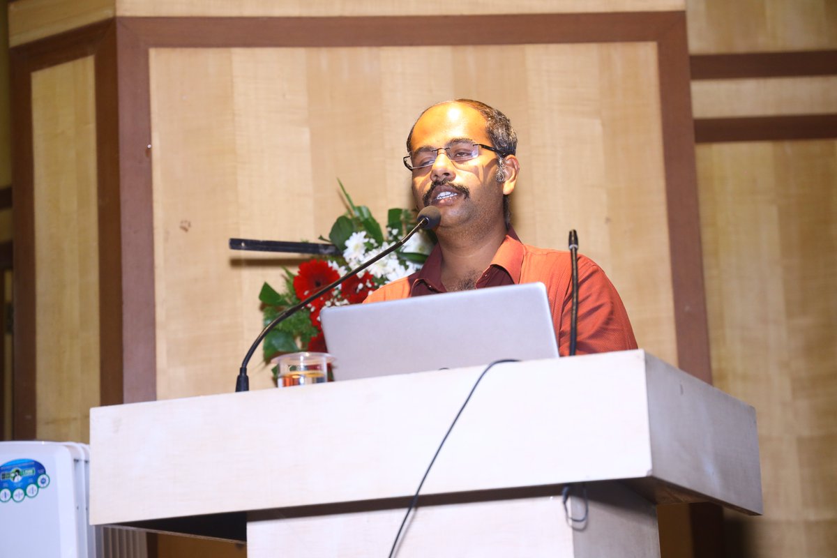
“Every pixel tells a story—if you know how to read it.”
In Parallel Session 2 at #GIFTS2025, @Aravinth_GISnT (Assistant Professor, BVIEER) explored how geospatial tools bridge the gap between data and decision-making.
🧭 A powerful session on turning spatial insights into sustainable policy.
#BVIEER #GeospatialTools #Sustainability #PolicyInnovation #GIFTS2025 #EnvironmentEducation
2
28

7 Jun 2024
Coming Soon!
Classroom Mapping Essentials
You will also find a range of geospatial tools and resources that we have put together with educators like you in mind. Think of it as the start of your mapping and geospatial toolkit.
#geospatial #geospatialtools #geography #digitech
1
2
67

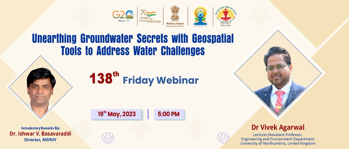
Friday Webinar by Dr Vivek Agarwal, Assistant Professor, Engineering and Environment Department, @NorthumbriaUni , and Dr. @Ishwar1000 , Director MDNIY on an Excellent topic "Unearthing Groundwater Secrets with Geospatial Tools to Address Water Challenges".
Please join us on 19.05.2023 at 5️⃣:3️⃣0️⃣ pm.
Catch the event LIVE on
Facebook: facebook.com/mdniyayush
Twitter: twitter.com/mdniy
YouTube: youtube.com/c/DirectorMdniy
#FridayWebinar #Webinar #Yoga #healthyliving #healthandwellness #healthy #healthiswealth #healthforall #healthyliving #goodhealth
#GroundwaterResearch #WaterChallenges #GeospatialTools #WaterSustainability #Hydrogeology #WaterManagement #EnvironmentalScience #WaterResources #sustainablewater
1
171

2 Nov 2022
Check out the last #BoletinRAMI 📡 Implemented tool by @amazonacca in #Peru @SERVIRGlobal #SERVIRAmazonia cc @USAIDPeru @USAID @NASA @sig_gis @ProgramaBosques @NovoaSidney @Milagro90800313 @Carlos45609770 #GeoSpatialTools #GeoSpatial #MiningMonitoring #Monitoring #MadreDeDios
18 Oct 2022

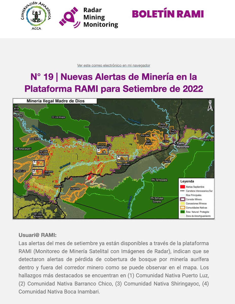
#BoletínRAMI 🛰 | ¡Nuevas alertas de minería para setiembre 2022!
📰 Revisa el reporte 19: bit.ly/RAMI_19
➡ Visita nuestra herramienta: rami.servirglobal.net/
Suscríbete a nuestro Boletín mensual: bit.ly/BoletínRAMI
3
7

15 Sep 2022
Off-grid companies – want to know how to prioritize geographic areas to increase sales & #EnergyAccess? Our route-to-market #GeospatialTools map population density, electrification, telecoms & road infrastructure to guide you. More info in our latest blog: ow.ly/KwSM50KGGPF
3

31 Jul 2020
Get tips from the experts on virtualizing your #GIS so you'll be ready the next time your team needs to work from home!
ow.ly/56UP50AJkHh #goingvirtual #geospatialtools #gst

ALT office work, studying, office
2

25 Nov 2019
Un esfuerzo de una década para lograr el primer #mapa geológico de Suramérica. #gis #geospatialtools tinyurl.com/qr5btos vía @elespectador
2
5 Oct 2019
¿Estás utilizando un #CAD cuando deberías estar usando un SIG? 10 diferencias entre #SIG y CAD #geospatialtools #gis mappinggis.com/2018/03/10-di…
1
2
4
17 Aug 2019
La jerga de la teledetección de la A a la Z gisandbeers.com/la-jerga-ter… vía @gis_and_beers #gis #teledeteccion #geospatialtools
7

28 Nov 2018
I am also hugely excited to have been asked to chair sessions such a session on #DigitalCriminology #GPS #geospatialtools #surveillance and hear the amazing papers by other #criminologists such as @DHarkin @DeakCriminology B. Benson; H. Paterson and D. Tait
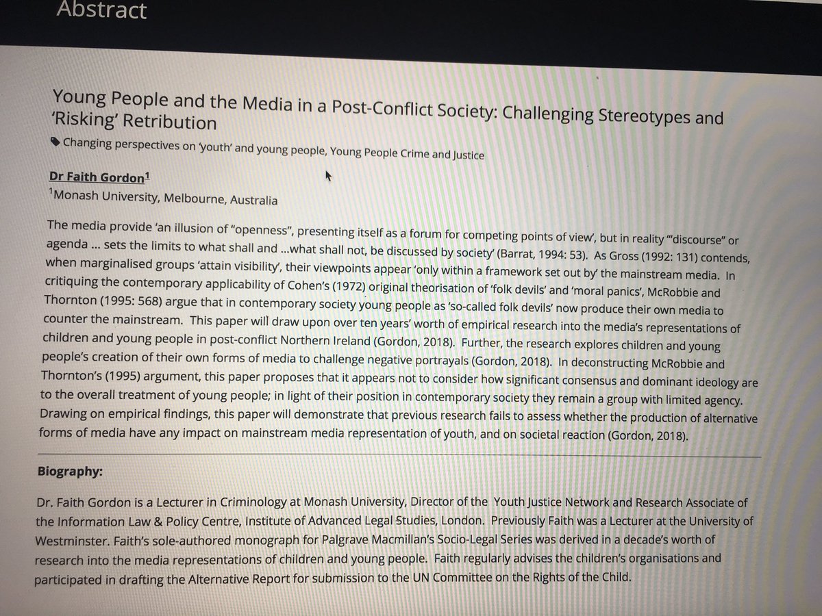
28 Nov 2018

Really excited to be presenting at my first @anzsoc #ANZSOC2018 conference @unimelb @unimelbcrim & first conference as a @MonashCrim team member. My paper is drawn out of my recently published monograph & focuses on #youngpeople #media #postconflictsocieties #risk #retribution
10
28 May 2018
Geoinformación: Como descargar imágenes #satélitales georeferenciad... #geospatialtools juanchosierrar.blogspot.com/…
1

10 Jul 2017
Visualize the Changing Planet with New Landsat Explorer Web App | #esri #maps geospatialtools #gis shar.es/1BTDFC
1
10 Jul 2017
OpenRouteService's 'Quiet Routing' Creates a Less Stressful Route for Pedestrians | #maps #geospatialtools gislounge.com/openrouteservi…
2

22 Feb 2017
2
2
12 Jan 2017
Equivalencia de bandas multiespectrales entre #satélites / #gis #geospatialtools gisandbeers.com/equivalencia… vía @gis_and_beers
3
14 Dec 2016
#GoogleEarth API /plugin finally coming to an end / #geospatialtools #geospatial gearthblog.com/blog/archives…