
Tweets about #GIS #cartography #maps #geodesy #nature
Joined December 2014
- Tweets 1,112
- Following 625
- Followers 1,490
- Likes 3,407
127 Photos and videos


Patrycja Krajczyńska retweeted

Apr 19
A masterpiece of precision and artistry: Guillaume Henri Dufour’s Topographische Karte der Schweiz (1833–1863). Created at an impressive 1:100,000 scale, this 25-sheet national map set a new standard for scientific cartography in the 19th century. Steel-engraved with extraordinary detail, it uses delicate hachures to sculpt the Alps in three dimensions—capturing Switzerland’s dramatic terrain with remarkable clarity. Centered on the Bern Observatory and produced during a period of rapid technological progress, the map supported military planning, infrastructure, and national unity.
See all sheets: davidrumsey.com/luna/servlet…
7
102
719
161,916
Patrycja Krajczyńska retweeted

Mar 5
I built "Avalanche Map" as a desktop app with @glazeapp to plan ski touring adventures! The Glaze agent just figured out how to pull the latest avalanche report from the official Swedish avalanche website - including detailed topo shading and slope angles. It supports 3d maps and can filter map output by the aspects affected by today's danger.
Building niche software like this with just a few prompts is great
9
12
176
11,878
Patrycja Krajczyńska retweeted

Feb 20
🎉 To mark the release of over 700 georeferenced declassified spy satellite images, Harry has made his 1960-1984 map collection fully searchable: spacefromspace.com/declassif…
Explore anywhere in the world and jump straight to the interactive maps to compare them to modern day.
3
36
171
11,028
Patrycja Krajczyńska retweeted

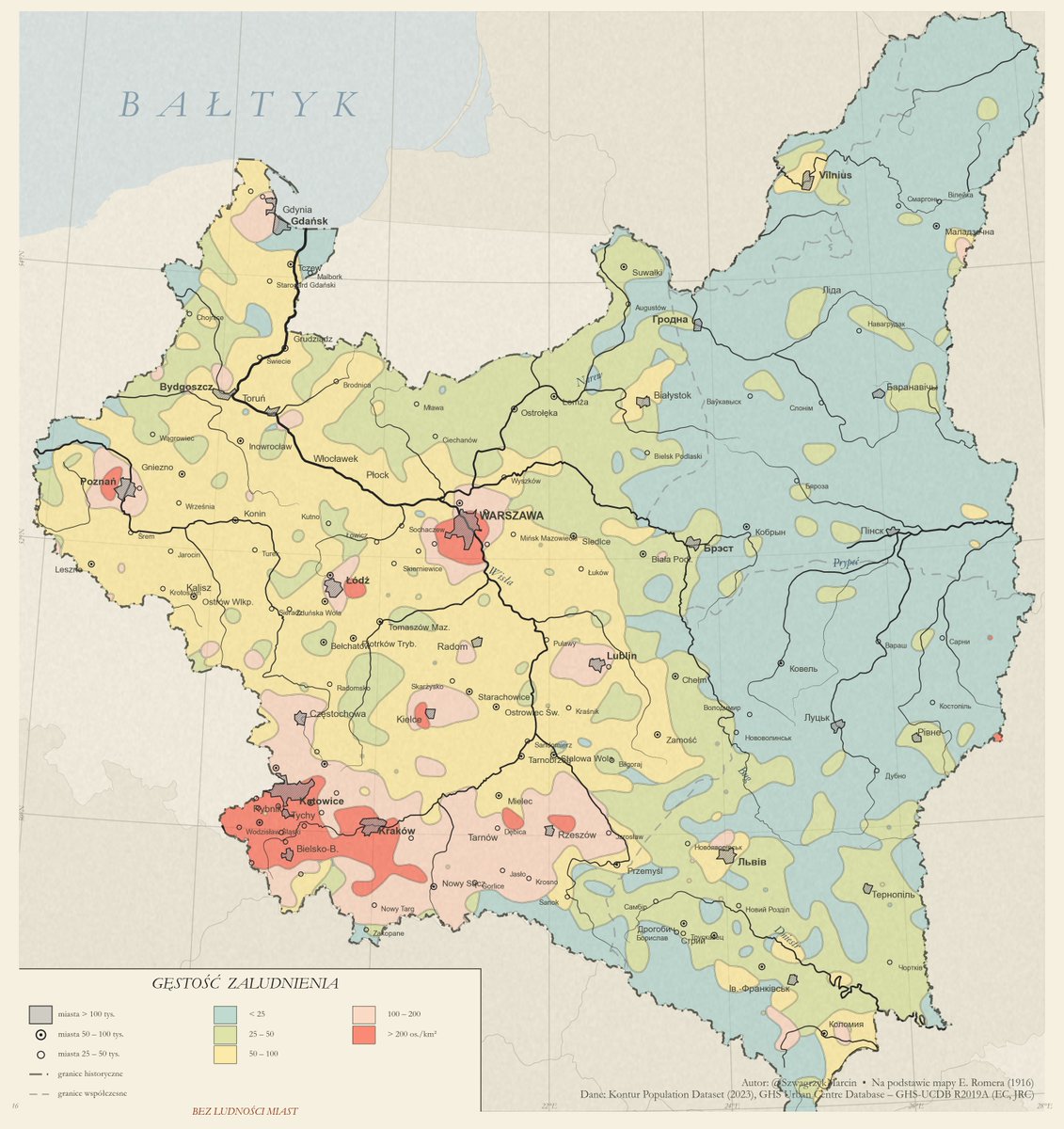
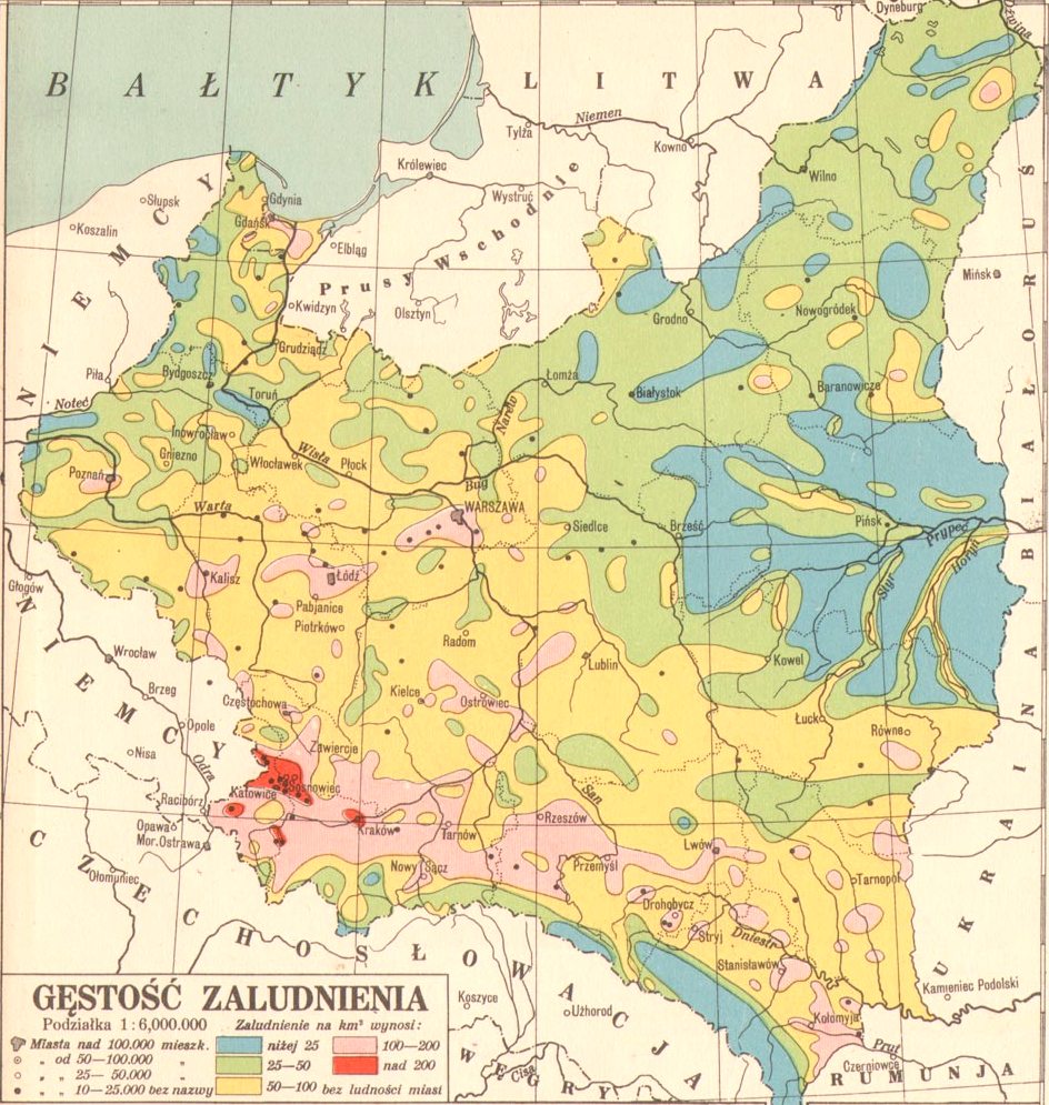
Zrobiłem współczesną rekonstrukcję mapy Eugeniusza Romera, przedstawiającej gęstość zaludnienia upload.wikimedia.org/wikiped… w oparciu o aktualne dane: Kontur Population Dataset (data.humdata.org/dataset/kon…) oraz Urban Areas GHSL (ghsl.jrc.ec.europa.eu/).
11
23
171
22,975
Patrycja Krajczyńska retweeted

Jan 27
#MakingMapsPretty
I’m developing a #QGIS tool to generalize and smooth a DEM, then generate a shaded relief and matching contour lines, all adapted to the selected level of generalization. Azimuth, height, Z-factor, and contour interval are controlled with a single click.
6
23
220
15,420
Patrycja Krajczyńska retweeted

6 Nov 2025
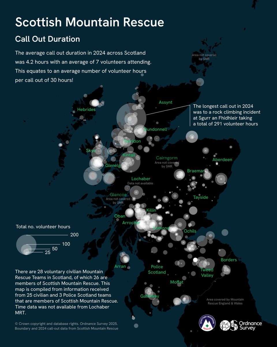
For Day 6 of the #30DayMapChallenge - Dimensions, Geospatial Consultant Hannah Wright highlights the scale of @ScottishMR call-outs in 2024.
Some incidents demanded over 200 volunteer hours, showing the immense effort to reach and resolve emergencies.
4
24
1,339
Patrycja Krajczyńska retweeted

7 Nov 2025
#30DayMapChallenge Day 6 - Dimension A 3-D Georeferenced Map of Antarctica 🇦🇶 "Antarctica Polar Steriographic" produced by " Common Wealth Australia ",1986 edition 4 #gischat #Antarctica #SouthPole #map #qgis #b3d

5
11
131
4,194
Patrycja Krajczyńska retweeted

2 Nov 2025
#30DayMapChallenge Jour 2 : Lines
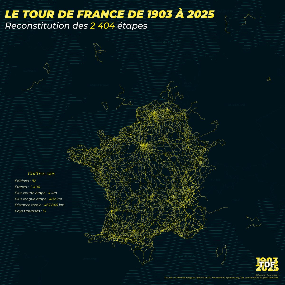
Fruit de 5 ans de travail, c'est enfin l'heure de vous présenter la carte de toutes les étapes de l'Histoire du Tour de France (1903-2025)
Datas :
➡️1903-1947 : @GallicaBnF
➡️1947-2000 : memoire-du-cyclisme.org
➡️2000-2025 : @laflammerouge16
95
412
2,350
353,355
Patrycja Krajczyńska retweeted

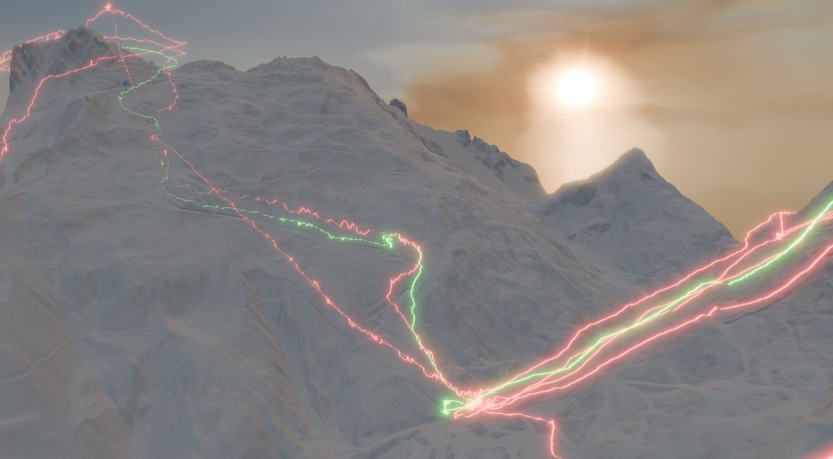
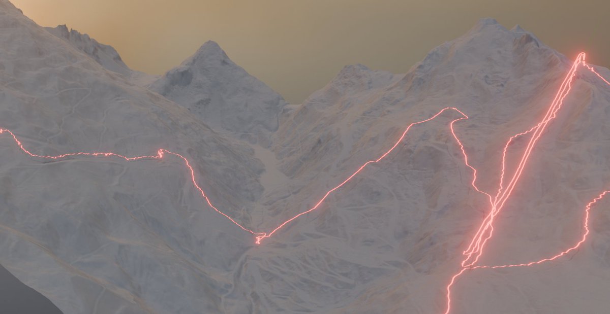
4 Nov 2025
#30DayMapChallenge Day 4: My Data Playing around with some of my ski GPS tracks from Les Trois Vallées earlier this year. Made with #qgis and #b3d using RGE ALTI data
6
85
2,654
Patrycja Krajczyńska retweeted

7 Nov 2025
Day 7 - Accessibility
Milan in 5 minutes: areas within walking distance from metro stations. A map of everyday mobility — connections and urban proximity.
#30DayMapChallenge #day7 #Accessibility #cartography #mappingitaly #UrbanMobility #cityplanning #milanocity #5minutecity

17
84
2,319
Patrycja Krajczyńska retweeted

8 Nov 2025
#30DayMapChallenge Day 8 – Urban.
A #map showing the visibility of the Palace of Culture and Science in Warsaw.

5
67
2,145
Patrycja Krajczyńska retweeted

8 Nov 2025
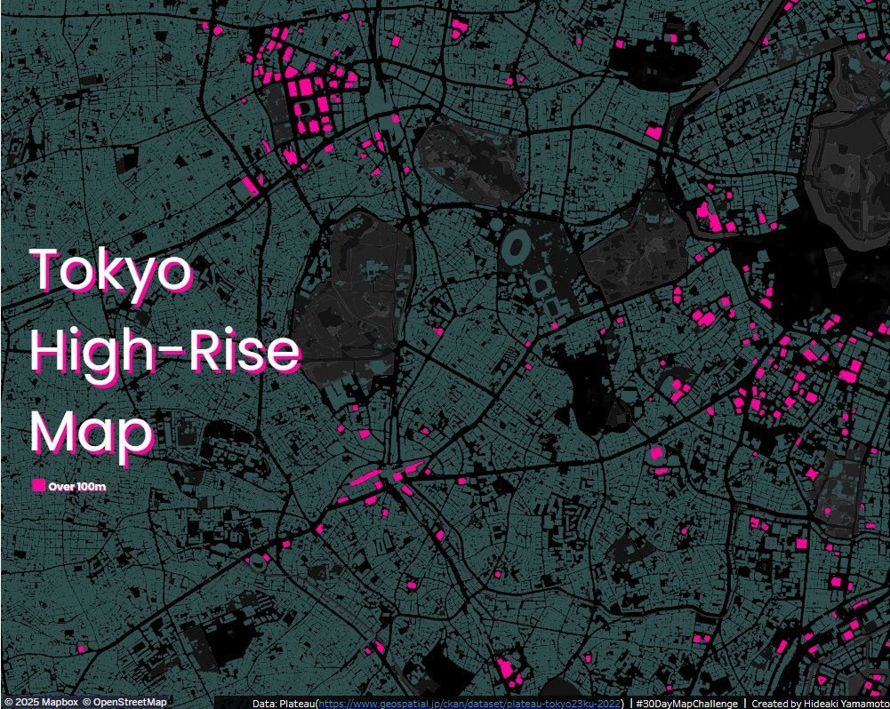
#30DayMapChallenge Day8:Urban
I used Plateau data for the first time.
It's incredibly rich and detailed, and Id love to explore it more.
I created it using #Tableau and #QGIS.
public.tableau.com/app/profi…
10
108
3,479

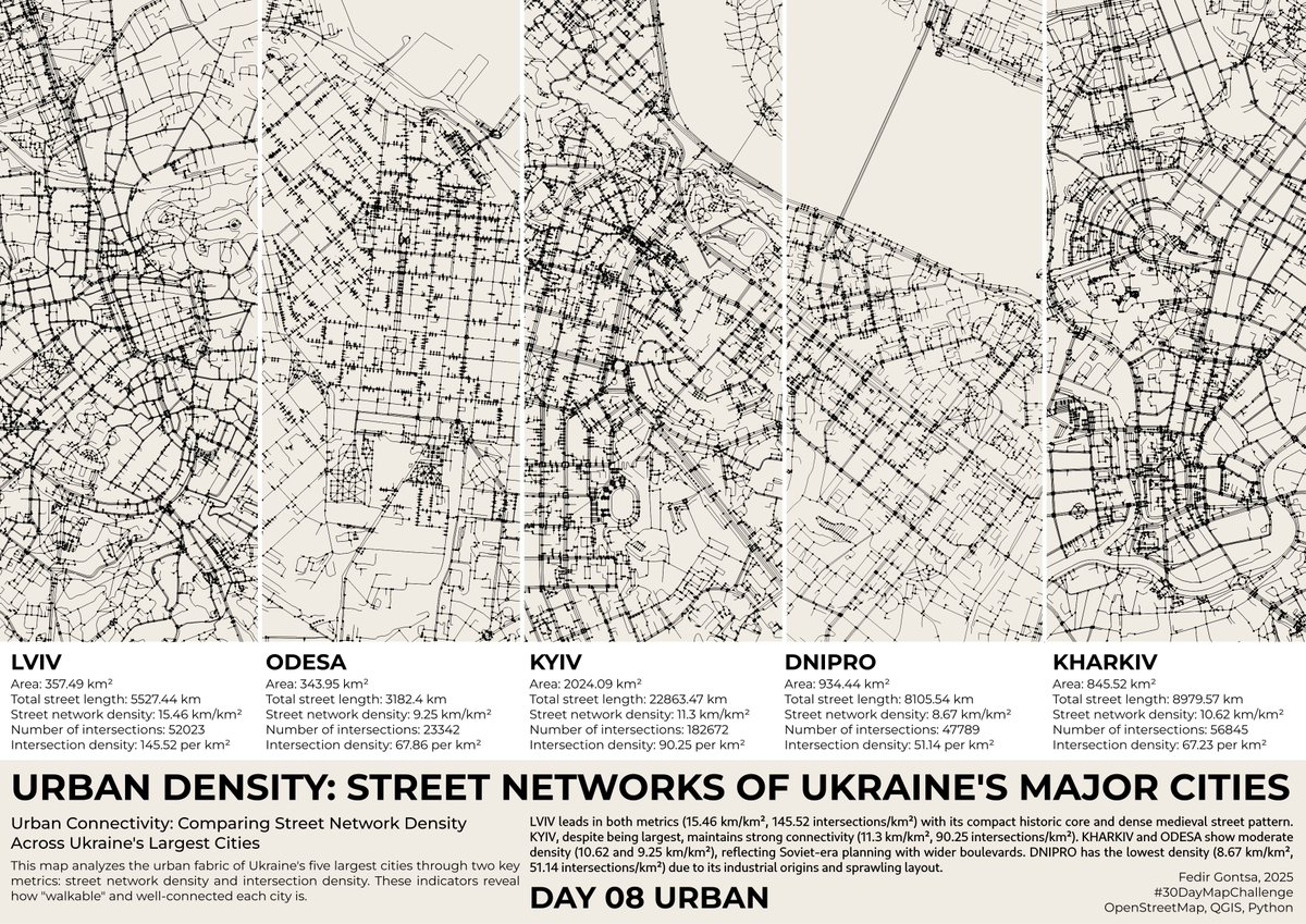
Day 08. Urban
#30DayMapChallenge
Urban Density: Street Networks of Ukraine's Major Cities
15
70
2,674
Patrycja Krajczyńska retweeted

24 Oct 2025
🌎I’m actively seeking full-time roles as a #Cartographer (on-site / remote). With rich experience in cartography & GIS, my work has been widely recognized with 70 achievements. If your team’s hiring or you know openings, I’d truly appreciate any referrals or shares! #OpenToWork

3
1
4
1,002

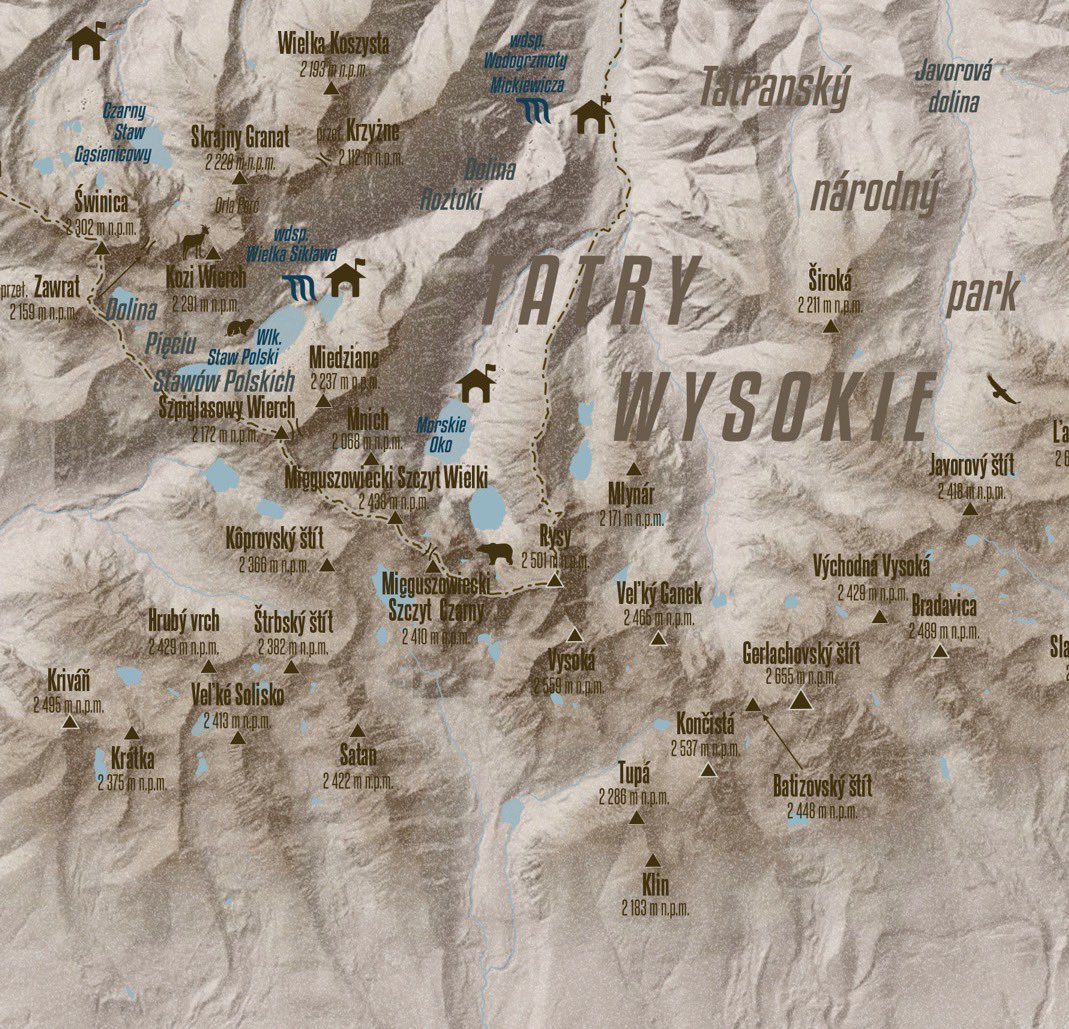
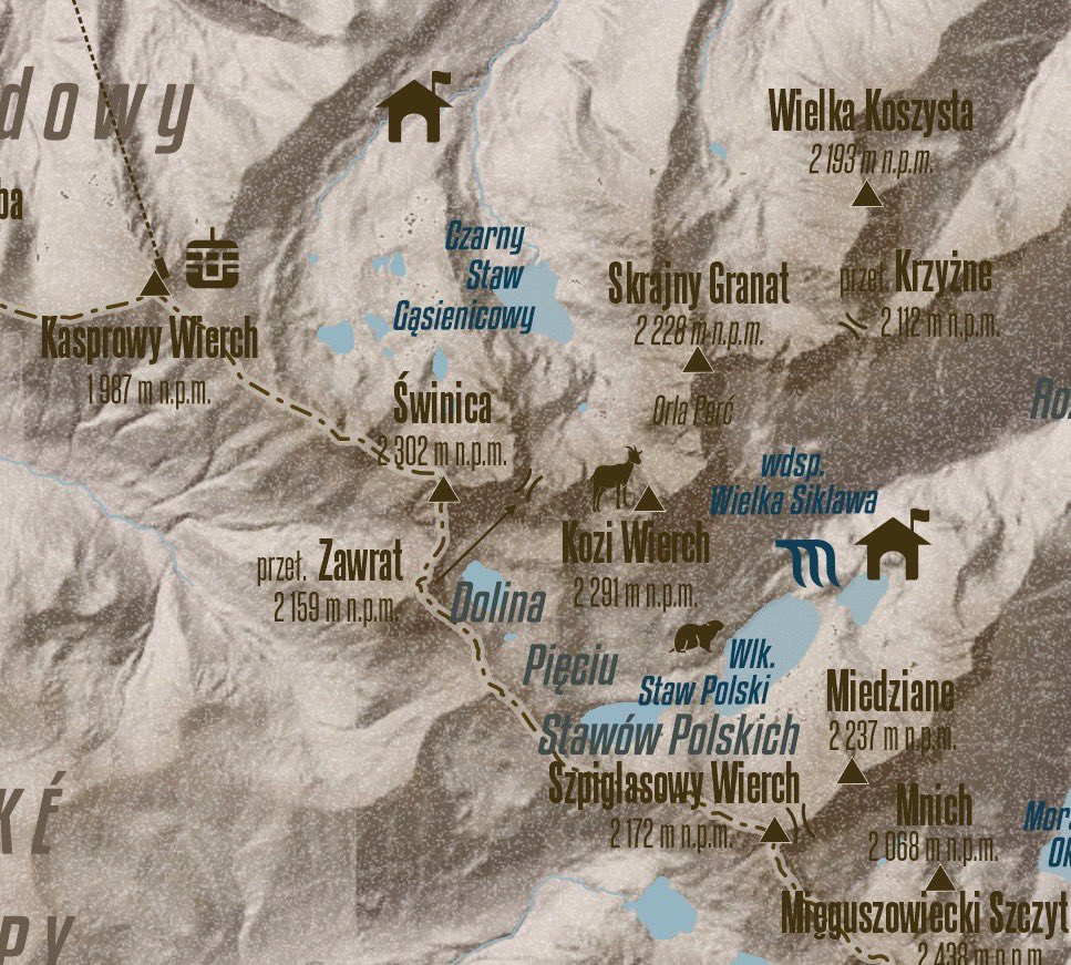
30 Aug 2025
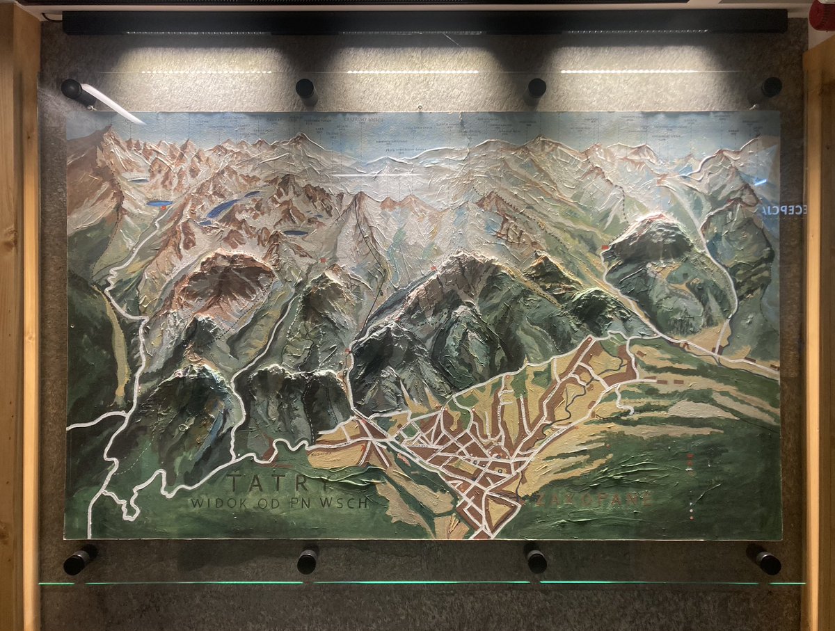
Tatra Mountains, highest range of the Central Carpathians, located on the border of Slovakia and Poland. #tatramountains #qgis #tatry
4
4
20
1,684
Patrycja Krajczyńska retweeted

New maps and factsheets published in the Atlas of Ungulate Migration today! Learn about the conservation successes and challenges facing Poland’s migratory moose and European bison. tinyurl.com/2r4rw7hm @BonnConvention @ScienceinPoland @mriBialowieza

5
14
987
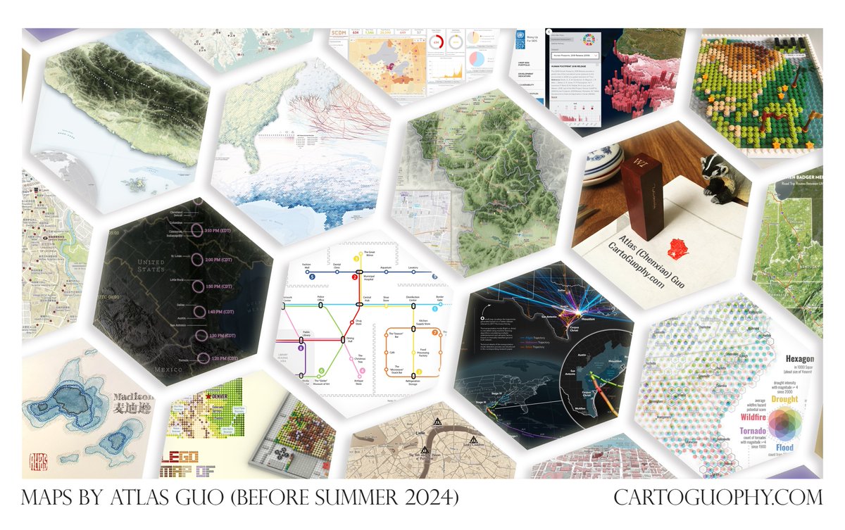
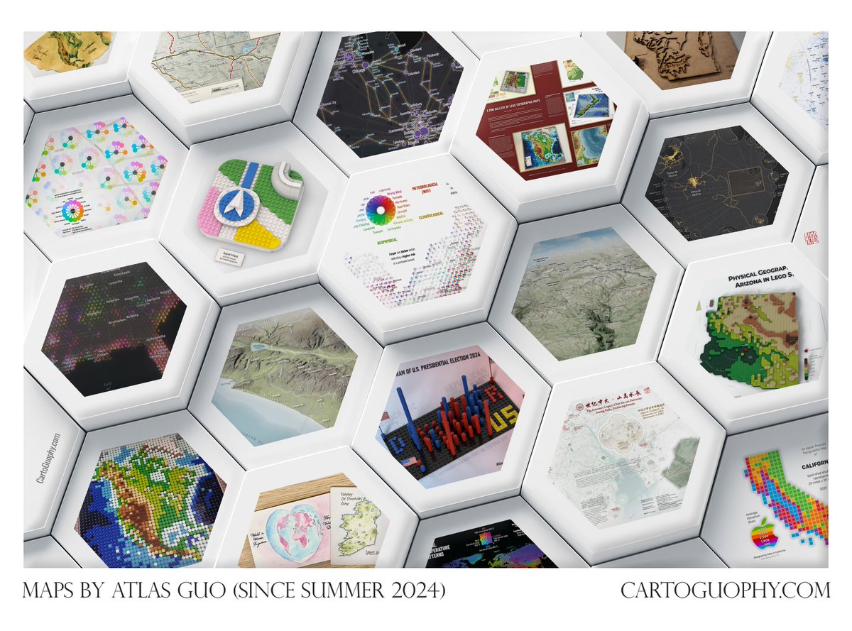
20 May 2025
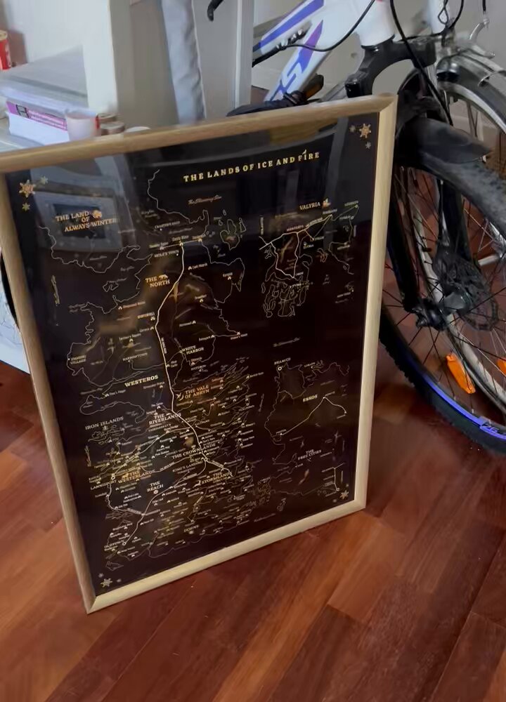
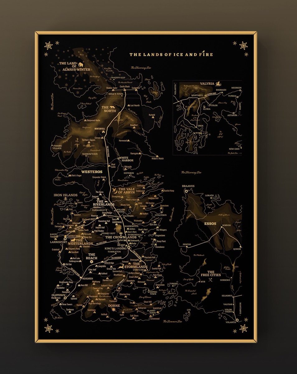
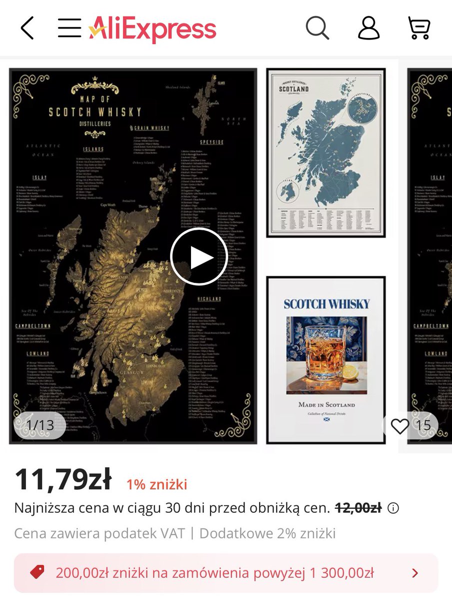
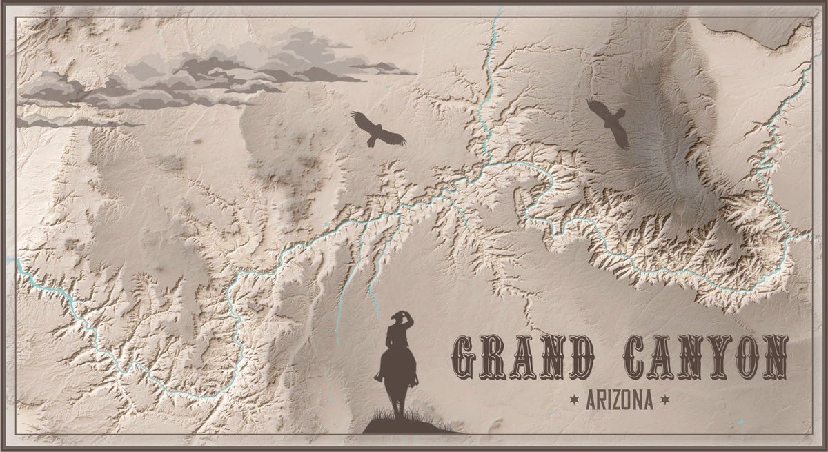
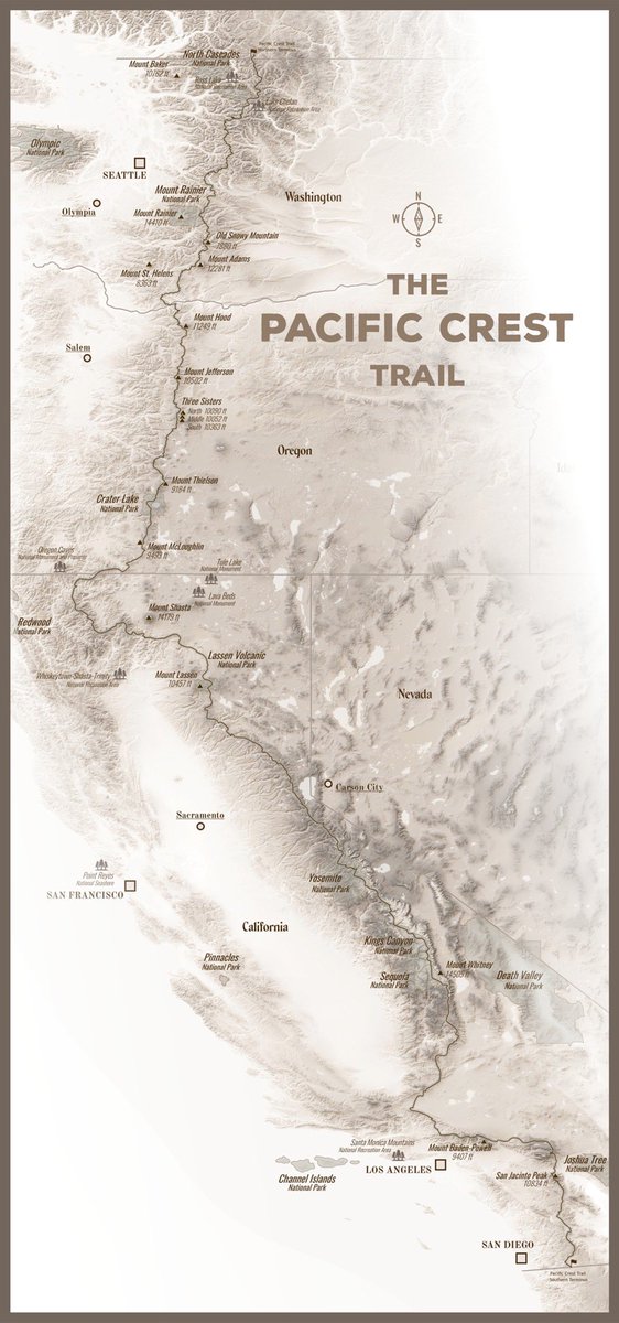
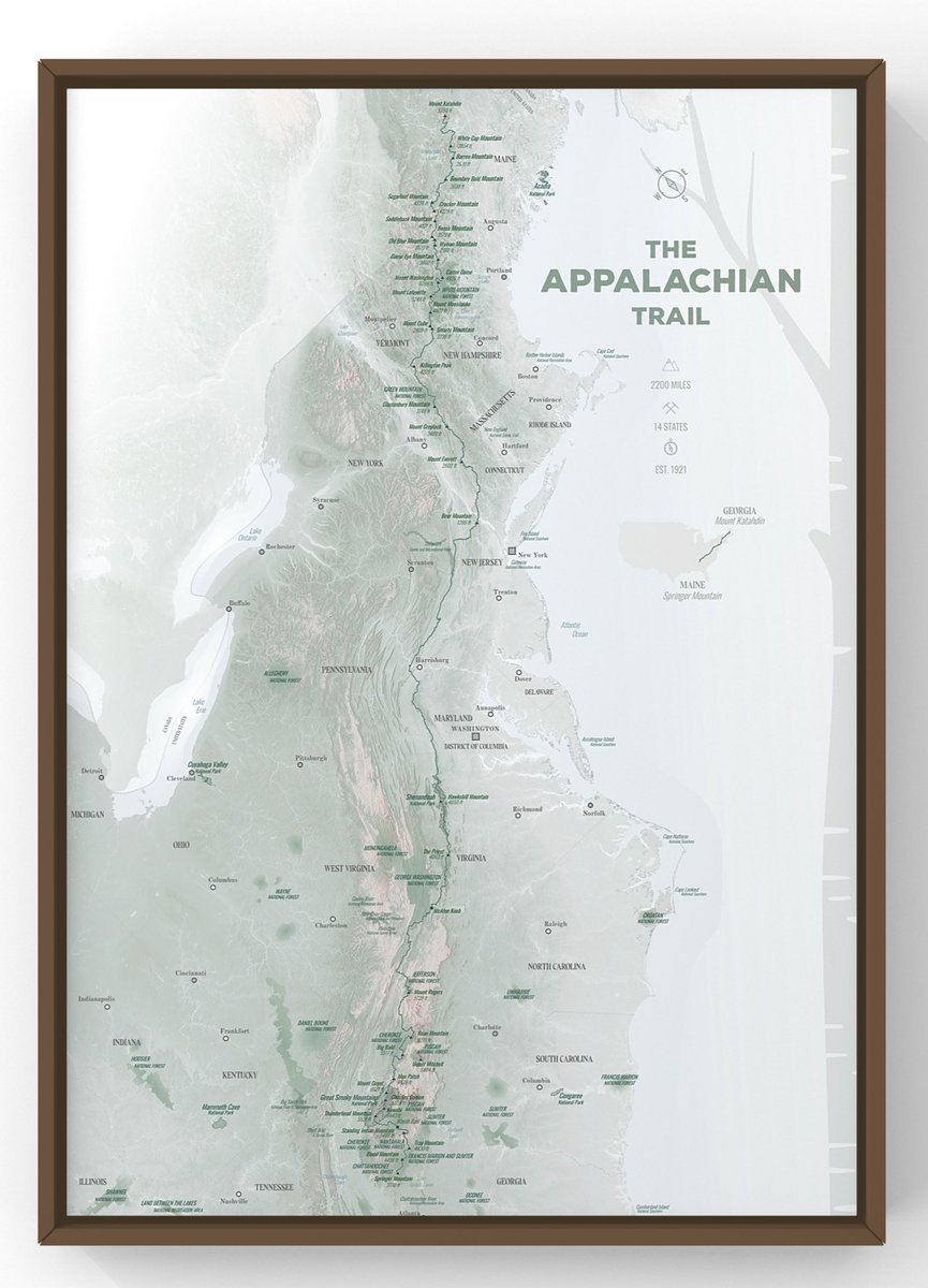
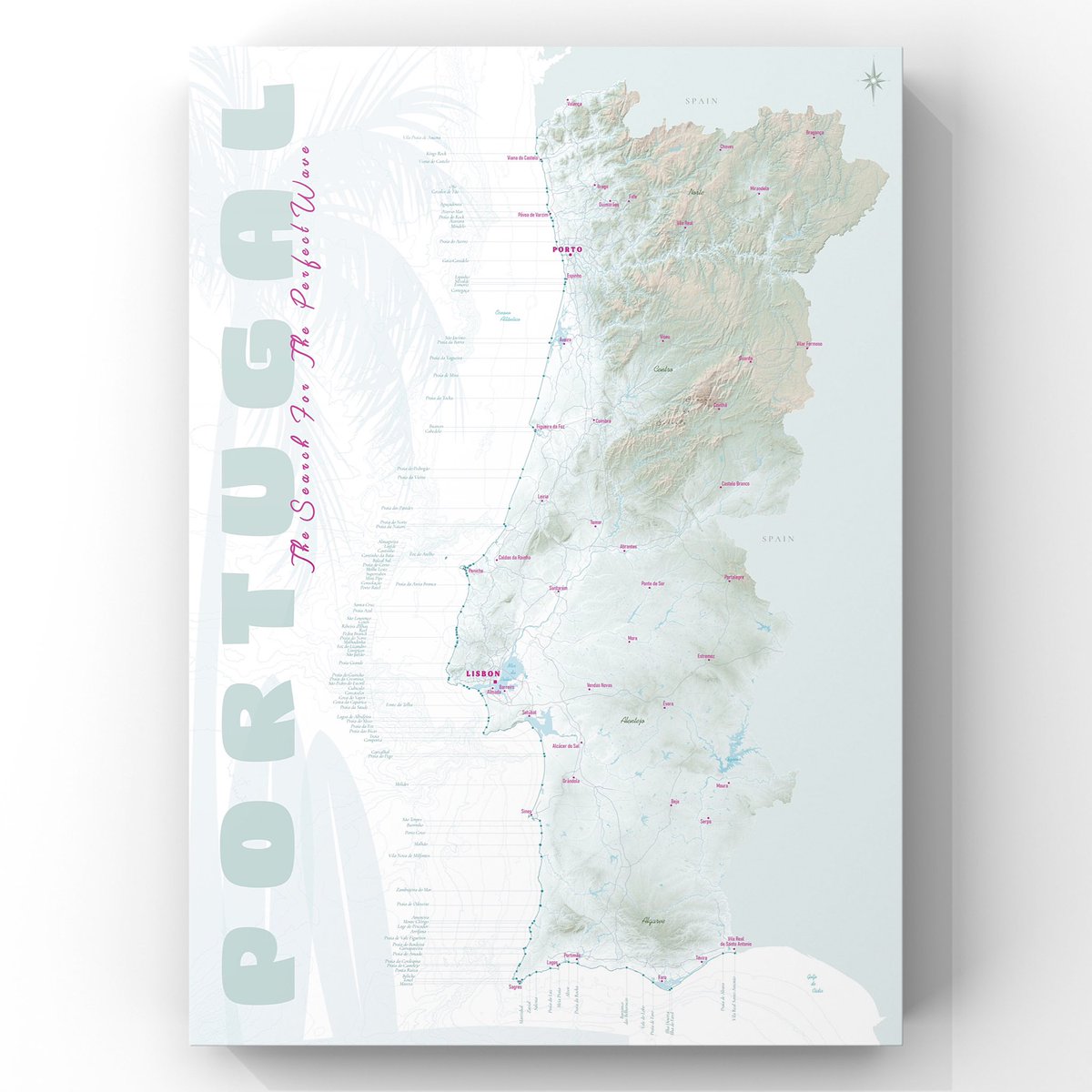
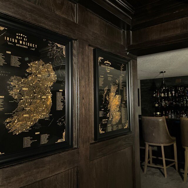
Beautiful maps that you would like to have it 🔥
4
298
Patrycja Krajczyńska retweeted

28 Mar 2025
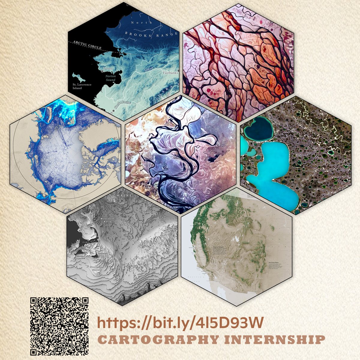
Cartography summer internship alert - come make maps with me and Greg!
27 Mar 2025

Make a difference this summer -- Join
@cmshintani and me for an internship at Woodwell Climate Research Center and contribute to critical research on climate change.
Apply now: bit.ly/4l5D93W
And please share
#jobs #gischat #cartography #Spatial #DataVisualization
1
6
548
Patrycja Krajczyńska retweeted

26 Feb 2025
🔴 The last drought analysis for the first 10 days of February shows that a severe and prolonged drought has become very intense in regions in Morocco 🇲🇦, Algeria 🇩🇿, & Tunisia 🇹🇳
Check the latest #EDO analysis here 🔗 europa.eu/!TqmMcp

1
22
44
4,388