
Tackling the worlds toughest challenges with AI & ML applied to satellite & aerial imagery satellite-image-deep-learnin…
Joined April 2009
- Tweets 8,429
- Following 4,188
- Followers 11,733
- Likes 69,358
764 Photos and videos


Pinned Tweet

Jun 10
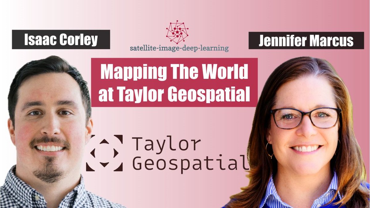
🎙️New Podcast & YouTube: Mapping The World at Taylor Geospatial
2
3
7
1,999
Jun 12
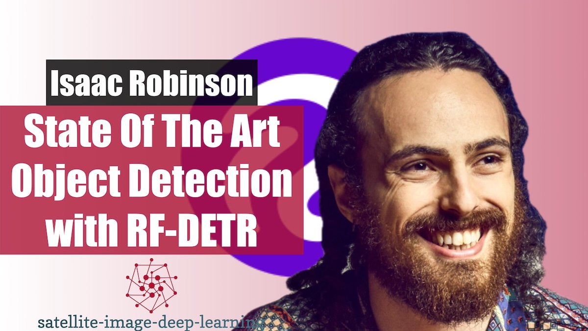
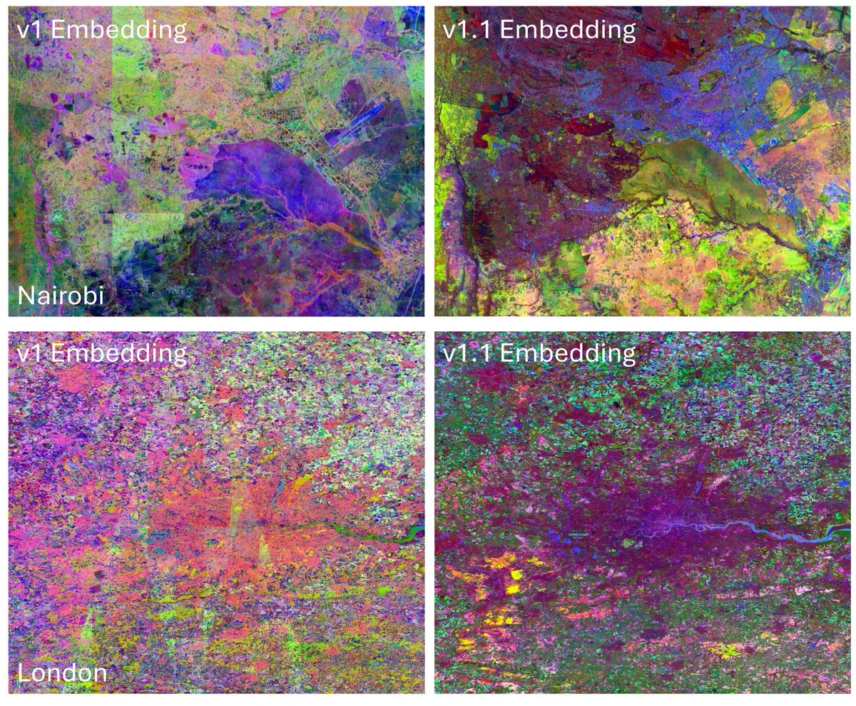
Tessera v1.1 is here
Jun 12

Tessera v1.1 is here — cleaner embeddings, fewer artefacts, and coastal coverage for the mangrove fans 🌿
Drop-in replacement for v1.0.
geotessera.org/blog/2026-06-…
#EarthObservation #RemoteSensing #Geospatial
1
6
1,174
Robin Cole retweeted

🎙️ Your Fields of The World podcast playlist:
🌍 Spatial Stack w/Matt Forrest -open.spotify.com/episode/7mO…
🛰️ Satellite Image Deep Learning w/@robmarkcole -open.spotify.com/episode/4ah…
💡 Great Data Products w/@jedsundwall @OurRadiantEarth @source_coop -youtube.com/live/viiPXej01iM…
3
9
432
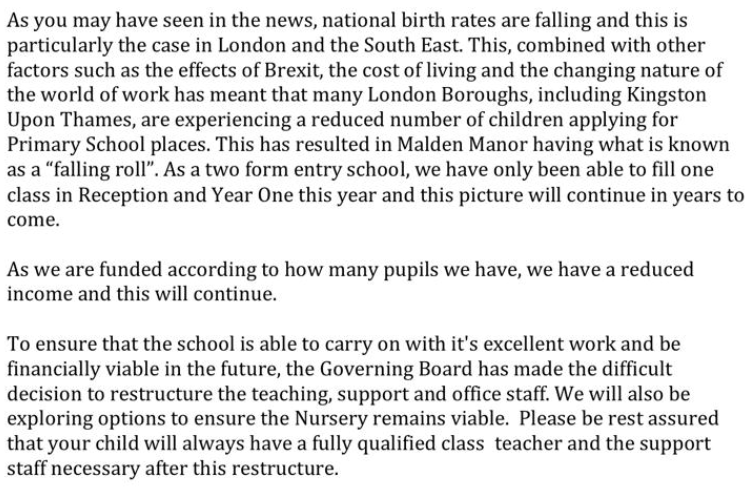
Jun 10
🎙️New Podcast & YouTube: Mapping The World at Taylor Geospatial
2
3
7
1,999
Jun 10
We dive into the technical details behind the first global release: assembling noisy and uneven benchmark datasets from around the world, training models that generalise across diverse agricultural systems, and releasing everything from Sentinel-2 mosaics and raw segmentation probabilities to polygonised field boundaries through Source Cooperative. Along the way, we discuss community-driven improvement loops inspired by OpenStreetMap, the limitations of 10 m imagery for smallholder agriculture, and the importance of pairing academic researchers with engineering teams to rapidly operationalise new methods. Finally, we look ahead to Taylor Geospatial’s next phase - richer agricultural datasets, “Features of the World,” and a benchmarking initiative aimed at improving evaluation standards and reproducibility across geospatial foundation models.
1
288
Robin Cole retweeted

Jun 8
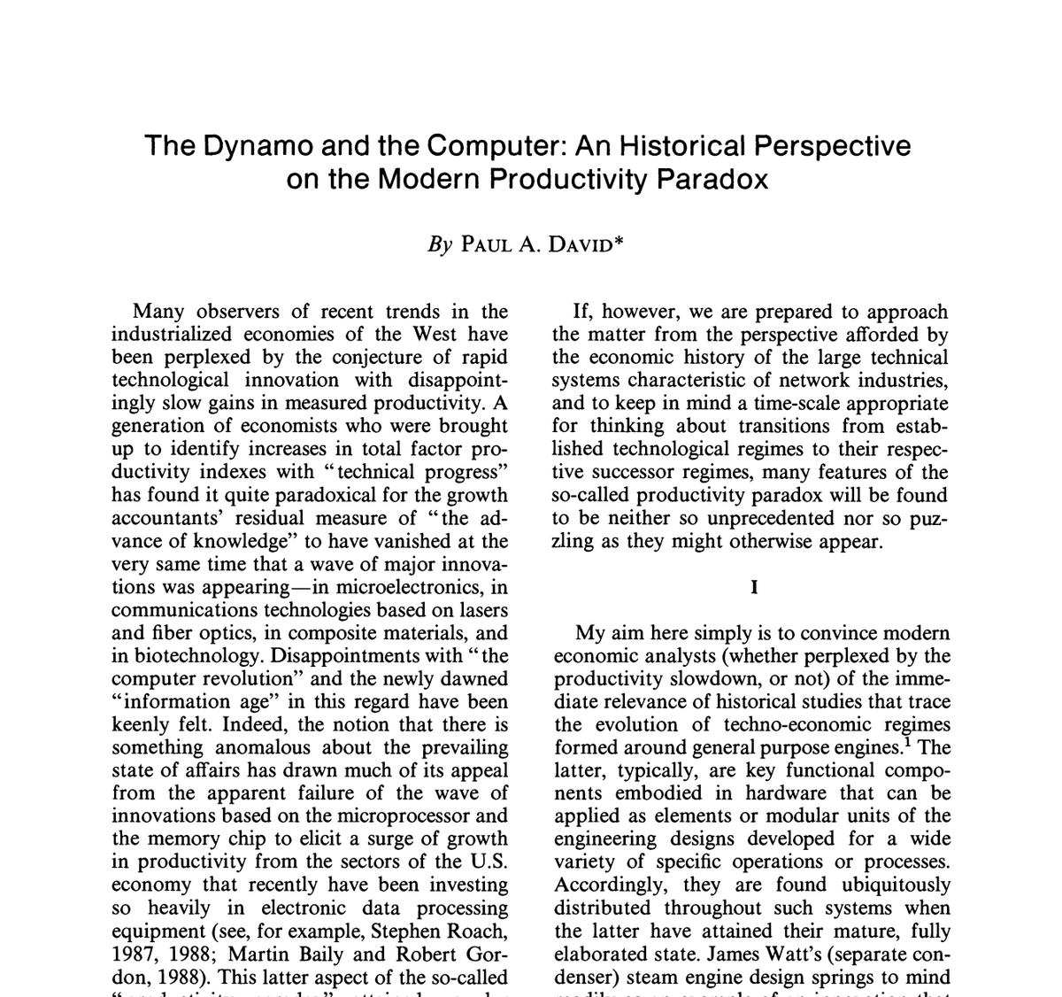
If you've adopted AI at your company but haven't seen any tangible results, read this 1990 article: "The Dynamo and the Computer" by Paul David.
When electricity first arrived, factories that "adopted" it barely got faster. They just swapped the steam engine for an electric one and ran everything else exactly as before: same machine layout, same workflow, same management. Electricity in, no real gains out.
The most common mistake with any new technology is to drop it into the old organization and then declare the transformation done.
The real leap came decades later, when each machine got its own small motor. Suddenly machines no longer had to be lined up around one central drive shaft. They could be rearranged around the actual flow of work.
The productivity gains didn't come from electricity. They came from REDESIGNING THE ENTIRE FACTORY around it.
AI is the same. Bolting it onto your existing process gets you a faster steam engine. The payoff comes when you redesign the work itself.
(link to paper in comments)
146
753
4,228
286,200
Robin Cole retweeted

Jun 3
“Penetration pricing” is the term used when a company burns through Venture Capital money selling a product under its cost to build market share.
Remember how cheap Uber and Lyft used to be? VCs subsidized the drivers and the riders for years. Then they went public and now it costs me $20 for a 3 minute ride down the road.
DoorDash, Uber Eats, Instacart.
MoviePass, Netflix, Hulu.
All of these companies sold below cost to get market share then massively raised their prices, added ads, diminished their products, etc.
AI today is no different. OpenAI and Anthropic are giving us all cheap rides. To do that, they’re selling $1.00 for 10 cents.
Get it while you can before a different kind of penetration begins.
Jan 9

You have 9 months - at most - to use AI tools to finish your application.
Then every AI company will ask you to pay for the compute you’re using and you won’t be able to afford it anymore.
23
126
712
63,919
May 29
EarthShift: a benchmark for measuring robustness to real-world distribution shifts in Earth observation

🔥 Hot take: Geospatial Foundation Models (GFMs) are brittle.
So, we built EarthShift 🌍 — the first public testbed for benchmarking the robustness of GFMs across realistic distribution shifts in remote sensing!
📄 Paper: arxiv.org/abs/2605.29330
(Thread)
1
8
3,635
Robin Cole retweeted

CEOs are quietly realizing the AI replacement plan has a problem.
Two problems, actually.
One: the token costs for running AI agents are now exceeding what they were paying the employees they fired.
Two: when the tokens run out, the AI stops. Just stops. No continuity. No workaround. Just a spinning wheel where your workforce used to be.
You fired humans to save money and bought a subscription that bills you into a corner.
The employees you let go knew what to do when things broke.
The AI just invoices you for the outage.
And then there’s the permission problem nobody wants to talk about.
To do its job, the AI agent needs access. Full access. Your systems, your patents, your contracts, your future plans. Everything you spent years building, handed over to a process that has no loyalty, no discretion, and no skin in the game.
You didn’t hire a replacement.
You gave a stranger with no soul the keys to everything you own.
Enjoy.
1,396
13,723
53,478
3,302,283
May 27
Scaling Transparency: Annual, Pan-Tropical Commodity Maps Powered by AlphaEarth Foundations

Today, we're excited to announce a major milestone in spatial transparency: the launch of annual, global commodity tree crop maps (coffee, cocoa, oil palm and rubber) built with Google’s Satellite Embedding dataset, part of Google Earth AI. goo.gle/4uAnDkY
This dataset represents the first pan-tropical, open source, 10-meter resolution map for cocoa, coffee, and rubber, key commodity tree crops associated with deforestation.
These maps are a core output of the Forest Data Partnership (FDaP), a global consortium dedicated to halting forest loss by collaboratively improving monitoring and supply chain tracking. By scaling our coverage from individual countries to the entire tropical belt, we’re closing a critical data gap that has hindered conservation efforts for decades.
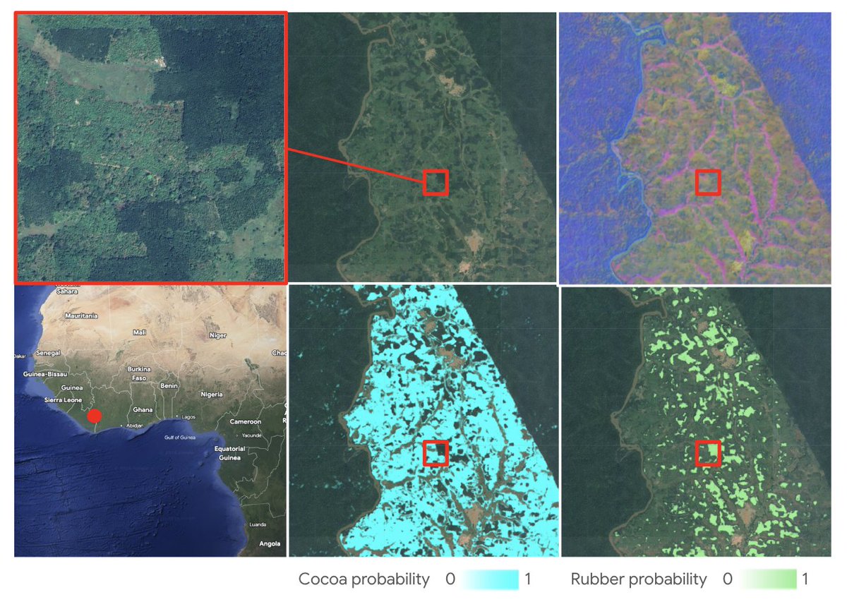
ALT Six panels display satellite imagery and maps of a West African region, with a red dot on a map of the Ivory Coast/Ghana area indicating the location. The top panels show zoomed-in, natural-color, and false-color views of a forested landscape, while the bottom panels show "Cocoa probability" in cyan and "Rubber probability" in green. A red square across several panels highlights a specific area where these different layers of data are compared.
1
18
3,776
May 22
FOTBCD: A Geographically Diverse Dataset for Building Change Detection from High-Resolution Aerial Imagery

Excited to share FOTBCD a new building change detection dataset (0.2m, 512x512).
• Binary: ~28k pairs (change,no-change) — on 🤗 HF
huggingface.co/datasets/retg…
• Instances: 4k pairs with building polygons labeled
UNCHANGED / DEMOLISHED / NEW
Code & more:
github.com/abdelpy/FOTBCD-da…

2
8
49
7,681
Robin Cole retweeted

What happens when you can monitor global cropland daily in near real time?
On the latest #AgTechTalk podcast by @AgBusinessMedia, Andrew Pylypchuk breaks down how next-gen satellite data is reshaping #agriculture and the ag value chain.
🎧Listen now: hubs.li/Q04hwfHk0
2
4
272
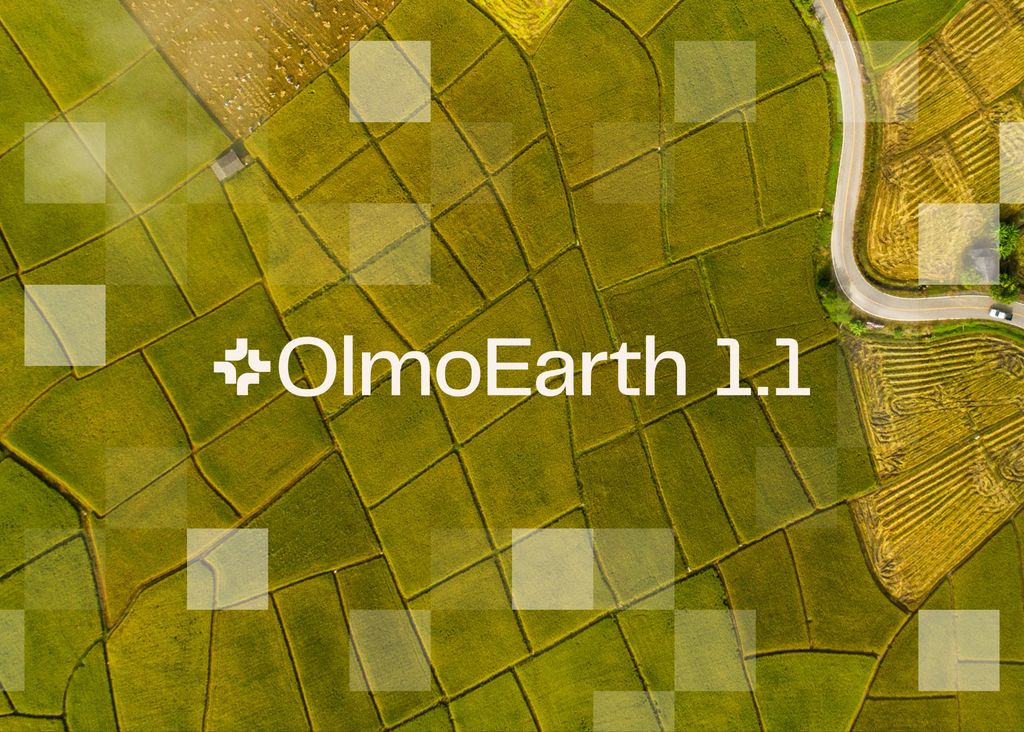
May 21
Olmoearth v1.1 release

Today we’re releasing OlmoEarth v1.1. It’s 3x cheaper to run than v1 while delivering the same state-of-the-art performance—and fully open. 🧵
2
10
1,974
May 20
DeltaBit Demo: Change Detection Using Just a Browser 🗺️

ブラウザだけで変化検知ができるデモDeltaBit 🗺️
配信側はAlphaEarthの時系列差分を軽量GeoTIFFタイル化。ブラウザ側はGeoTIFFタイルを取得しロジスティック回帰で推論。静的タイル配信&ブラウザ推論でバックエンドゼロが成立する構成。
calebrob.com/deltabit/
#foss4g #foss4gj

3
18
2,499
May 11
AlphaEarth Embeddings, Zonal Statistics, and PCA
May 11

Can AlphaEarth Foundations embeddings preserve interpretable structure after aggregation from pixels to field polygons? We used RasterFlow to build the mosaic and vectorized predictions, then an experimental zonal-stats step computed field-level means. bit.ly/4djVIhy
14
4,613

May 11
I just sponsored @torchgeo. Go Sponsor your open source dependencies! You can join me at: github.com/sponsors/torchgeo…
1
1
10
2,446
Robin Cole retweeted

May 10
LabelMe v6.2 is out.
- Oriented rectangle shape: a rotated bounding box that hugs off-angle objects (parking lots from above, ships, scanned text).
- More AI-assisted shapes: oriented rectangle, rectangle, and circle, fitted from a SAM mask.
4
39
366
28,887
May 9
Oriented Bounding Box (OBB) annotation in LabelMe ☑️
May 9

Cars in a parking lot don’t line up with the X axis. Their bounding boxes shouldn’t either.
Oriented rectangles, landing in the next @LabelMeAI release.
5
14
2,656