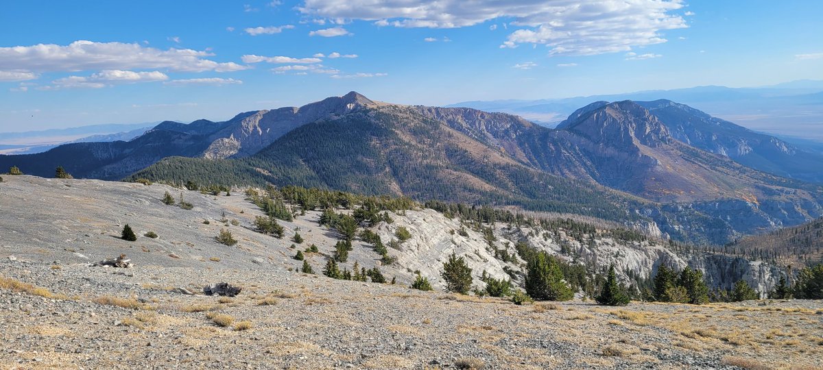
sci/tech PhD. Principal Research Engineer @NSHE. Wide-Area Science. Internet o' Wild Things. EnviroSensing. Mountain Observatories. Long Science. #ViewsMine
- Tweets 2,635
- Following 395
- Followers 500
- Likes 2,919


ALT New in JGR Atmospheres Plume Dynamics Drive Extreme Long-Range Spotting During California's Dixie Fire By Lareau 2025


ALT Dark blue technology-themed backround with eduroam logo and learn more button.

ALT Dark blue tech background with light teal hologram earth for eduroam's global roaming services.

ALT Tech background with gold gradient and laptop with wifi graphic, stating below what eduroam provides to students, educators, and researchers.

ALT Tech background stating eduroam is not just for higher ed, but for K-12 schools, libraries, and other organizations, all for free!


ALT Technological image with connecting dots and lines accompanied by diagonal NSHE logo color band in right corner.