
#FMEUC Lifetime Achievement Award Winner, @GeoHipster Interviewee, the tardigrade of formats, leading #TeamShapefile. I'll be here forever. #shapefile parody
Joined June 2016
- Tweets 9,477
- Following 480
- Followers 4,327
- Likes 6,768
274 Photos and videos


Pinned Tweet

22 Oct 2018
You know what gives me comfort? ––
You know, I know, all my detractors know: when the chips are down y'all will "Export to shapefile"
5
20
131
ShapefiIe (@shapefile@mapstodon.space) retweeted

11 Aug 2023
The more time I spent working with spatial data and building maps etc, the less I hate Shapefile, at least as an input format.
Yes it has limitations. But it is easy to work with, quite compact, and has very wide support and industry knowledge.
1
7
1,193

ShapefiIe (@shapefile@mapstodon.space) retweeted

27 Jul 2023
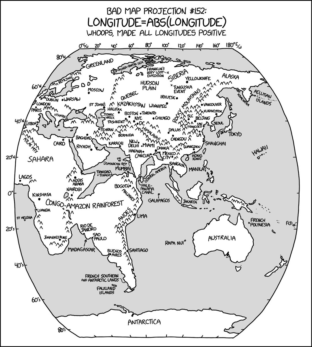
Bad Map Projection: ABS(Longitude) xkcd.com/2807
74
358
4,350
619,155
27 Jul 2023
❤️❤️❤️🥰 a.k.a. #gischat
26 Jul 2023
HOW DO YOU OPEN THIS FUCKING DATA IN Q - Normal Shapefile Users Everywhere
637
ShapefiIe (@shapefile@mapstodon.space) retweeted

19 Jul 2023
If I win the powerball, I'm buying overture, pushing out all the data in shapefile format. Stay tuned. cc Marky mark and the funky bunch
2
1
6
1,082


27 Jul 2023
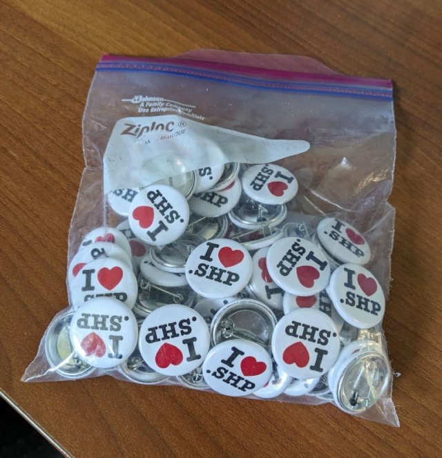
"True artists shp."
-- Steve Jobs 🍎
26 Jul 2023
and everyone laughs at me for supporting shapefiles. THIS IS WHY I SHAPEFILE.
1
565
ShapefiIe (@shapefile@mapstodon.space) retweeted
25 Jul 2023
shapefile / xfile
2
1
6
1,253
ShapefiIe (@shapefile@mapstodon.space) retweeted

24 Jul 2023
Hmm... @flatgeobuf vs @shapefiIe ?

1
1
8
986
13 Jul 2023
Always applicable:
27 Jun 2023
You get your ass off that fucking porch and GO GET THAT FUCKING SHAPEFILE
489
ShapefiIe (@shapefile@mapstodon.space) retweeted

5 Jul 2023
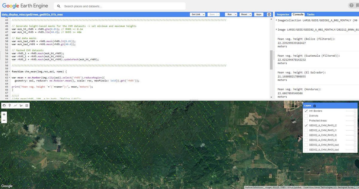
Hi #GISchat 🌐🗨️, I'm checking in from an undisclosed location and must confess that @pokateo_maps's prev. prompt led me to dust off a #GEDI #EarthEngine script I'd written earlier to compare the outputs from said script w/ my new @shapefiIe.🤔
x.com/BzGEO/status/167666318…
5 Jul 2023

It's not *exactly* on my #GIS task list for the day, but over the weekend, I had the chance to look at the most recent #GEDI and #ICESat2 canopy height model (CHM) outputs for my favorite country (🇧🇿). 😉
x.com/BzGEO/status/167584992…
2
3
728
ShapefiIe (@shapefile@mapstodon.space) retweeted
27 Jun 2023
You get your ass off that fucking porch and GO GET THAT FUCKING SHAPEFILE
1
1
3
1,069
30 Jun 2023
Do you remember when you joined Twitter? I do! 7 DECADES ago!! 🎉🚀
#MyTwitterAnniversary
1
1
472

ShapefiIe (@shapefile@mapstodon.space) retweeted

1 Jun 2023
Curious about the Who’s On First places gazetteer? We’ve added @shapefiIe download support and made simple property edits easier from the Spelunker. Read all about it: whosonfirst.org/blog/2023/05…
1
2
3
2,071
ShapefiIe (@shapefile@mapstodon.space) retweeted
1 Jun 2023
Props to @insertcoffee for wrangling the @shapefiIe support and @geocodeearth for hosting the downloads
1
2
2
490