
Assistant Professor in Remote Sensing/Earth Observation, Volcanology & Natural Hazard Assessment @ Coventry University
- Tweets 510
- Following 280
- Followers 166
- Likes 160


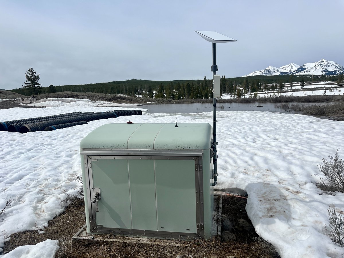
ALT Borehole station B945, near Panther Meadow between Mammoth Hot Springs and Norris Geyser Basin in Yellowstone National Park. The station was fitted with a new Starlink antenna—the flat white square on top of the pole—in May 2023. Photo by Brendan Hodge, EarthScope Consortium, May 10, 2023.

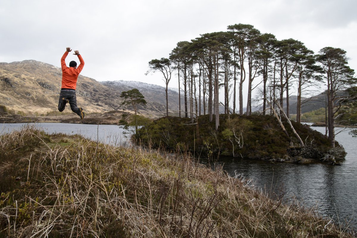
ALT A man jumping high in the air off a hillock above a loch. There is an island in the middle of the loch covered in thin trees. The hillock in the foreground and the hills in the background are treeless, with rough grass seen on the hillock where the man is jumping. The man is wearing a bright orange top.


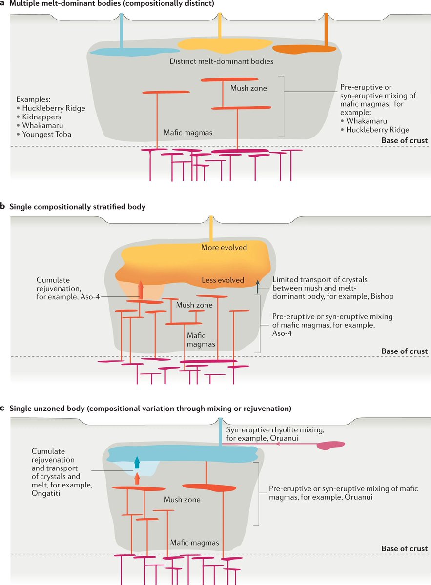
ALT Endmember pre-eruptive magmatic storage configurations for Quaternary supereruptions, shown as cartoon representations of three examples.

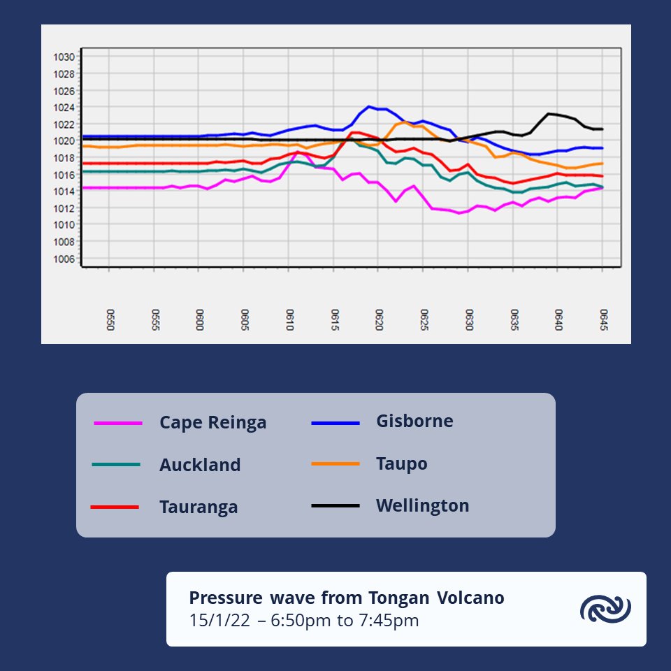
ALT Pressure measurements from various MetService weather stations show a pressure surge from the volcanic eruption in Tonga.