
ethicalgeo.org. A joint @AmericanGeo & @OmidyarNetwork initiative to spark global dialogue on the ethical challenges & opportunities posed by geo technologies.
Joined June 2019
- Tweets 1,270
- Following 293
- Followers 614
- Likes 967
87 Photos and videos


19 Dec 2023
AI can now find your location in photos. “PIGEON system could identify the location of a Google Street view image anywhere on earth. It guesses the correct country 95% of the time and can usually pick a location within about 25 miles of the actual site” npr.org/2023/12/19/121998400…
2
3
198
EthicalGEO retweeted

10 Nov 2023
What are you doing next week???📆
Don't forget to clear some space in your (no doubt hectic) schedules for National Geography Awareness Week (November 13-17)!
aag.org/geoweek-2023/
1
5
8
1,309
EthicalGEO retweeted

19 Oct 2023
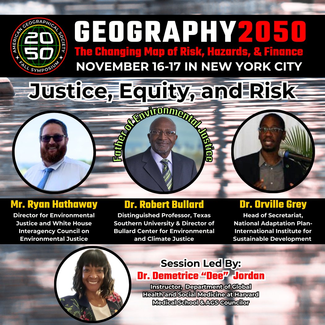
🎉Announcing...our #Justice, #Equity, & #Risk lineup at @Geography2050, Nov 16-17 symposium w @columbiaclimate in NYC! Father of Environmental Justice @DrBobBullard, @IISD_news National Adaptation Plan Network Head, & @WhiteHouse Director for #EJ! Register bit.ly/3YdX6KJ
5
12
2,005
EthicalGEO retweeted
11 Oct 2023
#Geovisualization #Cartography #GIS #Maps #GeospatialTech #SatTech are at the HEART of #ClimateAction! Join our annual symposium on Nov 16-17 in NYC at @Geography2050 with @ColumbiaClimate: bit.ly/3YdX6KJ
11 Oct 2023

Over the past three years, the largest lake in the Middle East, Lake Urmia, transformed from being filled with water into a mostly vast, dry salt flat. Drier conditions over that time led to this change captured by #Landsat 8 and 9 in Sept. 2020 and 2023.
go.nasa.gov/45xnbq1
6
7
1,917
EthicalGEO retweeted
11 Oct 2023
The 2023 @Geography2050 symposium will explore #risks, #hazards, & #finance this Nov in NYC. Register today to learn about #Geotech #GIS use, #sealevel rise, #justice & equity, #NYC #vulnerability to climate change, & more! Register: bit.ly/3YdX6KJ

GIS helps uncover social, economic and environmental inequities in your own backyard and around the world.
See how @USAID combines data and personal stories to address the gender digital divide. ow.ly/LuZK50PVNkj
2
2
583
EthicalGEO retweeted
11 Oct 2023
#Geographers for #ClimateAction! Join us at @Geography2050, our convening with @columbiaclimate Nov 16-17 in NYC! To address our climate crisis, we MUST collaborate across #research, #education, #government, #policy, #tech, #finance, #insurance. Register: bit.ly/3YdX6KJ
10 Oct 2023

Is climate change turning the ocean green?
A new study revealed that 56% of the global sea surface has changed color in the past 20 years. Data from @NASA’s MODIS instrument showed that much of the change is from the ocean turning more green. earthobservatory.nasa.gov/im…
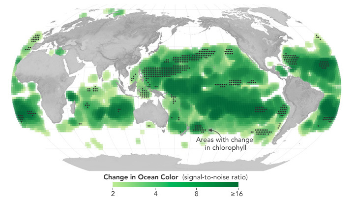
ALT A global map centered on the Pacific Ocean. The map highlights the areas where ocean surface color changed. Change in color is represented by shades of green. The darkest green correlates to higher levels of change. Black dots on the map represent areas where chlorophyll levels also changed.
3
4
1,632
27 Sep 2023
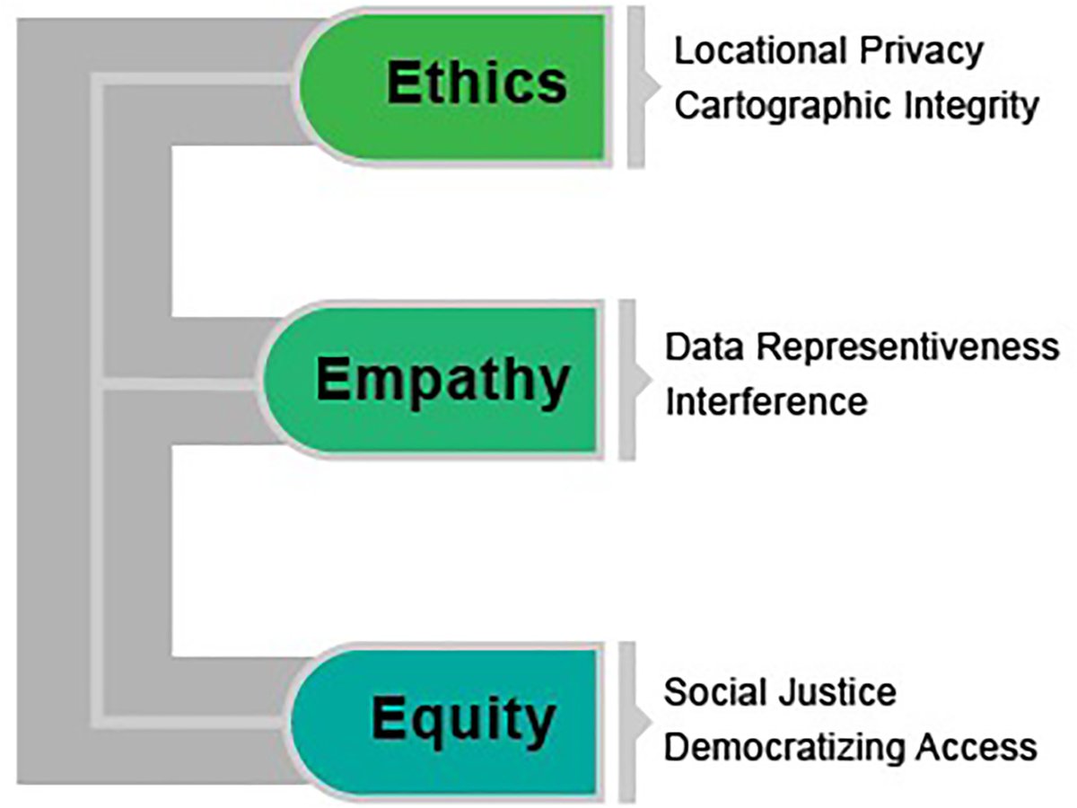
The #geospatial domain operates w/in a framework of policies & regulations that profoundly influence scientific #research & #tech advancements. Understanding this impact is crucial for fostering innovation while ensuring ethical & responsible use of data. bit.ly/3ZBmVW0
2
486
EthicalGEO retweeted

21 Sep 2023
Welcome to our newest @EthicalGEO Locus Charter Supporter, @BeSpatialON ! We're happy to have you as part of our international #geospatial community in support of better standards of practice for location data. Thank you for standing with our 10 founding principles! @PLANETucker

2
6
281
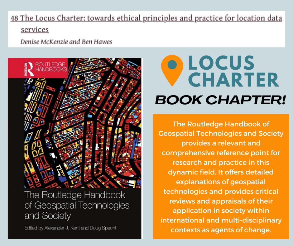
29 Aug 2023
BIG NEWS! @LocusCharter is featured in brand new @routledgebooks Routledge Handbook of #Geospatial Technologies and Society, in a chapter written by Ben Hawes and Denise McKenzie! 🌟 Check it out here: routledge.com/The-Routledge-…
2
3
403
EthicalGEO retweeted
28 Aug 2023
#Geographers are at the cutting edge of #climate! Join us at Geography 2050, Nov. 16-17 at Columbia University, NYC. Connect with #science, #policy, & #tech leaders & convene around our world’s greatest challenges. Submit lightning talks & register early! geography2050.org
9
11
2,568
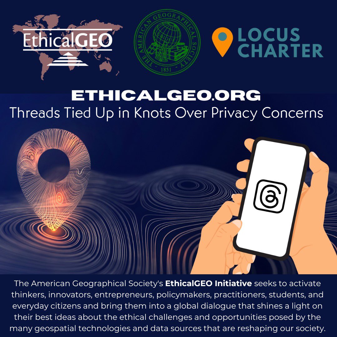
23 Aug 2023
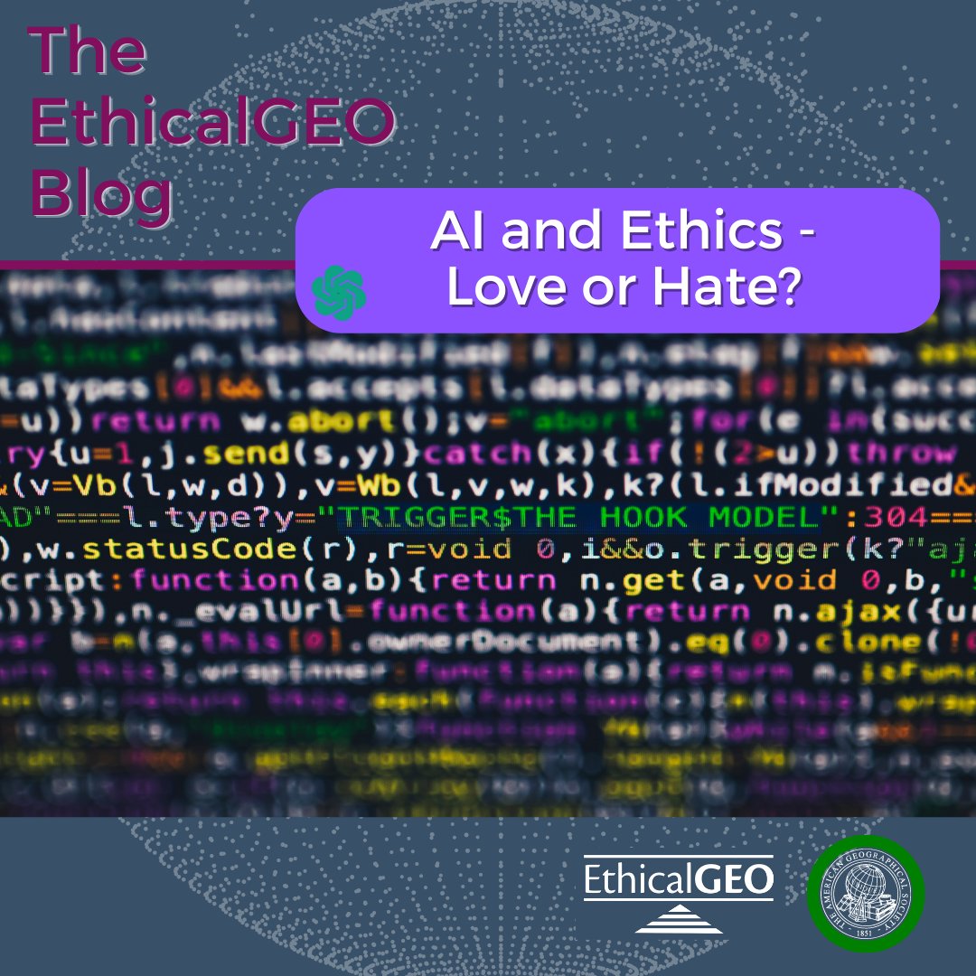
🚨 New blog is up on #Threads #privacy concerns 🚨 Check out our blogs, research fellow, knowledge repository,
and @LocusCharter principles, all at the intersection of #ethics x #geography and #geospatial #data! Read blog here: bit.ly/3KTgiYZ
@AmericanGeo
1
2
261
EthicalGEO retweeted

23 Aug 2023
Be on the cutting edge of #climate. Share your #research at @AmericanGeo #Geography2050 and grow your #network! Digital or in-person talks accepted.@Geography2050 is November16-17 in NYC. Submit a lightning talk proposal early!bit.ly/3qe3dSY
4
6
904
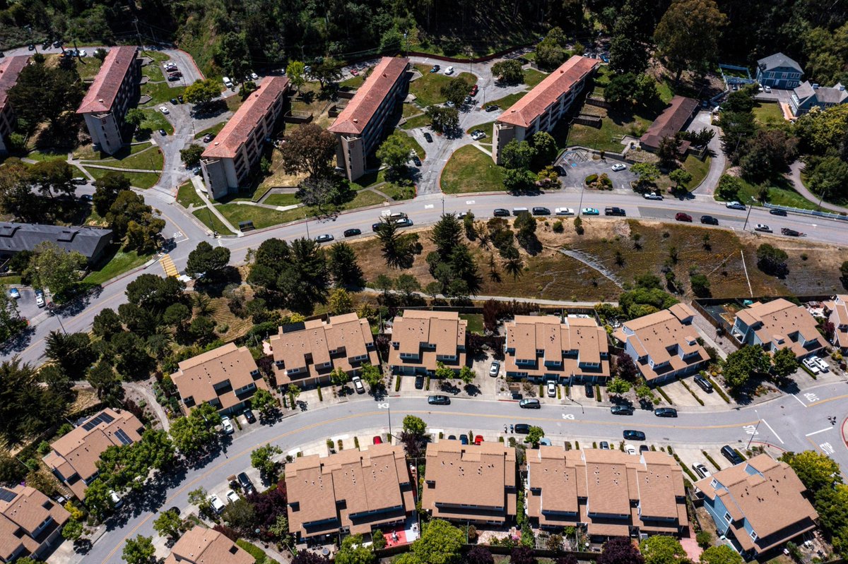
21 Jul 2023
Homes in neighborhoods of color are appraised at much lower values than those in White neighborhoods across major US metros. Racial disparities in appraisals have worsened over time, contributing to the racial wealth gap.
Read more: bit.ly/3rt0kO6
68
EthicalGEO retweeted
18 Jul 2023
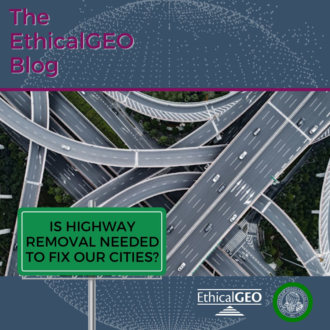
🏙️Is highway removal needed to fix our cities?🛣️
Read more at bit.ly/43vDXF1
1
1
426
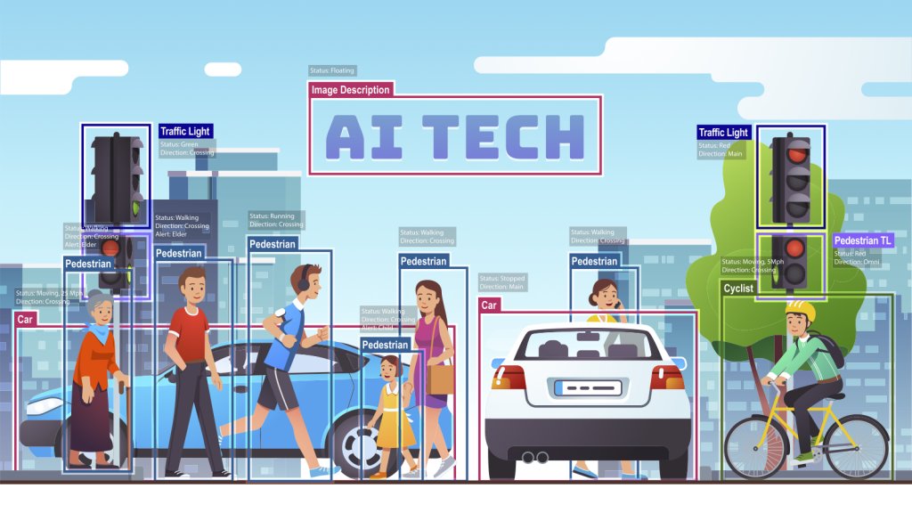
18 Jul 2023
How can Geospatial data and AI work together?
Image recognition, combined with geospatial data, GIS, and lidar, can be a powerful tool to analyze the Earth's surface.
Read more here: bit.ly/3K2VePe
53
EthicalGEO retweeted
17 Jul 2023
Online behaviors have come to form #CyberSocial terrains that now constitute a new dimension of Geography. Check out our Conceptual Foundation video featuring Dr. John Kelly (@Graphika_NYC) as part of the new AGS #ProximityProject!
proximityags.org
2
7
508
EthicalGEO retweeted

16 Jul 2023
New algorithm borrows from nature to escape from ‘search bubbles' m.jpost.com/science/article-…
5
7
588
EthicalGEO retweeted

Is your organisation looking to raise its profile and take a more active role in the #GeoCommunity?
As an Associate Member you would be fully connected into the UK's geospatial community and be offered a range of benefits
🔗 Membership Benefits: bit.ly/agi_membership
1
1
198
17 Jul 2023
Congrats to our AGS Council Member Mr. Clinton Johnson! 👏👏👏

Last year @ClintonGJohnson won WGIC DEI Trailblazer – Individual Champion Award for his contributions to advancing #DEI in #geospatial community.🏆
👉WGIC continues to acknowledge #DEI champions. Submit your #DEITrailblazerAwards nominations before July 31 wgicouncil.org/wgic-welcomes…

1
5
601
EthicalGEO retweeted
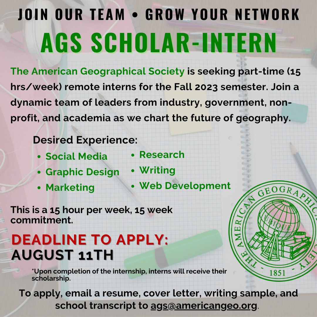
14 Jul 2023
#JoinOurTeam! AGS is currently looking for part time interns for the Fall 2023 semester! 🌎🤓🛰️📝
Deadline to Apply: August 11th
7
8
1,270