- Tweets 140
- Following 313
- Followers 89
- Likes 105


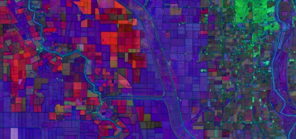
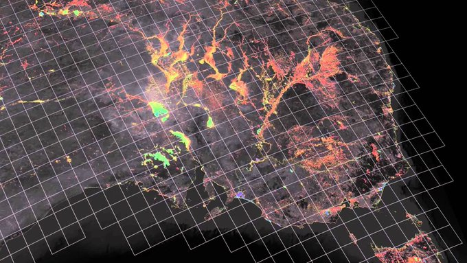
ALT False-color satellite image of agricultural fields shown in a grid of vibrant reds, purples, and greens.

ALT Graphic titled "Oklahoma Electrical Transmission line construction 2024-2025" compares satellite images to illustrate new infrastructure development.
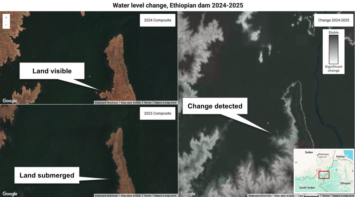
ALT Comparison of satellite imagery titled "Water level change, Ethiopian dam 2024-2025" shows land visible in a 2024 composite that becomes submerged in a 2025 composite.


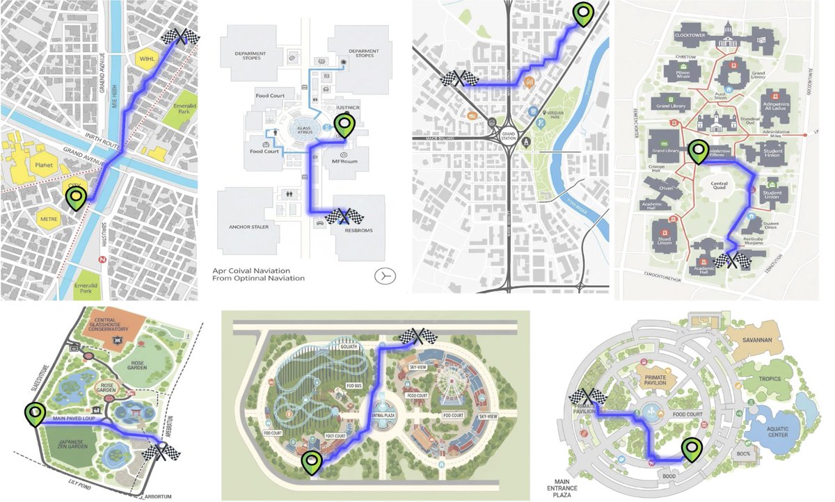
ALT Example Paths generated by the proposed pipeline. We observed that the generated images tend to render text incorrectly however we mostly focus on path qualities in this work. We believe that with improvements in image generation models, these artifacts can be easily suppressed in future work.


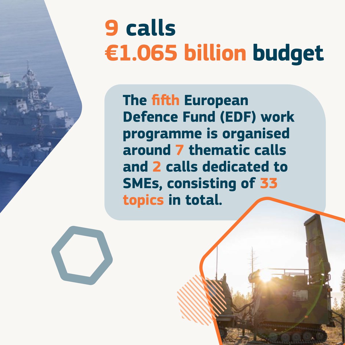
ALT Visuals for EDF Calls for Proposals for 2025