
Working on interoperability, geosocial networking and democratic access. Recovering entrepreneur, intelligence officer, open geospatial guy.
Joined April 2007
- Tweets 9,831
- Following 2,475
- Followers 3,088
- Likes 8,926
3,027 Photos and videos


Jeff Harrison retweeted

Tactical ISR moves at the speed of decisions. ICEYE ATR processes a Dwell Fine image in seconds: bombers, transport aircraft, helicopters, air defense. Classified output, not raw data.
hubs.li/Q04lxn8_0
1
4
34
1,966
Jeff Harrison retweeted

Jun 11
@maplibre's most recent newsletter dropped last week: Martin tile server now serves MLT on the fly (39% smaller), GL JS v6 pre-releases are open for testing, and the team is at State of the Map US in Madison this week.
#MapLibre
maplibre.org/news/2026-06-03…
2
4
127
Jeff Harrison retweeted

Jun 11
Someone mapped the entire world's power grid on a single website.
→ 120,000 power plants
→ 2.7 million transmission lines
→ 800,000 substations
→ Plus data centers, gas pipelines, submarine cables, and flood zones
100% free. Runs in your browser.
14
128
784
50,474
Jeff Harrison retweeted

Jun 9
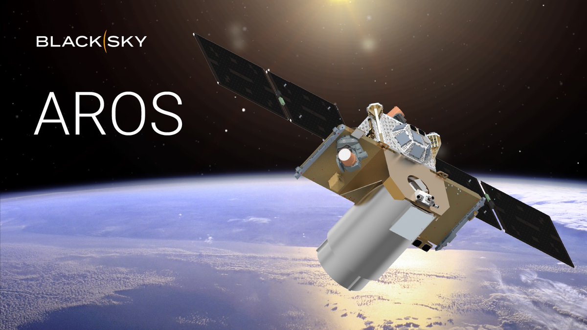
BlackSky to accelerate broad-area collection work under NRO contract modification spacenews.com/blacksky-to-ac…
3
7
34
4,882
Jeff Harrison retweeted

Apple just announced gaussian splatting is coming to Apple Maps at WWDC.
24
157
2,593
256,682
Jeff Harrison retweeted

Jun 5
"Real-Time Satellite Intelligence Is Making Ukraine's Drone Strikes Deadlier Than Ever. Commercial satellite imagery, sent straight to soldiers' phones, is speeding up the kill chain and causing new problems for Russian forces." @WSJ wsj.com/world/europe/real-ti…
8
41
4,596
Jeff Harrison retweeted

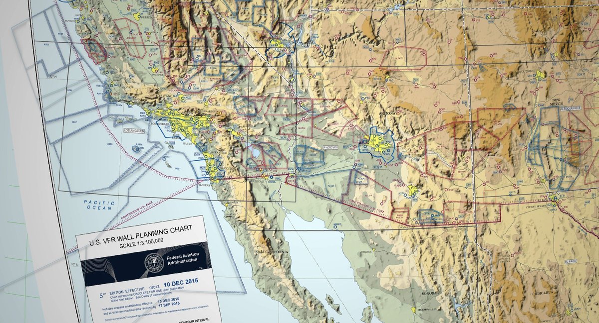
Open Source Aviation Maps tech.marksblogg.com/aviation…
Build your own aviation charts with Python, BASH and SQL.
2
8
59
3,733
Jeff Harrison retweeted

Jun 3
CSSC渤海造船 新型潜水艦の進水
5/29撮影の衛星画像。記事で取り上げられている120m級セイルレス新型潜水艦はこれのことだと思う。ただ、分解能の都合もあり、はじめ見たときはセイルレス船形とは分からなかった。潜水艦が進水したのは間違いないが、慎重な判断が必要だった
@SkyfiApp
@Satellogic
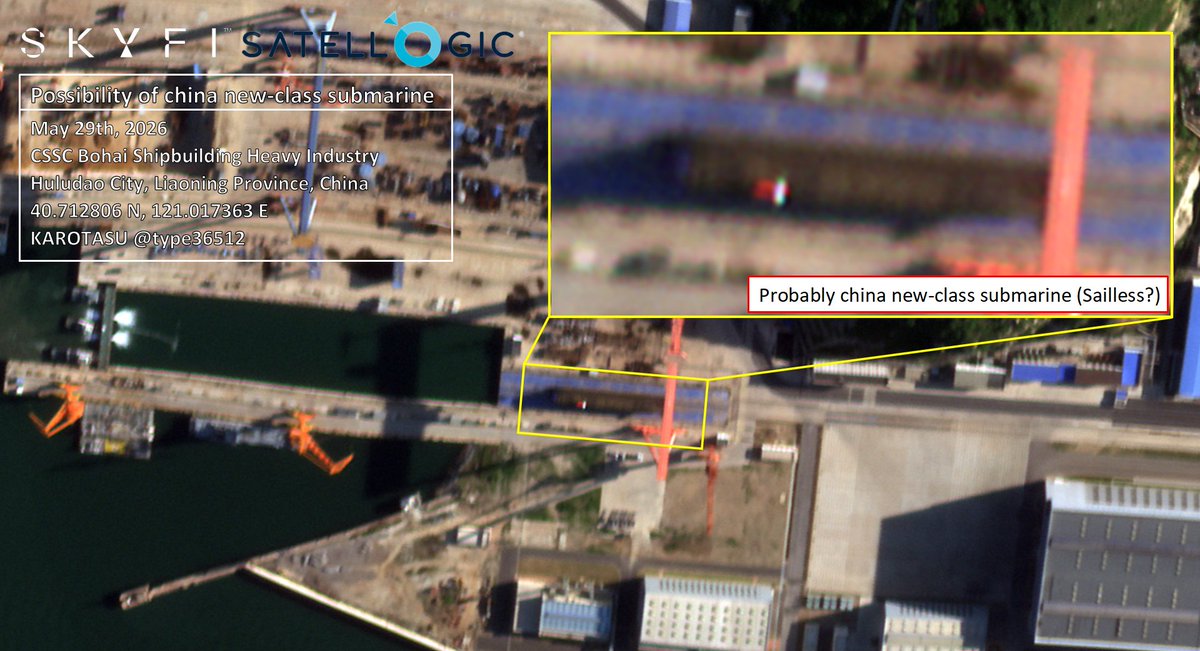
Jun 3

New Mystery Submarine Signals China’s Rapid Undersea Expansion
navalnews.com/naval-news/202…
NAVAL NEWS20260603
3
50
148
84,854
Jeff Harrison retweeted

Jun 2
GeoLibre Desktop v0.7.0 is out.
This release adds a big round of data loading, identify, editing, settings, and processing improvements:
- GPX layers from URL or local file, with waypoints, tracks, and routes loaded as separate selectable layers
- Delimited text layers from URL or local file using longitude and latitude fields
- WFS layer support in the Add Data dialog
- WMS GetFeatureInfo identify support
- Inline attribute table editing
- Wider, scrollable attribute tables and identify popups
- Plugin state persistence in project files
- Whitebox toolbox backed by a managed Python sidecar (700 geoprocessing tools)
GitHub: github.com/opengeos/GeoLibre
Website: geolibre.app
Live demo: geolibre.app/demo
#geospatial #opensource
4
56
339
16,726
Jeff Harrison retweeted

Building and maintaining proprietary map data is no longer a strategic moat: it is a massive, leaking pipe in your balance sheet.
Learn why building your own map is no longer a viable business strategy: bit.ly/4dDXfjQ
#OvertureMaps

1
1
2
441
Jeff Harrison retweeted

Jun 1
Satellites zoomed-in on the aftermath of the New Glenn rocket explosion at Blue Origin's LC-36 launchpad, and the extent of the damage is visible from orbit. space.com/space-exploration/…
3
10
40
7,358

Explore what’s possible with Mapbox Standard Style 🎨
This interactive playground lets you customize your map in real time — adjust light, road colors, feature visibility, and more, and instantly see the impact.
Every change generates ready-to-use code for web, iOS, and Android, so you can move from idea to implementation faster.
Design the map you want, then ship it with confidence: docs.mapbox.com/playground/s…
#BuiltWithMapbox #MapsDesign #DeveloperTools
2
6
134
9,442
Jeff Harrison retweeted

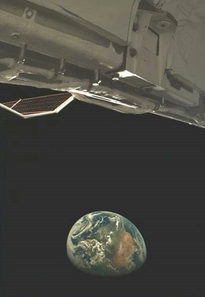
May 26
The next era of Moon exploration has begun! We're proud to announce a $75 million subcontract from @NASAJPL to deliver four drones above the Moon's south pole with our Elytra orbiter. In support of @NASA's MoonFall mission and larger Moon Base initiative, these drones will help map safe landing spots and resources for future Artemis missions. Read more here: fireflyspace.com/news/firefl…
32
192
1,144
40,862
Jeff Harrison retweeted

May 22
QGISのプラグイン「AI Edit」に新機能「Vectorize」が登場。
航空写真から作成した土地被覆データの上で、抽出したい色を選択して実行するだけで自動でベクトル化(線や面のデータに変換)できる模様。
簡単4ステップで導入も容易とのこと。
詳細はリプ欄。
1
25
143
5,667
Jeff Harrison retweeted

May 22
Constellation deployment made simple with Electron: frequent launches, proven reliability, and precision on orbit 🛰️✨
Mission success once again for @synspective on Electron's 88th launch. Nine missions complete and 18 more to go to finish Synspective's SAR constellation by 2030.

30
155
1,465
63,327

We're open-sourcing CesiumJS Skills. Try them out to give your AI coding assistants deep knowledge of the CesiumJS API so they can help you write correct, performant geospatial code from the start.
hubs.li/Q04h2FNk0
#OpenSource #AI #GitHub #ClaudeCode #AgentSkills
4
23
187
12,562


First light imagery from our latest Pelican launch is here! 📸
Just days after launching three new Pelicans, we received high-resolution first light captures from each spacecraft, including the @Forsvarsmakten's first ever sovereign satellite. Check out these diverse landscapes from around the world. 🛰️🌎
investors.planet.com/news/ne…
1
45
181
14,521
Jeff Harrison retweeted

On-Orbit Compute
🇺🇸 Planet (@planet) announced landmark technical achievement where it successfully deployed and executed AI-driven object detection directly onboard its Pelican-4 satellite.
"Bigger picture: this is an exciting milestone towards delivering Planetary Intelligence. We’re moving AI from the internet into the physical realm, effectively connecting the ‘eyes’ of our satellites with an onboard ‘brain’ to create a nervous system for the planet."
- Will Marshall, Planet CEO and Co-Founder
Below 📸
Imagery captured by Pelican-4 on March 25, 2026 over Alice Springs, Australia, demonstrating the first successful deployment and execution of AI-driven object detection directly onboard Planet spacecraft.
Learn more >> tinyurl.com/bxrexk6c

3
30
115
18,800
Jeff Harrison retweeted

19 Jan 2023
#DYK The WGS84/World Mercator (EPSG 3395) projection is the Army's approved projection for web maps ... NOT the WGS 84 / Pseudo-Mercator -- Spherical Mercator (EPSG 3857).

ALT A man sits behind a desk in a park. The sign on his desk says "U.S. Army Web Maps Should Use EPSG 3395, WGS 84/World Mercator" with "CHANGE MY MIND" written in all capital letters below.
2
4
26
1,735