
Professor -CAF Geomatics Technician Program / Systems Thinker / GEOINT Practitioner / Opinions & Decisions on what to post are my own.
Joined April 2014
- Tweets 2,269
- Following 1,193
- Followers 204
- Likes 417
40 Photos and videos


🇨🇦 retweeted

"He flew too close to the sun. President Xi is leader for life."
@ianbremmer on the sudden ousting of China's top general & growing questions about the stability of the world's largest military.
26
33
121
30,379
🇨🇦 retweeted

Jan 29
Critical Thinking for Strategic Intelligence by Katherine and Randolph H. Pherson - new book out now #China #Russia #AI #SAT #NIE #intellbooks @SageCQPolitics

3
89
394
15,427
🇨🇦 retweeted

8 Nov 2025
Early bird special. Times are hard but a discount helps thanks to my publisher 👏🏾
“When The Map Runs Out” is officially here!
This discount will stay in place until we get the all-clear and folks have room to breathe again.
Because learning shouldn’t be a luxury.
And staying oriented when the map runs out shouldn’t come with a heavy price.
Take your time. Take care of yourselves.
And thank you for the support you’ve already shown this book and the message behind it. Link below:
Hardcopy When the Map Runs Out
lnkd.in/gdwbE4KQ
Paperback When the Map Runs Out
lnkd.in/g6VNvUt7

8
17
92
6,696
🇨🇦 retweeted

10 Oct 2025
Missed the live sessions? The Imagery & Remote Sensing Webinar Series is now available on demand. Explore topics from acquiring imagery to managing data at scale, with practical workflows for educators and GIS professionals.
Watch the recordings here: ow.ly/wNOx50X9qlt

2
6
443
🇨🇦 retweeted

GDAL Released: v3.10.3 geoobserver.de/2025/04/08/gd… via @GdalOrg @EvenRouault #gdal #ogr #qgis #switch2qgis #fossgis #foss4g #opensource #gistribe #gischat #spatial #geospatial #gis #geo #geoObserver pls RT
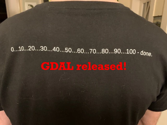
5
30
1,093
🇨🇦 retweeted

6 Apr 2025
Forty-six-year-old abducted victim Trinidad-born British citizen Zaheer Esat is still missing.
For more: cnc3.co.tt/police-still-sear…

1
342
🇨🇦 retweeted

26 Mar 2025
Economist Impact’s Sustainability Atlas, leveraging Infosys Topaz, an AI-first suite of offerings using generative AI technologies, equips business leaders with sustainability insights for informed decision making. Explore today.
Supported by @Infosys

3
3
17
297,541
🇨🇦 retweeted

18 Jan 2025
📣 Exciting News: Introducing Secure Line, a new podcast from CASIS, co-hosted by me, @StephanieCarvin and @leahwest_nsl 🎙️
#SecureLine #Security #Intelligence #GlobalIssues
2
3
13
1,616
🇨🇦 retweeted

L’armée 🇺🇸 utilise la fiction pour imaginer la guerre u dfuture, mettant en scène des défis technologiques tels que les cyberattaques et les drones.
🤔Pensez-vous que la narration peut aider les militaires à se préparer au champ de bataille de demain ? militarytimes.com/news/your-…
1
2
3
177
🇨🇦 retweeted

Eyes in the skies! The Blackjack UAS serving with #MNBLVA is boosting the Brigade’s reach in reconnaissance and surveillance. This capability enhances situational awareness, agility, and precision, showcasing #NATO’s strength on the Alliance's Eastern flank. #StrongerTogether
1
13
54
4,792

28 Oct 2024
RT @CDS_Canada_CEMD: 1/ Honoured to welcome @SHAPE_NATO SACEUR Gen. Cavoli to Canada. As a founding member of NATO, Canada remains deeply c…
18
🇨🇦 retweeted
The first reading on our #ELP2024 list is “A National Security Strategy for the 2020s: How Canada can Adapt to a Deteriorating Security Environment” by @uOttawaGSPIA
uottawa.ca/faculty-social-sc…
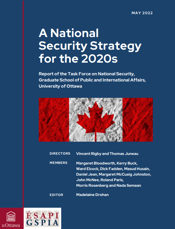
2
151
🇨🇦 retweeted

1 Oct 2024
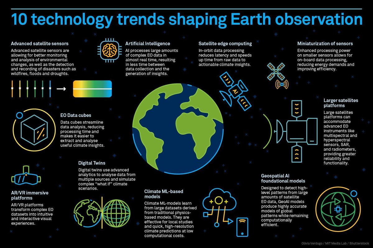
💻 Here are 10 tech trends transforming Earth observations right now, according to @wef and @medialab.
📷 Olivia Verdugo / MIT Media Lab / Shutterstock
🧠 Learn more ⤵️
weforum.org/agenda/2024/09/1…
1
28
84
6,022
🇨🇦 retweeted

10 Sep 2024
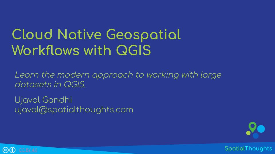
The overwhelming feedback from the class was “…we can’t believe how well this works in QGIS…”. If you want to try this, the workshop is now available on our OpenCourseWare site at ➡️ courses.spatialthoughts.com/… (2/2)
8
32
2,113
🇨🇦 retweeted

5 Sep 2024
#DYK NGA offers an Unclassified Data Lake with over 200TB of government and licensed commercial imagery for industry, government and academic partners studying #GEOINT. 🖥️
Learn more about our Unclassified Data Lake and how you can gain access here. ➡️ nga.mil/news/NGA_Unclassifie…
1
8
18
2,308
🇨🇦 retweeted

28 Aug 2024
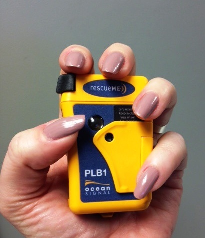
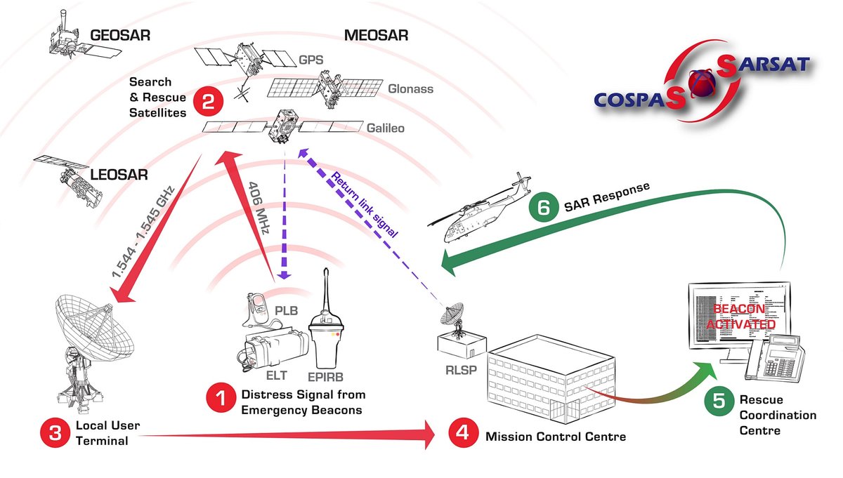
If you have 406MHz beacons, please register them with the Canadian Beacon Registry! Registration is free, easy and can save your life. Keeping your beacon registration up to date facilitates the rapid tasking of #SAR in the event of a distress situation.
cbr-rcb.ca
30
61
5,724
🇨🇦 retweeted

26 Aug 2024
#GeospatialReadingClassics. "Unarmed and Unafraid" tells the dramatic story of aerial reconnaissance from the Civil War to Vietnam. Learn about the pilots, engineers, and legendary aircraft associated with this important intelligence asset.

ALT On the left is a photo of the cover of "Unarmed and Unafraid," while on the right is a photo of a U-2 spy plane flying against the sky. (Photo Credits: Abe Books and the Defense Visual Information Distribution Service photograph by Airman 1st Class Tristan Viglianco, 9th Reconnaissance Wing Public Affairs; modified by the Army Geospatial Center)
2
5
127
🇨🇦 retweeted

25 Jun 2024
There is still time to secure your spot! ✨ Happening tomorrow is our flood simulation webinar featuring #ArcGISPro. Learn how to model water flows directly within the interface and see real use cases. Sign-up now. esri.social/n4RP50SoPjZ @EsriWater

1
13
50
3,330